Caster's Bank Plantation

Wood, Forest in Staffordshire East Staffordshire

England

Caster's Bank Plantation

Dog and Partridge, High Street, Tutbury Reputed to be one of the oldest buildings in the area, dating back to the 14th Century.
Dog and Partridge, High Street, Tutbury Credit: Martin Wilson

Caster's Bank Plantation is a captivating woodland area located in Staffordshire, England. Situated in the heart of the county, this plantation spans a vast area and offers visitors a tranquil and scenic escape from the bustling city life.

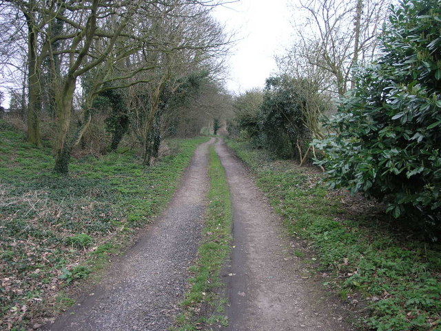
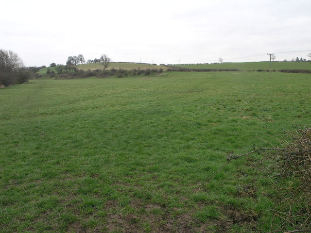
The woodland is known for its dense population of trees, predominantly consisting of oak and beech trees, creating a majestic canopy that stretches as far as the eye can see. The plantation is named after the nearby Caster's Bank, a gentle slope that overlooks the woodland, providing panoramic views of the surrounding countryside.

With its diverse ecosystem, Caster's Bank Plantation is home to a variety of wildlife species. Birdwatchers can spot a plethora of avian species, including woodpeckers, jays, and various songbirds. The forest floor is inhabited by small mammals like foxes, rabbits, and squirrels, which adds to the enchanting atmosphere of the woodland.

Visitors to Caster's Bank Plantation can enjoy a range of recreational activities. The well-maintained trails offer opportunities for leisurely walks and hikes, allowing visitors to immerse themselves in the beauty of nature. Adventure seekers can also explore the woodland through mountain biking or horseback riding.

The plantation's management ensures the preservation of its natural beauty, taking care to maintain a harmonious balance between human activity and the preservation of wildlife habitats. Facilities such as picnic areas and benches are provided for visitors to relax and enjoy the serene surroundings.

Caster's Bank Plantation is truly a haven for nature enthusiasts, offering a peaceful retreat where one can connect with the natural world and appreciate the beauty of Staffordshire's woodlands.

If you have any feedback on the listing, please let us know in the comments section below.

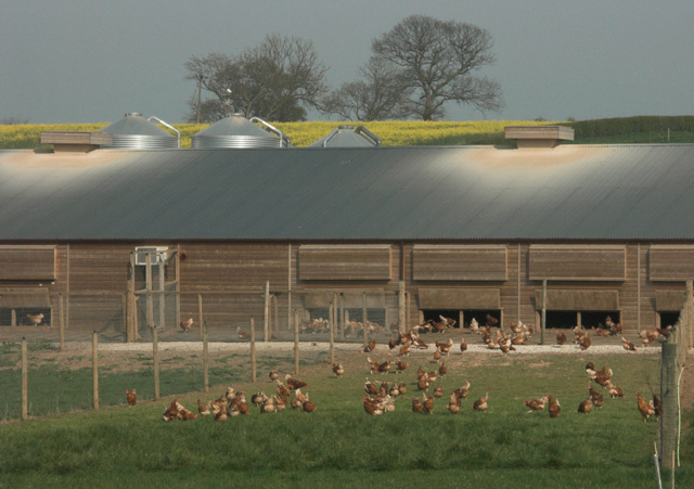
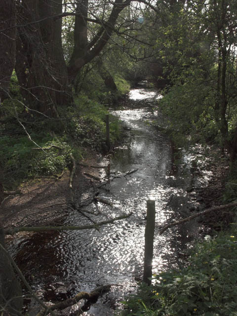
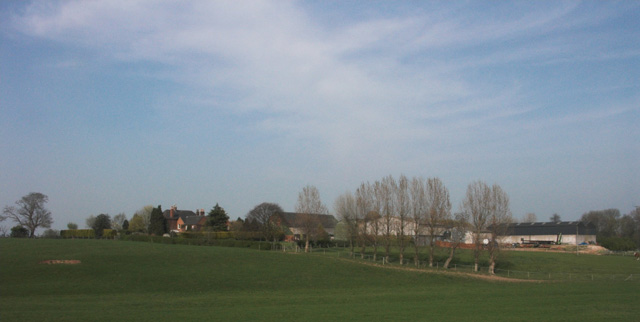
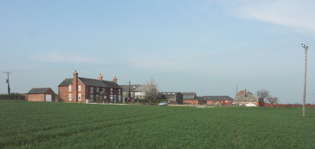
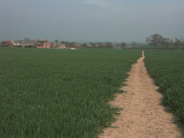
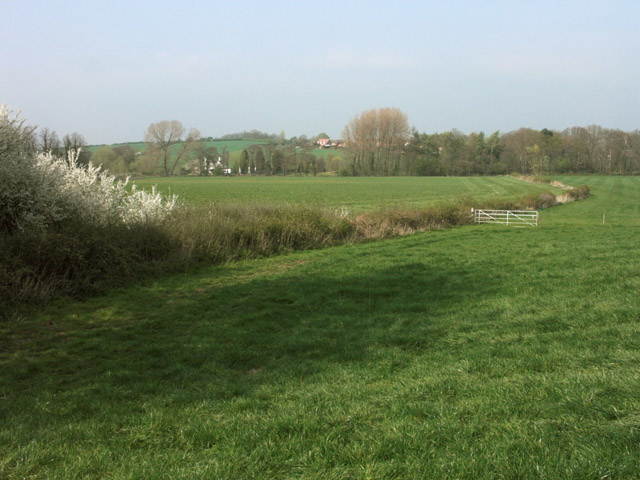
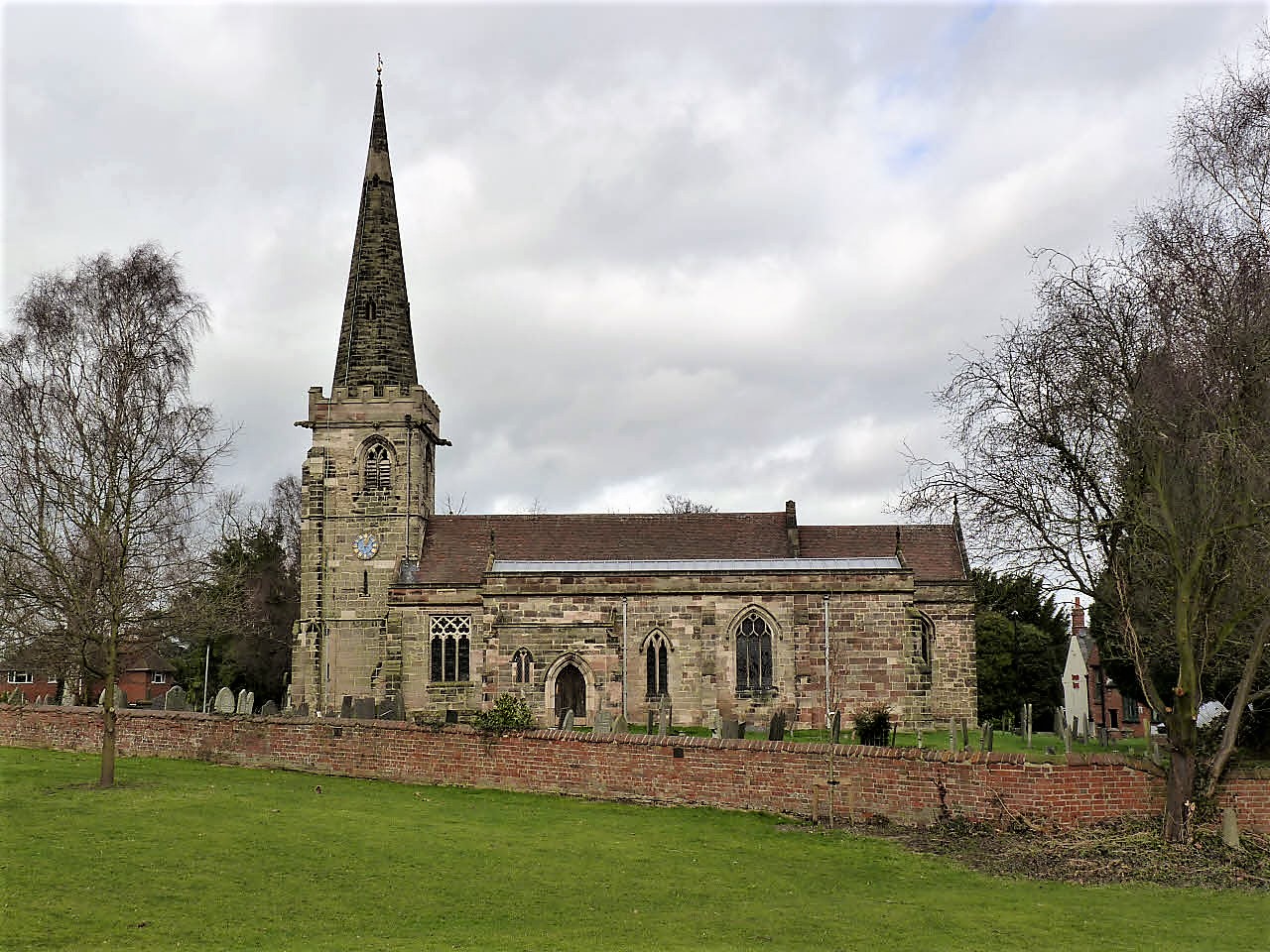
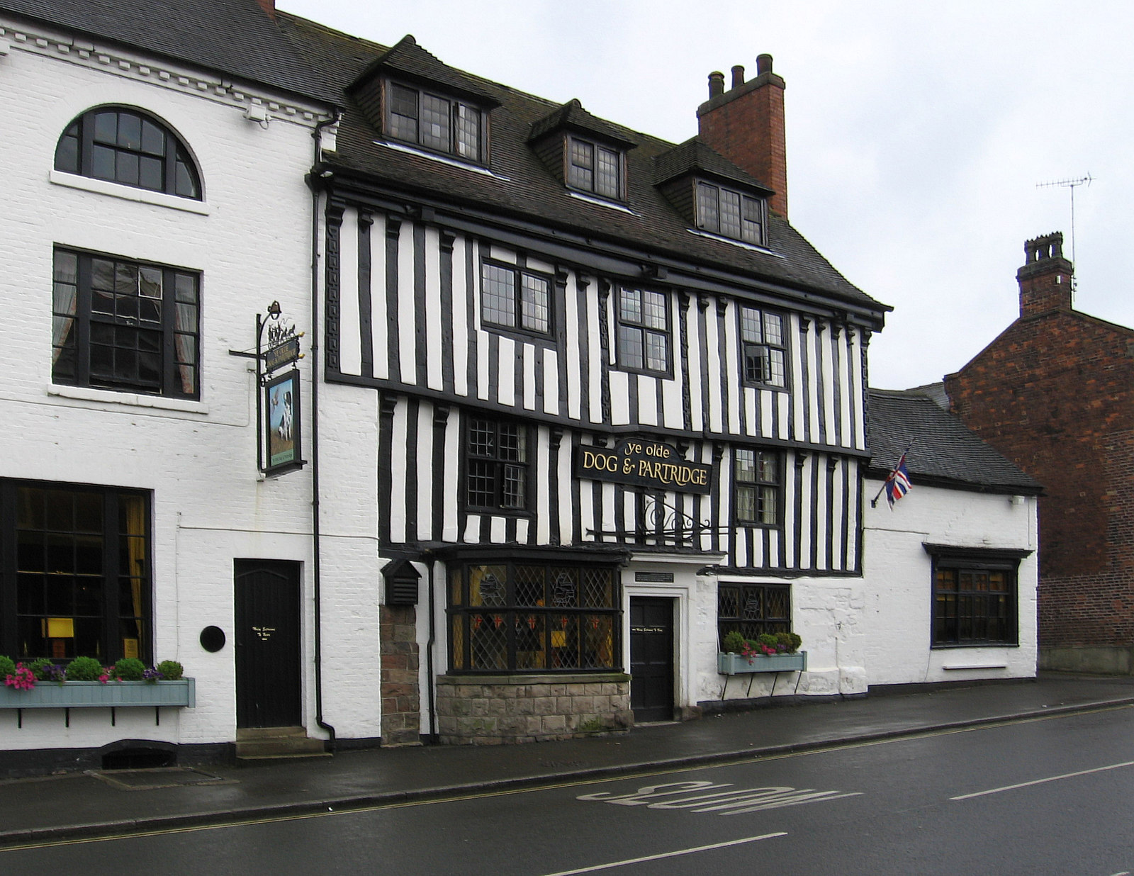
Caster's Bank Plantation Images

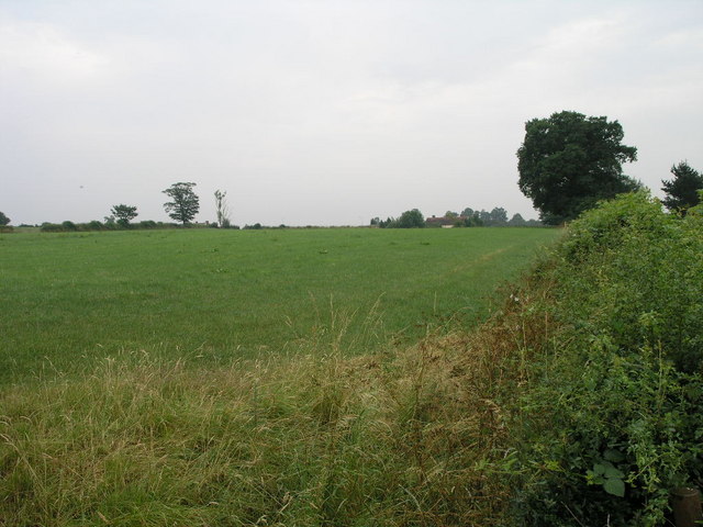
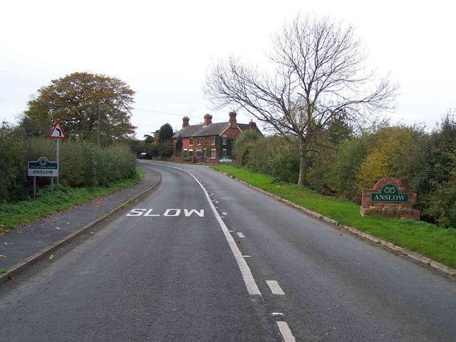
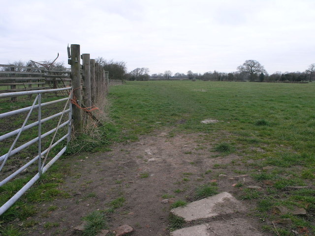
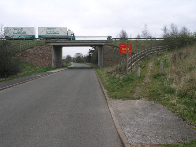
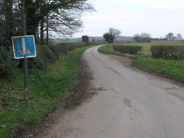
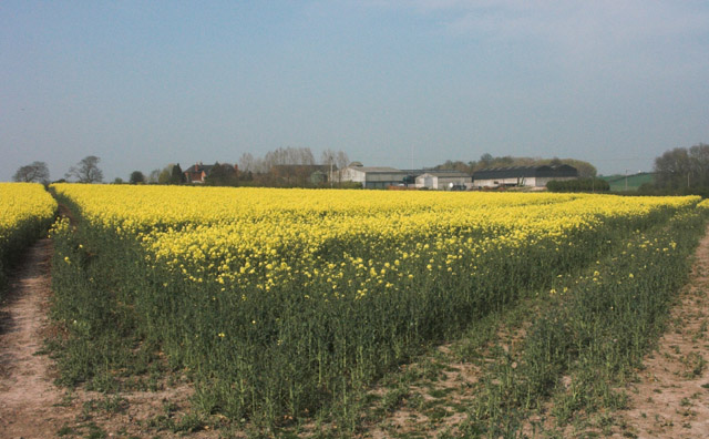
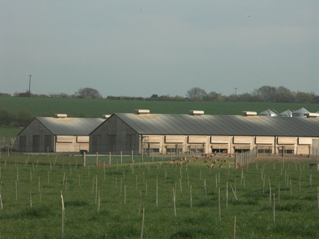
Images are sourced within 2km of 52.845388/-1.6679548 or Grid Reference SK2227. Thanks to Geograph Open Source API. All images are credited.

Dog and Partridge, High Street, Tutbury Reputed to be one of the oldest buildings in the area, dating back to the 14th Century.
Dog and Partridge, High Street, Tutbury
Reputed to be one of the oldest buildings in the area, dating back to the 14th Century.
Beam Hill The gentle slope to the top of Beam Hill as seen from the road to Rolleston.
Beam Hill
The gentle slope to the top of Beam Hill as seen from the road to Rolleston.
Spread Eagle and St Mary's The church in Rolleston on Dove is dedicated to St Mary.  The Spread Eagle pub next door shares some of its architecture with many railway buildings.
Spread Eagle and St Mary's
The church in Rolleston on Dove is dedicated to St Mary. The Spread Eagle pub next door shares some of its architecture with many railway buildings.
The Brickmakers Arms, Upper Outwood
Hilltop Farm. Anslow
Path to Tutbury This public footpath joins Rolleston on Dove with Tutbury.
Path to Tutbury
This public footpath joins Rolleston on Dove with Tutbury.
Bridleway to Alder Moor This bridleway passes by the Cemetery in Rolleston on Dove and leads to Alder Moor.
Bridleway to Alder Moor
This bridleway passes by the Cemetery in Rolleston on Dove and leads to Alder Moor.
Shotwood Hill There are two footpaths which lead from this point to Rolleston on Dove.  One can be seen to the left of the image the other takes the high route over the hill.
Shotwood Hill
There are two footpaths which lead from this point to Rolleston on Dove. One can be seen to the left of the image the other takes the high route over the hill.
Bridge and Path The bridge carries the A511 over the road between Rolleston and Tutbury.  The footpath with the To Let sign is a short local path.
Bridge and Path
The bridge carries the A511 over the road between Rolleston and Tutbury. The footpath with the To Let sign is a short local path.
Road to Castle Hayes This road which leads to Castle Hayes Park is a dead end, as the upside down sign indicates.
Road to Castle Hayes
This road which leads to Castle Hayes Park is a dead end, as the upside down sign indicates.
Oilseed Rape by Rolleston Park farm
Free-range egg production unit - Anslow Park Farm This modern facility has been erected within the last two years on former open fields.
Free-range egg production unit - Anslow Park Farm
This modern facility has been erected within the last two years on former open fields.
Free range hens These hens are housed in a new large free-range egg production unit belonging to a firm called Anslow Eggs.
Free range hens
These hens are housed in a new large free-range egg production unit belonging to a firm called Anslow Eggs.
Backlit stream near Anslow This stream, which is un-named on OS maps, eventually flows into the River Dove near Rolleston on Dove.
Backlit stream near Anslow
This stream, which is un-named on OS maps, eventually flows into the River Dove near Rolleston on Dove.
Rolleston Park
Rolleston Park
Lount Farm and cottages
Well-maintained footpath near Lount Farm All the public footpaths in this grid square are well defined and clearly maintained.
Well-maintained footpath near Lount Farm
All the public footpaths in this grid square are well defined and clearly maintained.
Farmland near Rolleston on Dove
Show me another place!

Caster's Bank Plantation is located at Grid Ref: SK2227 (Lat: 52.845388, Lng: -1.6679548)

Administrative County: Staffordshire

District: East Staffordshire

Police Authority: Staffordshire

What 3 Words

///adjuster.coconuts.global. Near Burton upon Trent, Staffordshire

Related Wikis

Nearby Amenities

Located within 500m of 52.845388,-1.6679548
Bus Stop
Cemetery
Public Transport: platform
Lat/Long: 52.849272/-1.6648445
Bus Stop
Cemetery
Public Transport: platform
Lat/Long: 52.8492137/-1.6650751
Bus Stop
Fiddler's Lane
Naptan AtcoCode: 3800C339601
Naptan NaptanCode: stadgtmw
Public Transport: platform
Lat/Long: 52.8419725/-1.6707896
The data included in this document is from www.openstreetmap.org. The data is made available under ODbL.

Have you been to Caster's Bank Plantation?

Leave your review of Caster's Bank Plantation below (or comments, questions and feedback).