Falling Pit Plantation
Wood, Forest in Staffordshire East Staffordshire
England
Falling Pit Plantation

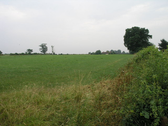
Falling Pit Plantation is a picturesque woodland located in Staffordshire, England. Situated in the heart of the county, this plantation covers a vast area of lush greenery and dense forestation, making it a haven for nature enthusiasts and outdoor lovers alike.
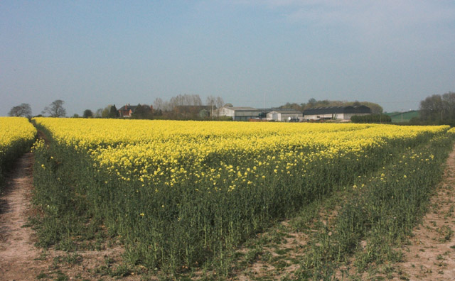
The plantation is known for its diverse range of tree species, including oak, beech, and birch, which create a stunning canopy that provides shade on sunny days. The woodland floor is adorned with a carpet of wildflowers, adding bursts of color to the serene surroundings.
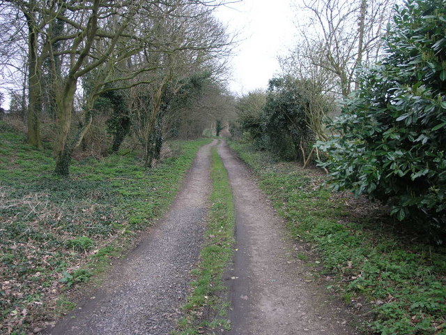
Falling Pit Plantation offers a multitude of walking trails and paths, allowing visitors to explore the area at their own pace. These trails vary in difficulty, catering to both casual strollers and experienced hikers. Along the way, one can encounter wildlife such as squirrels, rabbits, and a variety of bird species.
The plantation is also home to a number of well-maintained picnic areas, offering a perfect spot to rest and enjoy a packed lunch amidst the tranquil surroundings. Moreover, there are several designated camping sites for those looking to immerse themselves in the beauty of the forest overnight.
Falling Pit Plantation is easily accessible, with ample parking facilities available for visitors. The plantation is open throughout the year, allowing visitors to experience the changing seasons and the unique charms they bring.
In conclusion, Falling Pit Plantation is a stunning woodland retreat in Staffordshire, offering a peaceful and rejuvenating escape from the hustle and bustle of everyday life. Its natural beauty and diverse flora and fauna make it a must-visit destination for anyone seeking a connection with nature.
If you have any feedback on the listing, please let us know in the comments section below.
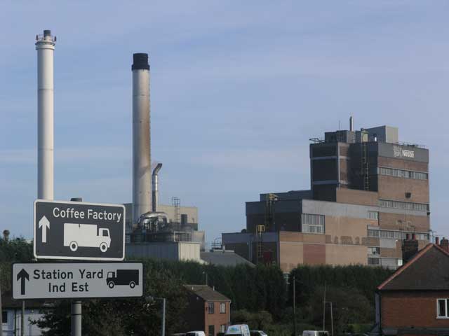
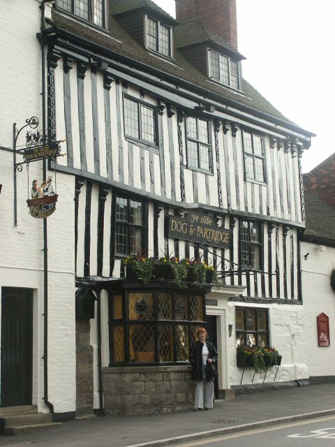
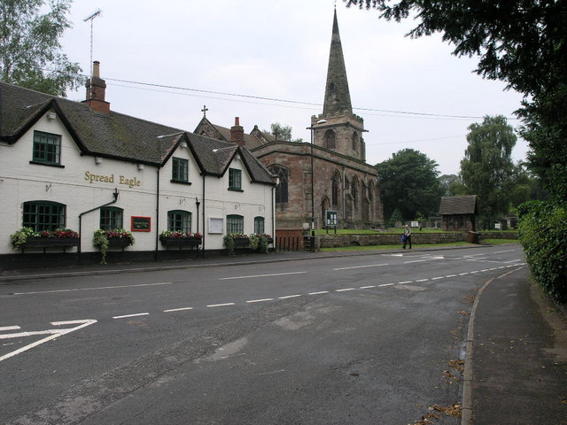
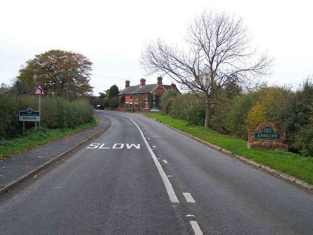
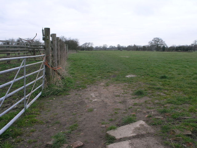
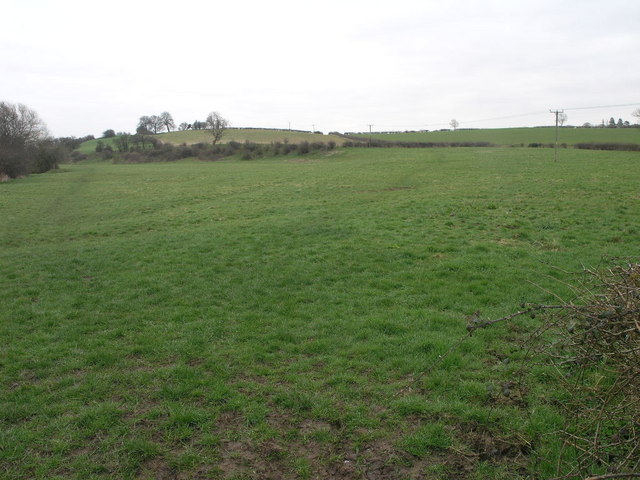
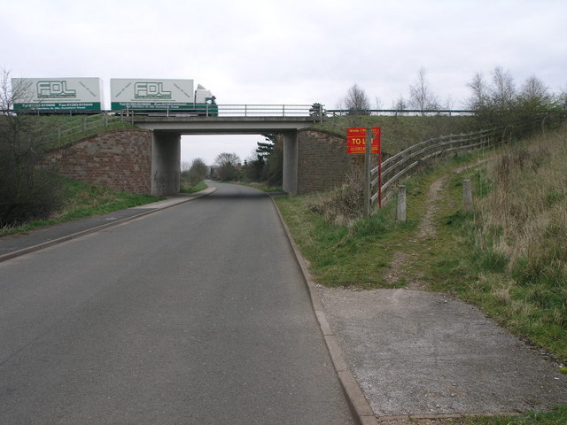
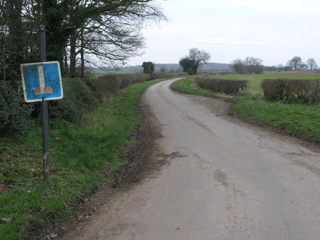
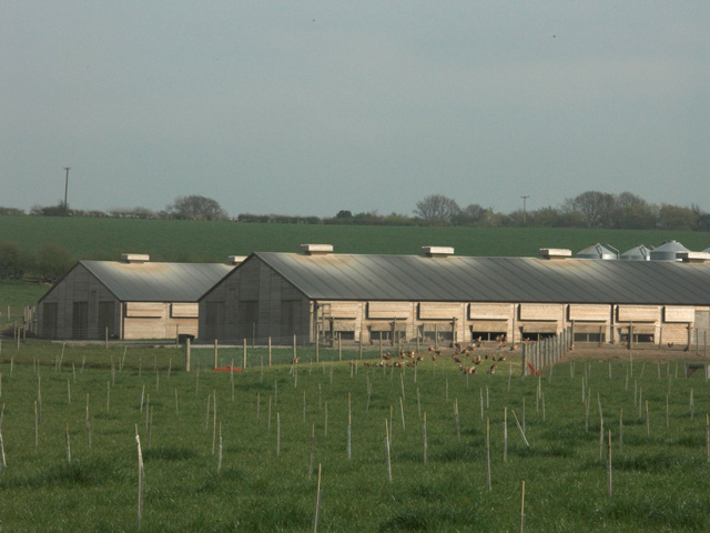
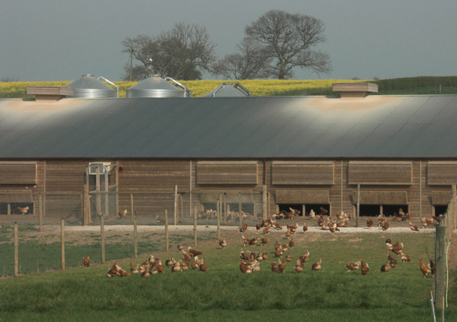
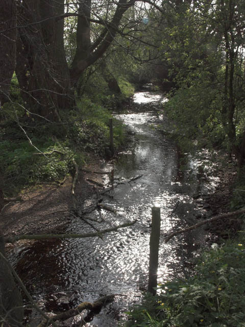
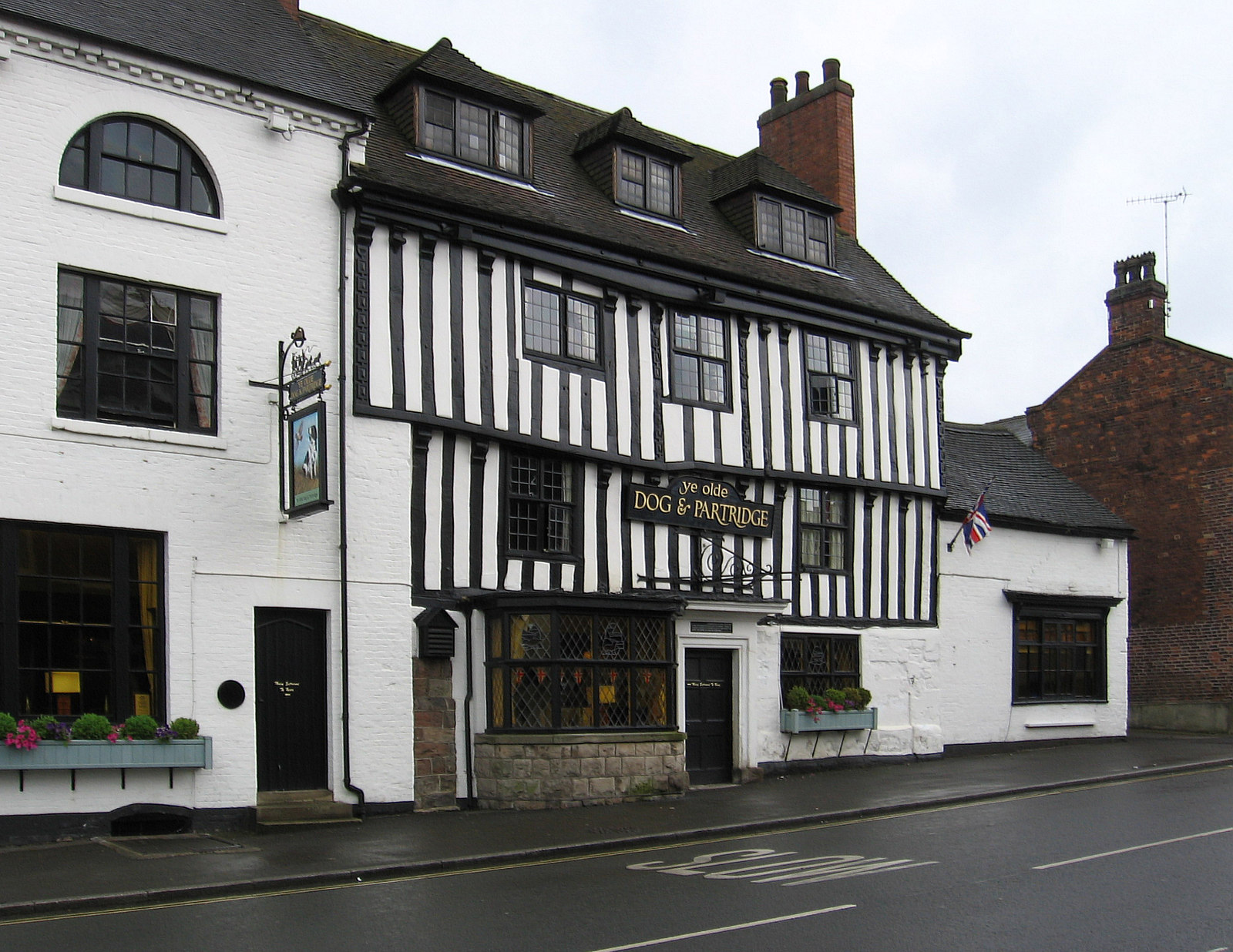
Falling Pit Plantation Images
Images are sourced within 2km of 52.847062/-1.6721737 or Grid Reference SK2227. Thanks to Geograph Open Source API. All images are credited.


Falling Pit Plantation is located at Grid Ref: SK2227 (Lat: 52.847062, Lng: -1.6721737)
Administrative County: Staffordshire
District: East Staffordshire
Police Authority: Staffordshire
What 3 Words
///dripping.reap.chap. Near Burton upon Trent, Staffordshire
Related Wikis

Rolleston Hall
Rolleston Hall was a country house in Rolleston-on-Dove, Staffordshire. Originally built in the early 17th century for Sir Edward Mosley, it had been substantially...
Tutbury
Tutbury is a village and civil parish in Staffordshire, England. It is 4 miles (6.4 km) north of Burton upon Trent and 20 miles (32 km) south of the Peak...

Rolleston on Dove
Rolleston on Dove, also known simply as Rolleston, is a village and civil parish in the East Staffordshire district, in the county of Staffordshire, England...
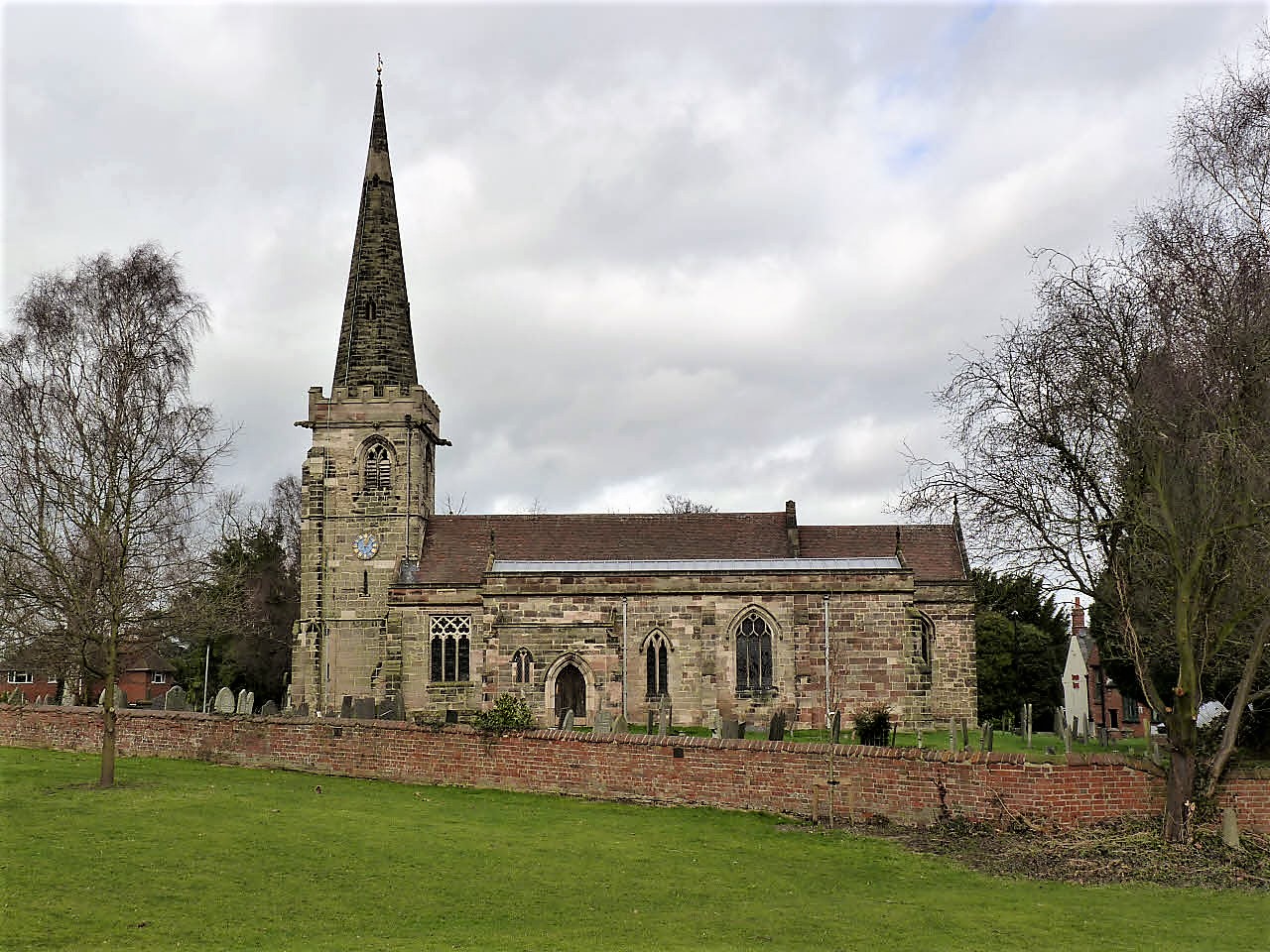
St Mary's Church, Rolleston on Dove
St Mary's Church is a parish church of the Church of England in Rolleston on Dove, Staffordshire. Parts of the structure date to 1130, though it was extensively...
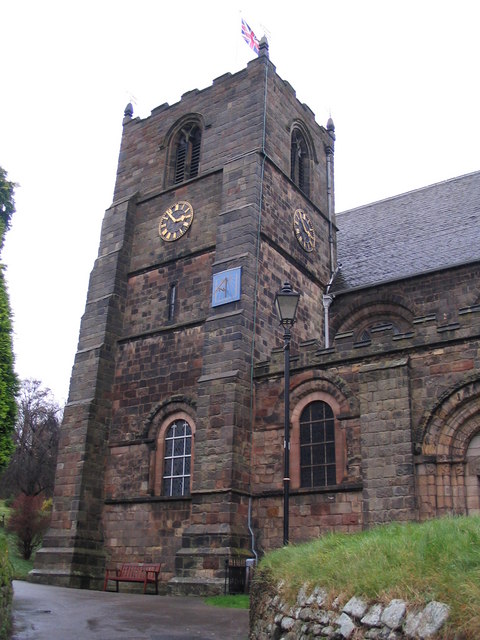
St Mary's Church, Tutbury
St Mary's Church, Tutbury, is a Grade I listed parish church in the Church of England in Tutbury, Staffordshire. == History == The West front of the church...

Tutbury Castle
Tutbury Castle is a largely ruined medieval castle at Tutbury, Staffordshire, England, in the ownership of the Duchy of Lancaster and hence currently of...
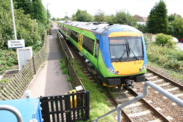
Tutbury and Hatton railway station
Tutbury and Hatton Station is a railway station in England, served by trains on the Crewe to Derby Line, which is a Community rail line known as the North...

The de Ferrers Academy
The de Ferrers Academy (formerly De Ferrers Specialist Technology College) is a secondary school with academy status located in Burton upon Trent, Staffordshire...
Nearby Amenities
Located within 500m of 52.847062,-1.6721737Have you been to Falling Pit Plantation?
Leave your review of Falling Pit Plantation below (or comments, questions and feedback).