Moorfield Hill
Hill, Mountain in Staffordshire East Staffordshire
England
Moorfield Hill

Moorfield Hill is a prominent geological feature located in Staffordshire, England. It is classified as a hill and not a mountain due to its relatively modest height and elevation. Situated within the Staffordshire Moorlands district, Moorfield Hill is part of the wider Peak District National Park, renowned for its stunning landscapes and rugged beauty.
The hill rises to an elevation of approximately 350 meters (1,150 feet) above sea level, offering panoramic views of the surrounding countryside. Its location within the Peak District provides an excellent vantage point to appreciate the rolling hills, verdant valleys, and picturesque villages that characterize the region.
Moorfield Hill is mostly composed of sedimentary rocks, such as sandstone and limestone, which were formed during the Carboniferous period over 300 million years ago. These geological formations add to the hill's unique character and provide insight into the area's ancient history.
The hill is a popular destination for outdoor enthusiasts, offering opportunities for hiking, walking, and nature exploration. There are several well-marked trails that lead visitors through the hill's diverse habitats, including woodlands, heathlands, and open moorland. The area is also home to a variety of wildlife, including birds, mammals, and plant species, making it a haven for nature lovers and photographers.
Overall, Moorfield Hill is a noteworthy geological and natural landmark in Staffordshire, offering visitors a chance to immerse themselves in the beauty of the Peak District and experience its rich biodiversity firsthand.
If you have any feedback on the listing, please let us know in the comments section below.
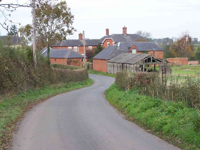
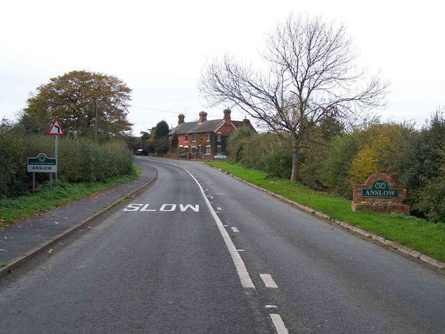
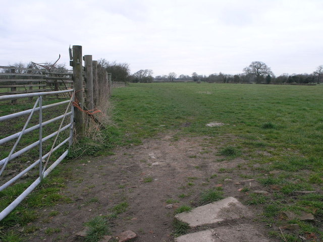
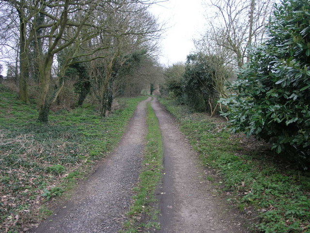
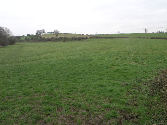
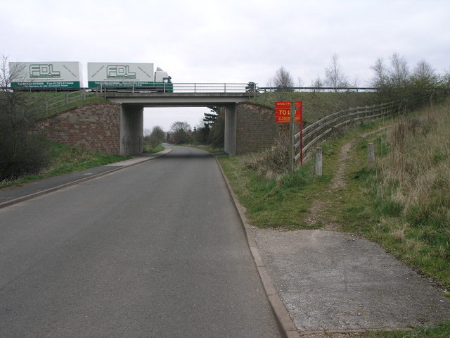
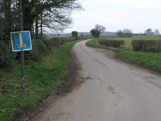
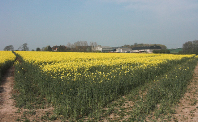
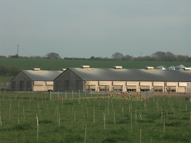
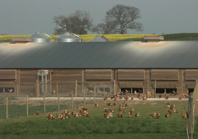
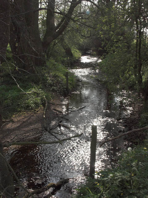
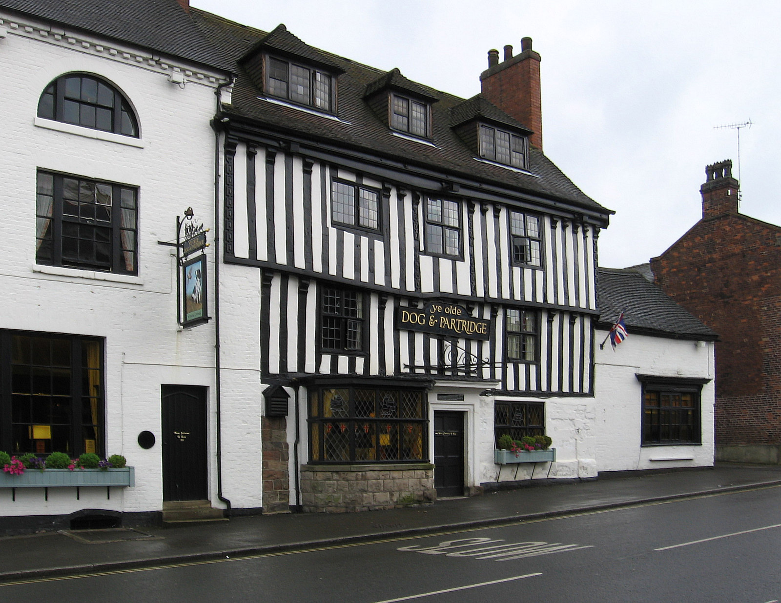
Moorfield Hill Images
Images are sourced within 2km of 52.843769/-1.6742029 or Grid Reference SK2227. Thanks to Geograph Open Source API. All images are credited.


Moorfield Hill is located at Grid Ref: SK2227 (Lat: 52.843769, Lng: -1.6742029)
Administrative County: Staffordshire
District: East Staffordshire
Police Authority: Staffordshire
What 3 Words
///robots.capacity.distorts. Near Burton upon Trent, Staffordshire
Related Wikis

Rolleston Hall
Rolleston Hall was a country house in Rolleston-on-Dove, Staffordshire. Originally built in the early 17th century for Sir Edward Mosley, it had been substantially...
Tutbury
Tutbury is a village and civil parish in Staffordshire, England. It is 4 miles (6.4 km) north of Burton upon Trent and 20 miles (32 km) south of the Peak...

Rolleston on Dove
Rolleston on Dove, also known simply as Rolleston, is a village and civil parish in the East Staffordshire district, in the county of Staffordshire, England...
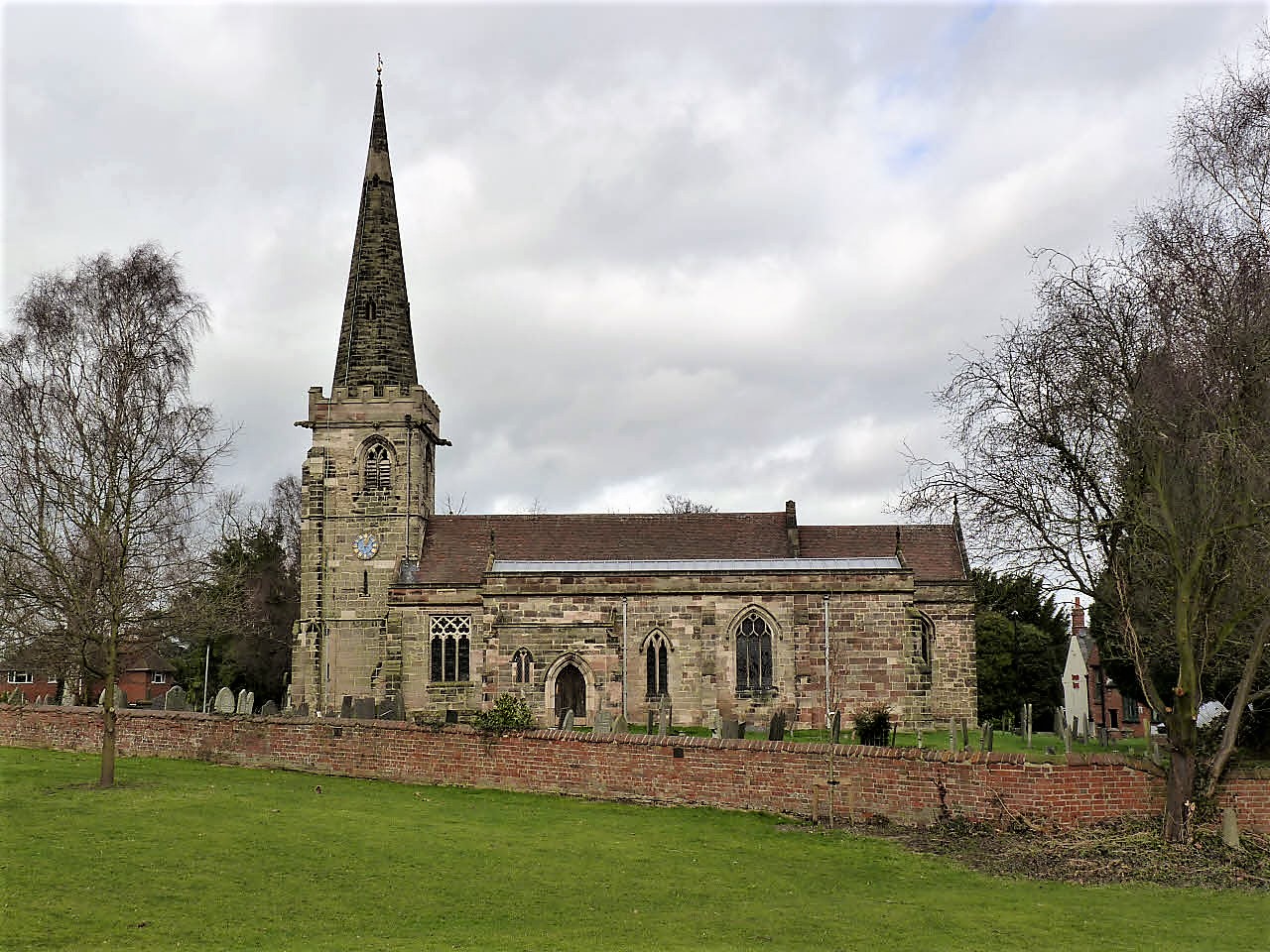
St Mary's Church, Rolleston on Dove
St Mary's Church is a parish church of the Church of England in Rolleston on Dove, Staffordshire. Parts of the structure date to 1130, though it was extensively...
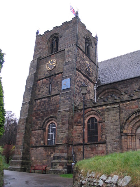
St Mary's Church, Tutbury
St Mary's Church, Tutbury, is a Grade I listed parish church in the Church of England in Tutbury, Staffordshire. == History == The West front of the church...

Tutbury Castle
Tutbury Castle is a largely ruined medieval castle at Tutbury, Staffordshire, England, in the ownership of the Duchy of Lancaster and hence currently of...
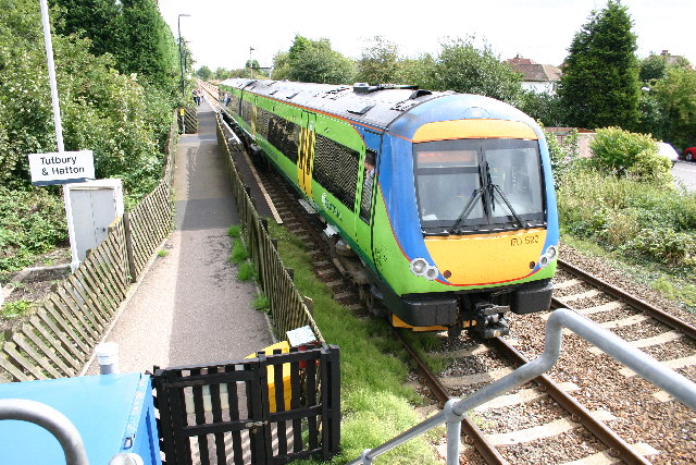
Tutbury and Hatton railway station
Tutbury and Hatton Station is a railway station in England, served by trains on the Crewe to Derby Line, which is a Community rail line known as the North...

Anslow
Anslow is a village and civil parish in the East Staffordshire district of Staffordshire, England, about three miles [4.8 km] north-west of Burton upon...
Nearby Amenities
Located within 500m of 52.843769,-1.6742029Have you been to Moorfield Hill?
Leave your review of Moorfield Hill below (or comments, questions and feedback).