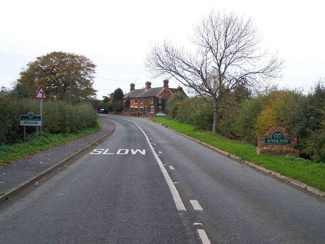
The Lawn

Downs, Moorland in Staffordshire East Staffordshire

England

The Lawn

Beam Hill The gentle slope to the top of Beam Hill as seen from the road to Rolleston.
Beam Hill Credit: Michael Patterson

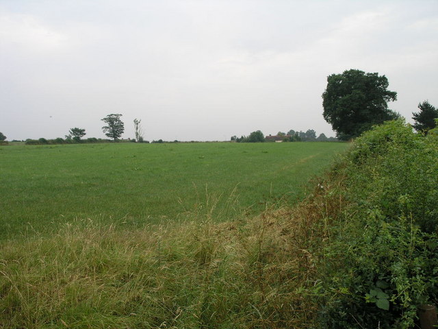
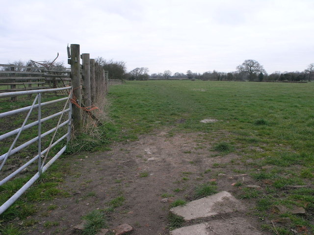
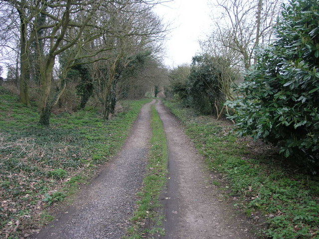
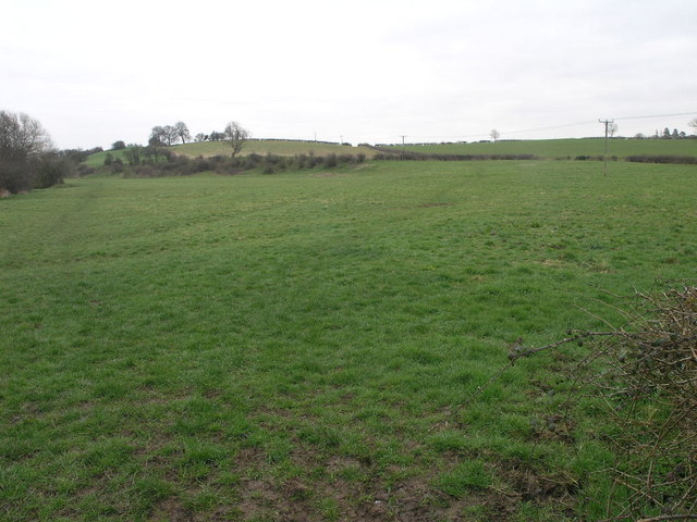
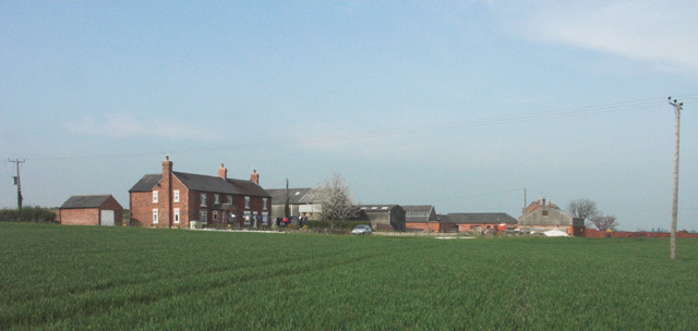
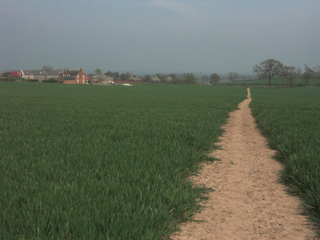
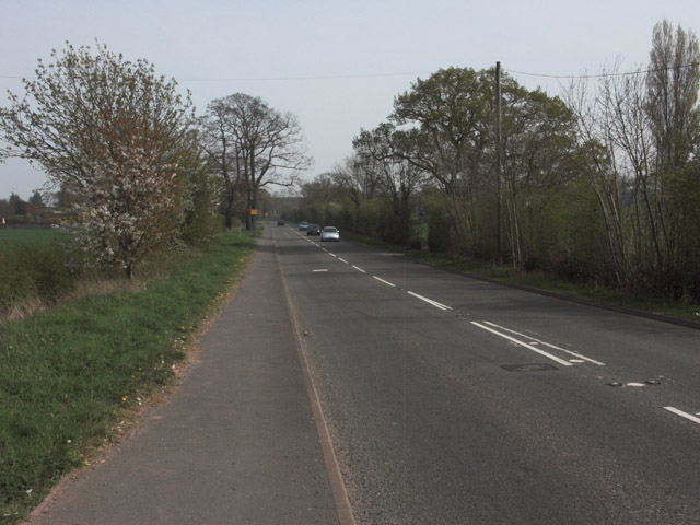
The Lawn, located in Staffordshire, is a picturesque landscape that encompasses both downs and moorland. With an area spanning several miles, it offers a diverse range of natural features and scenic beauty. The downs, characterized by gently sloping hills, provide a delightful backdrop for outdoor activities, such as walking, running, or picnicking. The soft green grass covering the downs creates a tranquil atmosphere, inviting visitors to relax and enjoy the peaceful surroundings.

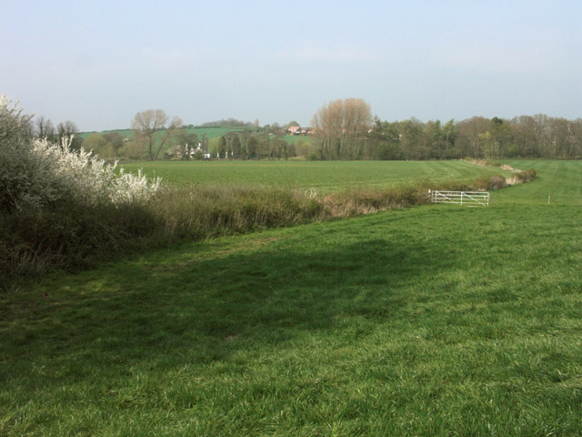
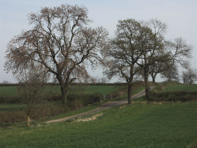
Adjacent to the downs, the moorland of The Lawn showcases a completely different landscape. Here, visitors will find vast stretches of wild, rugged terrain, covered in heather and bracken. This habitat supports a variety of flora and fauna, including unique species of birds, insects, and small mammals. The moorland is a popular destination for nature enthusiasts, who often come to observe and study the diverse wildlife that thrives in this environment.

Aside from its natural beauty, The Lawn also boasts a rich cultural heritage. The area is dotted with ancient archaeological sites, such as burial mounds, standing stones, and remnants of old settlements, providing insights into the region's history. These historical landmarks attract archaeologists and history buffs alike, eager to uncover the secrets of the past.

Overall, The Lawn in Staffordshire offers a captivating blend of downs and moorland, providing a range of outdoor activities, breathtaking views, and opportunities for exploration. Whether one seeks relaxation, adventure, or a chance to delve into history, this scenic landscape is sure to captivate the senses and leave a lasting impression.

If you have any feedback on the listing, please let us know in the comments section below.
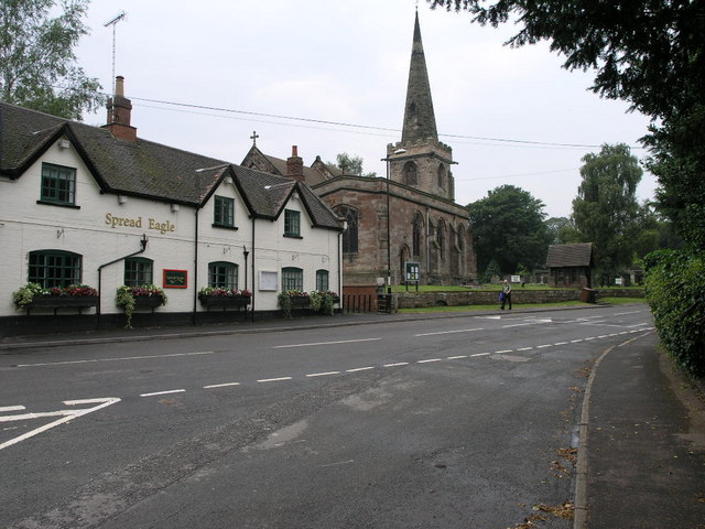
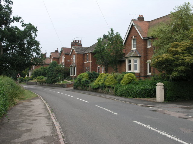
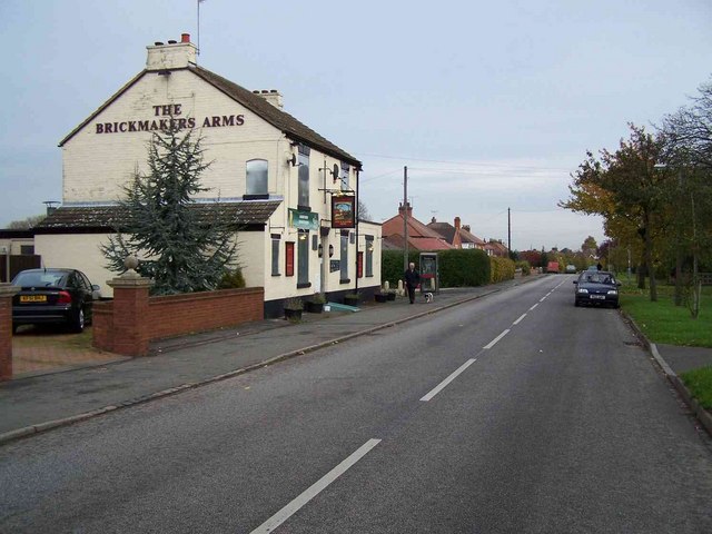
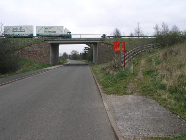
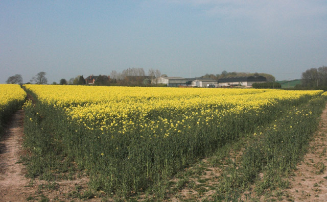
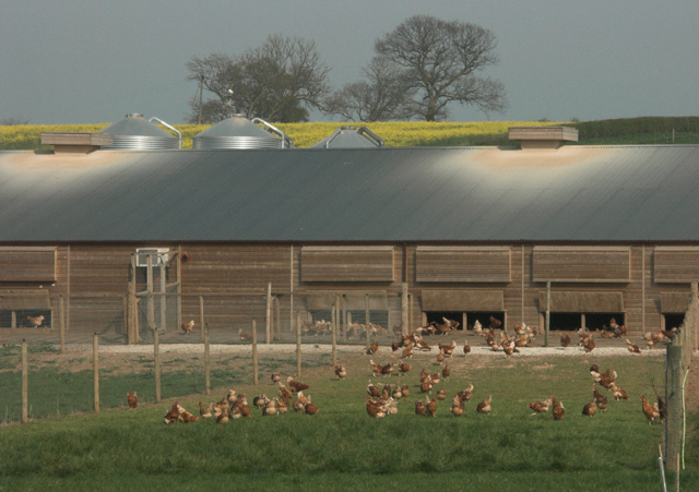
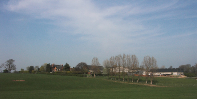
The Lawn Images

Images are sourced within 2km of 52.843855/-1.6600234 or Grid Reference SK2227. Thanks to Geograph Open Source API. All images are credited.

Beam Hill The gentle slope to the top of Beam Hill as seen from the road to Rolleston.
Beam Hill
The gentle slope to the top of Beam Hill as seen from the road to Rolleston.
Spread Eagle and St Mary's The church in Rolleston on Dove is dedicated to St Mary.  The Spread Eagle pub next door shares some of its architecture with many railway buildings.
Spread Eagle and St Mary's
The church in Rolleston on Dove is dedicated to St Mary. The Spread Eagle pub next door shares some of its architecture with many railway buildings.
Houses in Rolleston These large houses on the road into Rolleston are built close to the site of the former railway station.  Given their distance from the village centre they were very likely built around the time of the railway. <span class="nowrap"><a title="https://web.archive.org/web/20080515162221/http://www.rolleston-on-dove.freeserve.co.uk/history.htm" rel="nofollow ugc noopener" href="https://web.archive.org/web/20080515162221/http://www.rolleston-on-dove.freeserve.co.uk/history.htm">Archive Link</a><img style="margin-left:2px;" alt="External link" title="External link - shift click to open in new window" src="https://s1.geograph.org.uk/img/external.png" width="10" height="10"/></span>
Houses in Rolleston
These large houses on the road into Rolleston are built close to the site of the former railway station. Given their distance from the village centre they were very likely built around the time of the railway. Archive LinkExternal link
The Brickmakers Arms, Upper Outwood
Hilltop Farm. Anslow
Path to Tutbury This public footpath joins Rolleston on Dove with Tutbury.
Path to Tutbury
This public footpath joins Rolleston on Dove with Tutbury.
Bridleway to Alder Moor This bridleway passes by the Cemetery in Rolleston on Dove and leads to Alder Moor.
Bridleway to Alder Moor
This bridleway passes by the Cemetery in Rolleston on Dove and leads to Alder Moor.
Shotwood Hill There are two footpaths which lead from this point to Rolleston on Dove.  One can be seen to the left of the image the other takes the high route over the hill.
Shotwood Hill
There are two footpaths which lead from this point to Rolleston on Dove. One can be seen to the left of the image the other takes the high route over the hill.
Bridge and Path The bridge carries the A511 over the road between Rolleston and Tutbury.  The footpath with the To Let sign is a short local path.
Bridge and Path
The bridge carries the A511 over the road between Rolleston and Tutbury. The footpath with the To Let sign is a short local path.
Oilseed Rape by Rolleston Park farm
Free range hens These hens are housed in a new large free-range egg production unit belonging to a firm called Anslow Eggs.
Free range hens
These hens are housed in a new large free-range egg production unit belonging to a firm called Anslow Eggs.
Rolleston Park
Rolleston Park
Lount Farm and cottages
Well-maintained footpath near Lount Farm All the public footpaths in this grid square are well defined and clearly maintained.
Well-maintained footpath near Lount Farm
All the public footpaths in this grid square are well defined and clearly maintained.
Farmland near Rolleston on Dove
Stretton Community School A special school formed by amalgamation of two schools.
Stretton Community School
A special school formed by amalgamation of two schools.
A511 Tutbury to Burton road Spot the speed camera on this 50mph limited road.
A511 Tutbury to Burton road
Spot the speed camera on this 50mph limited road.
Lane leading to Lount Farm
Show me another place!

The Lawn is located at Grid Ref: SK2227 (Lat: 52.843855, Lng: -1.6600234)

Administrative County: Staffordshire

District: East Staffordshire

Police Authority: Staffordshire

What 3 Words

///diverged.firewall.meal. Near Burton upon Trent, Staffordshire

Related Wikis

Rolleston Hall

Rolleston Hall was a country house in Rolleston-on-Dove, Staffordshire. Originally built in the early 17th century for Sir Edward Mosley, it had been substantially...

Rolleston on Dove

Rolleston on Dove, also known simply as Rolleston, is a village and civil parish in the East Staffordshire district, in the county of Staffordshire, England...

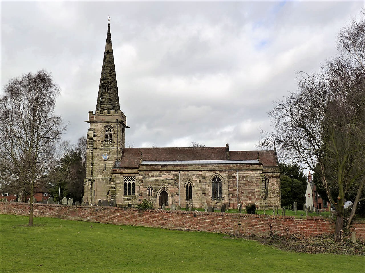
St Mary's Church, Rolleston on Dove

St Mary's Church is a parish church of the Church of England in Rolleston on Dove, Staffordshire. Parts of the structure date to 1130, though it was extensively...

The de Ferrers Academy

The de Ferrers Academy (formerly De Ferrers Specialist Technology College) is a secondary school with academy status located in Burton upon Trent, Staffordshire...

Rolleston-on-Dove railway station

Rolleston-on-Dove railway station is a disused railway station built to serve Rolleston on Dove in Staffordshire. == History == The station was opened...

Tutbury

Tutbury is a village and civil parish in Staffordshire, England. It is 4 miles (6.4 km) north of Burton upon Trent and 20 miles (32 km) south of the Peak...

Jinnie Trail

The Jinnie Nature Trail is a conservation area stretching along a narrow man-made valley between the villages of Rolleston on Dove and Stretton. It was...

St Mary's Church, Marston on Dove

St Mary's Church, Marston on Dove is a Grade I listed parish church in the Church of England in Marston on Dove, Derbyshire. == History == The church dates...

Nearby Amenities

Located within 500m of 52.843855,-1.6600234
Post Box
Fixme: check position, was in junction
Operator: Royal Mail
Ref: DE13 1242
Lat/Long: 52.8447382/-1.6538677
Barrier: stile
Lat/Long: 52.8408777/-1.6582284
Barrier: stile
Lat/Long: 52.8400093/-1.6598806
Traffic Calming: cushion
Lat/Long: 52.8472095/-1.6551396
Traffic Calming: cushion
Lat/Long: 52.8477309/-1.6563495
The data included in this document is from www.openstreetmap.org. The data is made available under ODbL.

Have you been to The Lawn?

Leave your review of The Lawn below (or comments, questions and feedback).