Bingley Plantation
Wood, Forest in Yorkshire
England
Bingley Plantation
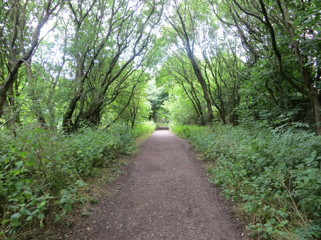
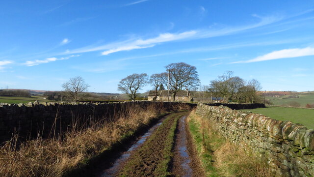
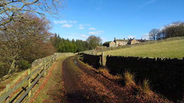
Bingley Plantation is a picturesque woodland located in the county of Yorkshire, England. Nestled within the heart of the region, this enchanting forest spans across a sprawling area, captivating visitors with its natural beauty and rich history.
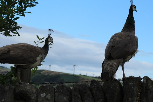
The plantation is renowned for its diverse range of tree species, including towering oaks, majestic beeches, and graceful birches. These trees create a dense canopy, allowing only slivers of sunlight to filter through, creating a tranquil and serene atmosphere. The forest floor is blanketed with a lush carpet of moss and ferns, offering a haven for various wildlife species.
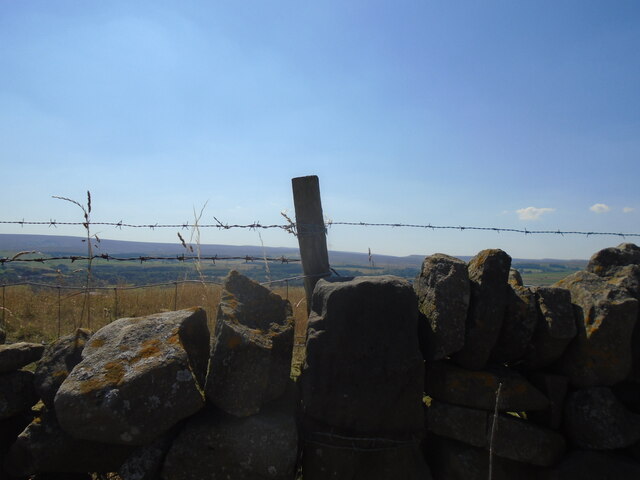
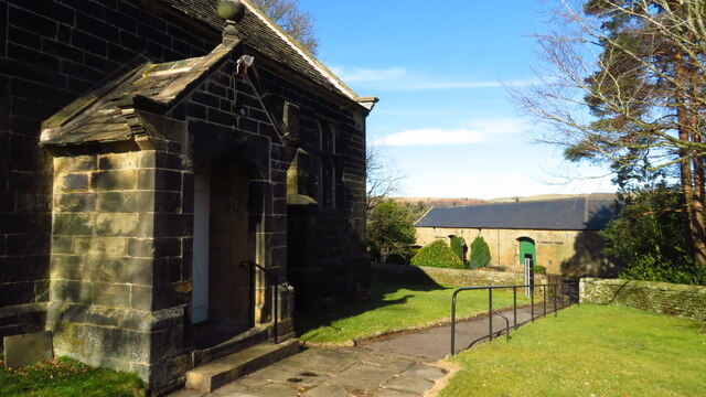
Bingley Plantation is not only a haven for nature enthusiasts but also a site of historical significance. The ancient ruins of a medieval castle can be found within the woodland, serving as a reminder of the area's past. Visitors can explore the remnants of the castle, marveling at its architectural features and imagining the stories that unfolded within its walls centuries ago.
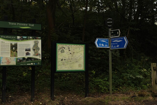
The forest offers a range of activities for visitors to enjoy. Well-maintained walking trails meander through the woodland, providing opportunities for leisurely strolls and invigorating hikes. Nature lovers can spot a plethora of wildlife, from squirrels and rabbits to a variety of bird species. Bingley Plantation also offers designated picnic areas, allowing visitors to soak in the beauty of their surroundings while enjoying a meal in the great outdoors.
With its breathtaking scenery and historical charm, Bingley Plantation is a must-visit destination for those seeking a tranquil escape in the heart of Yorkshire. Whether it's a leisurely walk, a picnic, or a journey back in time, this enchanting woodland has something to offer for everyone.
If you have any feedback on the listing, please let us know in the comments section below.
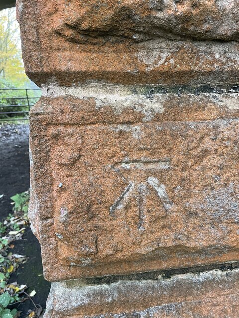
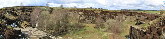
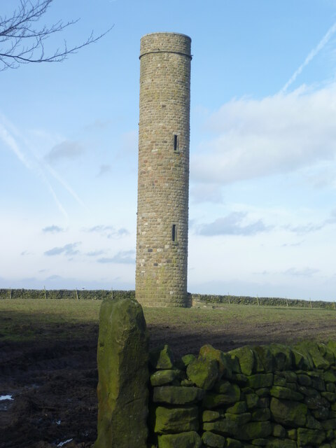
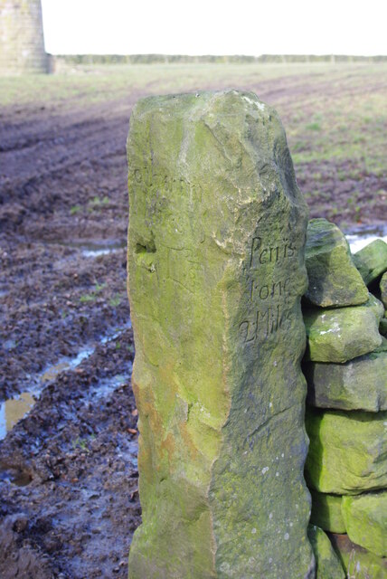
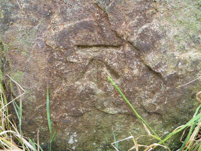
Bingley Plantation Images
Images are sourced within 2km of 53.518399/-1.665254 or Grid Reference SE2202. Thanks to Geograph Open Source API. All images are credited.


Bingley Plantation is located at Grid Ref: SE2202 (Lat: 53.518399, Lng: -1.665254)
Division: West Riding
Unitary Authority: Barnsley
Police Authority: South Yorkshire
What 3 Words
///reservoir.text.photocopy. Near Penistone, South Yorkshire
Nearby Locations
Related Wikis

Hartcliff Folly
The Hartcliff Folly (or Tower) is a stone structure 1.2 miles (2 km) south-west of Penistone in South Yorkshire, England. The folly was built in 1856 by...

Millhouse Green
Millhouse Green is a village on the north banks of the River Don on the A628 road west of Penistone in the English county of South Yorkshire. Administratively...
Cubley, South Yorkshire
Cubley is a village in the metropolitan borough of Barnsley in South Yorkshire, England. It is about a mile to the south of Penistone town centre and essentially...

Langsett
Langsett is a village and civil parish near Penistone in South Yorkshire. It lies near the southern edge of the Metropolitan Borough of Barnsley and on...

Catshaw
Catshaw is a hamlet in the western parts of Penistone, in the Barnsley district, in the county of South Yorkshire, England. It lies about 0.9 miles (1...

Penistone Rural District
Penistone Rural District was a rural district in the West Riding of Yorkshire. It was named after but did not contain Penistone. The town itself was contained...

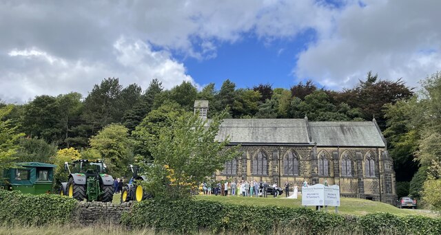
Saint John the Baptist Church, Penistone
Saint John the Baptist Church, Penistone Parish Church, or Penistone Church is a Church of England church in the Parish of Penistone, near Barnsley, in...

Penistone Grammar School
Penistone Grammar School (PGS) is a co-educational secondary school and sixth form located in Penistone, South Yorkshire, England.Founded in 1392, it is...
Nearby Amenities
Located within 500m of 53.518399,-1.665254Have you been to Bingley Plantation?
Leave your review of Bingley Plantation below (or comments, questions and feedback).