Hill Side
Settlement in Yorkshire
England
Hill Side
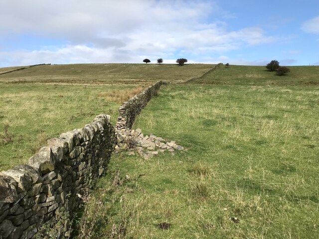
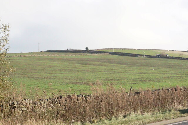
Hill Side is a picturesque village located in the heart of Yorkshire, England. Nestled amidst rolling green hills and surrounded by a tranquil countryside, it offers a serene and idyllic setting for both residents and visitors alike.
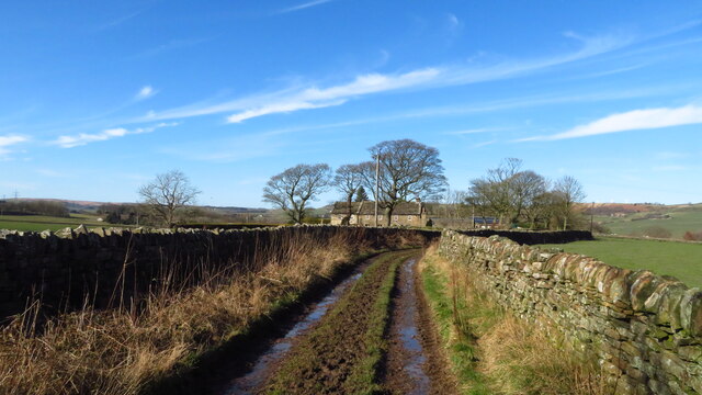
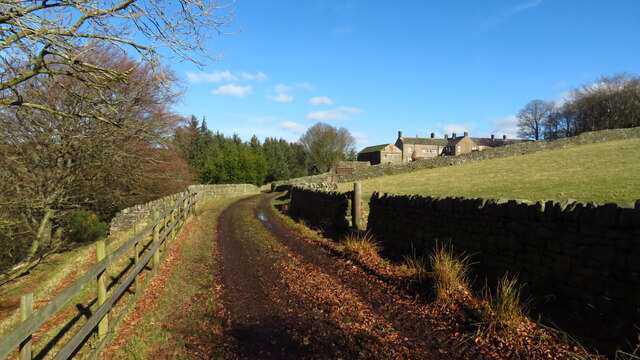
The village is known for its charming and traditional architecture, with quaint stone cottages lining the narrow, winding streets. The well-preserved buildings give Hill Side a timeless appeal, evoking a sense of history and character.
The community in Hill Side is close-knit, with a population of around 500 residents. The village exudes a warm and friendly atmosphere, where neighbors know each other, and visitors are always welcomed with open arms. Despite its small size, Hill Side boasts a range of amenities, including a local pub, a village hall, and a small convenience store, ensuring that its inhabitants have their daily needs met.
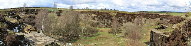
Surrounded by natural beauty, Hill Side offers numerous outdoor recreational opportunities. The village is situated near several picturesque walking trails, providing stunning vistas of the surrounding countryside. Additionally, the nearby River Aire offers a serene spot for fishing and boating enthusiasts.
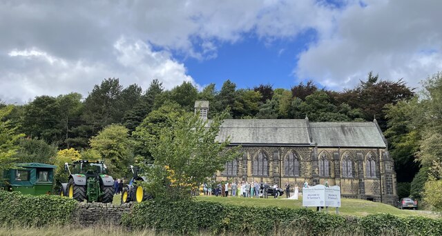
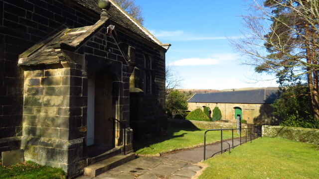
For history buffs, Hill Side is home to a historic church that dates back several centuries. The church's stunning architecture and peaceful atmosphere make it a popular spot for visitors to explore and reflect.
Hill Side truly captures the essence of rural Yorkshire, with its stunning landscapes, charming architecture, and strong sense of community. It is a place where one can escape the hustle and bustle of city life and immerse themselves in the beauty and tranquility of the English countryside.
If you have any feedback on the listing, please let us know in the comments section below.
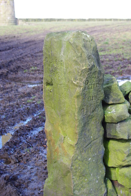
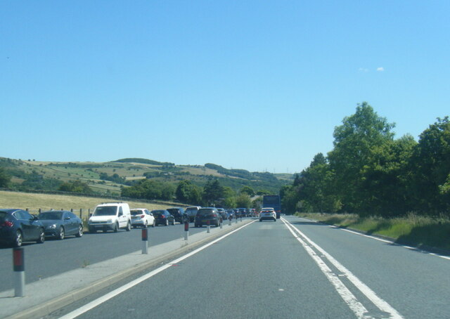
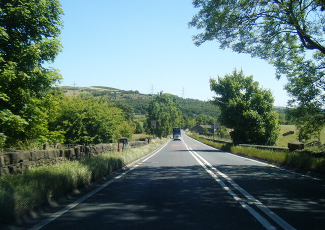
Hill Side Images
Images are sourced within 2km of 53.514223/-1.6697054 or Grid Reference SE2202. Thanks to Geograph Open Source API. All images are credited.


Hill Side is located at Grid Ref: SE2202 (Lat: 53.514223, Lng: -1.6697054)
Division: West Riding
Unitary Authority: Barnsley
Police Authority: South Yorkshire
What 3 Words
///bunk.unearthly.wand. Near Penistone, South Yorkshire
Nearby Locations
Related Wikis

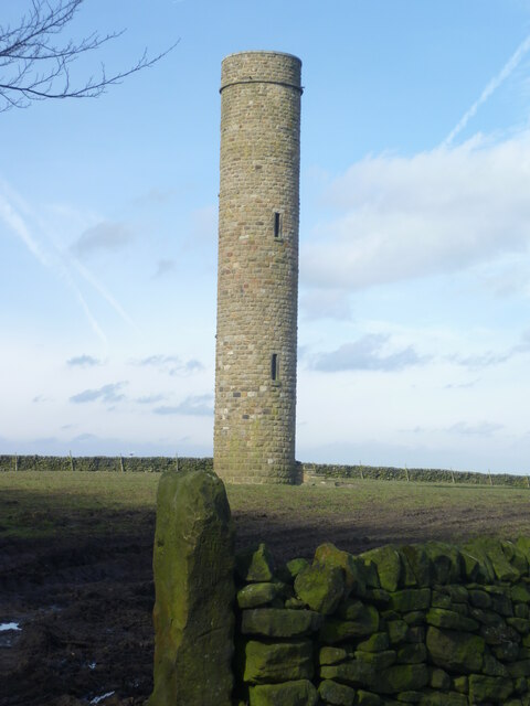
Hartcliff Folly
The Hartcliff Folly (or Tower) is a stone structure 1.2 miles (2 km) south-west of Penistone in South Yorkshire, England. The folly was built in 1856 by...

Millhouse Green
Millhouse Green is a village on the north banks of the River Don on the A628 road west of Penistone in the English county of South Yorkshire. Administratively...

Langsett
Langsett is a village and civil parish near Penistone in South Yorkshire. It lies near the southern edge of the Metropolitan Borough of Barnsley and on...

Langsett Reservoir
Langsett Reservoir is in Yorkshire, England, near the villages of Langsett and Upper Midhope, on the edge of the Peak District National Park. The reservoir...
Nearby Amenities
Located within 500m of 53.514223,-1.6697054Have you been to Hill Side?
Leave your review of Hill Side below (or comments, questions and feedback).