Appleyard Wood
Wood, Forest in Yorkshire
England
Appleyard Wood
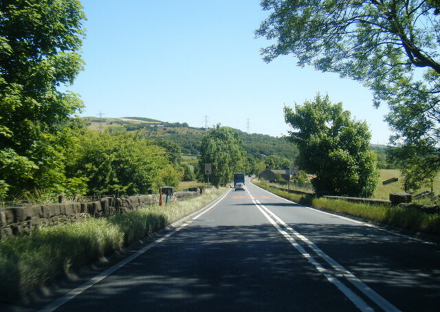
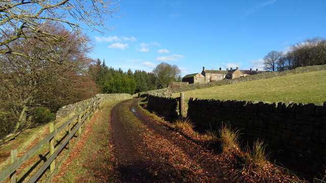
Appleyard Wood is a picturesque forest located in the county of Yorkshire, England. Spanning an area of approximately 100 acres, this woodland is renowned for its natural beauty and diverse flora and fauna.
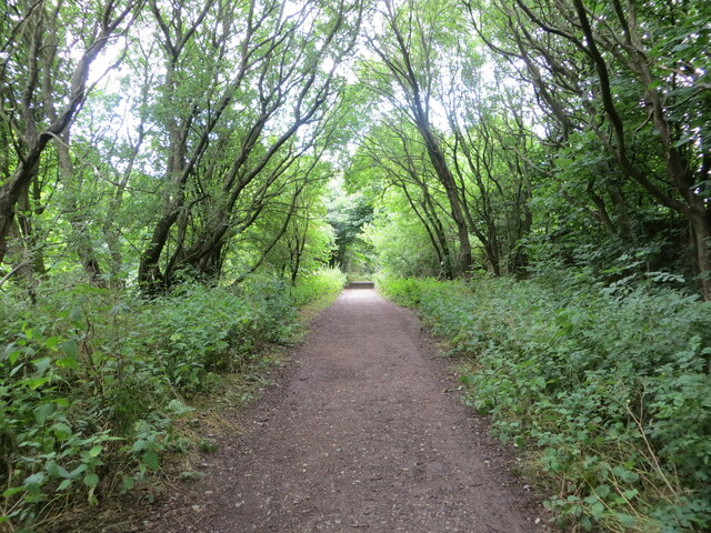
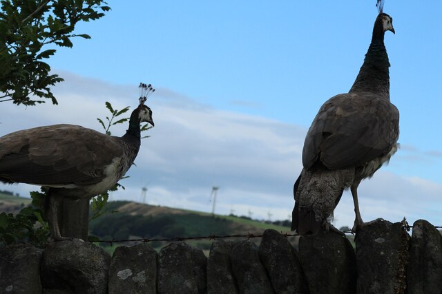
The wood is characterized by its dense canopy of ancient oak, beech, and birch trees, which provide shade and create a tranquil atmosphere. These towering trees also offer a habitat for a variety of wildlife, including deer, badgers, and a wide array of bird species, making it a popular spot for nature enthusiasts and birdwatchers.
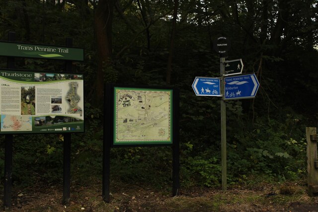
The forest floor is adorned with a rich carpet of wildflowers during the spring and summer months. Bluebells, primroses, and wood anemones create a vibrant display of colors, attracting visitors from far and wide. In addition to the floral beauty, there are numerous walking trails that wind their way through the forest, allowing visitors to explore the wood at their own pace.
Appleyard Wood is also home to a small stream that meanders through its heart, adding to the idyllic atmosphere and providing a source of water for the wildlife that inhabit the area. The sound of running water combined with the chirping of birds creates a soothing ambiance, perfect for those seeking a peaceful escape from the hustle and bustle of everyday life.
Overall, Appleyard Wood offers a serene and enchanting experience for nature lovers, providing an opportunity to immerse oneself in the beauty of Yorkshire's natural landscapes.
If you have any feedback on the listing, please let us know in the comments section below.
Appleyard Wood Images
Images are sourced within 2km of 53.518122/-1.6689059 or Grid Reference SE2202. Thanks to Geograph Open Source API. All images are credited.


Appleyard Wood is located at Grid Ref: SE2202 (Lat: 53.518122, Lng: -1.6689059)
Division: West Riding
Unitary Authority: Barnsley
Police Authority: South Yorkshire
What 3 Words
///songbook.palettes.misted. Near Penistone, South Yorkshire
Nearby Locations
Related Wikis

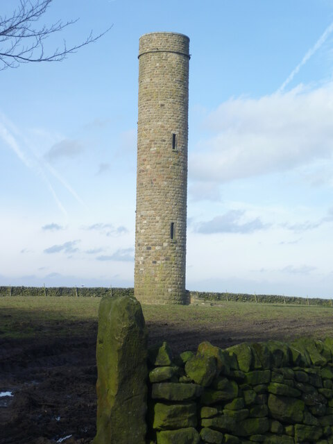
Hartcliff Folly
The Hartcliff Folly (or Tower) is a stone structure 1.2 miles (2 km) south-west of Penistone in South Yorkshire, England. The folly was built in 1856 by...

Millhouse Green
Millhouse Green is a village on the north banks of the River Don on the A628 road west of Penistone in the English county of South Yorkshire. Administratively...

Catshaw
Catshaw is a hamlet in the western parts of Penistone, in the Barnsley district, in the county of South Yorkshire, England. It lies about 0.9 miles (1...

Langsett
Langsett is a village and civil parish near Penistone in South Yorkshire. It lies near the southern edge of the Metropolitan Borough of Barnsley and on...
Nearby Amenities
Located within 500m of 53.518122,-1.6689059Have you been to Appleyard Wood?
Leave your review of Appleyard Wood below (or comments, questions and feedback).