Chalkpit Hill Plantation

Wood, Forest in Wiltshire

England

Chalkpit Hill Plantation

Sidbury Hill, Wiltshire Common spotted orchids on the western defensive slopes of Sidbury Hillfort.
Sidbury Hill, Wiltshire Credit: Rebecca A Wills

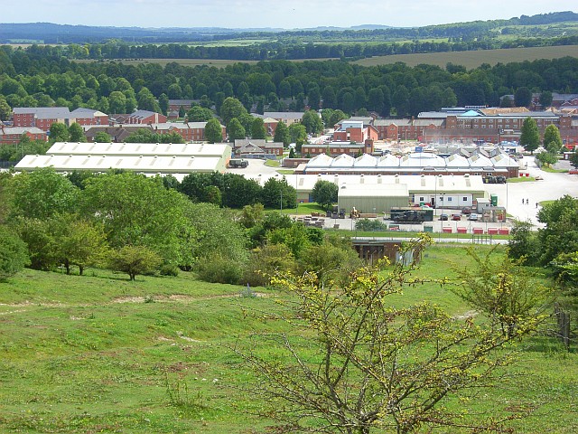
Chalkpit Hill Plantation is a woodland located in the county of Wiltshire, England. Situated near the village of Westbury, it covers an area of approximately 100 hectares (247 acres). The plantation is primarily composed of a mix of broadleaf and coniferous trees, making it an important habitat for a diverse range of flora and fauna.

The woodland features a variety of tree species, including oak, beech, birch, and pine. These trees provide a rich environment for a wide array of wildlife, such as deer, badgers, foxes, and various bird species. The plantation is particularly renowned for its birdlife, with sightings of woodpeckers, nightingales, and tawny owls being common.

Chalkpit Hill Plantation offers several walking trails, allowing visitors to explore its natural beauty. These paths wind through the woodland, providing opportunities for nature enthusiasts to observe the native wildlife and admire the picturesque surroundings. Additionally, the plantation offers a peaceful setting for recreational activities such as picnicking and photography.

The woodland also plays a significant role in the local ecosystem by acting as a carbon sink, absorbing and storing carbon dioxide from the atmosphere. This contributes to the fight against climate change and helps maintain air quality in the surrounding area.

Chalkpit Hill Plantation is a cherished natural resource in Wiltshire, providing a haven for wildlife and offering a tranquil escape for visitors seeking to immerse themselves in the beauty of nature.

If you have any feedback on the listing, please let us know in the comments section below.

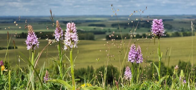
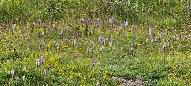
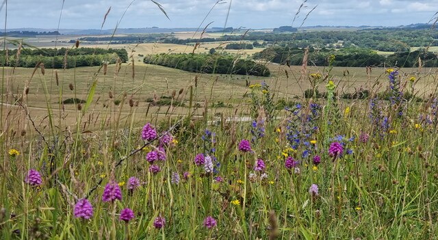
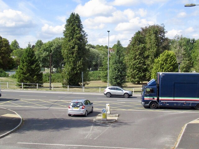
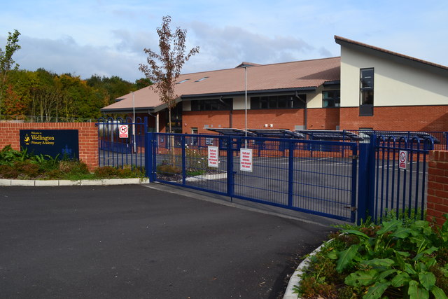
Chalkpit Hill Plantation Images

Images are sourced within 2km of 51.245556/-1.6820157 or Grid Reference SU2249. Thanks to Geograph Open Source API. All images are credited.

Sidbury Hill, Wiltshire Common spotted orchids on the western defensive slopes of Sidbury Hillfort.
Sidbury Hill, Wiltshire
Common spotted orchids on the western defensive slopes of Sidbury Hillfort.
Sidbury Hillfort Common Spotted and Pyramidal Orchids on the defensive ditches of Sidbury Hillfort.
Sidbury Hillfort
Common Spotted and Pyramidal Orchids on the defensive ditches of Sidbury Hillfort.
Sidbury Hillfort Common Spotted and Pyramidal Orchids on the western defensive ditches of Sidbury Hillfort.
Sidbury Hillfort
Common Spotted and Pyramidal Orchids on the western defensive ditches of Sidbury Hillfort.
Haxton Down, Wiltshire Tank tracks on Haxton Down, an area within the MoD Salisbury Plain Training Area.
Haxton Down, Wiltshire
Tank tracks on Haxton Down, an area within the MoD Salisbury Plain Training Area.
A338, Tidworth View from the Lidl carpark.
A338, Tidworth
View from the Lidl carpark.
Alley, Tidworth By Lidl supermarket.
Alley, Tidworth
By Lidl supermarket.
Beech Hill Road, Tidworth Beech Hill Road is a road between Tidworth Road and Hawthorn Road in Tidworth. It also connects to Cherry Tree Avenue.
Beech Hill Road, Tidworth
Beech Hill Road is a road between Tidworth Road and Hawthorn Road in Tidworth. It also connects to Cherry Tree Avenue.
Beech Hill Road, Tidworth Beech Hill Road is a road between Tidworth Road and Hawthorn Road in Tidworth. It also connects to Cherry Tree Avenue.
Beech Hill Road, Tidworth
Beech Hill Road is a road between Tidworth Road and Hawthorn Road in Tidworth. It also connects to Cherry Tree Avenue.
Wellington Primary Academy, Tidworth
New link road under construction north of new housing at Tidworth
Field at South Tidworth
Station Road, Tidworth
Autumn leaves beside Kennet Road
Tidworth railway station (site), Wiltshire, 2018 Opened in 1902 as the terminus of what became the Midland & South Western Joint Railway (MSWJ) branch from Ludgershall, this station closed in 1955.
View north from the former buffers, the single platform having been to the left of the line. After closure, the station was demolished and replaced by a parade of shops - itself later demolished. The site was still vacant when this image was taken but by 2023 had become a builders merchants.
Tidworth railway station (site), Wiltshire, 2018
Opened in 1902 as the terminus of what became the Midland & South Western Joint Railway (MSWJ) branch from Ludgershall, this station closed in 1955. View north from the former buffers, the single platform having been to the left of the line. After closure, the station was demolished and replaced by a parade of shops - itself later demolished. The site was still vacant when this image was taken but by 2023 had become a builders merchants.
A338 through Tidworth A largely military town.
A338 through Tidworth
A largely military town.
Tidworth Station Road The main shopping street, traffic calmed with a 20 limit. The station was at the end of a short branch from Ludgershall, it closed to passengers in 1955.
Tidworth Station Road
The main shopping street, traffic calmed with a 20 limit. The station was at the end of a short branch from Ludgershall, it closed to passengers in 1955.
Old Milestone by Old Marlborough Road on Figheldean Down Salisbury Roman stone by the bridleway, in parish of Figheldean (Salisbury District), Figheldean Down; opposite fenced off tumuli, 12m from road and marked by 4 wooden posts.

Inscription reads:-
To
Salisbury
XIII Miles
To
Marlbro
XIV

Wiltshire and Swindon HER.
HER Number: MWI17707 <span class="nowrap"><a title="https://www.heritagegateway.org.uk/Gateway/Results_Single.aspx?uid=MWI17707&resourceID=1047" rel="nofollow ugc noopener" href="https://www.heritagegateway.org.uk/Gateway/Results_Single.aspx?uid=MWI17707&resourceID=1047">Link</a><img style="margin-left:2px;" alt="External link" title="External link - shift click to open in new window" src="https://s1.geograph.org.uk/img/external.png" width="10" height="10"/></span>

Surveyed but may be destroyed by tank Nov 2014

Milestone Society National ID: WI_MLSA14
Old Milestone by Old Marlborough Road on Figheldean Down
Salisbury Roman stone by the bridleway, in parish of Figheldean (Salisbury District), Figheldean Down; opposite fenced off tumuli, 12m from road and marked by 4 wooden posts. Inscription reads:- To Salisbury XIII Miles To Marlbro XIV Wiltshire and Swindon HER. HER Number: MWI17707 LinkExternal link Surveyed but may be destroyed by tank Nov 2014 Milestone Society National ID: WI_MLSA14
Woodland, Tidworth A copse of beeches to the south-east of Sidbury Hill.
Woodland, Tidworth
A copse of beeches to the south-east of Sidbury Hill.
Show me another place!

Chalkpit Hill Plantation is located at Grid Ref: SU2249 (Lat: 51.245556, Lng: -1.6820157)

Unitary Authority: Wiltshire

Police Authority: Wiltshire

What 3 Words

///pairings.lighters.lunges. Near Tidworth, Wiltshire

Related Wikis

Sidbury Hill

Sidbury Hill, or Sidbury Camp, is the site of an Iron Age bivallate hillfort on the eastern edge of Salisbury Plain in Wiltshire, England. The site is...

The Wellington Academy

The Wellington Academy, founded in 2009, is an 11–19 non-selective state-funded school near Ludgershall, Wiltshire, England. The school has academy status...

Tidworth

Tidworth is a garrison town and civil parish in south-east Wiltshire, England, on the eastern edge of Salisbury Plain. Lying on both sides of the A338...

Tidworth Camp

Tidworth Camp is a military installation at Tidworth in Wiltshire, England. It forms part of the Tidworth, Netheravon and Bulford (TidNBul) Garrison....

Have you been to Chalkpit Hill Plantation?

Leave your review of Chalkpit Hill Plantation below (or comments, questions and feedback).