Chalkpit Hill

Hill, Mountain in Wiltshire

England

Chalkpit Hill

Sidbury Hill, Wiltshire Common spotted orchids on the western defensive slopes of Sidbury Hillfort.
Sidbury Hill, Wiltshire Credit: Rebecca A Wills

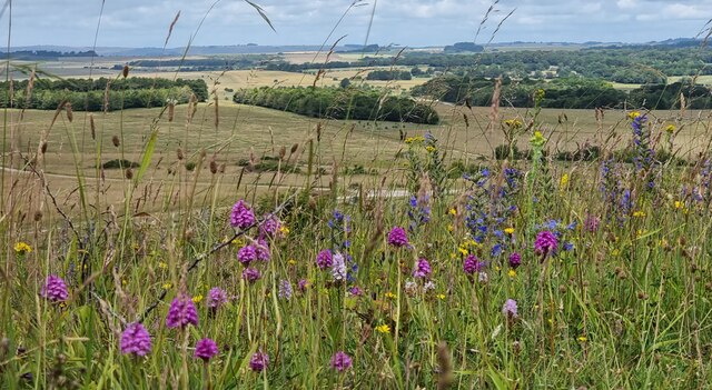
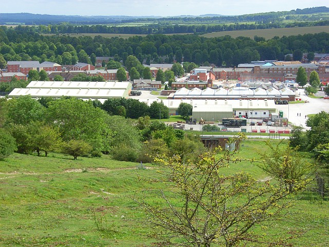
Chalkpit Hill is a prominent landmark located in Wiltshire, England. Situated in the southern part of the county, it is classified as a hill rather than a mountain due to its moderate elevation. The hill rises to an approximate height of 261 meters (856 feet) above sea level, offering breathtaking panoramic views of the surrounding countryside.

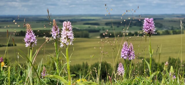
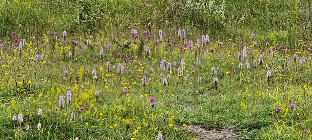
Located near the village of Broad Chalke, Chalkpit Hill is known for its picturesque chalk grassland, which supports a diverse range of flora and fauna. The hill is primarily composed of chalk, a soft and white sedimentary rock that is prevalent in this region. This geological composition contributes to the unique landscape and provides a habitat for a variety of plant species, including orchids, wildflowers, and rare chalk-loving plants.

Chalkpit Hill is a popular destination for nature enthusiasts and hikers who are drawn to its natural beauty and tranquility. Several walking trails crisscross the hill, offering visitors the opportunity to explore its undulating slopes and discover its hidden treasures. The hill is also home to a rich array of wildlife, including butterflies, birds, and small mammals, making it a haven for nature lovers and birdwatchers.

The hill's location within the Cranborne Chase and West Wiltshire Downs Area of Outstanding Natural Beauty further enhances its appeal. This designation recognizes and protects the exceptional landscape and cultural heritage of the area, ensuring that Chalkpit Hill remains an idyllic spot for generations to come.

In conclusion, Chalkpit Hill is a captivating natural landmark in Wiltshire, offering stunning views, diverse flora and fauna, and a tranquil environment for visitors to enjoy. Its geological significance and designation as an Area of Outstanding Natural Beauty make it a must-visit destination for anyone seeking to explore the beauty of the English countryside.

If you have any feedback on the listing, please let us know in the comments section below.

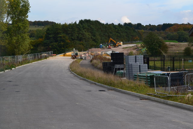
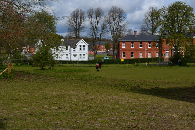
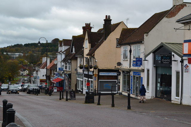
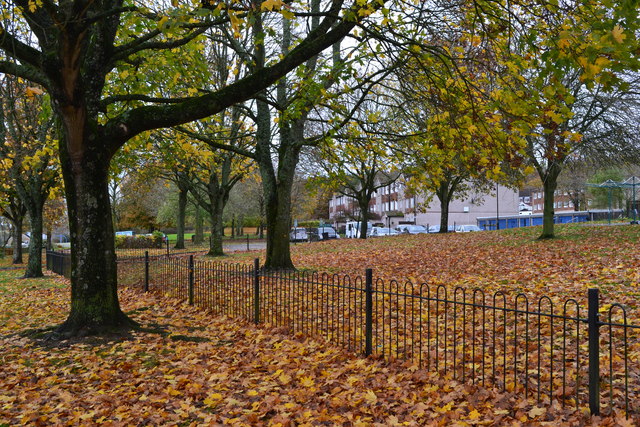
Chalkpit Hill Images

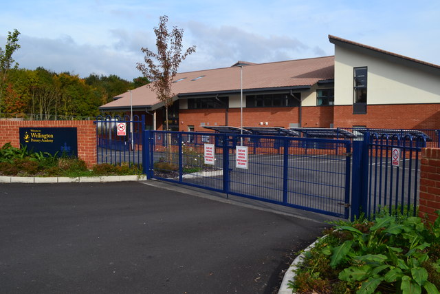
Images are sourced within 2km of 51.244735/-1.6807893 or Grid Reference SU2249. Thanks to Geograph Open Source API. All images are credited.

Sidbury Hill, Wiltshire Common spotted orchids on the western defensive slopes of Sidbury Hillfort.
Sidbury Hill, Wiltshire
Common spotted orchids on the western defensive slopes of Sidbury Hillfort.
Sidbury Hillfort Common Spotted and Pyramidal Orchids on the defensive ditches of Sidbury Hillfort.
Sidbury Hillfort
Common Spotted and Pyramidal Orchids on the defensive ditches of Sidbury Hillfort.
Sidbury Hillfort Common Spotted and Pyramidal Orchids on the western defensive ditches of Sidbury Hillfort.
Sidbury Hillfort
Common Spotted and Pyramidal Orchids on the western defensive ditches of Sidbury Hillfort.
Haxton Down, Wiltshire Tank tracks on Haxton Down, an area within the MoD Salisbury Plain Training Area.
Haxton Down, Wiltshire
Tank tracks on Haxton Down, an area within the MoD Salisbury Plain Training Area.
A338, Tidworth View from the Lidl carpark.
A338, Tidworth
View from the Lidl carpark.
Alley, Tidworth By Lidl supermarket.
Alley, Tidworth
By Lidl supermarket.
Beech Hill Road, Tidworth Beech Hill Road is a road between Tidworth Road and Hawthorn Road in Tidworth. It also connects to Cherry Tree Avenue.
Beech Hill Road, Tidworth
Beech Hill Road is a road between Tidworth Road and Hawthorn Road in Tidworth. It also connects to Cherry Tree Avenue.
Beech Hill Road, Tidworth Beech Hill Road is a road between Tidworth Road and Hawthorn Road in Tidworth. It also connects to Cherry Tree Avenue.
Beech Hill Road, Tidworth
Beech Hill Road is a road between Tidworth Road and Hawthorn Road in Tidworth. It also connects to Cherry Tree Avenue.
Wellington Primary Academy, Tidworth
New link road under construction north of new housing at Tidworth
Field at South Tidworth
Station Road, Tidworth
Autumn leaves beside Kennet Road
Tidworth, Station Road 2006 View west; the station had been down on the left. It was the terminus of the Midland & South Western Joint (MSWJ) branch from Ludgershall, closed to passengers 9/55, to goods 11/55. No traces were seen this day.
Tidworth, Station Road 2006
View west; the station had been down on the left. It was the terminus of the Midland & South Western Joint (MSWJ) branch from Ludgershall, closed to passengers 9/55, to goods 11/55. No traces were seen this day.
Tidworth railway station (site), Wiltshire, 2018 Opened in 1902 as the terminus of what became the Midland & South Western Joint Railway (MSWJ) branch from Ludgershall, this station closed in 1955.
View north from the former buffers, the single platform having been to the left of the line. After closure, the station was demolished and replaced by a parade of shops - itself later demolished. The site was still vacant when this image was taken but by 2023 had become a builders merchants.
Tidworth railway station (site), Wiltshire, 2018
Opened in 1902 as the terminus of what became the Midland & South Western Joint Railway (MSWJ) branch from Ludgershall, this station closed in 1955. View north from the former buffers, the single platform having been to the left of the line. After closure, the station was demolished and replaced by a parade of shops - itself later demolished. The site was still vacant when this image was taken but by 2023 had become a builders merchants.
A338 through Tidworth A largely military town.
A338 through Tidworth
A largely military town.
Tidworth Station Road The main shopping street, traffic calmed with a 20 limit. The station was at the end of a short branch from Ludgershall, it closed to passengers in 1955.
Tidworth Station Road
The main shopping street, traffic calmed with a 20 limit. The station was at the end of a short branch from Ludgershall, it closed to passengers in 1955.
Woodland, Tidworth A copse of beeches to the south-east of Sidbury Hill.
Woodland, Tidworth
A copse of beeches to the south-east of Sidbury Hill.
Show me another place!

Chalkpit Hill is located at Grid Ref: SU2249 (Lat: 51.244735, Lng: -1.6807893)

Unitary Authority: Wiltshire

Police Authority: Wiltshire

What 3 Words

///hammer.fruits.treatable. Near Tidworth, Wiltshire

Related Wikis

Sidbury Hill

Sidbury Hill, or Sidbury Camp, is the site of an Iron Age bivallate hillfort on the eastern edge of Salisbury Plain in Wiltshire, England. The site is...

The Wellington Academy

The Wellington Academy, founded in 2009, is an 11–19 non-selective state-funded school near Ludgershall, Wiltshire, England. The school has academy status...

Tidworth

Tidworth is a garrison town and civil parish in south-east Wiltshire, England, on the eastern edge of Salisbury Plain. Lying on both sides of the A338...

Tidworth Camp

Tidworth Camp is a military installation at Tidworth in Wiltshire, England. It forms part of the Tidworth, Netheravon and Bulford (TidNBul) Garrison....

Have you been to Chalkpit Hill?

Leave your review of Chalkpit Hill below (or comments, questions and feedback).