Armitage Bridge
Settlement in Yorkshire
England
Armitage Bridge
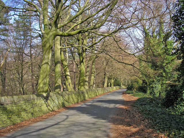
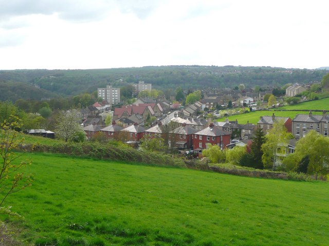
Armitage Bridge is a small village located in West Yorkshire, England. Situated approximately four miles southeast of Huddersfield, it falls within the metropolitan borough of Kirklees. The village is nestled in the picturesque Holme Valley, surrounded by rolling hills and lush green countryside.
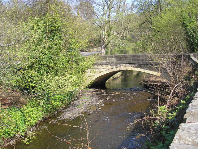
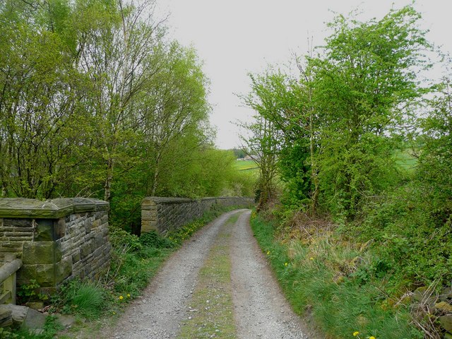
Armitage Bridge has a rich history, with the earliest recorded mention of the village dating back to the 13th century. Its name is derived from the nearby bridge that spans the River Holme, constructed by the Armitage family in the 17th century. The bridge is still standing today and serves as a prominent landmark in the area.
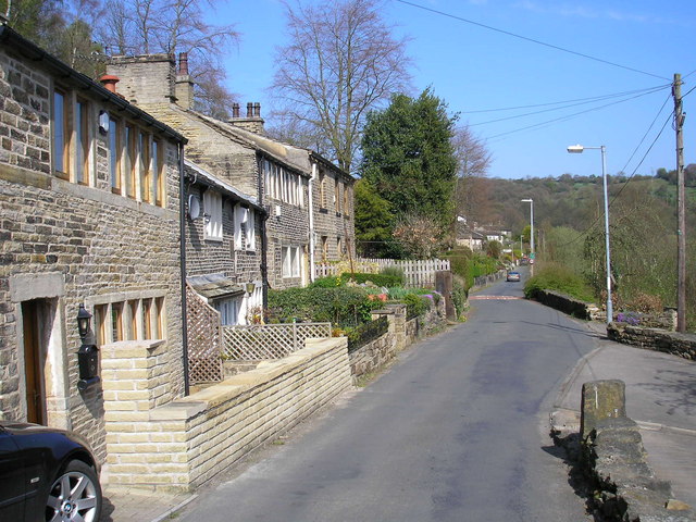
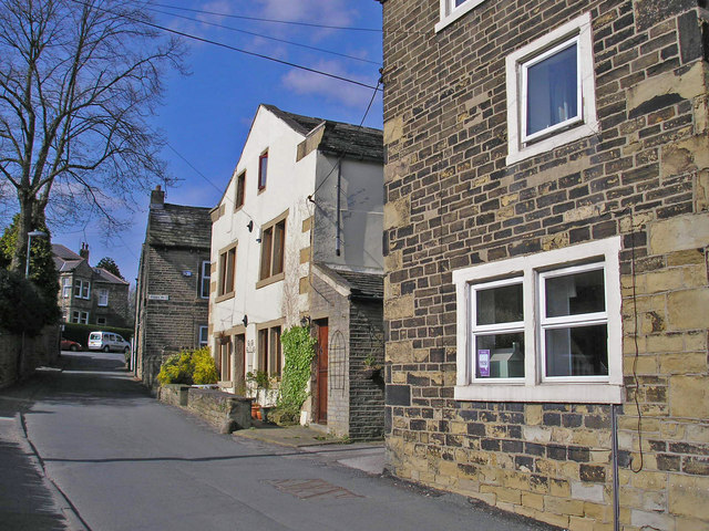
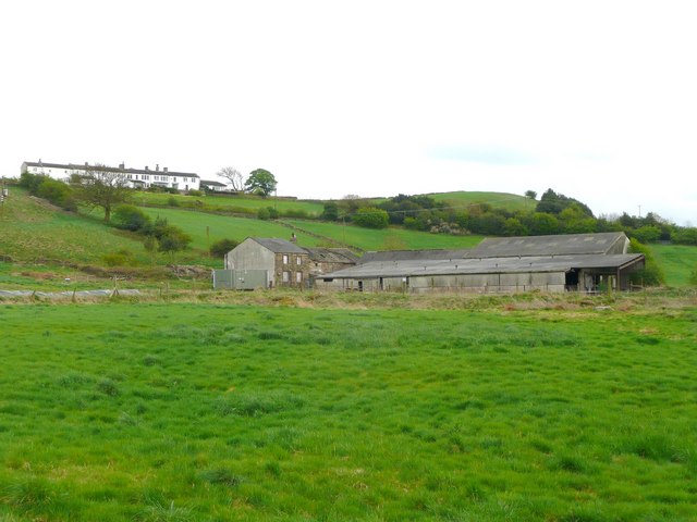
The village is known for its quaint charm and traditional architecture, with several stone-built cottages and farmhouses dotting its streets. Armitage Bridge is also home to the popular Armitage Bridge Cricket Club, founded in 1847, which hosts regular matches during the summer months.
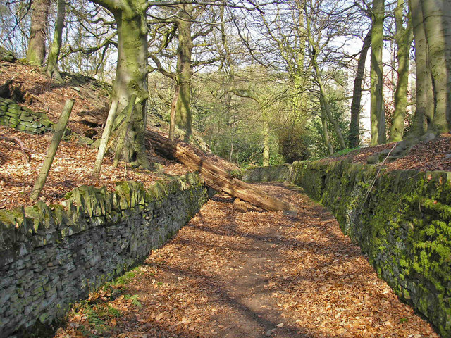
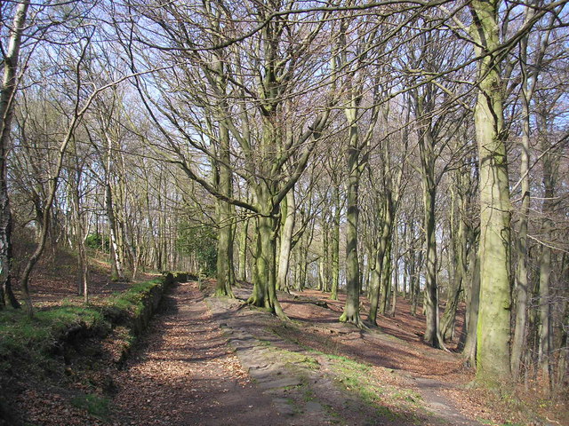
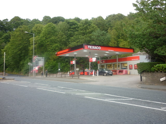
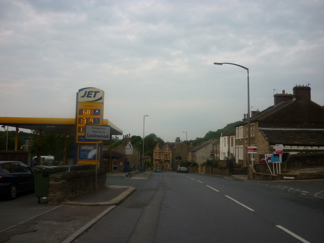
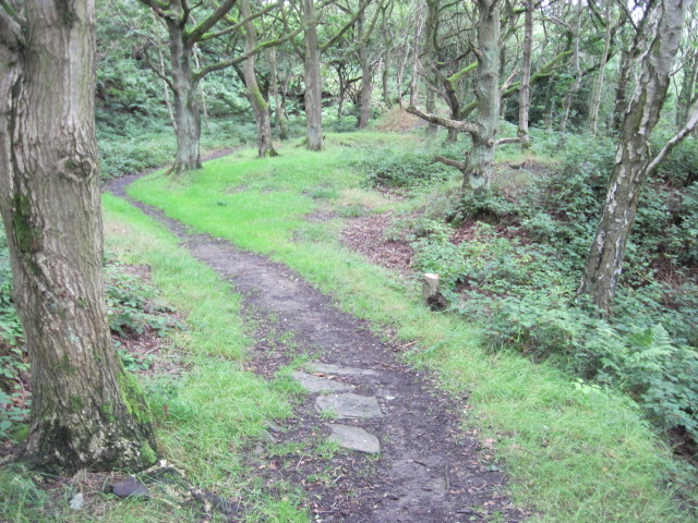
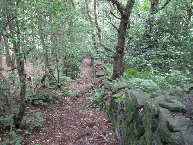
In terms of amenities, the village offers a range of facilities including a primary school, a village hall, and a local pub. Residents and visitors can enjoy scenic walks along the riverbank or explore the nearby countryside, which is part of the Peak District National Park.
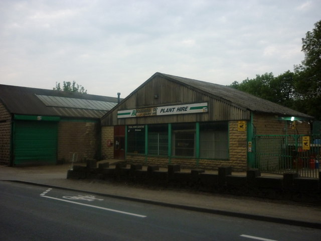
Armitage Bridge benefits from its proximity to Huddersfield, which provides access to a wider range of services, shops, and entertainment options. The village is well-connected by road, with the A616 passing through, allowing for easy commuting to nearby towns and cities.
Overall, Armitage Bridge offers a peaceful and idyllic setting, making it an attractive place for both residents and tourists seeking a taste of rural Yorkshire.
If you have any feedback on the listing, please let us know in the comments section below.
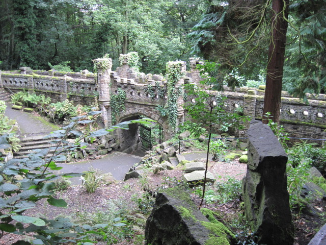
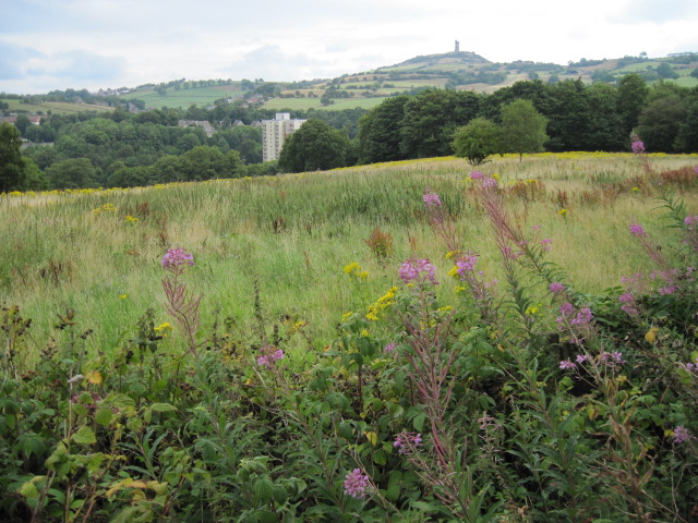
Armitage Bridge Images
Images are sourced within 2km of 53.618324/-1.801927 or Grid Reference SE1313. Thanks to Geograph Open Source API. All images are credited.
Armitage Bridge is located at Grid Ref: SE1313 (Lat: 53.618324, Lng: -1.801927)
Division: West Riding
Unitary Authority: Kirklees
Police Authority: West Yorkshire
What 3 Words
///chose.kings.torn. Near Linthwaite, West Yorkshire
Nearby Locations
Related Wikis

Armitage Bridge
Armitage Bridge is a village approximately 3 miles (4.8 km) south of Huddersfield, in the Holme Valley, West Yorkshire, England. It is situated between...
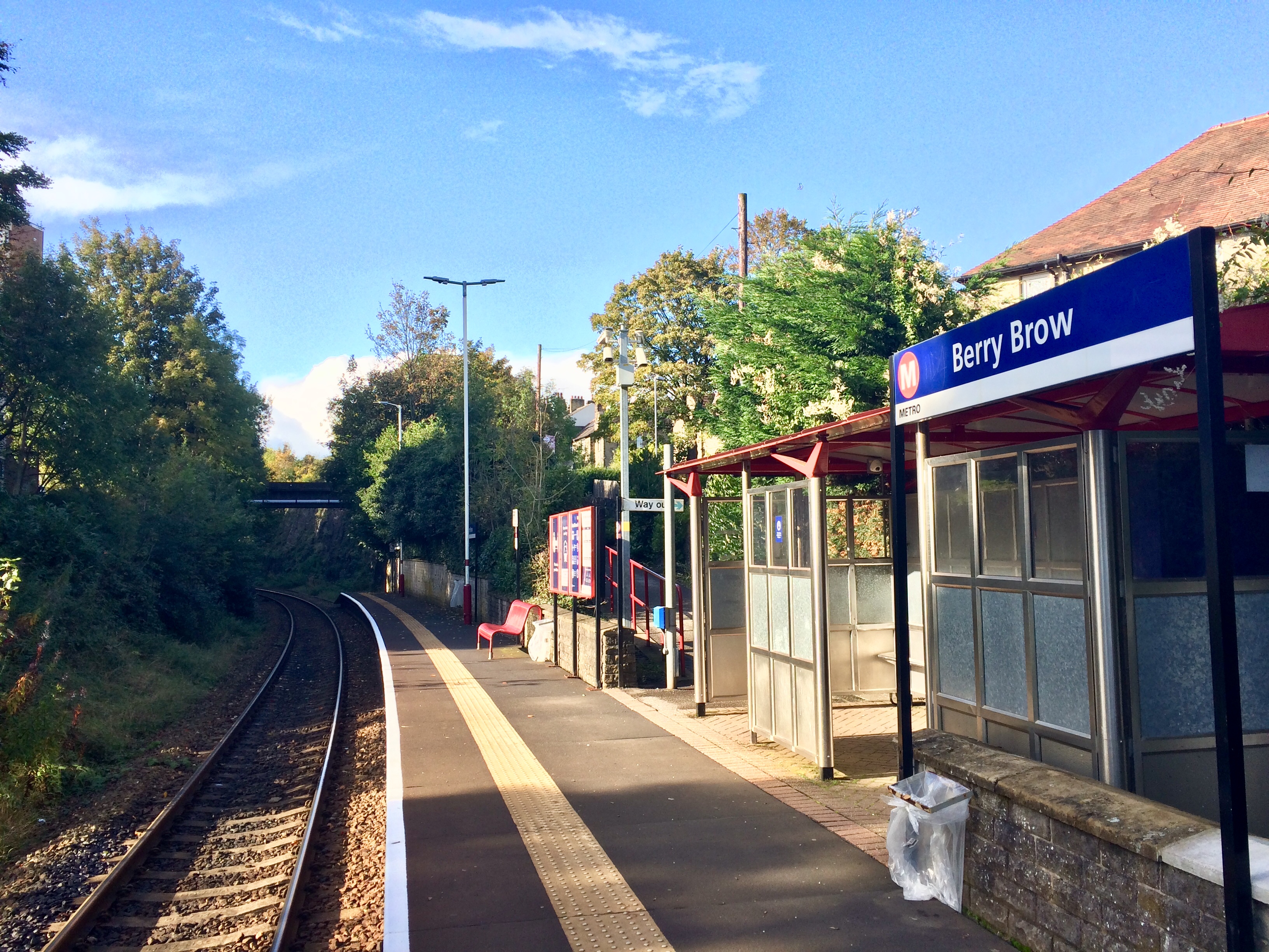
Berry Brow railway station
Berry Brow railway station serves the Huddersfield suburban villages of Berry Brow, Taylor Hill, Armitage Bridge and Newsome in the metropolitan borough...

Newsome Academy
Newsome Academy (formerly Newsome High School and Newsome High School & Sports College) is a co-educational secondary school located in Newsome (near Huddersfield...
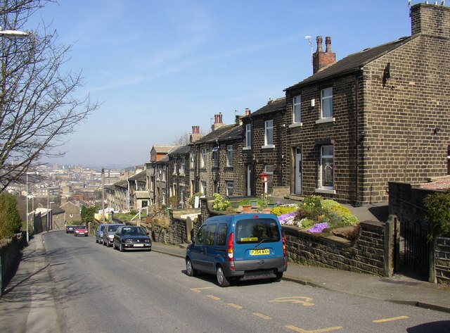
Taylor Hill, Huddersfield
Taylor Hill is a semi rural/industrial urban village of the town of Huddersfield in the English county of West Yorkshire. It lies on a hill above the A616...

Netherton, Kirklees
Netherton is a village, near Huddersfield, in the Kirklees metropolitan borough of West Yorkshire, England. It is 2 miles (3 km) south-west of the town...
Woodfield railway station (Yorkshire)
Woodfield railway station served the area of Lockwood, Kirklees, England, in 1874 on the Meltham branch line. == History == The station was opened on 1...
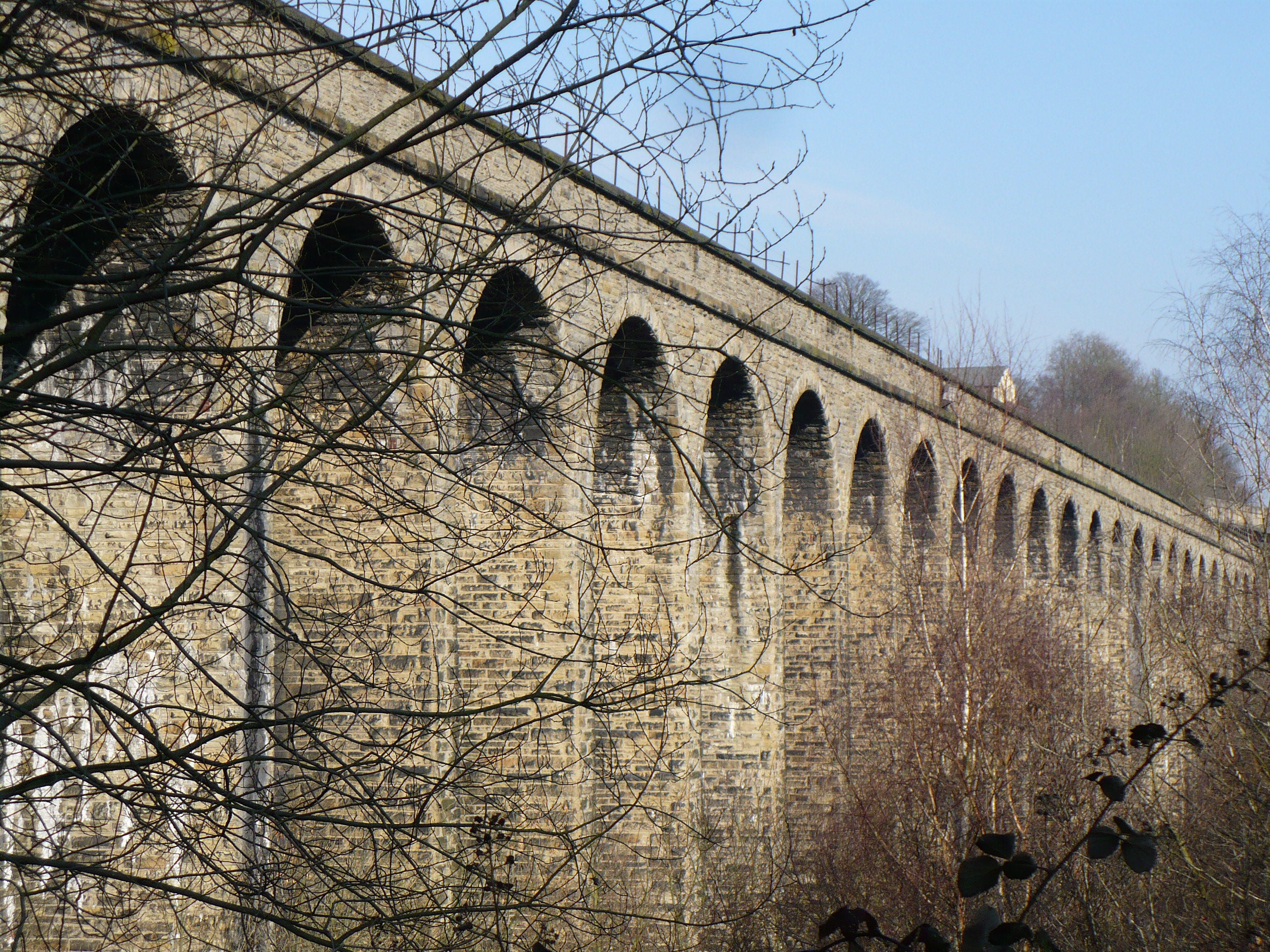
Lockwood Viaduct
Lockwood Viaduct is a stone railway bridge that carries the Huddersfield to Penistone Line across the River Holme, in West Yorkshire, England. The viaduct...
Netherton railway station (Kirklees)
Netherton railway station served the village of Netherton, Kirklees, England, from 1869 to 1949 on the Meltham branch line. == History == The station was...
Nearby Amenities
Located within 500m of 53.618324,-1.801927Have you been to Armitage Bridge?
Leave your review of Armitage Bridge below (or comments, questions and feedback).