Park Wood
Wood, Forest in Yorkshire
England
Park Wood
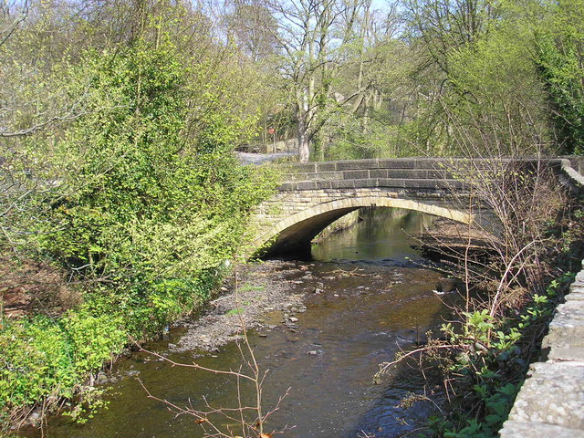
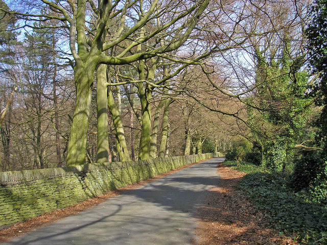
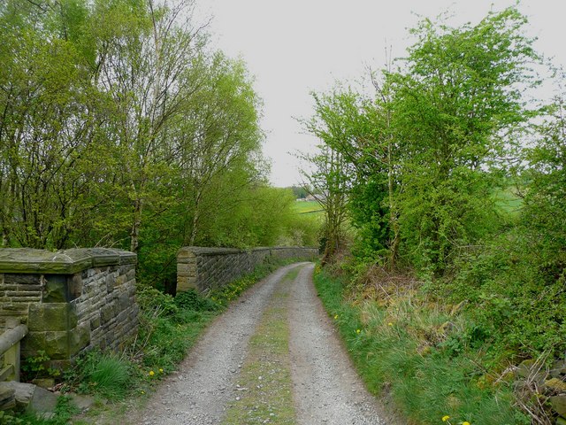
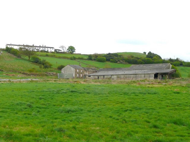
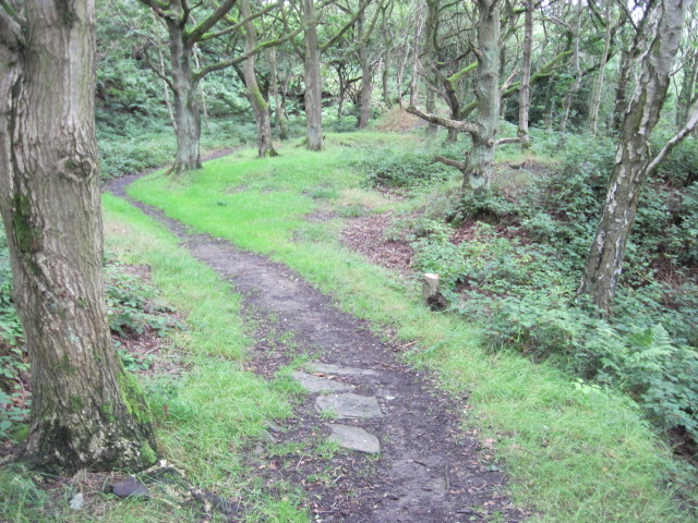
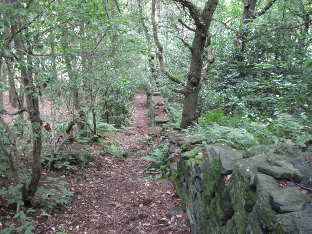
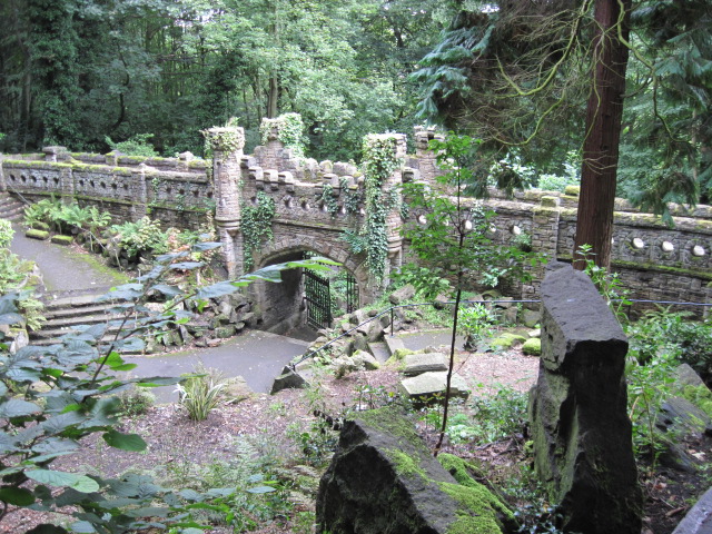
Park Wood is a quaint and picturesque woodland located in the county of Yorkshire, England. Situated near the village of Wood, this forested area spans over an impressive 100 acres, making it a popular destination for nature lovers and outdoor enthusiasts.
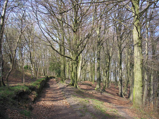
The wood is predominantly made up of deciduous trees, including oak, beech, and birch, which provide a stunning display of colors during the autumn months. These trees not only add to the beauty of Park Wood but also provide a habitat for a diverse range of wildlife, including birds, mammals, and insects.
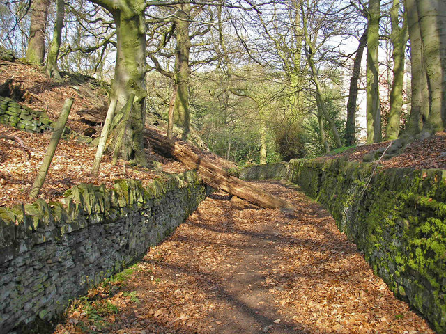
Visitors to Park Wood can enjoy a variety of activities, such as walking, hiking, and cycling. There are well-maintained trails that wind through the woodland, offering breathtaking views and opportunities to spot wildlife. In addition, the wood has designated picnic areas, making it a perfect spot for a family day out.
For those interested in history, Park Wood is also home to several archaeological sites, including Bronze Age burial mounds and ancient pathways. These remnants of the past add an extra layer of interest and intrigue to the wood's natural beauty.
Overall, Park Wood in Yorkshire is a tranquil and enchanting destination that offers a wonderful escape from the hustle and bustle of everyday life. Its stunning scenery, diverse wildlife, and historical significance make it a must-visit location for nature enthusiasts and history buffs alike.
If you have any feedback on the listing, please let us know in the comments section below.
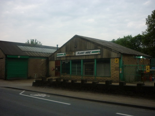
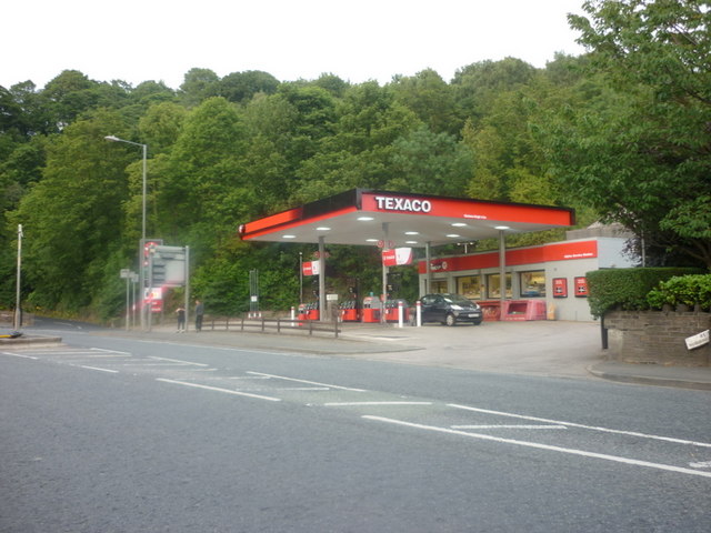
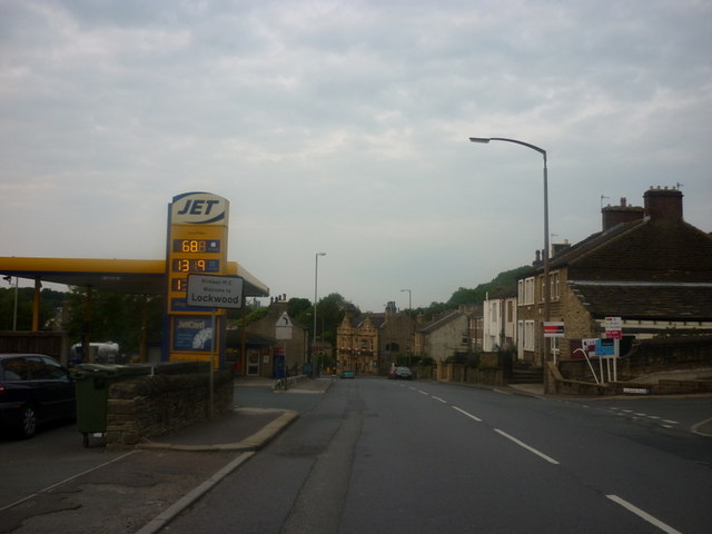
Park Wood Images
Images are sourced within 2km of 53.614701/-1.7929037 or Grid Reference SE1313. Thanks to Geograph Open Source API. All images are credited.
Park Wood is located at Grid Ref: SE1313 (Lat: 53.614701, Lng: -1.7929037)
Division: West Riding
Unitary Authority: Kirklees
Police Authority: West Yorkshire
What 3 Words
///neon.privately.strike. Near Linthwaite, West Yorkshire
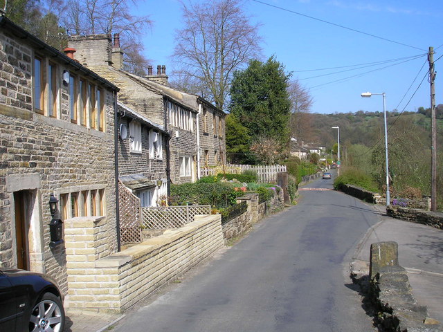
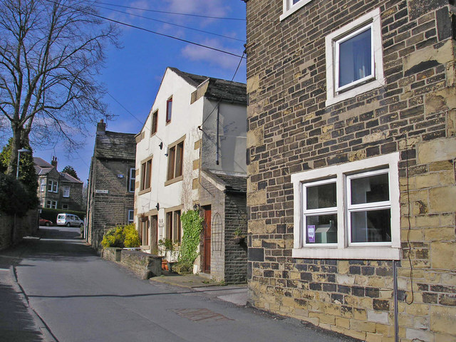
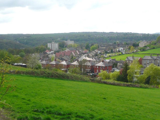
Nearby Locations
Related Wikis

Armitage Bridge
Armitage Bridge is a village approximately 3 miles (4.8 km) south of Huddersfield, in the Holme Valley, West Yorkshire, England. It is situated between...
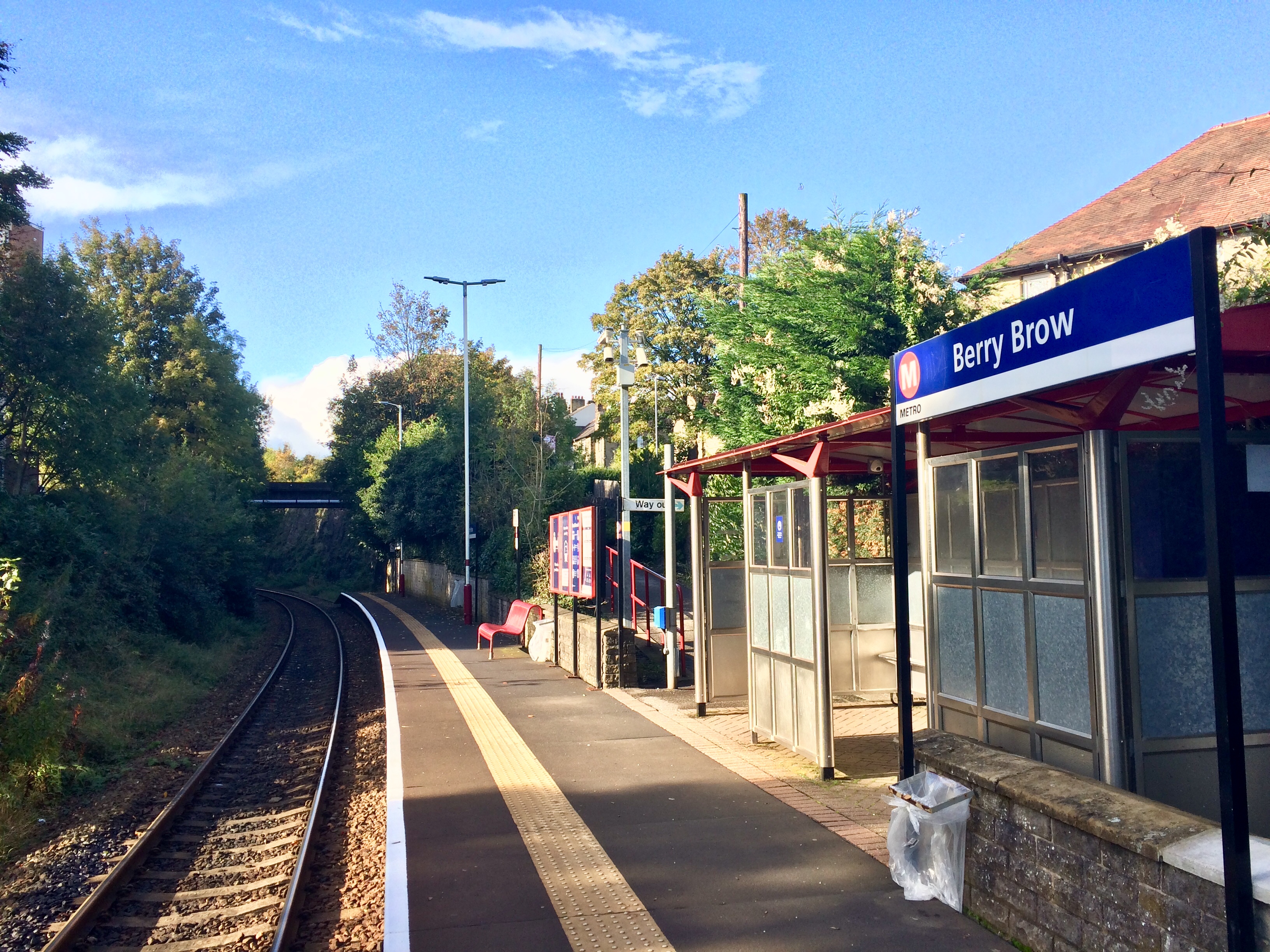
Berry Brow railway station
Berry Brow railway station serves the Huddersfield suburban villages of Berry Brow, Taylor Hill, Armitage Bridge and Newsome in the metropolitan borough...

Berry Brow
Berry Brow is a semi-rural village in West Yorkshire, England, situated about 2 miles (3 km) south of Huddersfield. It lies on the eastern bank of the...

Honley High School
Honley High School is a coeducational secondary school situated on the edge of the village of Honley in the Holme Valley, West Yorkshire, England. The...
Hall Bower
Hall Bower is a small hamlet lying 2 miles (3.5 km) south of Huddersfield, West Yorkshire, England.It sits in the shadow of Castle Hill, just above the...
Newsome Academy
Newsome Academy (formerly Newsome High School and Newsome High School & Sports College) is a co-educational secondary school located in Newsome (near Huddersfield...

Honley railway station
Honley railway station serves the village of Honley in the Holme Valley of West Yorkshire, England. Honley station lies approximately 3 miles (4.8 km)...
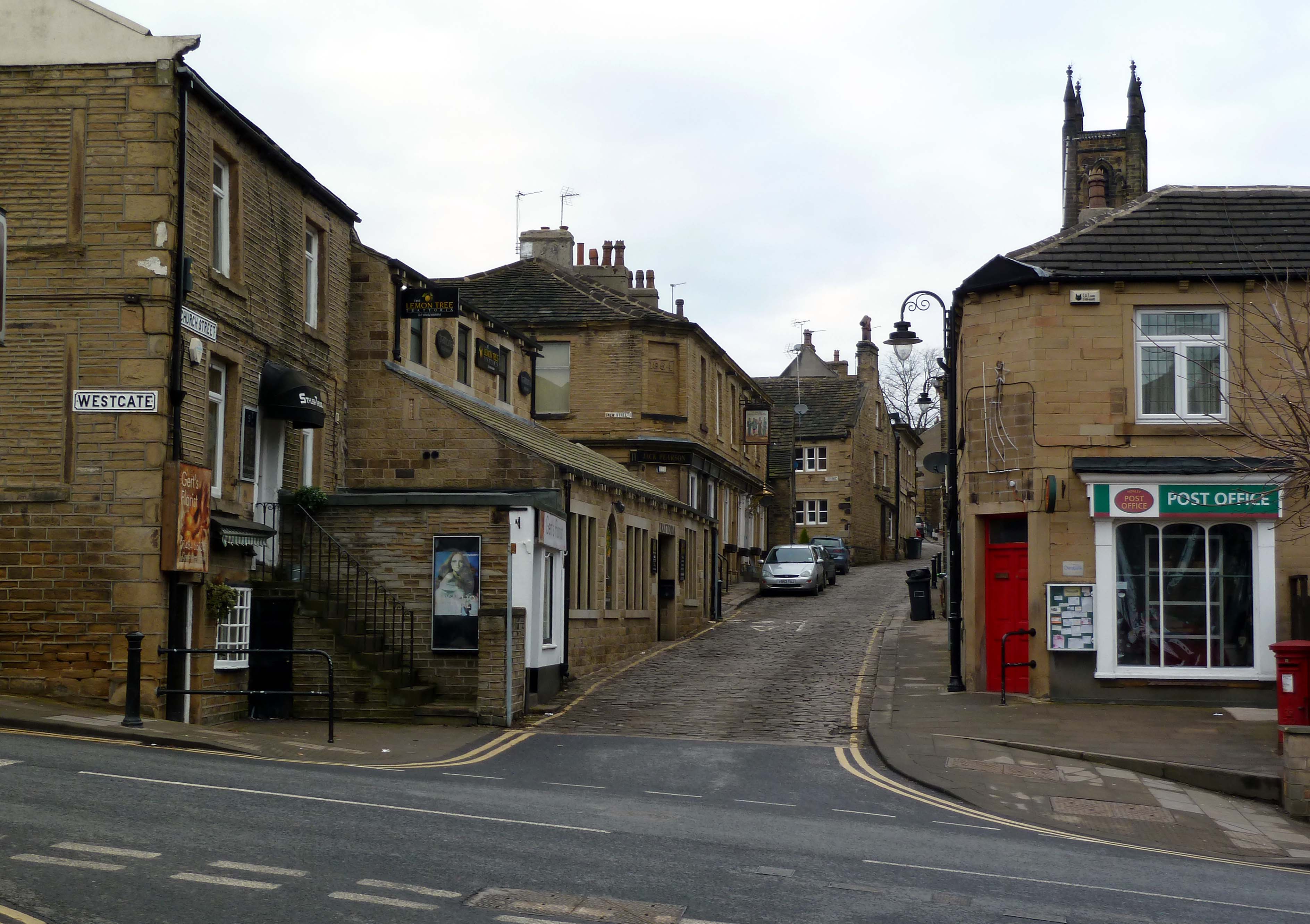
Honley
Honley is a village in the Holme Valley civil parish in Kirklees, West Yorkshire, England. Historically part of the West Riding of Yorkshire, it is situated...
Nearby Amenities
Located within 500m of 53.614701,-1.7929037Have you been to Park Wood?
Leave your review of Park Wood below (or comments, questions and feedback).