Hanging Stone
Settlement in Yorkshire
England
Hanging Stone
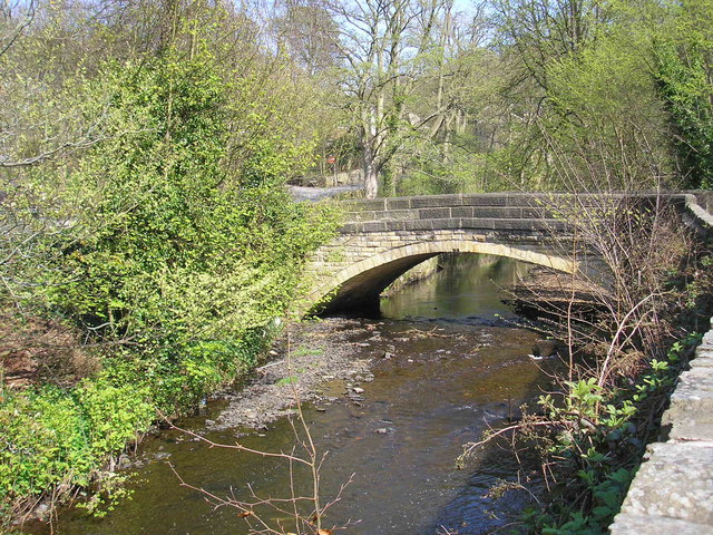
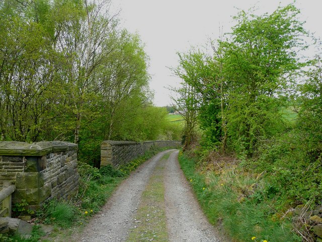
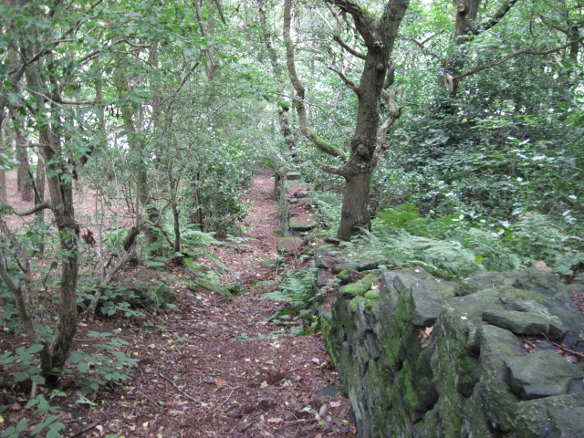
Hanging Stone is a prominent landmark located in the county of Yorkshire, England. Nestled within the picturesque Yorkshire Dales National Park, this natural feature is a large rock formation that hangs precariously on the edge of a steep cliff face.
Situated near the village of Malham, Hanging Stone offers breathtaking views of the surrounding countryside. The stone itself is an impressive sight, measuring approximately 10 meters in height and weighing several tons. It is believed to have been formed as a result of glacial activity during the last ice age, as the movement of ice carved out the valley and left behind this distinctive rock formation.
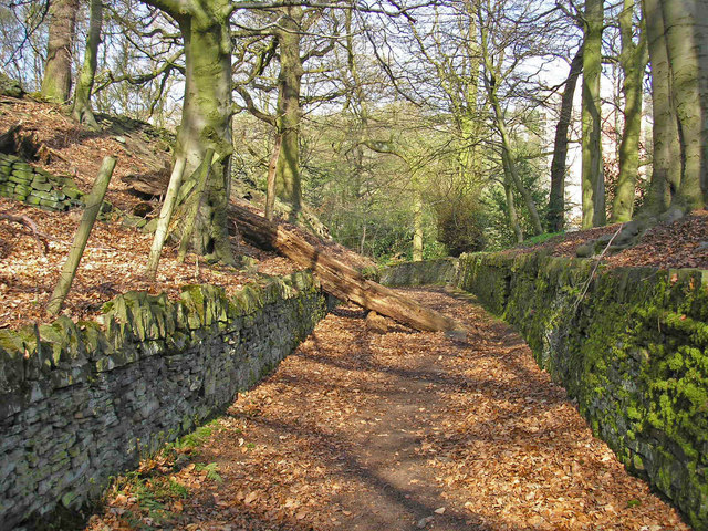
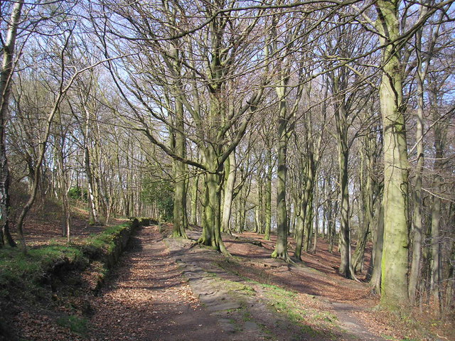
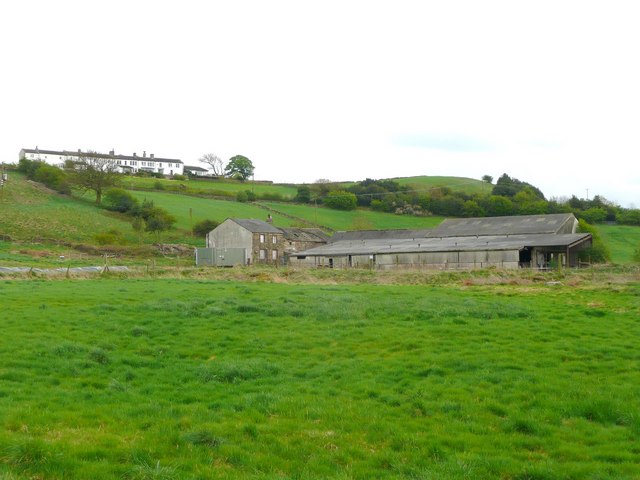
Hanging Stone has become a popular destination for hikers and nature enthusiasts, who are drawn to its awe-inspiring beauty and unique positioning. The area surrounding the stone is home to a diverse range of wildlife, including rare bird species such as peregrine falcons and red kites.
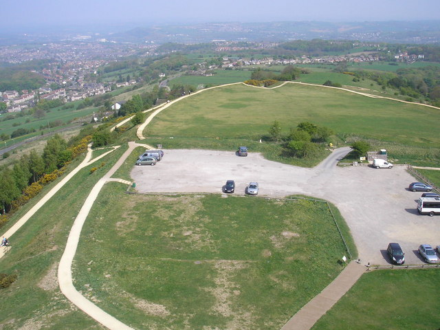
Visitors to Hanging Stone can enjoy various walking trails that wind through the rugged landscapes of the Yorkshire Dales. These trails offer stunning views of the stone and its surroundings, providing an unforgettable experience for nature lovers.
Additionally, Hanging Stone holds historical significance, as it is believed to have played a role in local folklore and legends. Tales of mythical creatures and ancient rituals have been passed down through generations, adding an air of mystery and intrigue to this already enchanting location.
Overall, Hanging Stone is a captivating natural wonder that showcases the beauty and rich history of Yorkshire's countryside. Whether it's for its geological importance, scenic views, or mythical tales, Hanging Stone remains a must-visit destination for those exploring this part of England.
If you have any feedback on the listing, please let us know in the comments section below.
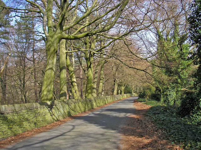
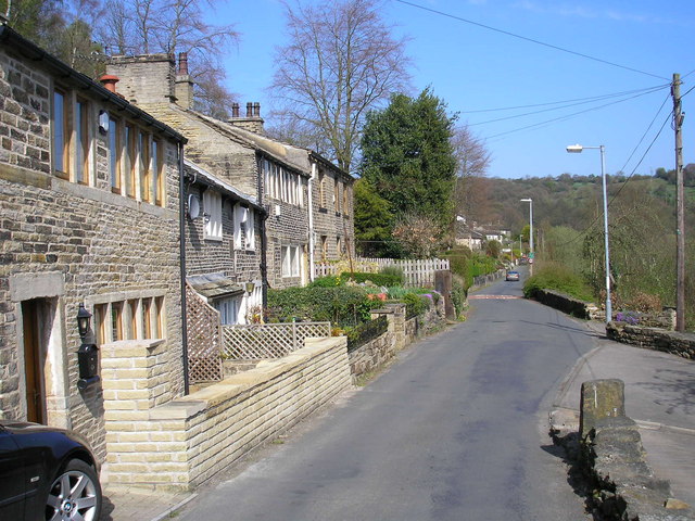
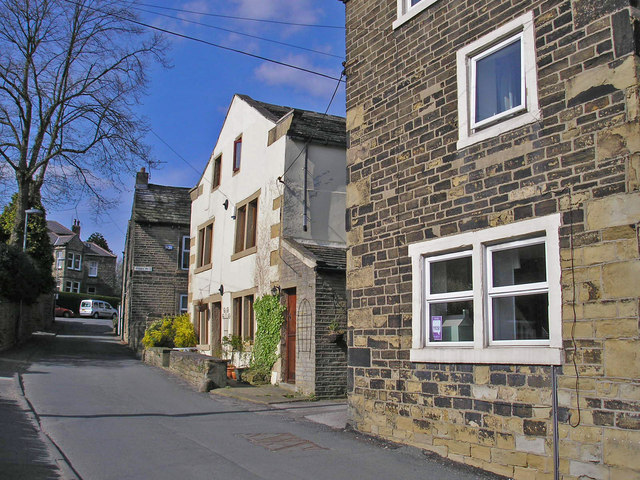
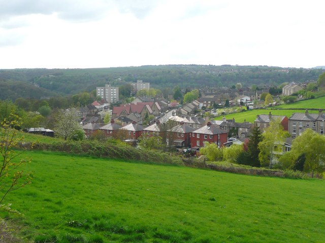
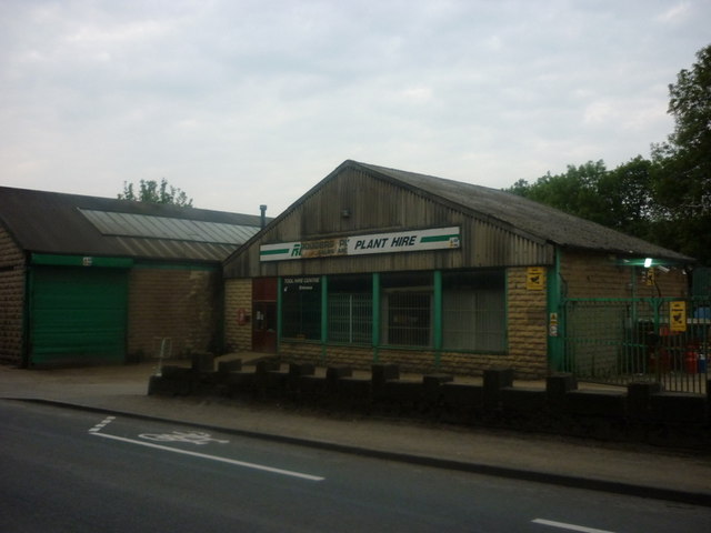
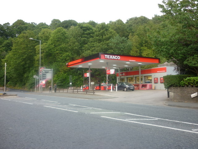
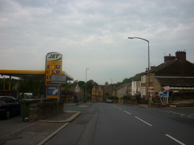
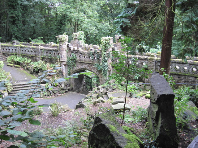
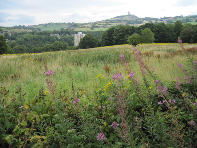
Hanging Stone Images
Images are sourced within 2km of 53.616361/-1.7911874 or Grid Reference SE1313. Thanks to Geograph Open Source API. All images are credited.
Hanging Stone is located at Grid Ref: SE1313 (Lat: 53.616361, Lng: -1.7911874)
Division: West Riding
Unitary Authority: Kirklees
Police Authority: West Yorkshire
What 3 Words
///buck.tribe.belts. Near Huddersfield, West Yorkshire
Nearby Locations
Related Wikis

Armitage Bridge
Armitage Bridge is a village approximately 3 miles (4.8 km) south of Huddersfield, in the Holme Valley, West Yorkshire, England. It is situated between...
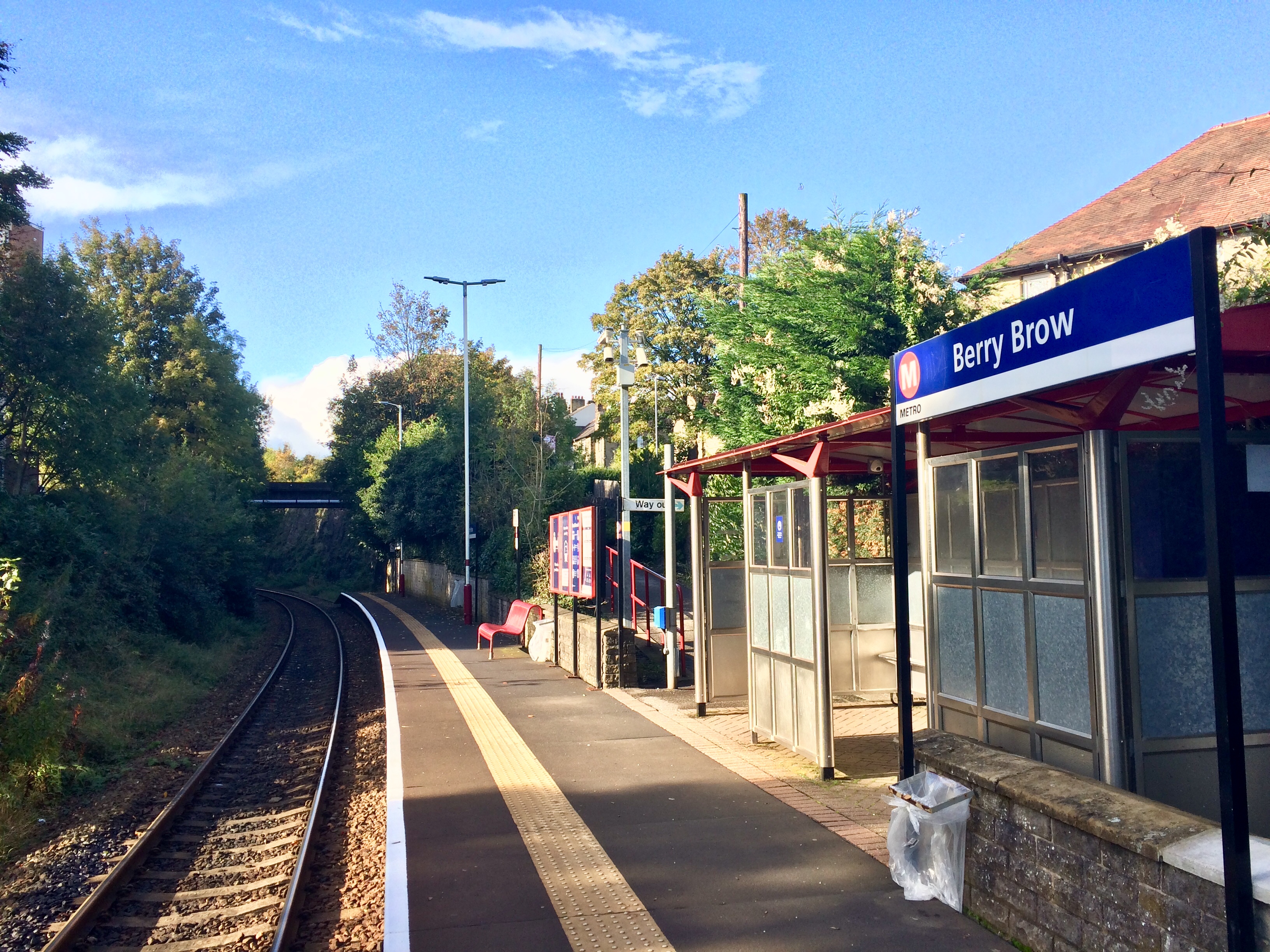
Berry Brow railway station
Berry Brow railway station serves the Huddersfield suburban villages of Berry Brow, Taylor Hill, Armitage Bridge and Newsome in the metropolitan borough...

Berry Brow
Berry Brow is a semi-rural village in West Yorkshire, England, situated about 2 miles (3 km) south of Huddersfield. It lies on the eastern bank of the...

Hall Bower
Hall Bower is a small hamlet lying 2 miles (3.5 km) south of Huddersfield, West Yorkshire, England.It sits in the shadow of Castle Hill, just above the...
Newsome Academy
Newsome Academy (formerly Newsome High School and Newsome High School & Sports College) is a co-educational secondary school located in Newsome (near Huddersfield...
Honley High School
Honley High School is a coeducational secondary school situated on the edge of the village of Honley in the Holme Valley, West Yorkshire, England. The...

Honley railway station
Honley railway station serves the village of Honley in the Holme Valley of West Yorkshire, England. Honley station lies approximately 3 miles (4.8 km)...

Newsome
Newsome is a village situated approximately 1 mile south of Huddersfield, West Yorkshire, England. It is in the Metropolitan Borough of Kirklees. The village...
Nearby Amenities
Located within 500m of 53.616361,-1.7911874Have you been to Hanging Stone?
Leave your review of Hanging Stone below (or comments, questions and feedback).