Armley
Settlement in Yorkshire
England
Armley

Armley is a suburb located in the city of Leeds, West Yorkshire, England. Situated about 2 miles west of the city center, it is bordered by the River Aire to the north and west. With a population of around 20,000, Armley is a diverse and vibrant community.
The area boasts a rich industrial history, with its origins dating back to the 13th century. Armley Mills, a former textile mill, is now a captivating museum that showcases the area's industrial heritage. The site is home to the Leeds Industrial Museum, which exhibits a range of machinery and artifacts from the textile industry.
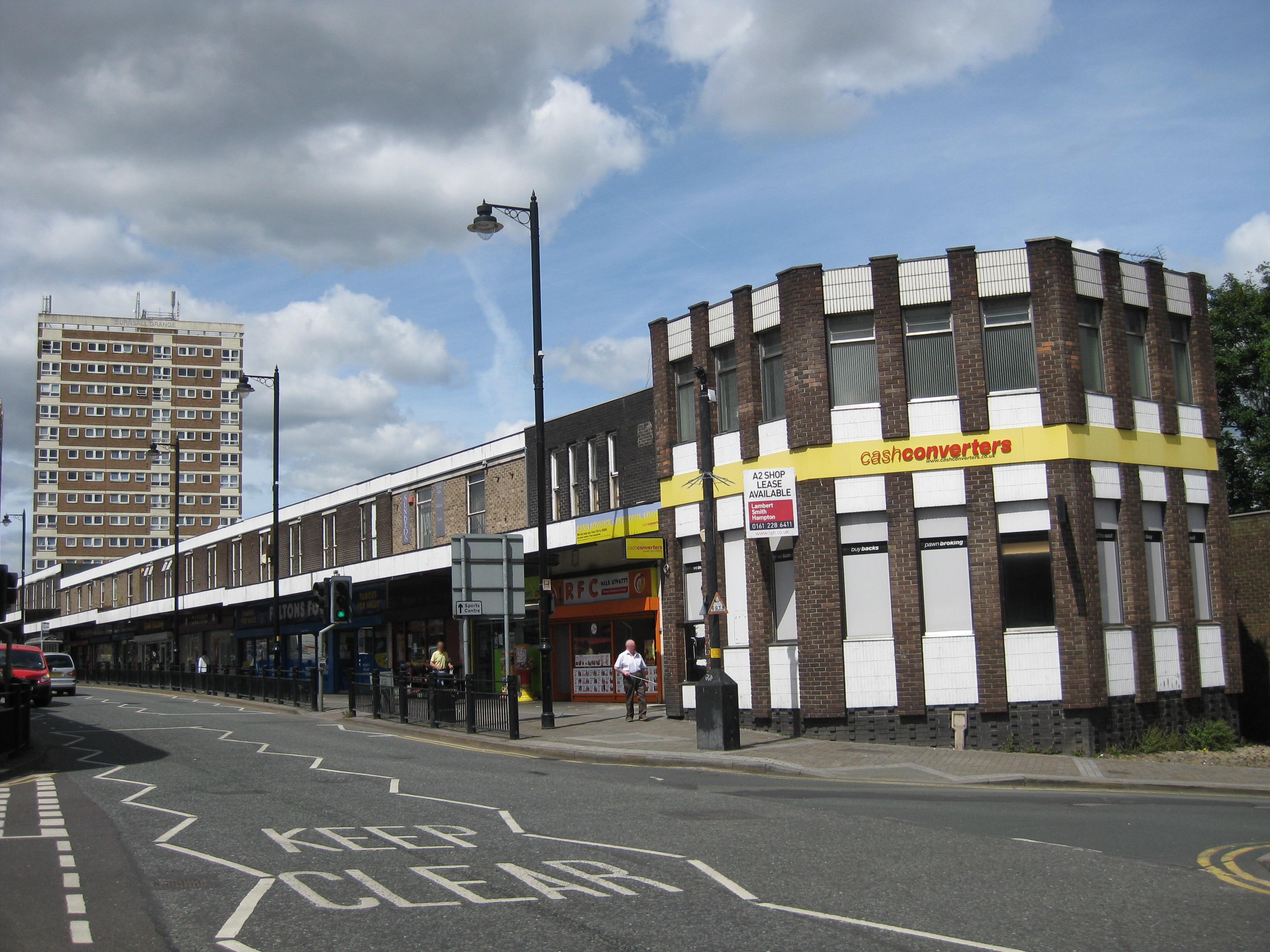
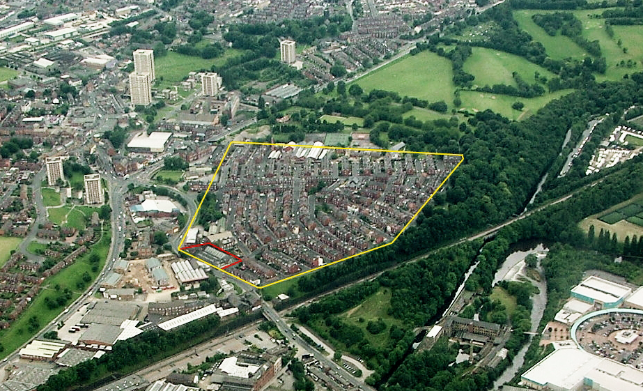
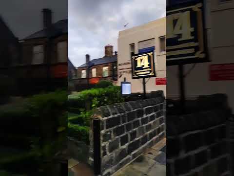
Armley is primarily residential, characterized by rows of terraced houses, many of which were built during the 19th century. The area also features a mix of modern apartment complexes, providing a variety of housing options. Armley Town Street serves as the main shopping district, offering a range of local businesses, shops, and amenities.
In terms of recreation, Armley Park provides a green oasis for residents. The park features open spaces, playgrounds, and sports facilities, creating a hub for outdoor activities. Additionally, the Leeds and Liverpool Canal runs through Armley, offering opportunities for walks along its scenic banks.
Transportation in Armley is well-served by regular bus services, connecting the suburb to Leeds city center and other nearby areas. The M621 motorway also runs close to Armley, providing convenient access to wider transport networks.
Overall, Armley is a thriving community with a rich history, providing its residents with a range of amenities and a strong sense of local identity.
If you have any feedback on the listing, please let us know in the comments section below.
Armley Images
Images are sourced within 2km of 53.797172/-1.583984 or Grid Reference SE2733. Thanks to Geograph Open Source API. All images are credited.


Armley is located at Grid Ref: SE2733 (Lat: 53.797172, Lng: -1.583984)
Division: West Riding
Unitary Authority: Leeds
Police Authority: West Yorkshire
What 3 Words
///most.hopes.passes. Near Holbeck, West Yorkshire
Nearby Locations
Related Wikis
Armley
Armley is a district in the west of Leeds, West Yorkshire, England. It starts less than 1 mile (1.6 km) from Leeds city centre. Like much of Leeds, Armley...
Armley asbestos disaster
The Armley asbestos disaster is an ongoing health issue originating in Armley, a suburb of Leeds, West Yorkshire, England. Described by Dr. Geoffrey Tweedale...
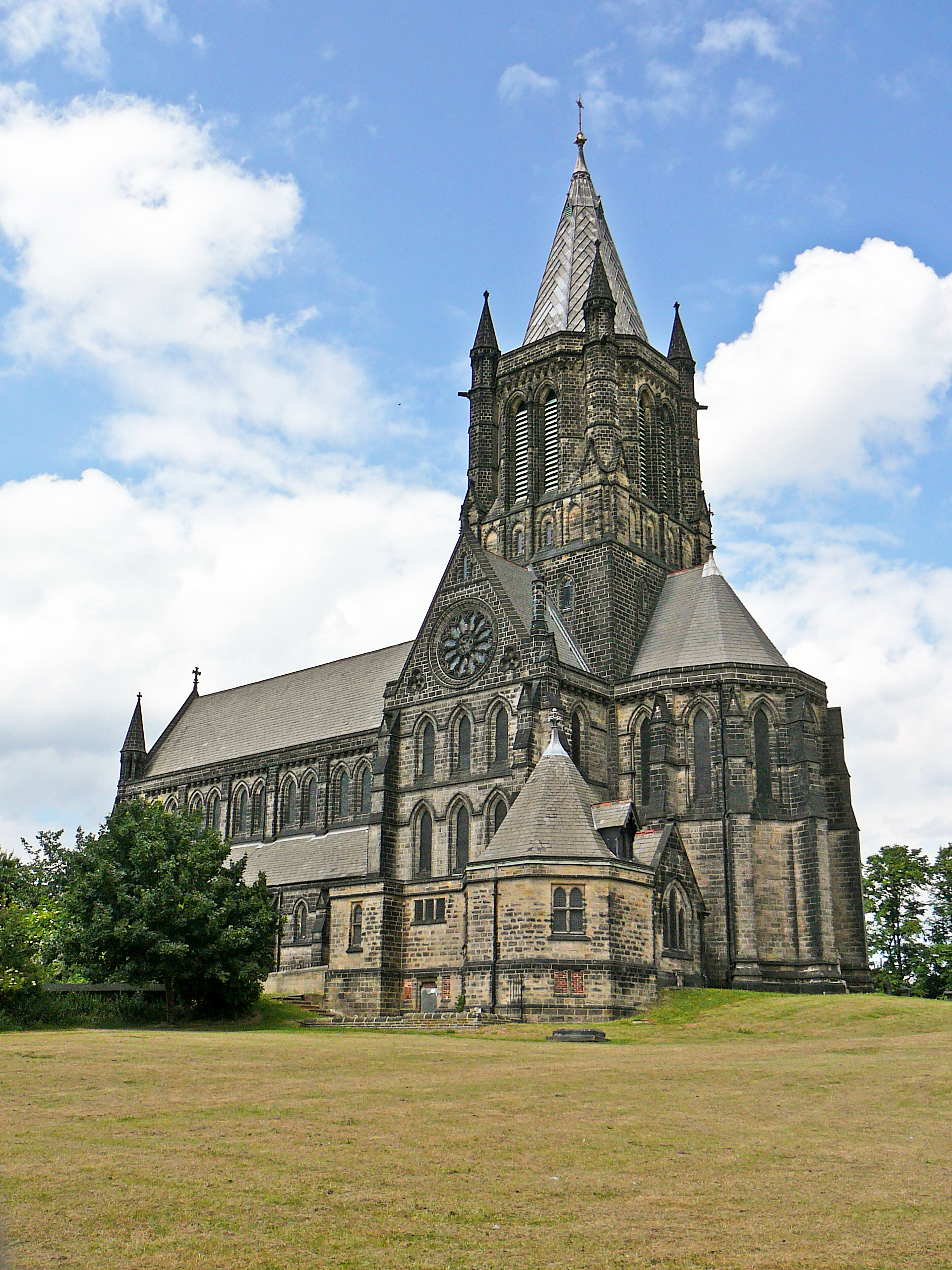
St Bartholomew's Church, Armley
St Bartholomew's Church, Armley is a parish church in the Church of England in Armley, West Yorkshire. The church is one of two Church of England churches...
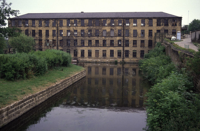
Leeds Industrial Museum at Armley Mills
The Leeds Industrial Museum at Armley Mills is a museum of industrial heritage located in Armley, near Leeds, in West Yorkshire, Northern England. The...
Related Videos

Strolling Around The Parkinson Building, University of Leeds, England
Strolling Around The Parkinson Building, University of Leeds, England #Leeds #ParkinsonBuilding #Architecture #Landmark ...

Paul Murray @ Up Yer Ronson may bank holiday 2019
Paul Murray Rocking the terrace @mint warehouse may 2019.

LEEDS KIRKSTALL ABBEY WALKING🚶🏻♂️ IS NICE PALCE 🏟 4K VIDEO 🎥
Kirkstall Abbey is a ruined Cistercian monastery in Kirkstall, north-west of Leeds city centre in West Yorkshire, England. It is set in ...
Nearby Amenities
Located within 500m of 53.797172,-1.583984Have you been to Armley?
Leave your review of Armley below (or comments, questions and feedback).