Armscote

Settlement in Warwickshire Stratford-on-Avon

England

Armscote

The White Hart, Newbold on Stour
The White Hart, Newbold on Stour Credit: David Howard

Armscote is a small village located in the county of Warwickshire, England. Situated in the picturesque countryside, it lies approximately 4 miles southwest of the market town of Shipston-on-Stour. The village is part of the Stratford-on-Avon district and falls within the parliamentary constituency of Stratford-on-Avon.

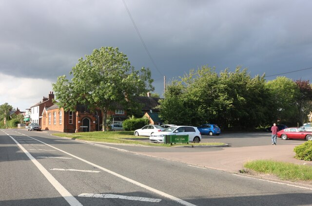
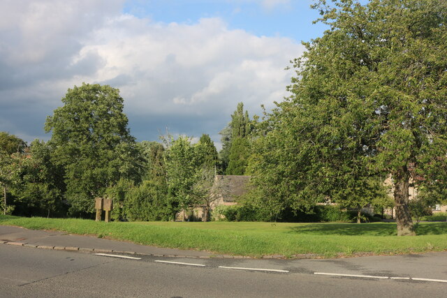
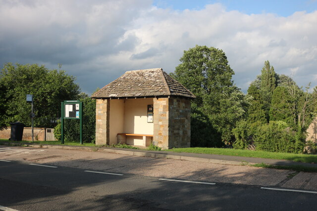
With a population of around 200 inhabitants, Armscote exudes a quintessential rural charm. The village is characterized by its traditional stone houses and picturesque cottages, which contribute to its idyllic atmosphere. The surrounding landscape is dotted with rolling hills and lush green fields, creating a beautiful backdrop for the village.

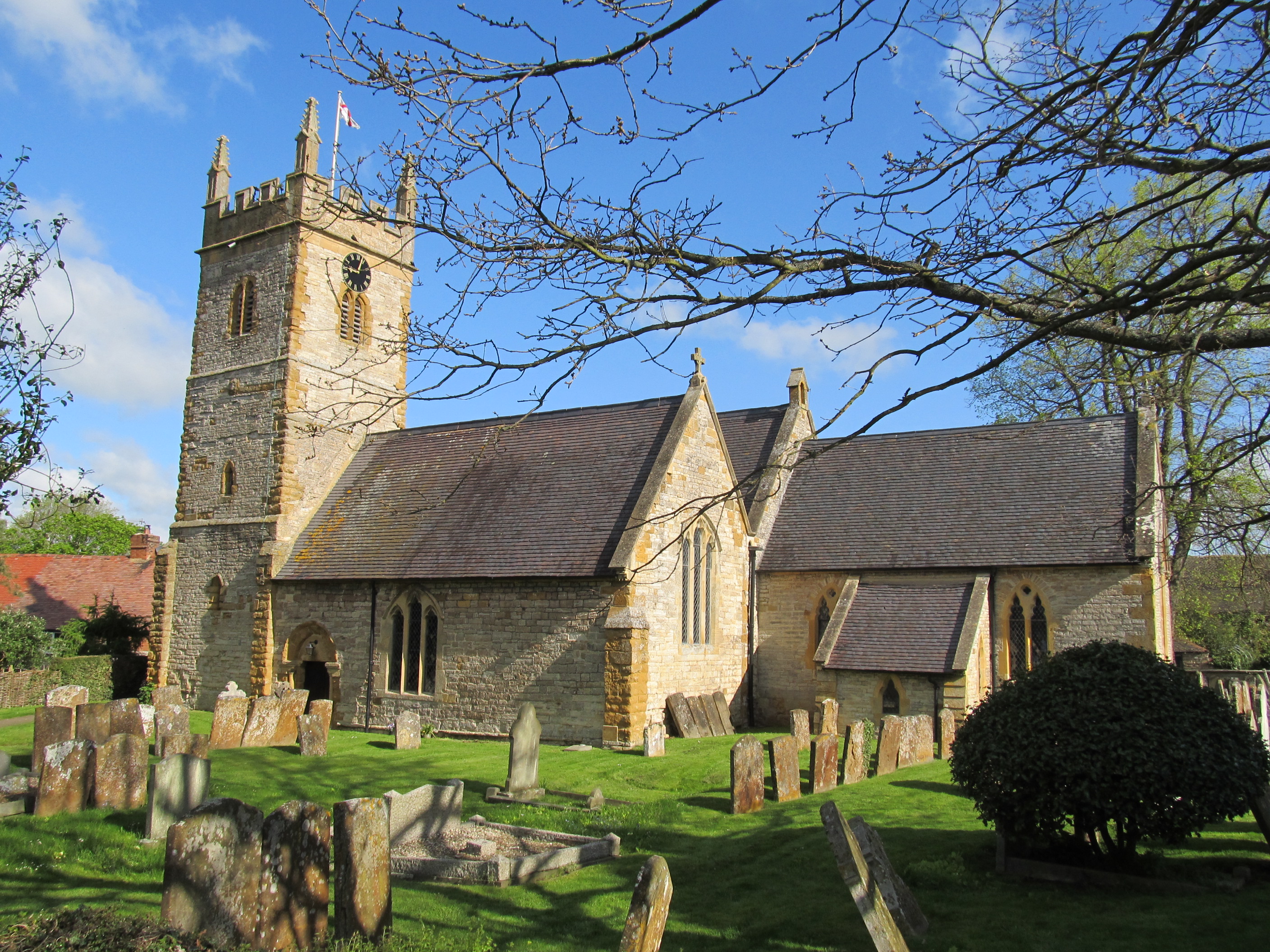
Armscote is well-known for its historical significance. The village is home to St. James' Church, a Grade II listed building that dates back to the 12th century. The church features stunning architectural details and is a testament to the village's rich heritage.

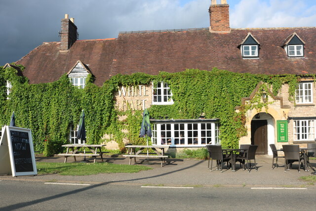
Despite its small size, Armscote boasts a strong sense of community. The village has a local pub, The Fuzzy Duck, which serves as a popular meeting spot for residents and visitors alike. The pub offers a range of traditional food and drinks, making it a hub of social activity.

Surrounded by the natural beauty of the Warwickshire countryside, Armscote presents ample opportunities for outdoor pursuits. The village is a starting point for numerous scenic walks and bike rides, allowing visitors to explore the stunning surroundings.

In summary, Armscote is a charming village in Warwickshire that offers a peaceful and picturesque setting. With its rich history, sense of community, and beautiful natural surroundings, it is a place that captures the essence of rural England.

If you have any feedback on the listing, please let us know in the comments section below.
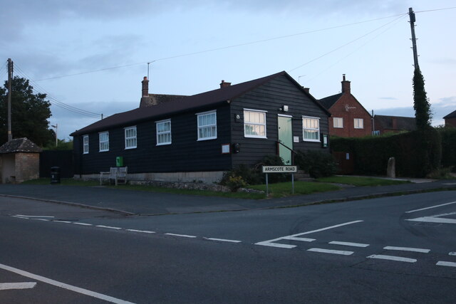
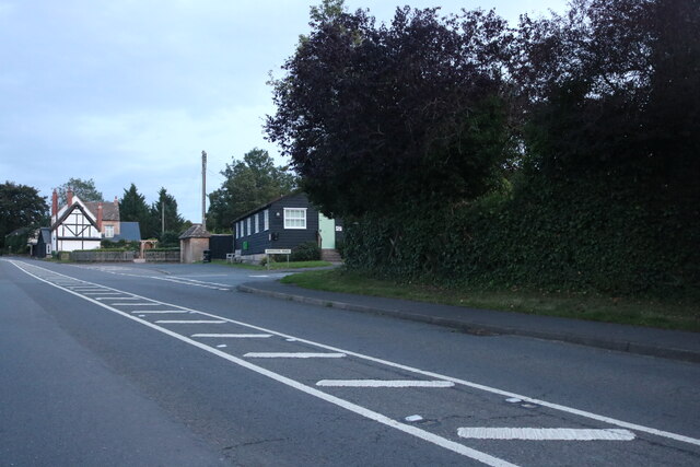
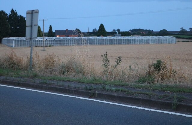
Armscote Images

Images are sourced within 2km of 52.100613/-1.64769 or Grid Reference SP2444. Thanks to Geograph Open Source API. All images are credited.

The White Hart, Newbold on Stour
Stratford Road, Newbold on Stour
Green by the A3400, Tredington
Bus shelter on the A3400, Tredington
Tredington village hall
The A3400, Tredington
Greenhouses by Mill Road, Newbold on Stour
Field by Mill Road, Newbold on Stour
Halford, St. Mary's Church: The nave
Halford, St. Mary's Church: Norman chancel arch
Halford, St. Mary's Church: c14th octagonal stone font
Halford, St. Mary's Church: The chancel
Halford, St. Mary's Church: Norman chancel arch and defaced sculpture next to it
Halford, St. Mary's Church: Foliated corbel supporting later c19th roof 1
Halford, St. Mary's Church: Foliated corbel supporting later c19th roof 2
Halford, St. Mary's Church: Foliated corbel supporting later c19th roof 3
Halford, St. Mary's Church: Foliated corbel supporting later c19th roof 4
Halford, St. Mary's Church: Foliated corbel supporting later c19th roof 5
Show me another place!

Armscote is located at Grid Ref: SP2444 (Lat: 52.100613, Lng: -1.64769)

Administrative County: Warwickshire

District: Stratford-on-Avon

Police Authority: Warwickshire

What 3 Words

///brother.cupboards.studs. Near Shipston on Stour, Warwickshire

Nearby Locations

Armscote

Related Wikis

Armscote

Armscote is a small village, some three miles north of Shipston-on-Stour in Warwickshire, England. It is located a mile off the A429 road which is the...

Newbold on Stour

Newbold on Stour is a village in Warwickshire about 6 miles (10 km) south of Stratford upon Avon. Population details are included within Tredington. The...

Tredington, Warwickshire

Tredington is a village and civil parish on the River Stour in Warwickshire, England. The village is 2 miles (3 km) north of Shipston-on-Stour. The civil...

Halford, Warwickshire

Halford is a village and civil parish about 3 miles (5 km) north of Shipston-on-Stour in Warwickshire, England. The village is where the Fosse Way Roman...

Related Videos

Rebecca & Michael | Blackwell Grange | Traditional Cotswolds Wedding Film

REBECCA & MICHAEL | BLACKWELL GRANGE | TRADITIONAL COTSWOLDS WEDDING FILM TRADITIONAL COTSWOLDS ...

Ettington Park Hotel Wedding Video, Warwickshire | Hybrid Wedding Photography

What an incredible day at Ettington Park Hotel! I simultaneously photographed and filmed this wedding and I am really pleased ...

Nearby Amenities

Located within 500m of 52.100613,-1.64769
Bus Stop
Fox & Goose
Bus: yes
Naptan AtcoCode: 4200F002400
Naptan Bearing: E
Naptan CommonName: Fox & Goose
Naptan Indicator: Adj
Naptan NaptanCode: waratgdp
Naptan Street: Ilmington Road
Naptan Verified: no
Public Transport: platform
Source: naptan_import
Lat/Long: 52.1003307/-1.6462324
Bus Stop
Fox & Goose
Bus: yes
Naptan AtcoCode: 4200F002500
Naptan Bearing: W
Naptan CommonName: Fox & Goose
Naptan Indicator: Opp
Naptan NaptanCode: waradadm
Naptan Street: Ilmington Road
Naptan Verified: no
Public Transport: platform
Source: naptan_import
Lat/Long: 52.1002585/-1.64616
Armscote
Place: village
Wikidata: Q4793876
Wikipedia: en:Armscote
Lat/Long: 52.1000208/-1.6462431
Post Box
Collection Times: Mo-Fr 16:15; Sa 10:30
Operator: Royal Mail
Operator Wikidata: Q638098
Post Box Type: wall
Ref: CV37 16
Royal Cypher: VR
Royal Cypher Wikidata: Q33102356
Source: survey
Lat/Long: 52.0998022/-1.6460026
Generator Method: photovoltaic
Generator Output Electricity: yes
Generator Source: solar
Generator Type: solar_photovoltaic_panel
Location: roof
Power: generator
Lat/Long: 52.1001013/-1.6430488
Generator Method: photovoltaic
Generator Output Electricity: yes
Generator Source: solar
Generator Type: solar_photovoltaic_panel
Location: roof
Power: generator
Lat/Long: 52.1001375/-1.6439071
Material: wood
Power: pole
Source: bing
Lat/Long: 52.0969608/-1.6472894
Material: wood
Power: pole
Source: bing
Lat/Long: 52.0980977/-1.6478983
Power: pole
Source: bing
Lat/Long: 52.098793/-1.6482925
Power: pole
Source: bing
Lat/Long: 52.0996103/-1.6487861
Power: pole
Source: bing
Lat/Long: 52.0999003/-1.6489685
Power: pole
Source: bing
Lat/Long: 52.1006088/-1.6494057
Power: pole
Source: bing
Lat/Long: 52.1013156/-1.6498348
Power: pole
Source: bing
Lat/Long: 52.102024/-1.650264
Power: pole
Source: bing
Lat/Long: 52.1027078/-1.6506878
Power: pole
Source: bing
Lat/Long: 52.1033915/-1.6511759
Power: pole
Source: bing
Lat/Long: 52.104062/-1.6516989
Defibrillator
Emergency: defibrillator
Indoor: no
Mapillary: 1414986232214184
Lat/Long: 52.1003169/-1.6463263
Power: pole
So: b
Lat/Long: 52.0983449/-1.6536087
Power: pole
Ref: 774386
Transformer: distribution
Lat/Long: 52.0984775/-1.6525733
Power: pole
So: b
Lat/Long: 52.0989669/-1.651357
Power: pole
Ref: 774390
Source: wpd_opendata
Transformer: distribution
Lat/Long: 52.099443/-1.6501406
The data included in this document is from www.openstreetmap.org. The data is made available under ODbL.

Have you been to Armscote?

Leave your review of Armscote below (or comments, questions and feedback).