Armsdale
Settlement in Staffordshire Stafford
England
Armsdale
Armsdale is a picturesque village located in the county of Staffordshire, England. Situated on the outskirts of the bustling city of Stafford, Armsdale offers a peaceful and idyllic setting for its residents. With a population of around 1,000 people, it maintains a close-knit community feel.
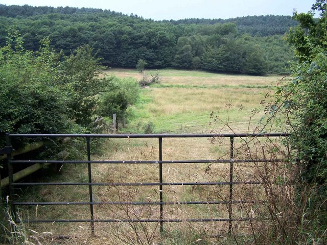
The village is renowned for its stunning natural beauty, surrounded by lush green countryside and rolling hills. It is a haven for outdoor enthusiasts and nature lovers, offering a multitude of walking and cycling trails that showcase the area's scenic landscapes. Armsdale is also home to a charming village green, providing a tranquil spot for relaxation and community events.
Historically, Armsdale has a rich heritage dating back centuries. The village is dotted with historic buildings, including the beautiful St. Mary's Church, which stands as a testament to its long-standing past. The local museum offers visitors a glimpse into the village's history, showcasing artifacts and exhibits that portray the area's cultural significance.
Despite its rural setting, Armsdale is well-connected to nearby towns and cities. The village benefits from excellent transport links, including a nearby train station and easy access to major road networks. This allows residents to enjoy the peacefulness of village life while still having convenient access to amenities and employment opportunities in larger urban areas.
Overall, Armsdale is a charming and picturesque village, offering a serene and close-knit community amidst stunning natural surroundings. Its rich history, beautiful landscapes, and convenient location make it a desirable place to live for those seeking a peaceful and idyllic lifestyle.
If you have any feedback on the listing, please let us know in the comments section below.
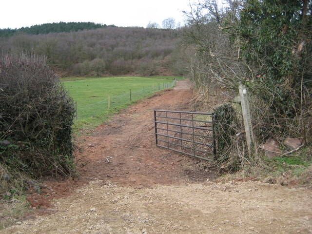
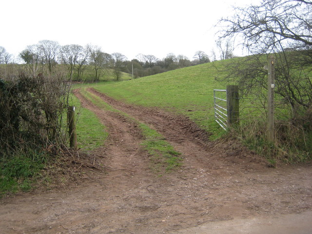
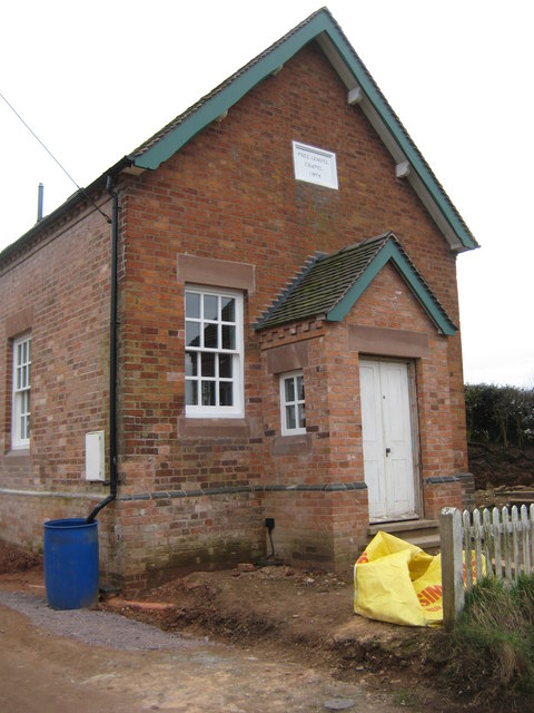
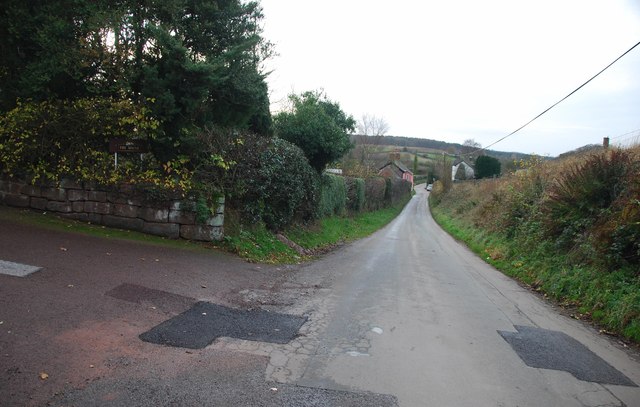
Armsdale Images
Images are sourced within 2km of 52.884918/-2.3581066 or Grid Reference SJ7632. Thanks to Geograph Open Source API. All images are credited.


Armsdale is located at Grid Ref: SJ7632 (Lat: 52.884918, Lng: -2.3581066)
Administrative County: Staffordshire
District: Stafford
Police Authority: Staffordshire
What 3 Words
///maternal.slippers.directors. Near Standon, Staffordshire
Related Wikis

Armsdale
Armsdale is a village in Staffordshire, England. Population details for the 2011 census can be found under Eccleshall.
Outlands, Staffordshire
Outlands is a hamlet in the English county of Staffordshire. It lies 1 km eas of Bishop's Offley. == External links == Map sources for Outlands, Staffordshire
Croxton, Staffordshire
Croxton is a village on the B5026 between Eccleshall and Loggerheads. Population details for the 2011 census can be found under Eccleshall. It is notable...
Jackson's Coppice and Marsh
Jackson's Coppice and Marsh is a nature reserve of the Staffordshire Wildlife Trust. It is along the River Sow, near the village of Bishop's Offley and...

Adbaston
Adbaston is a village and a civil parish in the English county of Staffordshire. == Location == The village is 13 miles (20.9 km) north east of the town...
Loggerheads, Staffordshire
Loggerheads is a village and civil parish in north-west Staffordshire, England, on the A53 between Market Drayton and Newcastle-under-Lyme. == Name... ==

Ashley, Staffordshire
Ashley is a village and former civil parish, now in the parish of Loggerheads, in the Newcastle-under-Lyme district, in the county of Staffordshire, England...

Cheswardine
Cheswardine ( CHEZ-war-dyne) is a rural village and civil parish in north east Shropshire, England. The village lies close to the border with Staffordshire...
Nearby Amenities
Located within 500m of 52.884918,-2.3581066Have you been to Armsdale?
Leave your review of Armsdale below (or comments, questions and feedback).