Fairoak

Settlement in Staffordshire Stafford

England

Fairoak

Footpath off Langot Lane Footpath going west towards Bishop's Wood
Footpath off Langot Lane Credit: Peter Fleming

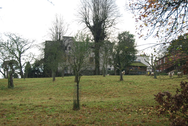
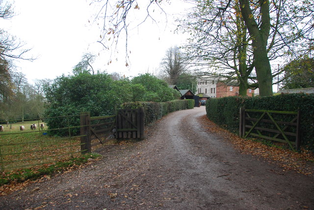
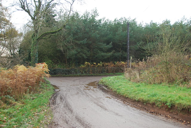
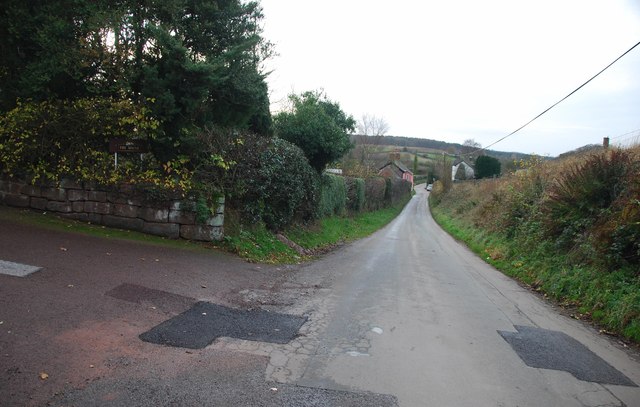
Fairoak, located in the county of Staffordshire, England, is a small village that offers a peaceful and picturesque setting. Situated in the Staffordshire Moorlands district, Fairoak is surrounded by rolling hills, lush green fields, and charming countryside.

The village is home to a close-knit community, with a population of around 500 residents. Fairoak exudes a friendly and welcoming atmosphere, making it an ideal place for families and individuals seeking a tranquil lifestyle away from the hustle and bustle of larger towns and cities.

Despite its small size, Fairoak boasts a range of amenities to cater to its residents. These include a primary school, a village hall, a local shop, and a pub, providing essential services and fostering a sense of community cohesion.

Nature lovers will be delighted by the scenic beauty that Fairoak has to offer. The village is surrounded by stunning countryside, offering numerous opportunities for outdoor activities such as walking, hiking, and cycling. The nearby Peak District National Park also provides additional options for exploration and adventure.

Fairoak's location offers easy access to nearby towns and cities. The market town of Leek is just a short drive away, providing a range of shops, supermarkets, and leisure facilities. The city of Stoke-on-Trent is approximately 12 miles from Fairoak, offering further amenities, including shopping centers, museums, and cultural attractions.

In conclusion, Fairoak, Staffordshire, is a charming village nestled in the Staffordshire Moorlands district, offering a tranquil and idyllic setting. With its close-knit community, beautiful surroundings, and convenient access to nearby towns and cities, Fairoak is a desirable place to call home.

If you have any feedback on the listing, please let us know in the comments section below.
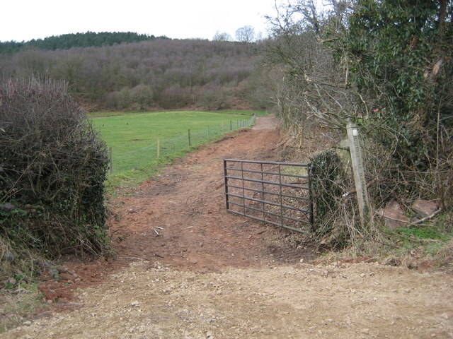
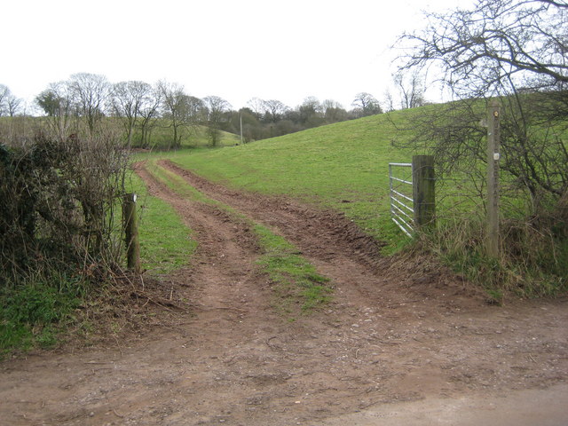
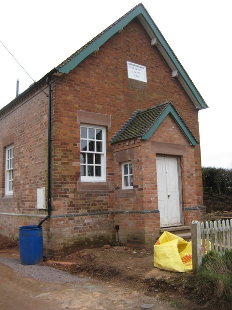
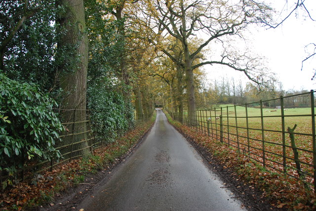
Fairoak Images

Images are sourced within 2km of 52.892113/-2.350007 or Grid Reference SJ7632. Thanks to Geograph Open Source API. All images are credited.

Footpath off Langot Lane Footpath going west towards Bishop's Wood
Footpath off Langot Lane
Footpath going west towards Bishop's Wood
Footpath off Langot Lane Footpath east off Langot Lane
Footpath off Langot Lane
Footpath east off Langot Lane
Free Gospel Chapel The Chapel, built in 1874 according to the stone above the door, appears to be under development for residential use.
Free Gospel Chapel
The Chapel, built in 1874 according to the stone above the door, appears to be under development for residential use.
Road through Charnes estate This road with its metal fences and avenue of trees, gives the impression that there is large estate nearby.   see link  <span class="nowrap"><a title="http://www.britishlistedbuildings.co.uk/en-272232-charnes-hall-eccleshall" rel="nofollow ugc noopener" href="http://www.britishlistedbuildings.co.uk/en-272232-charnes-hall-eccleshall">Link</a><img style="margin-left:2px;" alt="External link" title="External link - shift click to open in new window" src="https://s1.geograph.org.uk/img/external.png" width="10" height="10"/></span>
Road through Charnes estate
This road with its metal fences and avenue of trees, gives the impression that there is large estate nearby. see link LinkExternal link
Charnes Hall, Eccleshall It is a pity that this old hall is partly covered by trees.  see link  <span class="nowrap"><a title="http://www.britishlistedbuildings.co.uk/en-272232-charnes-hall-eccleshall" rel="nofollow ugc noopener" href="http://www.britishlistedbuildings.co.uk/en-272232-charnes-hall-eccleshall">Link</a><img style="margin-left:2px;" alt="External link" title="External link - shift click to open in new window" src="https://s1.geograph.org.uk/img/external.png" width="10" height="10"/></span>
Charnes Hall, Eccleshall
It is a pity that this old hall is partly covered by trees. see link LinkExternal link
The driveway to Charnes Hall
Looking back to a road junction near the Ashley Road Plantation
Longfield Cottage at Wetwood This is a charming cottage in the hamlet of Wetwood, the date on the front is 1921.
Longfield Cottage at Wetwood
This is a charming cottage in the hamlet of Wetwood, the date on the front is 1921.
Wetwood Manor, Wetwood
Looking towards Fairoak The drive on the left leads up to a property named The Mount.
Looking towards Fairoak
The drive on the left leads up to a property named The Mount.
Well Cottage, Fairoak The coach going by Well Cottage, gives some idea how of narrow the lanes are around here.
Well Cottage, Fairoak
The coach going by Well Cottage, gives some idea how of narrow the lanes are around here.
Rookery Cottages near Wetwood This row of cottages are very eyecatching as you drive by. The chimneys are worth looking at, there has been a lot of pride taken when building them.
Rookery Cottages near Wetwood
This row of cottages are very eyecatching as you drive by. The chimneys are worth looking at, there has been a lot of pride taken when building them.
Rowley House Farm This is a wonderful old red brick barn, that has had quite a few alterations done to it over the years.
Rowley House Farm
This is a wonderful old red brick barn, that has had quite a few alterations done to it over the years.
Junction on Eccleshall Road, Wetwood
Garden at the entrance to Broughton Hall This is also the home for the Caudwell lyme disease charity. <span class="nowrap"><a title="https://caudwelllyme.com/" rel="nofollow ugc noopener" href="https://caudwelllyme.com/">Link</a><img style="margin-left:2px;" alt="External link" title="External link - shift click to open in new window" src="https://s1.geograph.org.uk/img/external.png" width="10" height="10"/></span>
Garden at the entrance to Broughton Hall
This is also the home for the Caudwell lyme disease charity. LinkExternal link
Eccleshall Road, Wetwood
Eccleshall Road, Croxtonbank
Woods by Eccleshall Road, Croxtonbank
Show me another place!

Fairoak is located at Grid Ref: SJ7632 (Lat: 52.892113, Lng: -2.350007)

Administrative County: Staffordshire

District: Stafford

Police Authority: Staffordshire

What 3 Words

///muffin.sponsors.clays. Near Standon, Staffordshire

Nearby Locations

Fairoak Armsdale

Related Wikis

Armsdale

Armsdale is a village in Staffordshire, England. Population details for the 2011 census can be found under Eccleshall.

Croxton, Staffordshire

Croxton is a village on the B5026 between Eccleshall and Loggerheads. Population details for the 2011 census can be found under Eccleshall. It is notable...

Outlands, Staffordshire

Outlands is a hamlet in the English county of Staffordshire. It lies 1 km eas of Bishop's Offley. == External links == Map sources for Outlands, Staffordshire

Ashley, Staffordshire

Ashley is a village and former civil parish, now in the parish of Loggerheads, in the Newcastle-under-Lyme district, in the county of Staffordshire, England...

Nearby Amenities

Located within 500m of 52.892113,-2.350007
Bus Stop
Freemasons Arms PH
Naptan AtcoCode: 3800C703300
Naptan Bearing: S
Naptan CommonName: Freemasons Arms PH
Naptan Indicator: Adj
Naptan Landmark: Freemasons Arms PH
Naptan Street: Langot Lane
Naptan Verified: no
Source: naptan_import
Lat/Long: 52.8906027/-2.3495697
Fairoak
Place: hamlet
Lat/Long: 52.8926379/-2.3489424
Power: pole
Lat/Long: 52.8965253/-2.3506467
Power: pole
Lat/Long: 52.8948445/-2.3477064
Power: pole
Lat/Long: 52.8934508/-2.3452865
Power: pole
Lat/Long: 52.8940618/-2.3463278
Power: pole
Lat/Long: 52.8929189/-2.3443474
Power: pole
Lat/Long: 52.8921069/-2.3429237
Power: pole
Lat/Long: 52.8960908/-2.3498873
Power: pole
Lat/Long: 52.8954346/-2.3487404
Barrier: stile
Lat/Long: 52.8928008/-2.3542473
Post Box
Collection Times: Mo-Fr 16:00, Sa 10:00
Post Box Design: hovis
Post Box Mounting: wall
Post Box Type: lamp
Royal Cypher: EVIIR
Royal Cypher Wikidata: Q33102324
Lat/Long: 52.8904134/-2.3497712
Booth: K6
Covered: booth
Disused Amenity: telephone
Man Made: telephone_box
Lat/Long: 52.8901256/-2.3497962
The data included in this document is from www.openstreetmap.org. The data is made available under ODbL.

Have you been to Fairoak?

Leave your review of Fairoak below (or comments, questions and feedback).