Carr Head Plantation

Wood, Forest in Yorkshire

England

Carr Head Plantation

Bridleway above Hepworth Wood
Bridleway above Hepworth Wood Credit: Stephen Craven

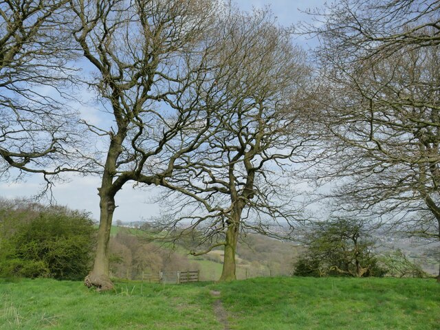
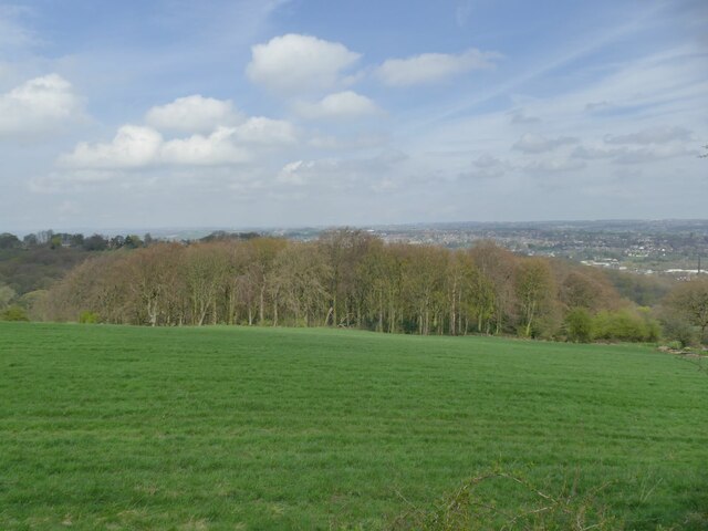
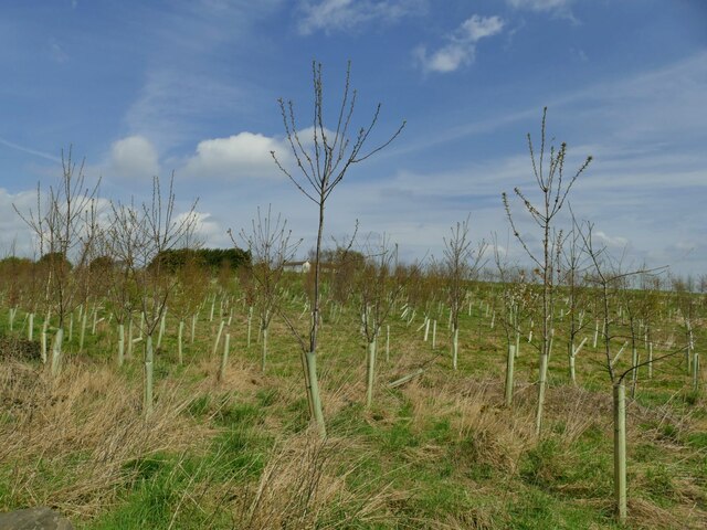
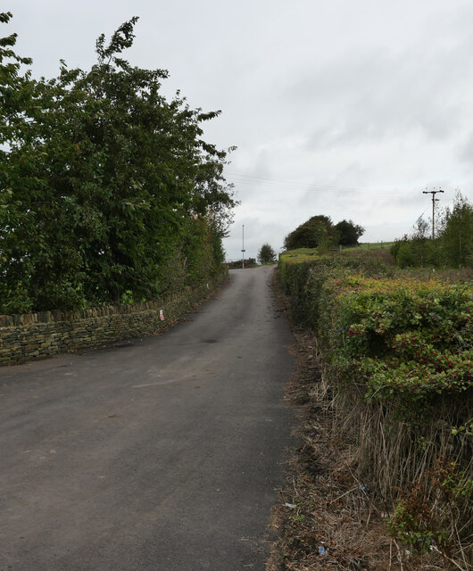
Carr Head Plantation is a picturesque woodland located in Yorkshire, England. Situated near the village of Carr Head, it covers an extensive area of approximately 200 acres. The plantation is renowned for its lush greenery and diverse range of flora and fauna.

The woodland consists primarily of deciduous trees, including oak, beech, and birch, which create a stunning canopy of foliage during the summer months. These trees provide a habitat for a variety of wildlife, such as squirrels, rabbits, and numerous species of birds.

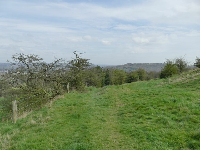
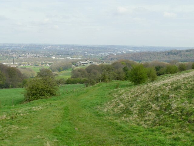
At the heart of Carr Head Plantation lies a network of well-maintained walking trails, which allow visitors to explore the natural beauty of the area. These paths wind through the woodland, offering breathtaking views of the surrounding countryside. The plantation is a popular destination for nature enthusiasts, walkers, and families looking to enjoy a peaceful day out in the countryside.

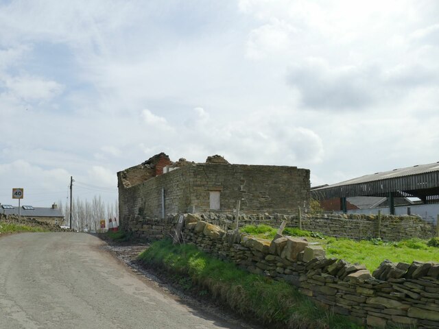
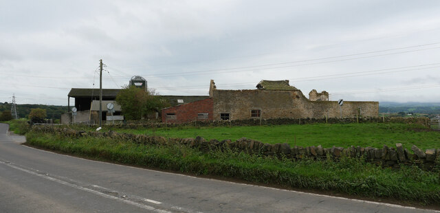
Carr Head Plantation also boasts a rich history, with evidence of human activity dating back centuries. It has been used as a source of timber for local industries and was once part of a larger estate. Today, it is managed by a local conservation group, who work to preserve its natural beauty and protect its wildlife.

In conclusion, Carr Head Plantation is a stunning woodland in Yorkshire, offering visitors the opportunity to immerse themselves in nature and explore its diverse ecosystem. With its beautiful trees, walking trails, and abundant wildlife, it is a true gem of the region.

If you have any feedback on the listing, please let us know in the comments section below.

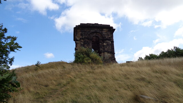
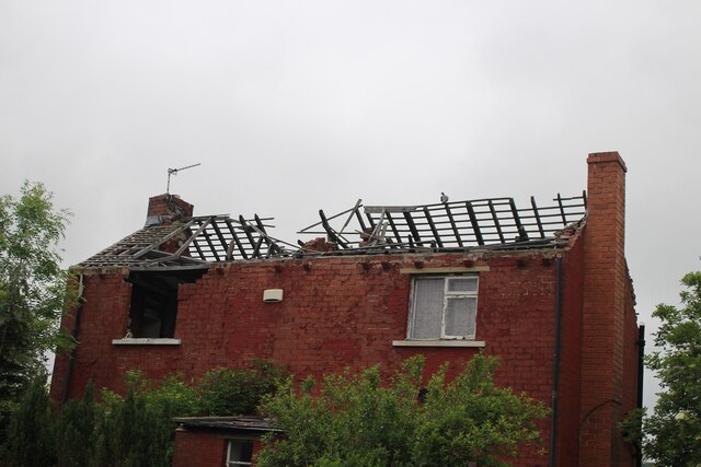
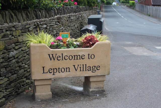
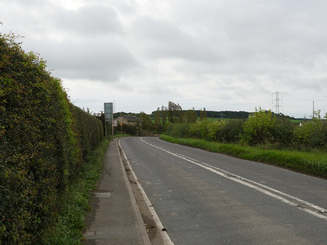
Carr Head Plantation Images

Images are sourced within 2km of 53.642006/-1.6989905 or Grid Reference SE1916. Thanks to Geograph Open Source API. All images are credited.

Bridleway above Hepworth Wood
Hepworth Wood Viewed from a nearby bridleway.
Hepworth Wood
Viewed from a nearby bridleway.
Hollies alongside a bridleway The holly bushes were filled with song thrushes and other small birds responding to the first warm weather of spring.
Hollies alongside a bridleway
The holly bushes were filled with song thrushes and other small birds responding to the first warm weather of spring.
View from Dransfield Hill Looking north-east across the lower Calder Valley.
View from Dransfield Hill
Looking north-east across the lower Calder Valley.
Plantation at Dransfield Hill Farm
Ruined barn on Healey Green Lane Part of Croft Side Farm.
Ruined barn on Healey Green Lane
Part of Croft Side Farm.
Croft Side Farm  Viewed from Healey Green Lane.
Croft Side Farm
Viewed from Healey Green Lane.
Old milestone Prior to 2008 this is what the WRCC milestone, 9 miles from Wakefield, opposite the White Horse PH, now Bar 319, looked like.   It was uplifted by Kirklees Council together with the milestone a mile nearer Huddersfield.   It was repaired by having the whole of the left face replaced.   By 2012 it was set back up but at the Wakefield 10 mile point!
Old milestone
Prior to 2008 this is what the WRCC milestone, 9 miles from Wakefield, opposite the White Horse PH, now Bar 319, looked like. It was uplifted by Kirklees Council together with the milestone a mile nearer Huddersfield. It was repaired by having the whole of the left face replaced. By 2012 it was set back up but at the Wakefield 10 mile point!
Old milestone By 2012 the milestones Wakefield 9 and 10 were set back up.   This one had been very sunken and a mile nearer Huddersfield.   A new backing stone was made from a shaped coping stone from a wall top and is larger than the original.  The milestone is now leaning backwards slightly. This says Huddersfield 3¼ but there will be an extra mile to go if you are walking or cycling!   Grade II listed 1184132.
Old milestone
By 2012 the milestones Wakefield 9 and 10 were set back up. This one had been very sunken and a mile nearer Huddersfield. A new backing stone was made from a shaped coping stone from a wall top and is larger than the original. The milestone is now leaning backwards slightly. This says Huddersfield 3¼ but there will be an extra mile to go if you are walking or cycling! Grade II listed 1184132.
The Temple on the crest of the hill A gazebo for the demolished Whitley Hall
The Temple on the crest of the hill
A gazebo for the demolished Whitley Hall
Derelict building Been derelict for a few years now.
Derelict building
Been derelict for a few years now.
New village sign Not a sign for a new village, but a new sign for an old village.
New village sign
Not a sign for a new village, but a new sign for an old village.
Liley Lane (B6118), Kirkheaton
Bridleway from Liley Lane to Newhall (KIR/158/10), Kirkheaton
Derelict buildings on Healey Green Lane seen from Liley Lane (B6118), Kirkheaton
Healey Green Lane, Kirkheaton
Derelict Buildings, Croft Side, Liley Lane (B6118), Kirkheaton
Liley Lane (B6118), Kirkheaton
Show me another place!

Carr Head Plantation is located at Grid Ref: SE1916 (Lat: 53.642006, Lng: -1.6989905)

Division: West Riding

Unitary Authority: Kirklees

Police Authority: West Yorkshire

What 3 Words

///proposals.fork.grouping. Near Mirfield, West Yorkshire

Related Wikis

Whitley Beaumont

Whitley Beaumont was an estate in the county of West Yorkshire, England, near Huddersfield. Whitley Hall (now demolished) was the seat of the Beaumont...

Lepton, West Yorkshire

Lepton is a village near Huddersfield in the parish of Kirkburton, in the Kirklees district of West Yorkshire, England. It is 4.25 miles (7 km) to the...

Gawthorpe, Kirklees

Gawthorpe, also known as Gawthorp, is a hamlet in the Kirklees district, in the English county of West Yorkshire, about 4 miles (6 km) east of Huddersfield...

Fenay Bridge and Lepton railway station

Fenay Bridge and Lepton railway station served the villages of Lepton and Fenay Bridge, West Riding of Yorkshire, England, from 1867 to 1965 on the Kirkburton...

Nearby Amenities

Located within 500m of 53.642006,-1.6989905
Bus Stop
Botany Lane Lucy Lane
Local Ref: 45020685
Naptan AtcoCode: 450020685
Naptan Bearing: N
Naptan CommonName: Botany Lane Lucy Lane
Naptan Crossing: Twixt Addle Croft Lane - Town Gate
Naptan Indicator: Stop 45020685
Naptan PlusbusZoneRef: LEEDS
Naptan ShortCommonName: Town Gate
Naptan Street: Botany Lane
Naptan Verified: no
Source: naptan_import
Lat/Long: 53.6408892/-1.7058948
Power: pole
Lat/Long: 53.6417253/-1.7062143
Power: pole
Lat/Long: 53.6428568/-1.7049243
Power: pole
Lat/Long: 53.6439298/-1.7037067
Power: pole
Lat/Long: 53.6449871/-1.7025088
Power: pole
Lat/Long: 53.6458844/-1.7004026
Power: pole
Lat/Long: 53.6462434/-1.6995931
Power: pole
Lat/Long: 53.6410019/-1.7052067
Power: pole
Lat/Long: 53.6414459/-1.7053014
Power: pole
Lat/Long: 53.6421324/-1.7054607
Power: pole
Lat/Long: 53.6428113/-1.70531
Power: pole
Lat/Long: 53.643314/-1.705465
Power: pole
Lat/Long: 53.6440668/-1.7057362
Power: pole
Lat/Long: 53.6441408/-1.7043501
Power: pole
Lat/Long: 53.6442071/-1.7033212
Power: pole
Lat/Long: 53.6442607/-1.7023828
Power: pole
Lat/Long: 53.6443322/-1.7013195
Power: pole
Lat/Long: 53.6448859/-1.701199
The data included in this document is from www.openstreetmap.org. The data is made available under ODbL.

Have you been to Carr Head Plantation?

Leave your review of Carr Head Plantation below (or comments, questions and feedback).