Stockley Fell Plantation
Wood, Forest in Durham
England
Stockley Fell Plantation

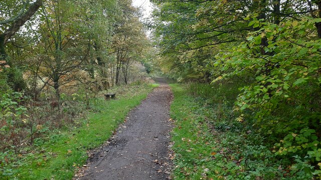
Stockley Fell Plantation is a woodland located in Durham, England. Covering an area of approximately 200 acres, it is situated in the northeastern part of the county, near the village of Hamsterley. The plantation is part of the larger Hamsterley Forest, which spans over 2,000 hectares.
Stockley Fell Plantation is predominantly composed of coniferous trees, with species such as Scots pine and Norway spruce being prevalent. These trees provide a dense canopy, creating a shaded and peaceful environment within the woodland. The plantation also features some broadleaf trees, including oak and birch, which add diversity to the ecosystem.
The woodland is managed by the Forestry Commission, and as such, it serves multiple purposes. It is primarily used for timber production, with regular tree harvesting taking place to ensure a sustainable supply of wood. Additionally, Stockley Fell Plantation offers recreational opportunities for visitors. It has a network of well-maintained trails, making it popular among walkers, cyclists, and horse riders. There are also designated picnic areas and viewpoints for visitors to enjoy the natural beauty of the surroundings.
The plantation is home to various wildlife species, including deer, squirrels, and a variety of birds. Birdwatchers can often spot species such as woodpeckers and owls within the woodland. The Forestry Commission actively manages the plantation to promote biodiversity, creating habitats for a wide range of flora and fauna.
Overall, Stockley Fell Plantation is a well-managed woodland that provides both economic and recreational benefits to the local community and visitors. Its dense coniferous trees, diverse wildlife, and well-maintained trails make it an attractive destination for nature enthusiasts and outdoor enthusiasts alike.
If you have any feedback on the listing, please let us know in the comments section below.
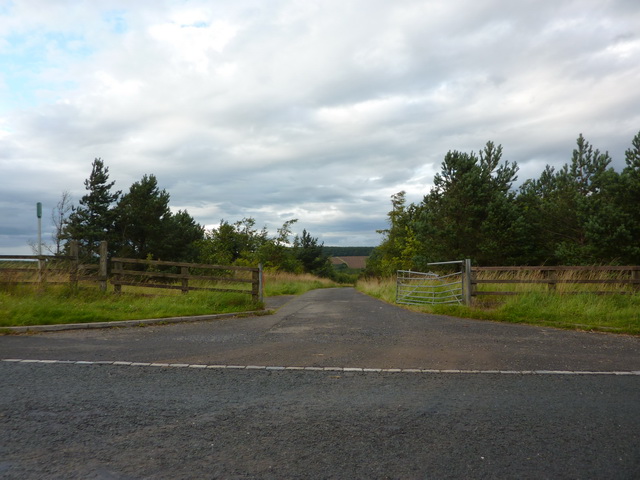
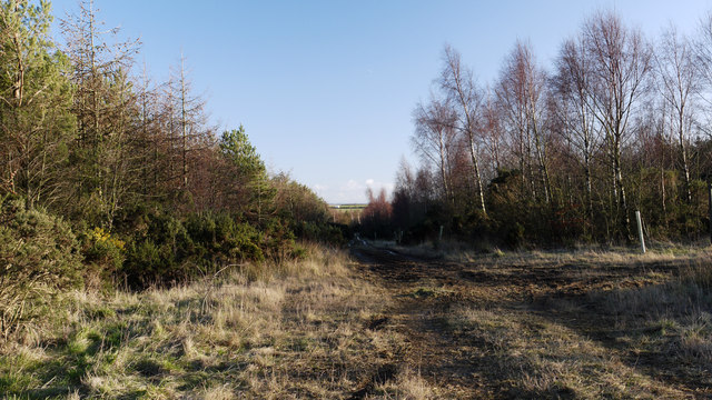
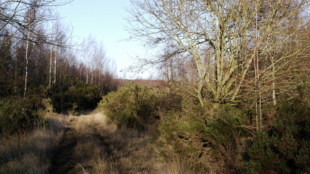
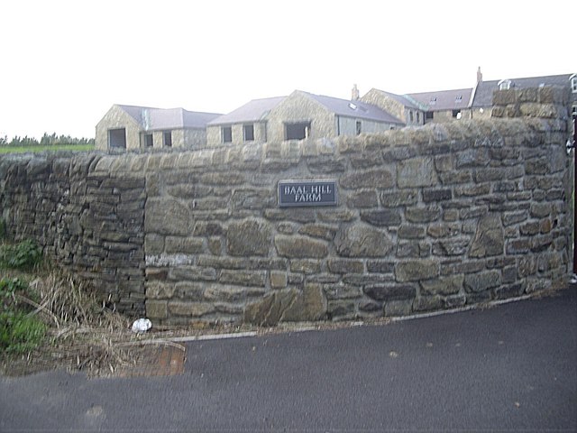
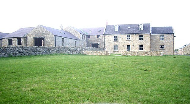
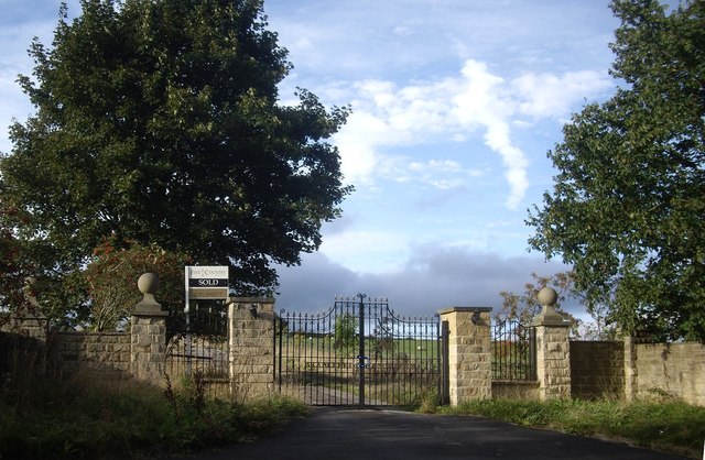
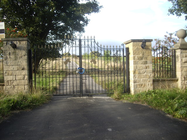
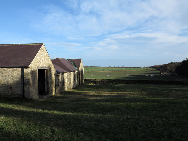
Stockley Fell Plantation Images
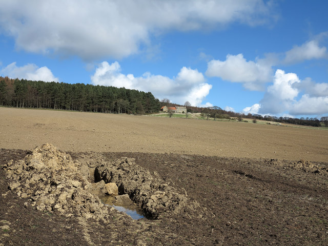
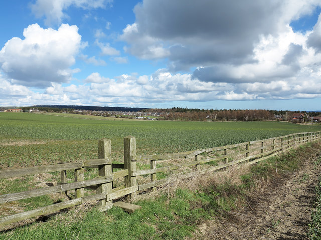
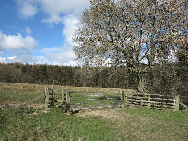
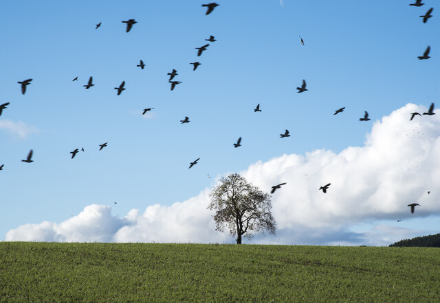
Images are sourced within 2km of 54.736104/-1.6909892 or Grid Reference NZ1937. Thanks to Geograph Open Source API. All images are credited.


Stockley Fell Plantation is located at Grid Ref: NZ1937 (Lat: 54.736104, Lng: -1.6909892)
Unitary Authority: County Durham
Police Authority: Durham
What 3 Words
///bets.headrest.reset. Near Willington, Co. Durham
Nearby Locations
Related Wikis

Oakenshaw, County Durham
Oakenshaw is a village in County Durham, in England. It is situated to the north of Willington. In the 2001 census Oakenshaw had a population of 470.The...
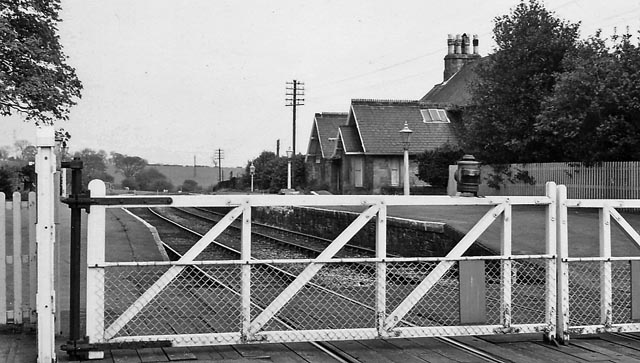
Brancepeth railway station
Brancepeth railway station served the village of Brancepeth, County Durham, North East England from 1857 to 1964 on the Durham to Bishop Auckland Line...

Brancepeth Castle
Brancepeth Castle is a castle in the village of Brancepeth in County Durham, England, some 5 miles south-west of the city of Durham (grid reference NZ223377...
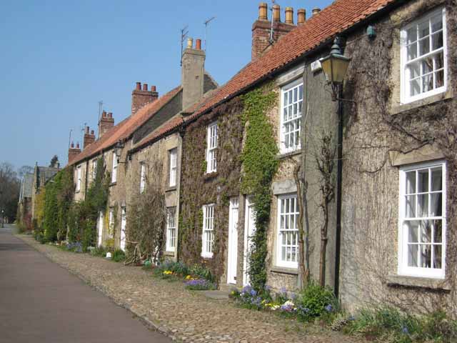
Brancepeth
Brancepeth is a village and civil parish in County Durham, in England. It is situated about 8 km (5 mi) from Durham on the A690 road between Durham and...
Nearby Amenities
Located within 500m of 54.736104,-1.6909892Have you been to Stockley Fell Plantation?
Leave your review of Stockley Fell Plantation below (or comments, questions and feedback).