Snitterfield Bushes
Wood, Forest in Warwickshire Stratford-on-Avon
England
Snitterfield Bushes
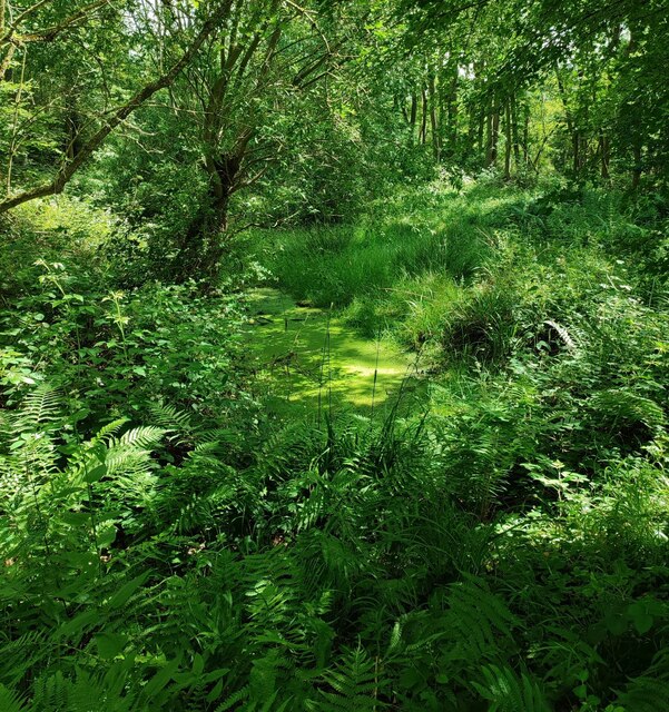
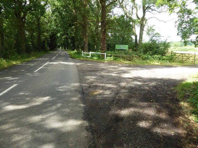
Snitterfield Bushes is a picturesque woodland located in the county of Warwickshire, England. Situated near the village of Snitterfield, it covers an area of approximately 32 hectares. The woodland primarily consists of broad-leaved trees, creating a diverse and enchanting habitat for various flora and fauna.
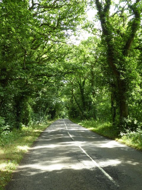
The woodland is home to a wide range of tree species, including oak, ash, birch, and beech trees. These towering giants form a dense canopy, blanketing the forest floor and creating a shaded and tranquil environment. Underneath the canopy, a rich undergrowth of ferns, wildflowers, and mosses can be found, adding to the natural beauty of the area.
Snitterfield Bushes is renowned for its biodiversity, attracting a plethora of wildlife. The woodland provides a sanctuary for numerous bird species, such as woodpeckers, thrushes, and warblers, which find shelter among the trees. Additionally, small mammals like squirrels and rabbits can be spotted darting through the undergrowth.
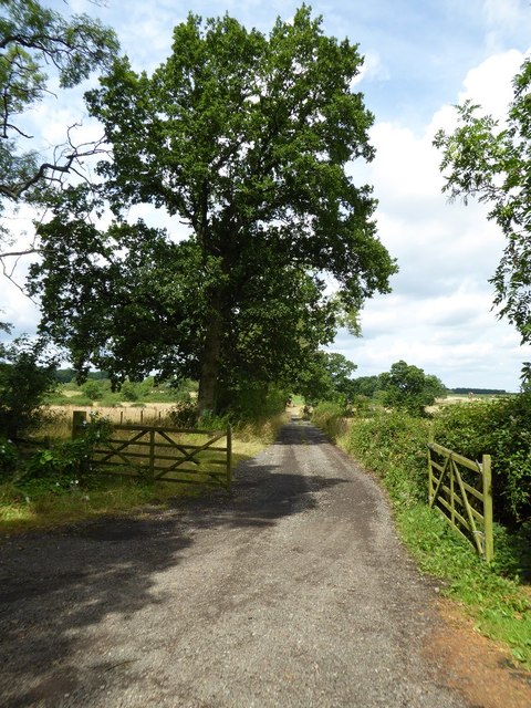
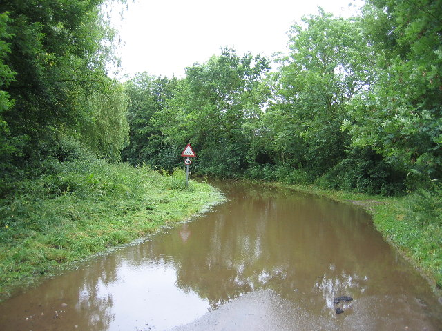
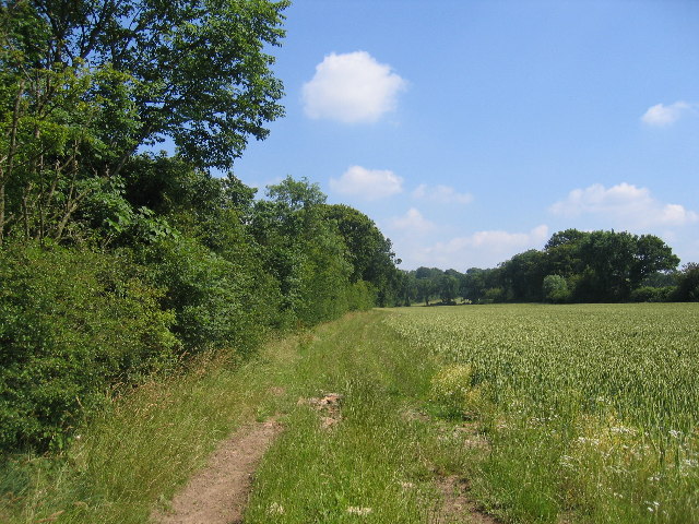
The woodland also boasts a network of well-maintained footpaths, allowing visitors to explore its beauty and serenity. These paths wind through the trees, offering glimpses of the surrounding countryside and providing opportunities for peaceful walks and nature appreciation.
Snitterfield Bushes is not only a haven for wildlife enthusiasts and nature lovers but also a significant part of the local heritage. It has been protected and managed by various conservation organizations to ensure its preservation for future generations. This woodland gem is a testament to the natural beauty of Warwickshire's countryside and a must-visit destination for those seeking tranquility and a connection with nature.
If you have any feedback on the listing, please let us know in the comments section below.
Snitterfield Bushes Images
Images are sourced within 2km of 52.243423/-1.7086377 or Grid Reference SP1960. Thanks to Geograph Open Source API. All images are credited.


Snitterfield Bushes is located at Grid Ref: SP1960 (Lat: 52.243423, Lng: -1.7086377)
Administrative County: Warwickshire
District: Stratford-on-Avon
Police Authority: Warwickshire
What 3 Words
///destroyer.legroom.atomic. Near Wilmcote, Warwickshire
Nearby Locations
Related Wikis

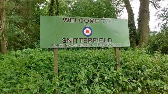
RAF Snitterfield
RAF Snitterfield is a former Royal Air Force satellite station located west of Snitterfield, Warwickshire, England, 3.3 miles (5.3 km) north of Stratford...

Snitterfield
Snitterfield is a village and civil parish in the Stratford on Avon district of Warwickshire, England, less than 1 mile (1.6 km) to the north of the A46...

Bearley
Bearley is a village and civil parish in the Stratford-on-Avon district of Warwickshire, England. The village is about five miles (8 km) north of Stratford...

Wolverton, Warwickshire
Wolverton is a village and civil parish in the Stratford-on-Avon District of Warwickshire, England. The population at the 2011 census was 212. == Heritage... ==
Nearby Amenities
Located within 500m of 52.243423,-1.7086377Have you been to Snitterfield Bushes?
Leave your review of Snitterfield Bushes below (or comments, questions and feedback).