Ash Hill Covert
Wood, Forest in Warwickshire Stratford-on-Avon
England
Ash Hill Covert
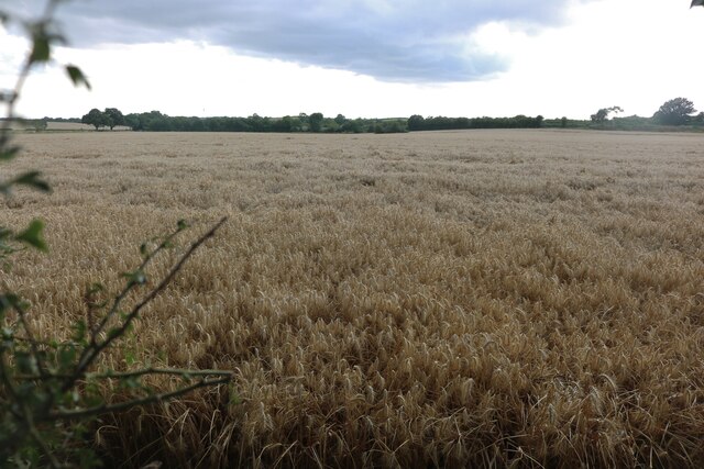
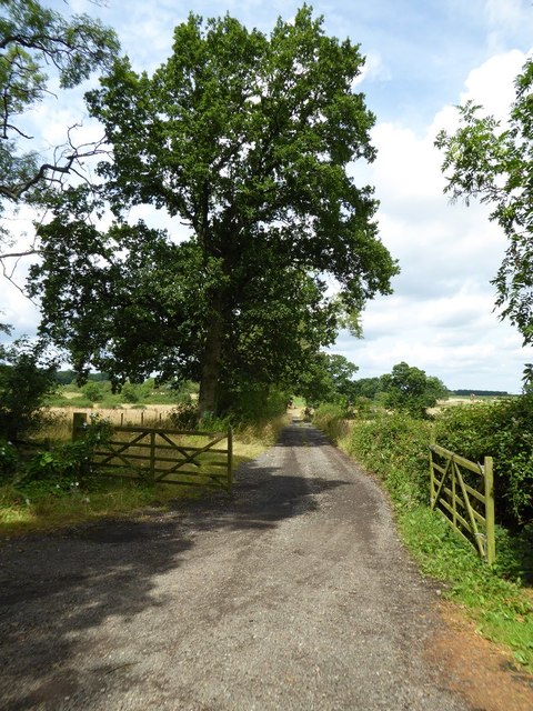
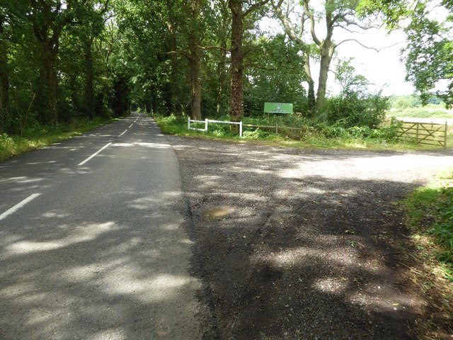
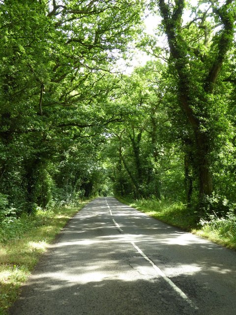
Ash Hill Covert is a picturesque woodland located in Warwickshire, England. Known for its natural beauty and tranquil atmosphere, it covers an area of approximately 50 acres. Situated near the village of Ash Hill, the covert is a popular destination for nature enthusiasts and those seeking a peaceful retreat.
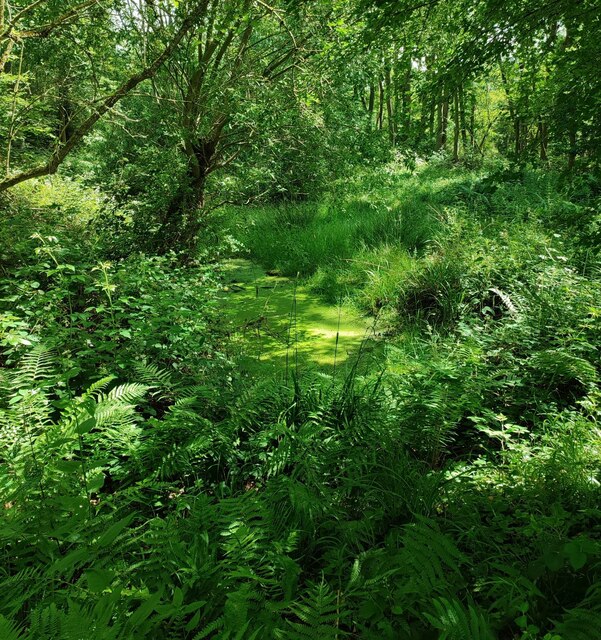
The woodland is primarily composed of native broadleaf trees, including oak, ash, and beech. These towering trees create a dense canopy that provides shade and shelter to a wide variety of flora and fauna. Bluebells, primroses, and wood anemones carpet the forest floor during the spring, adding vibrant splashes of color to the landscape.
Ash Hill Covert also boasts a diverse range of wildlife. Visitors may catch a glimpse of deer, foxes, badgers, and an array of bird species, including woodpeckers, owls, and songbirds. The woodland's peaceful ambiance and abundance of food sources make it an ideal habitat for these creatures.
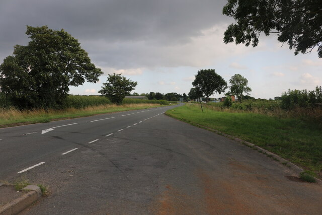
The woodland is crisscrossed with numerous footpaths and trails, allowing visitors to explore its enchanting beauty on foot. These paths wind through the trees, offering breathtaking views and opportunities for wildlife spotting. The tranquility of the covert makes it a perfect place for activities such as walking, jogging, or simply immersing oneself in nature.
Overall, Ash Hill Covert is a treasured natural gem in Warwickshire. Its ancient trees, diverse wildlife, and serene atmosphere make it a haven for both nature enthusiasts and those seeking solace in the great outdoors.
If you have any feedback on the listing, please let us know in the comments section below.
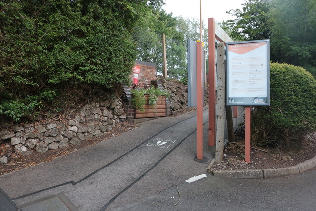
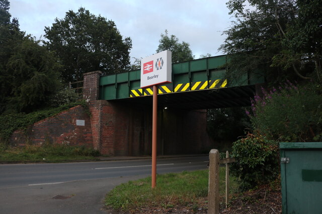
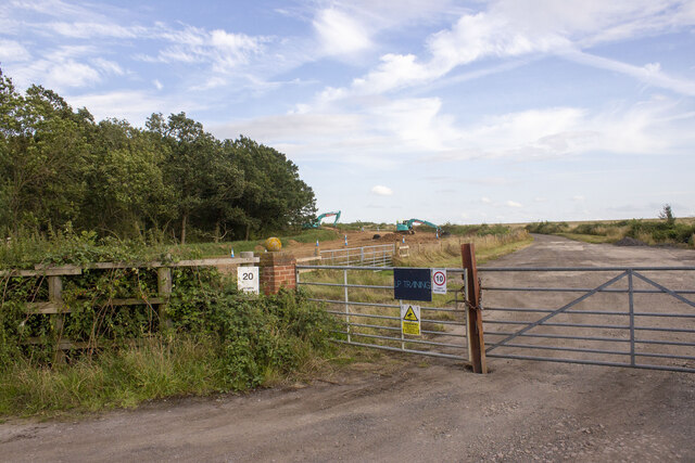
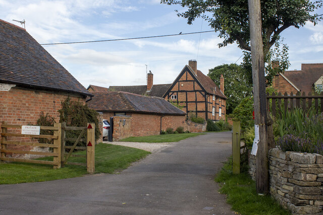
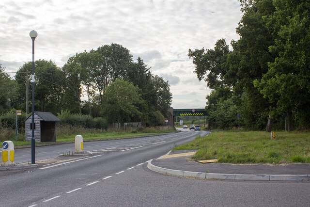
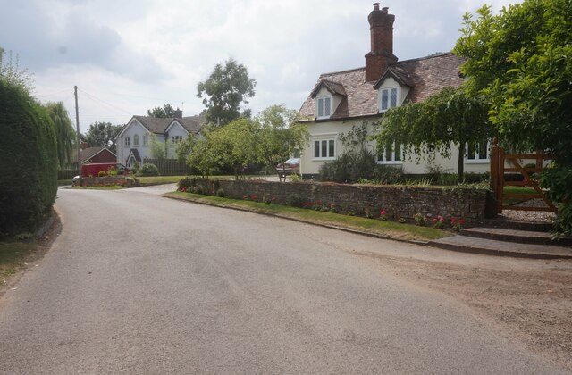
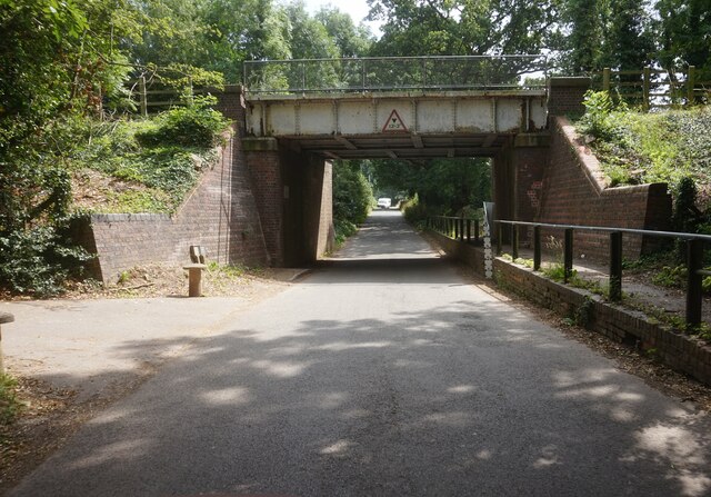
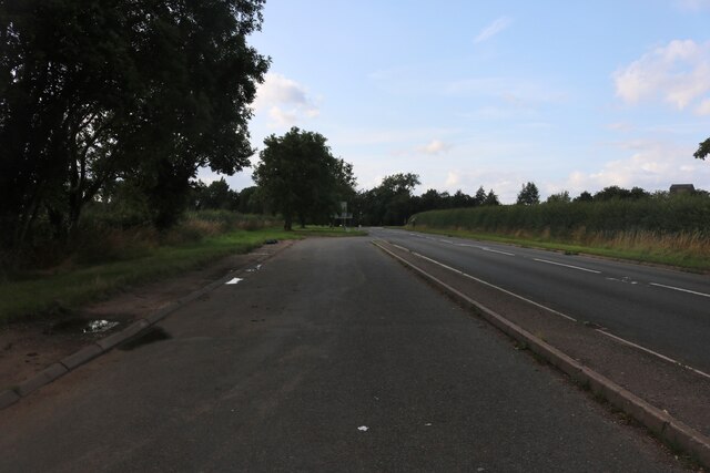
Ash Hill Covert Images
Images are sourced within 2km of 52.245187/-1.7202846 or Grid Reference SP1960. Thanks to Geograph Open Source API. All images are credited.
Ash Hill Covert is located at Grid Ref: SP1960 (Lat: 52.245187, Lng: -1.7202846)
Administrative County: Warwickshire
District: Stratford-on-Avon
Police Authority: Warwickshire
What 3 Words
///stacks.flip.strictest. Near Wilmcote, Warwickshire
Nearby Locations
Related Wikis

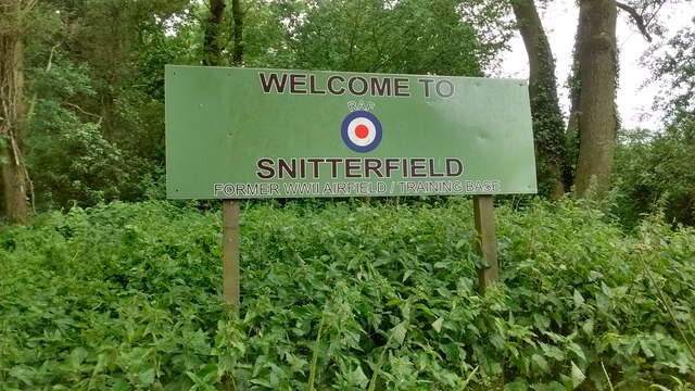
RAF Snitterfield
RAF Snitterfield is a former Royal Air Force satellite station located west of Snitterfield, Warwickshire, England, 3.3 miles (5.3 km) north of Stratford...

Bearley
Bearley is a village and civil parish in the Stratford-on-Avon district of Warwickshire, England. The village is about five miles (8 km) north of Stratford...

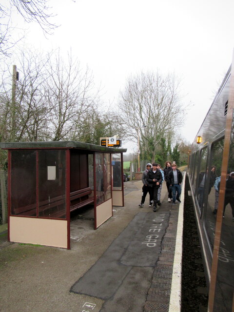
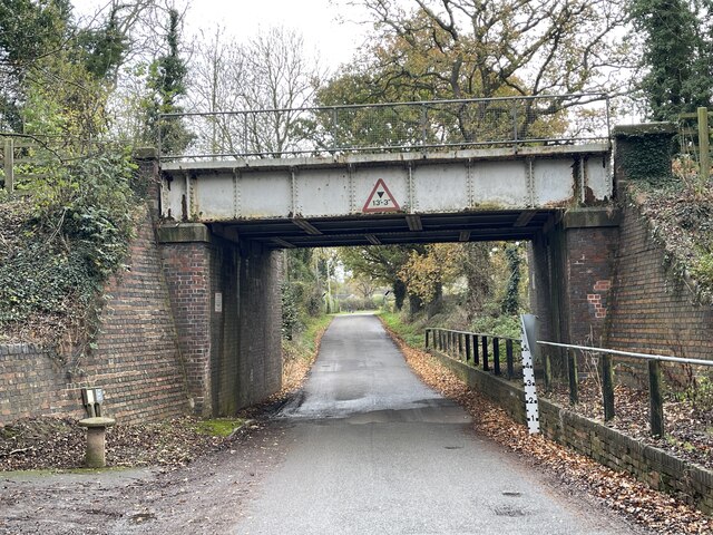
Bearley railway station
Bearley railway station serves the village of Bearley in South Warwickshire, England. It is on the Leamington–Stratford line. Today it is an unstaffed...

Wolverton, Warwickshire
Wolverton is a village in the Stratford-on-Avon District of Warwickshire, England. The population at the 2011 census was 212. == Heritage == Roman artefacts...
Stratford Armouries
Stratford Armouries is a small museum attached to the Stratford-upon-Avon Lodge Retreat, a hotel offering cabin-based accommodation located near to the...

Snitterfield
Snitterfield is a village and civil parish in the Stratford on Avon district of Warwickshire, England, less than 1 mile (1.6 km) to the north of the A46...

Langley, Warwickshire
Langley is a village and civil parish in the Stratford-on-Avon district of Warwickshire, England. The village is about 6 miles (10 km) west from the county...
Pathlow, Warwickshire
Pathlow is a hamlet in the English county of Warwickshire. Pathlow lies to the east of the village of Wilmcote (where the population is included) some...
Nearby Amenities
Located within 500m of 52.245187,-1.7202846Have you been to Ash Hill Covert?
Leave your review of Ash Hill Covert below (or comments, questions and feedback).