Snitterfield Bushes
Wood, Forest in Warwickshire Stratford-on-Avon
England
Snitterfield Bushes
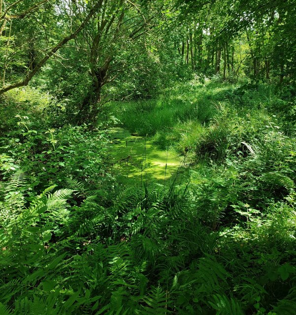
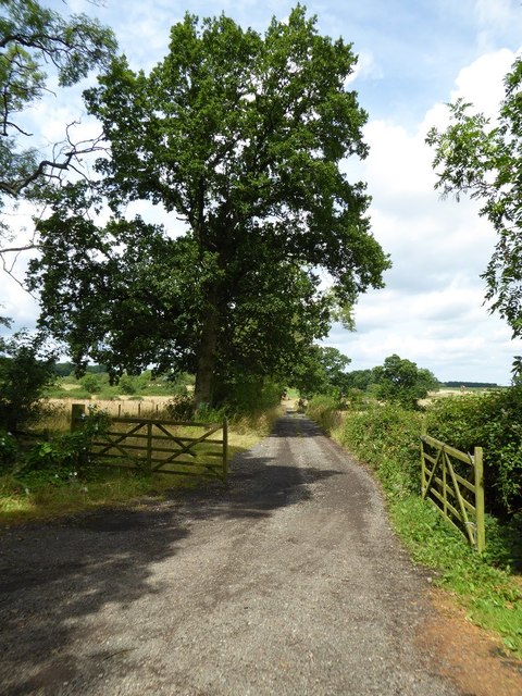
Snitterfield Bushes is a woodland area located in Warwickshire, England. Situated near the village of Snitterfield, it covers an approximate area of 18 hectares. The site is a designated Site of Special Scientific Interest (SSSI) due to its ecological significance and rich biodiversity.
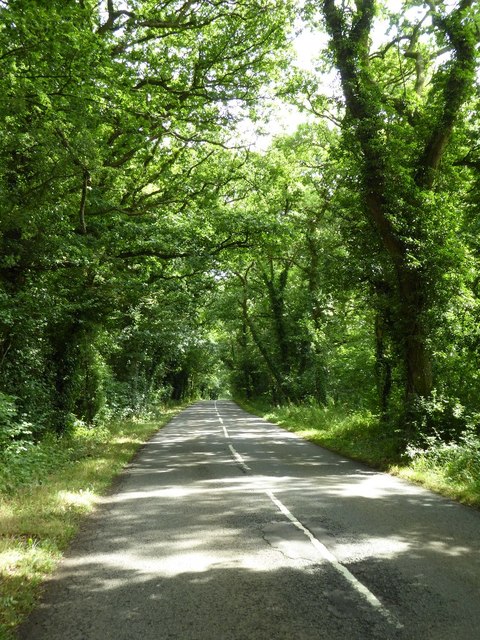
The woodland is composed of mixed deciduous trees, including oak, ash, birch, and beech. The dense canopy provides a habitat for a variety of bird species, such as woodpeckers, owls, and songbirds. The undergrowth consists of ferns, mosses, and wildflowers, contributing to the diverse flora of the area.
Snitterfield Bushes also includes a small stream that meanders through the woodland, enhancing its natural beauty and fostering a thriving ecosystem. The stream supports a range of aquatic life, including frogs, newts, and insects.
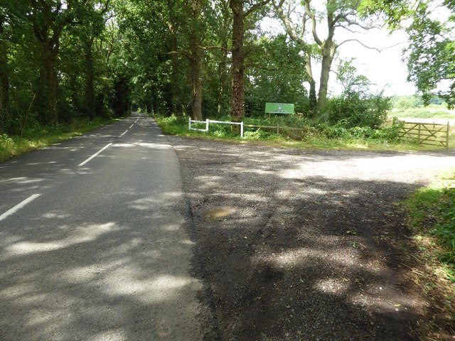
The area is popular among nature enthusiasts, walkers, and birdwatchers, who can explore the network of footpaths that wind through the woods. These paths offer opportunities to observe wildlife and enjoy the peaceful surroundings.
Snitterfield Bushes is managed by local conservation organizations and volunteers who carry out conservation work, ensuring the preservation of the woodland's unique ecosystem. They conduct regular surveys to monitor the health of the flora and fauna, and undertake measures to control invasive species and maintain the habitat.
Overall, Snitterfield Bushes is a beautiful and ecologically important woodland, providing a haven for wildlife and offering visitors a tranquil and immersive experience in nature.
If you have any feedback on the listing, please let us know in the comments section below.
Snitterfield Bushes Images
Images are sourced within 2km of 52.245853/-1.7208809 or Grid Reference SP1960. Thanks to Geograph Open Source API. All images are credited.


Snitterfield Bushes is located at Grid Ref: SP1960 (Lat: 52.245853, Lng: -1.7208809)
Administrative County: Warwickshire
District: Stratford-on-Avon
Police Authority: Warwickshire
What 3 Words
///coconuts.deferring.garlic. Near Wilmcote, Warwickshire
Nearby Locations
Related Wikis

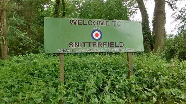
RAF Snitterfield
RAF Snitterfield is a former Royal Air Force satellite station located west of Snitterfield, Warwickshire, England, 3.3 miles (5.3 km) north of Stratford...

Bearley
Bearley is a village and civil parish in the Stratford-on-Avon district of Warwickshire, England. The village is about five miles (8 km) north of Stratford...

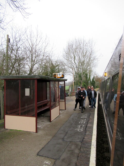
Bearley railway station
Bearley railway station serves the village of Bearley in South Warwickshire, England. It is on the Leamington–Stratford line. Today it is an unstaffed...

Wolverton, Warwickshire
Wolverton is a village and civil parish in the Stratford-on-Avon District of Warwickshire, England. The population at the 2011 census was 212. == Heritage... ==
Nearby Amenities
Located within 500m of 52.245853,-1.7208809Have you been to Snitterfield Bushes?
Leave your review of Snitterfield Bushes below (or comments, questions and feedback).