Colburn Moor
Wood, Forest in Yorkshire Richmondshire
England
Colburn Moor
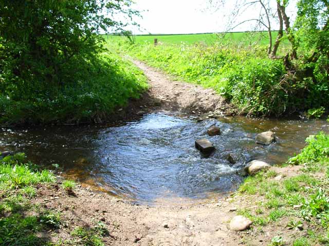
Colburn Moor is a picturesque area located in the county of Yorkshire, England. Situated in the heart of the Wood area, it is renowned for its stunning woodland and forest landscapes. Covering a vast expanse of approximately 200 acres, Colburn Moor offers a tranquil and serene environment for nature enthusiasts and outdoor lovers.
The moor is characterized by a diverse range of trees, including oak, birch, and beech, which create a captivating canopy of foliage throughout the year. The forest is home to an abundance of wildlife, including deer, foxes, and a variety of bird species, making it a popular spot for birdwatching and wildlife photography.
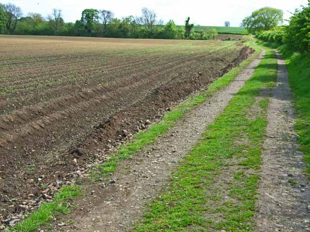
The terrain of Colburn Moor is mostly rugged and hilly, providing numerous opportunities for hiking and walking trails. Its well-maintained footpaths allow visitors to explore and immerse themselves in the peaceful surroundings, while also providing breathtaking views of the surrounding countryside.
In addition to its natural beauty, Colburn Moor boasts several amenities and facilities for visitors. There are designated picnic areas and benches where visitors can relax and enjoy a meal amidst the stunning scenery. Furthermore, the moor is equipped with car parking facilities, making it easily accessible for day trips and outings.
Colburn Moor, Yorkshire, is a hidden gem that offers a perfect escape from the hustle and bustle of everyday life. With its enchanting woodland, diverse flora and fauna, and beautiful walking trails, it provides a haven for nature lovers and a tranquil retreat for all who visit.
If you have any feedback on the listing, please let us know in the comments section below.
Colburn Moor Images
Images are sourced within 2km of 54.371187/-1.7066012 or Grid Reference SE1997. Thanks to Geograph Open Source API. All images are credited.
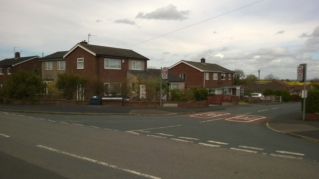
![Catterick Garrison, Vimy Barracks Un-named street [as far as I could see] leading to Queens Avenue.](https://s1.geograph.org.uk/geophotos/02/58/74/2587409_d2c13e24.jpg)
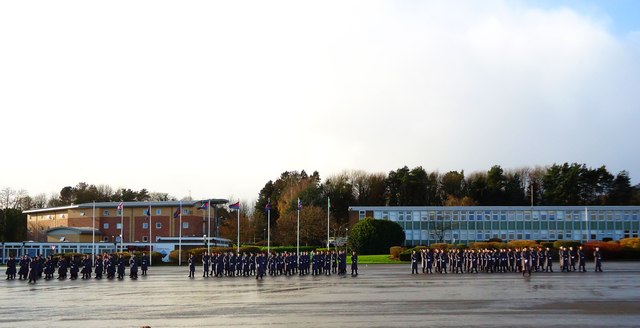
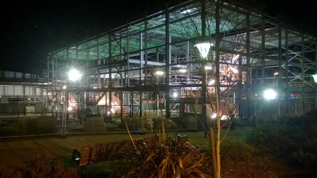
![Catterick Garrison, Vimy Barracks [2] One of the barracks on this very large camp which is part of the Infantry Training Centre. See <span class="nowrap"><a title="http://www.army.mod.uk/training_education/training/18145.aspx" rel="nofollow ugc noopener" href="http://www.army.mod.uk/training_education/training/18145.aspx">Link</a><img style="margin-left:2px;" alt="External link" title="External link - shift click to open in new window" src="https://s1.geograph.org.uk/img/external.png" width="10" height="10"/></span>](https://s2.geograph.org.uk/geophotos/02/58/74/2587418_b65843d3.jpg)
![Catterick Garrison, Vimy Barracks [3] View along Queens Avenue.](https://s3.geograph.org.uk/geophotos/02/58/74/2587423_09ba10bd.jpg)

Colburn Moor is located at Grid Ref: SE1997 (Lat: 54.371187, Lng: -1.7066012)
Division: North Riding
Administrative County: North Yorkshire
District: Richmondshire
Police Authority: North Yorkshire
What 3 Words
///emailed.octagonal.tanked. Near Catterick Garrison, North Yorkshire
Nearby Locations
Related Wikis

Duchess of Kent Military Hospital
The Duchess of Kent Military Hospital was an army hospital and nurse training facility in Catterick Garrison, North Yorkshire, England. == History... ==

A6136 road
The A6136 is a 4 digit A road in North Yorkshire, England. It runs between the A6108 Queen's Road, in the market town of Richmond, before terminating on...
Catterick Camp railway station
Catterick Camp railway station was a railway station in what is now the Richmondshire district of North Yorkshire, England. It was built as the terminus...
Risedale School
Risedale School (formerly Risedale Sports and Community College) is a coeducational secondary school situated in Hipswell, Catterick Garrison, North Yorkshire...
Garrison FM
Garrison FM was a network of radio stations in the United Kingdom serving British Army bases around the country between 2001 and 2013. The stations broadcast...

Catterick Garrison
Catterick Garrison is a major garrison and military town 3 miles (5 km) south of Richmond, North Yorkshire, England. It is the largest British Army garrison...
Army Ground, Catterick
The Army Ground was a cricket ground in Catterick Garrison, North Yorkshire. The Garrison was established in 1914 and construction of a cricket ground...

Hipswell
Hipswell is a village and civil parish in the Richmondshire district of North Yorkshire, England. The civil parish mainly comprises the northern part of...
Nearby Amenities
Located within 500m of 54.371187,-1.7066012Have you been to Colburn Moor?
Leave your review of Colburn Moor below (or comments, questions and feedback).