Madgcombe Coppice
Wood, Forest in Warwickshire Stratford-on-Avon
England
Madgcombe Coppice
Madgcombe Coppice is a picturesque woodland located in the county of Warwickshire, England. Covering an area of approximately 20 hectares, it is a beautiful example of an ancient woodland that has been preserved for centuries. The coppice is situated near the village of Madgcombe, and its name is derived from the Old English words "madge" meaning "meadow" and "combe" meaning "valley," reflecting its location in a peaceful and serene setting.
The woodland is predominantly composed of native broadleaf species, such as oak, ash, beech, and birch, which create a diverse and vibrant ecosystem. The dense canopy provides shelter and nesting sites for a variety of bird species, including woodpeckers, thrushes, and owls, making it a popular destination for birdwatchers and nature enthusiasts.
The forest floor is adorned with a rich tapestry of wildflowers, ferns, and mosses, creating a haven for insects, butterflies, and small mammals. Several footpaths wind through the coppice, allowing visitors to explore and immerse themselves in the natural beauty of the woodland. These paths offer opportunities for leisurely walks, jogging, and even horse riding.
Madgcombe Coppice has a rich history and has been managed sustainably for centuries, with traditional woodland management techniques such as coppicing and pollarding being practiced. This has led to a diverse range of habitats within the woodland, providing a home for numerous plant and animal species.
Overall, Madgcombe Coppice is a treasured woodland in Warwickshire, offering tranquility, natural beauty, and the chance to connect with the rich tapestry of the British countryside.
If you have any feedback on the listing, please let us know in the comments section below.
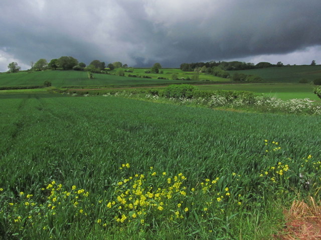
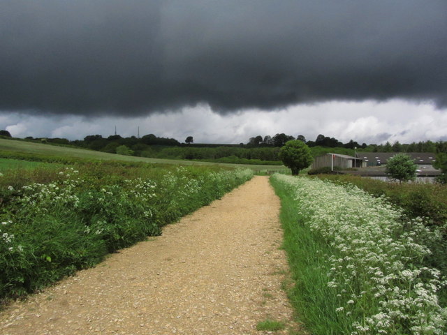
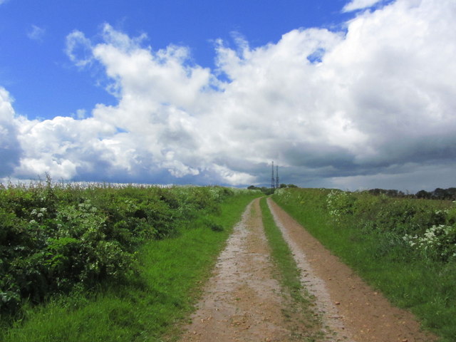
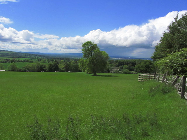
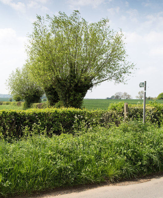
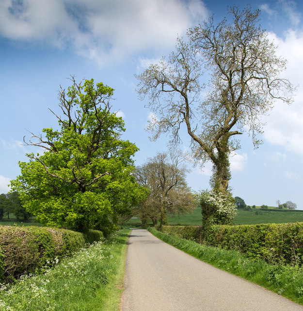
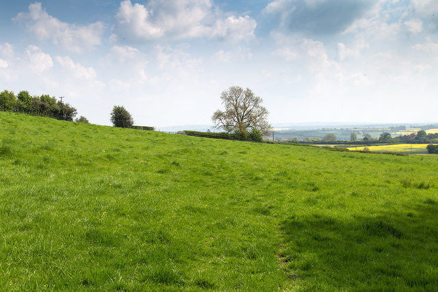
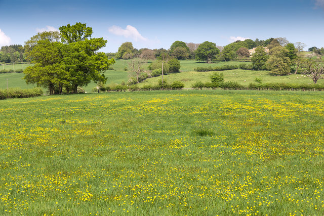
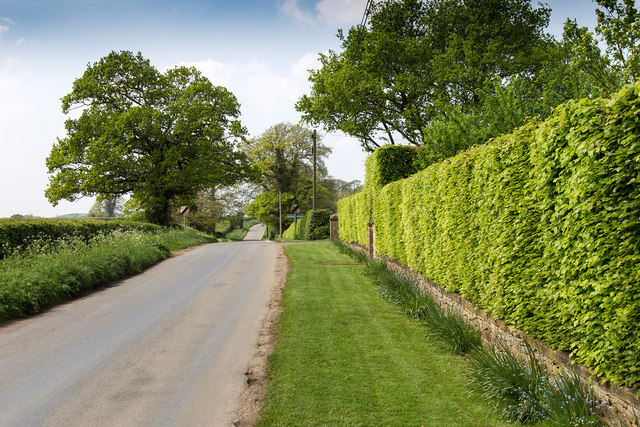
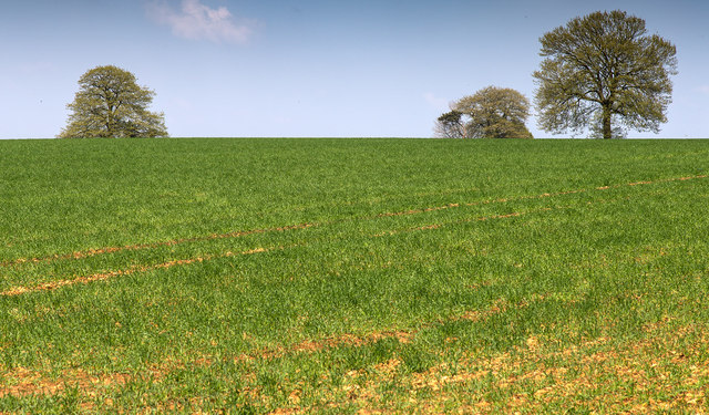
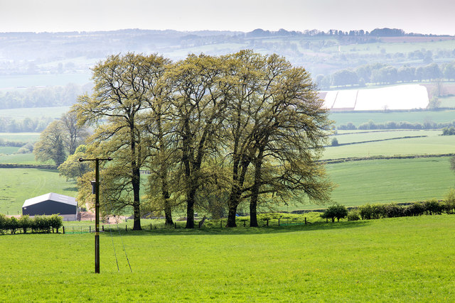
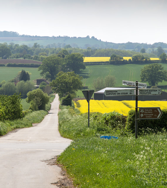
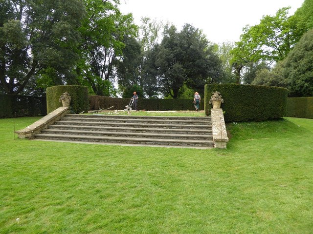
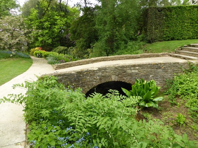
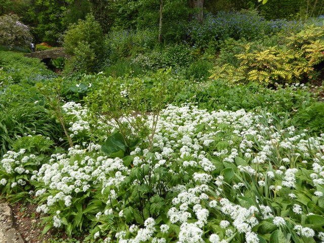
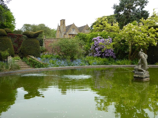
Madgcombe Coppice Images
Images are sourced within 2km of 52.075208/-1.72196 or Grid Reference SP1941. Thanks to Geograph Open Source API. All images are credited.


Madgcombe Coppice is located at Grid Ref: SP1941 (Lat: 52.075208, Lng: -1.72196)
Administrative County: Warwickshire
District: Stratford-on-Avon
Police Authority: Warwickshire
What 3 Words
///jaundice.bulky.smuggled. Near Mickleton, Gloucestershire
Nearby Locations
Related Wikis

Ebrington Hill
Ebrington Hill is a hill in Warwickshire, England, which at 261 m (856 ft) is the highest in the county. It is situated between the villages of Ebrington...
Touch FM (Stratford-upon-Avon)
102 Touch FM was an Independent Local Radio station broadcasting to the town of Stratford-upon-Avon and much of the counties of Warwickshire, Worcestershire...

Ilmington Downs
The Ilmington Downs are a large open area situated in Warwickshire, just above the small village of Ilmington. It is the highest point in Warwickshire...
Hidcote Bartrim
Hidcote Bartrim is a hamlet and former civil parish, now in the parish of Ebrington, in the Cotswold district of Gloucestershire, England. The nearest...
Nearby Amenities
Located within 500m of 52.075208,-1.72196Have you been to Madgcombe Coppice?
Leave your review of Madgcombe Coppice below (or comments, questions and feedback).