Coneybury Wood
Wood, Forest in Warwickshire North Warwickshire
England
Coneybury Wood
Coneybury Wood is a picturesque woodland located in the county of Warwickshire, England. Situated in the heart of the Warwickshire countryside, this ancient forest covers an area of approximately 200 acres, making it a significant natural habitat for a diverse range of flora and fauna.
The wood is characterized by its dense canopy of towering oak, beech, and ash trees, which provide shade and shelter to the numerous woodland creatures that call Coneybury Wood their home. The forest floor is covered in a thick carpet of moss, ferns, and wildflowers, creating a vibrant and enchanting environment.
The wood is crisscrossed by a network of well-maintained footpaths, allowing visitors to explore the forest's beauty at their own pace. As visitors wander through the wood, they may encounter a variety of wildlife, including deer, foxes, badgers, and a plethora of bird species. The tranquil atmosphere and abundance of natural beauty make Coneybury Wood a popular spot for nature enthusiasts, hikers, and families seeking a peaceful escape from the bustle of everyday life.
In addition to its natural wonders, Coneybury Wood also boasts a rich cultural and historical significance. The wood has been a part of Warwickshire's landscape for centuries, and archaeological evidence suggests that it may have been inhabited as far back as the Iron Age. The wood's name itself is thought to derive from the old English word "conig," meaning rabbit, indicating that it was once a prime hunting ground.
Coneybury Wood is a cherished natural treasure in Warwickshire, offering visitors a chance to immerse themselves in the beauty of nature and connect with the rich history of the region.
If you have any feedback on the listing, please let us know in the comments section below.
Coneybury Wood Images
Images are sourced within 2km of 52.574561/-1.7181805 or Grid Reference SP1997. Thanks to Geograph Open Source API. All images are credited.


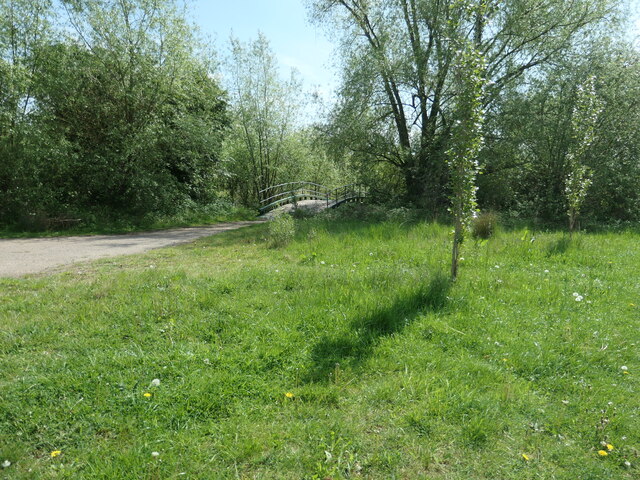
![Bridleway on Fishers Mill Bridge Heading west from the Birmingham &amp; Fazeley canal. It forms the county boundary between Warwickshire [left/south] and Staffordshire [right/north]. Fishers Mill was a water-powered corn mill on the River Tame.](https://s0.geograph.org.uk/geophotos/07/20/92/7209284_7945c07c.jpg)

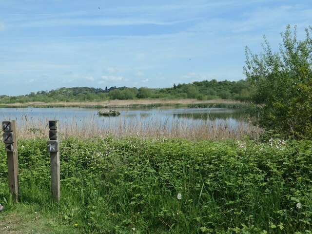

![Flood defence wall at Curdworth Bottom Lock [no 11] Protecting the canalside cottages which are now on a peninsula surrounded by lakes [flooded gravel pits].](https://s2.geograph.org.uk/geophotos/07/20/94/7209486_d87a9ef5.jpg)
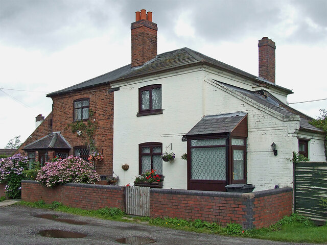
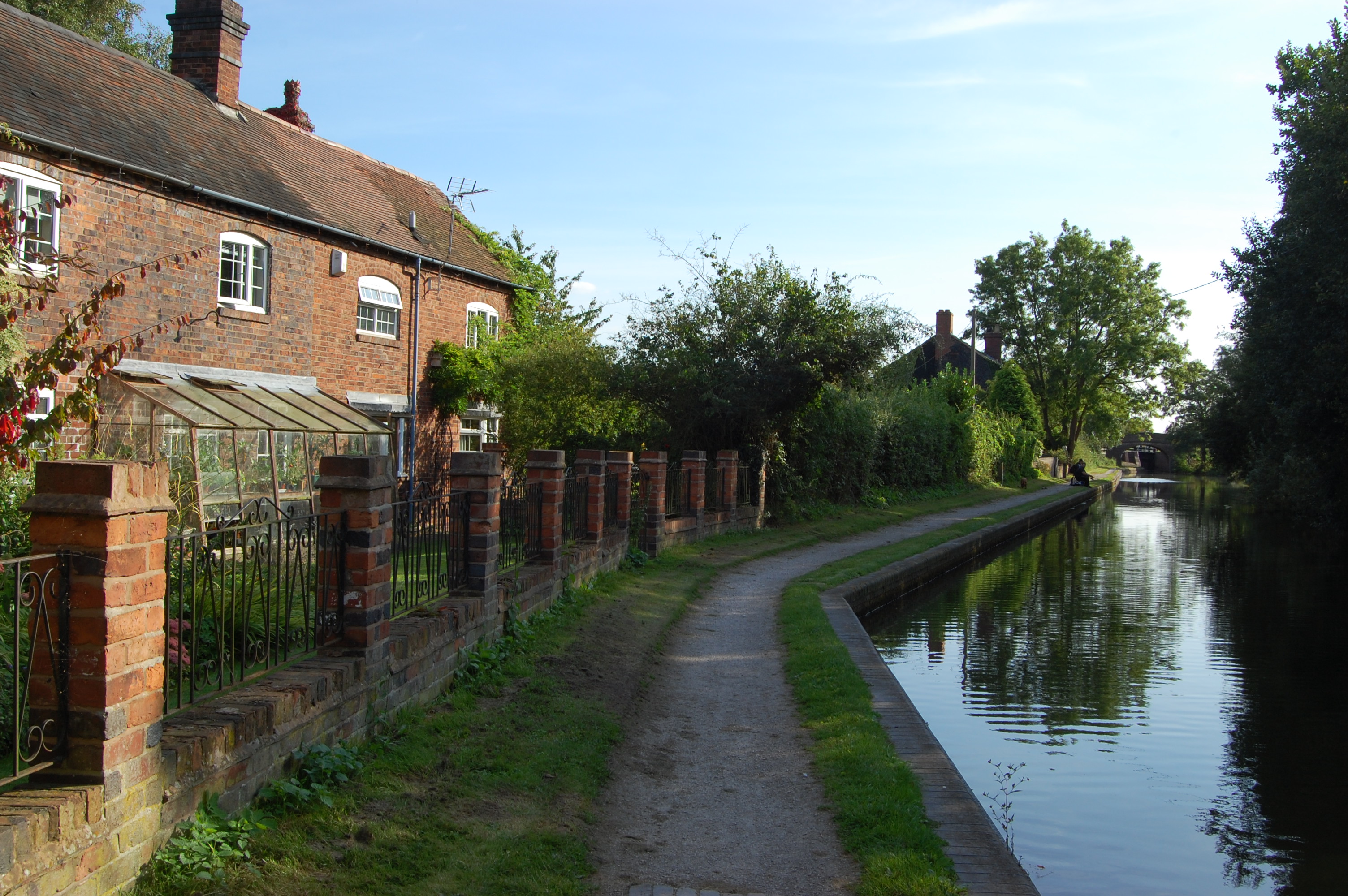
![Pair of BCN houses at Curdworth Bottom Lock On the Birmingham &amp; Fazeley canal, which is part of the BCN [Birmingham Canal Navigations]. All BCN houses are numbered, and the white house is no. 257. This number does not refer to a street, just to the list of BCN houses.](https://s1.geograph.org.uk/geophotos/07/20/94/7209493_dd3aea56.jpg)
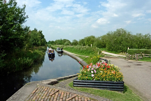
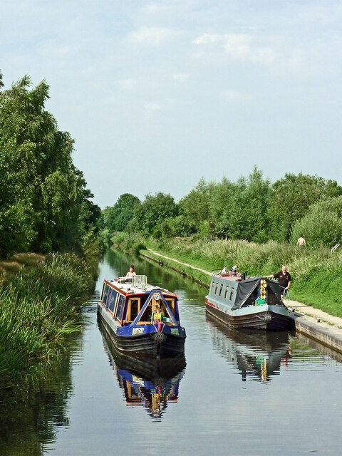
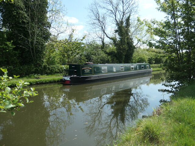
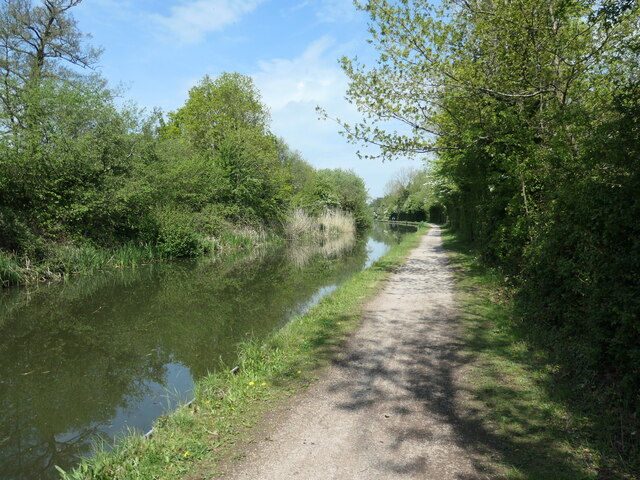
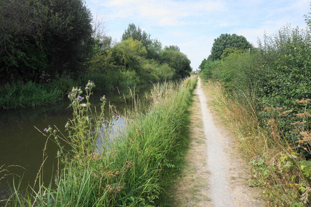
![Birmingham & Fazeley canal towpath Looking south between Curdworth Bottom Lock [no 11] and Common Lock [no 10].](https://s2.geograph.org.uk/geophotos/07/20/94/7209498_c80d4916.jpg)
Coneybury Wood is located at Grid Ref: SP1997 (Lat: 52.574561, Lng: -1.7181805)
Administrative County: Warwickshire
District: North Warwickshire
Police Authority: Warwickshire
What 3 Words
///removers.strapped.proofs. Near Kingsbury, Warwickshire
Nearby Locations
Related Wikis

Bodymoor Heath Training Ground
Bodymoor Heath Training Ground is Aston Villa Football Club's training ground, located at Bodymoor Heath in the North Warwickshire district of Warwickshire...

Middleton Hall, Warwickshire
Middleton Hall (grid reference SP193982) is a Grade II* listed building dating back to medieval times. It is situated in the North Warwickshire district...
Bodymoor Heath
Bodymoor Heath is a small village in the North Warwickshire district of the county of Warwickshire in England, situated on, and with a bridge over, the...

Middleton, Warwickshire
Middleton is a small village in the North Warwickshire district of the county of Warwickshire, England. The population of the civil parish at the 2011...
Nearby Amenities
Located within 500m of 52.574561,-1.7181805Have you been to Coneybury Wood?
Leave your review of Coneybury Wood below (or comments, questions and feedback).