Gawthorpe Green
Downs, Moorland in Yorkshire
England
Gawthorpe Green
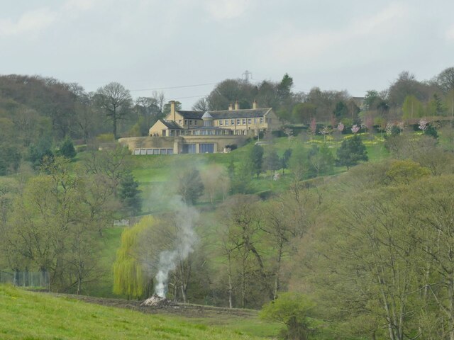
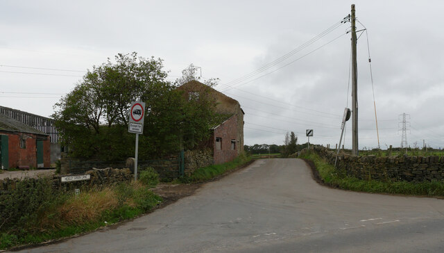
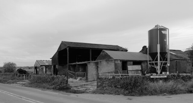
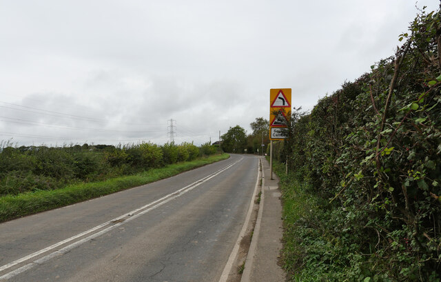
Gawthorpe Green is a picturesque village located in the county of Yorkshire, England. Situated amidst the stunning natural landscapes of the Yorkshire Downs and Moorland, this rural community offers a peaceful and idyllic setting for its residents and visitors alike.
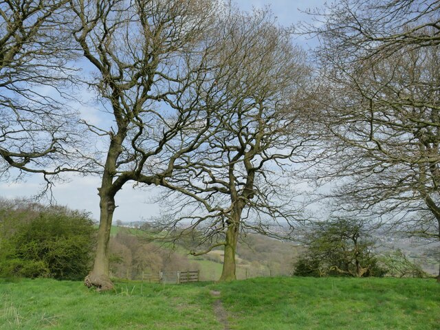
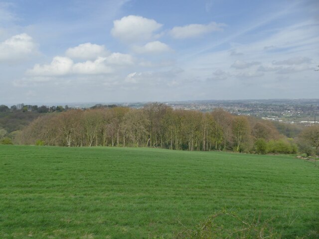
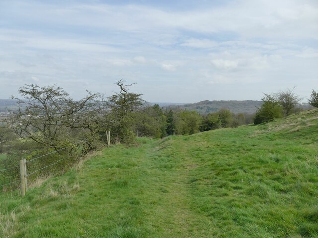
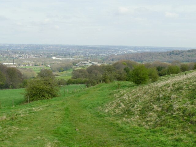
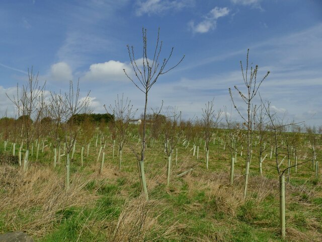
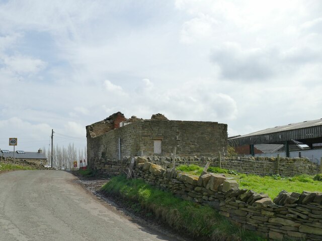
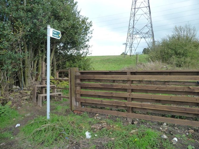
The village is characterized by its charming stone-built houses, which exude a traditional English countryside charm. The surrounding countryside is adorned with lush green fields, rolling hills, and meandering streams, creating a scenic backdrop that is a delight to behold. The Yorkshire Downs, with their vast expanses of open grassland and breathtaking vistas, provide ample opportunities for outdoor activities such as hiking, cycling, and horse riding.
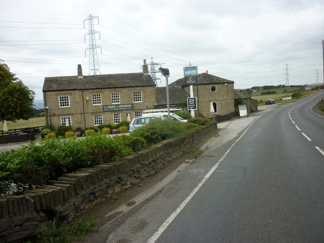
Gawthorpe Green boasts a close-knit community, with friendly and welcoming residents who take pride in their village. The local pub, The Green Man, serves as a hub for social gatherings and is known for its warm atmosphere and hearty pub meals. Additionally, the village has a quaint village hall where various community events and activities are organized throughout the year.
The area surrounding Gawthorpe Green is rich in history and heritage. Nearby attractions include the historic Gawthorpe Hall, a Jacobean country house that offers visitors a glimpse into the area's past. The hall is renowned for its impressive architecture, beautiful gardens, and extensive collection of art and furniture.
Overall, Gawthorpe Green is a hidden gem in the heart of Yorkshire, offering a peaceful retreat from the hustle and bustle of city life. Its stunning natural beauty, friendly community, and rich history make it a truly captivating destination for those seeking a quintessential English countryside experience.
If you have any feedback on the listing, please let us know in the comments section below.
Gawthorpe Green Images
Images are sourced within 2km of 53.648244/-1.7135597 or Grid Reference SE1916. Thanks to Geograph Open Source API. All images are credited.

Gawthorpe Green is located at Grid Ref: SE1916 (Lat: 53.648244, Lng: -1.7135597)
Division: West Riding
Unitary Authority: Kirklees
Police Authority: West Yorkshire
What 3 Words
///memory.cubes.cross. Near Mirfield, West Yorkshire
Nearby Locations
Related Wikis

Gawthorpe, Kirklees
Gawthorpe, also known as Gawthorp, is a hamlet in the Kirklees district, in the English county of West Yorkshire, about 4 miles (6 km) east of Huddersfield...

Kirkheaton
Kirkheaton (English: ) is a village in the parish of Kirkburton, in the Kirklees district of West Yorkshire, England, Historically, it is part of the West...

Kirkheaton railway station
Kirkheaton railway station served the village of Kirkheaton, West Yorkshire, England until closure in 1930. It was located immediately north of the junction...

Waterloo, Huddersfield
Waterloo is a suburb of Huddersfield, West Yorkshire, England. It is 2 miles (3.2 km) to the east of Huddersfield Town Centre. It is the part of Dalton...
Fenay Bridge and Lepton railway station
Fenay Bridge and Lepton railway station served the villages of Lepton and Fenay Bridge, West Riding of Yorkshire, England, from 1867 to 1965 on the Kirkburton...
Kirkwood Hospice
Kirkwood Hospice is a hospice situated in Dalton, Huddersfield, in West Yorkshire, England. It provides Specialist palliative care for the terminally ill...

Dalton, Huddersfield
Dalton is a district of Huddersfield, West Yorkshire in England, approximately one mile east of the town centre between Moldgreen, Rawthorpe and Kirkheaton...
Whitley Beaumont
Whitley Beaumont was an estate in the county of West Yorkshire, England, near Huddersfield. Whitley Hall (now demolished) was the seat of the Beaumont...
Nearby Amenities
Located within 500m of 53.648244,-1.7135597Have you been to Gawthorpe Green?
Leave your review of Gawthorpe Green below (or comments, questions and feedback).