Merchant Fields
Downs, Moorland in Yorkshire
England
Merchant Fields

Merchant Fields is a picturesque area located in Yorkshire, England. Nestled amidst the stunning landscape of the Yorkshire Downs and Moorland, it offers a tranquil and scenic environment for nature lovers and outdoor enthusiasts.
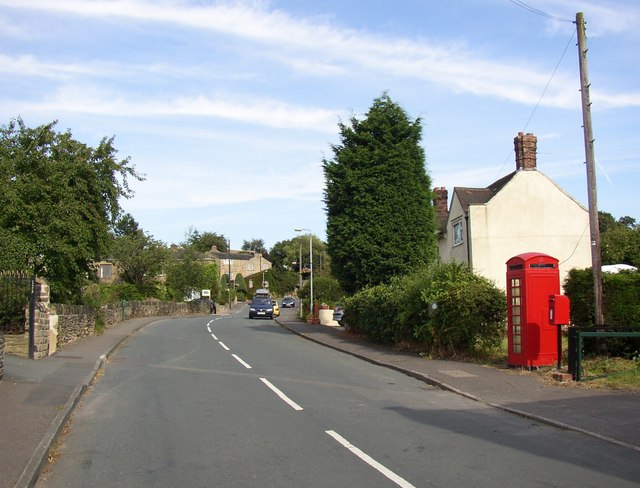
The Downs in Merchant Fields are characterized by rolling hills, vast meadows, and sweeping vistas. The grassy slopes are adorned with colorful wildflowers during the warmer months, creating a vibrant and visually appealing panorama. The Downs also provide ample opportunities for recreational activities such as hiking, picnicking, and birdwatching.
Adjacent to the Downs lies the Moorland, a unique ecosystem known for its heather-covered expanses and diverse wildlife. The Moorland in Merchant Fields boasts a rich variety of flora and fauna, including rare species like curlews, lapwings, and adders. It is a popular destination for nature walks and photography enthusiasts, who can capture the stunning beauty of the moors in all its glory.
Merchant Fields is also home to several quaint villages and hamlets, where visitors can experience the charm of rural Yorkshire life. These villages offer traditional pubs, local shops, and historic landmarks, providing a glimpse into the region's rich cultural heritage.
Overall, Merchant Fields in Yorkshire offers a captivating blend of natural beauty, outdoor activities, and cultural experiences. With its picturesque Downs, enchanting Moorland, and charming villages, it is a must-visit destination for those seeking a true taste of the Yorkshire countryside.
If you have any feedback on the listing, please let us know in the comments section below.
Merchant Fields Images
Images are sourced within 2km of 53.734753/-1.7128815 or Grid Reference SE1926. Thanks to Geograph Open Source API. All images are credited.


Merchant Fields is located at Grid Ref: SE1926 (Lat: 53.734753, Lng: -1.7128815)
Division: West Riding
Unitary Authority: Kirklees
Police Authority: West Yorkshire
What 3 Words
///bring.miles.even. Near Cleckheaton, West Yorkshire
Nearby Locations
Related Wikis
Drub, West Yorkshire
Drub is a hamlet in the Kirklees district, in the county of West Yorkshire, England. It is located between Cleckheaton, Birkenshaw, and Gomersal and is...

Whitechapel Church, Cleckheaton
Whitechapel Church, is an unusual church building located approximately half a mile north of Cleckheaton, West Yorkshire, England. It was built in 1820...

Cleckheaton Town Hall
Cleckheaton Town Hall is a municipal building in Bradford Road, Cleckheaton, West Yorkshire, England. The town hall, which was the headquarters of Spenborough...
Cleckheaton
Cleckheaton is a town in Kirklees, West Yorkshire, England. Historically part of the West Riding of Yorkshire, it is situated south of Bradford, east of...

Cleckheaton Central railway station
Cleckheaton Central railway station was a railway station serving the West Yorkshire town of Cleckheaton, England, until it was closed in the Beeching...

Cleckheaton Spen railway station
Cleckheaton Spen railway station served the town of Cleckheaton, West Yorkshire, England, from 1900 to 1953 on the Leeds New Line. It is one of two disused...
Whitcliffe Mount School
Whitcliffe Mount School is a mixed secondary school located in Cleckheaton, West Yorkshire, England. == History == It was established as Cleckheaton Secondary...
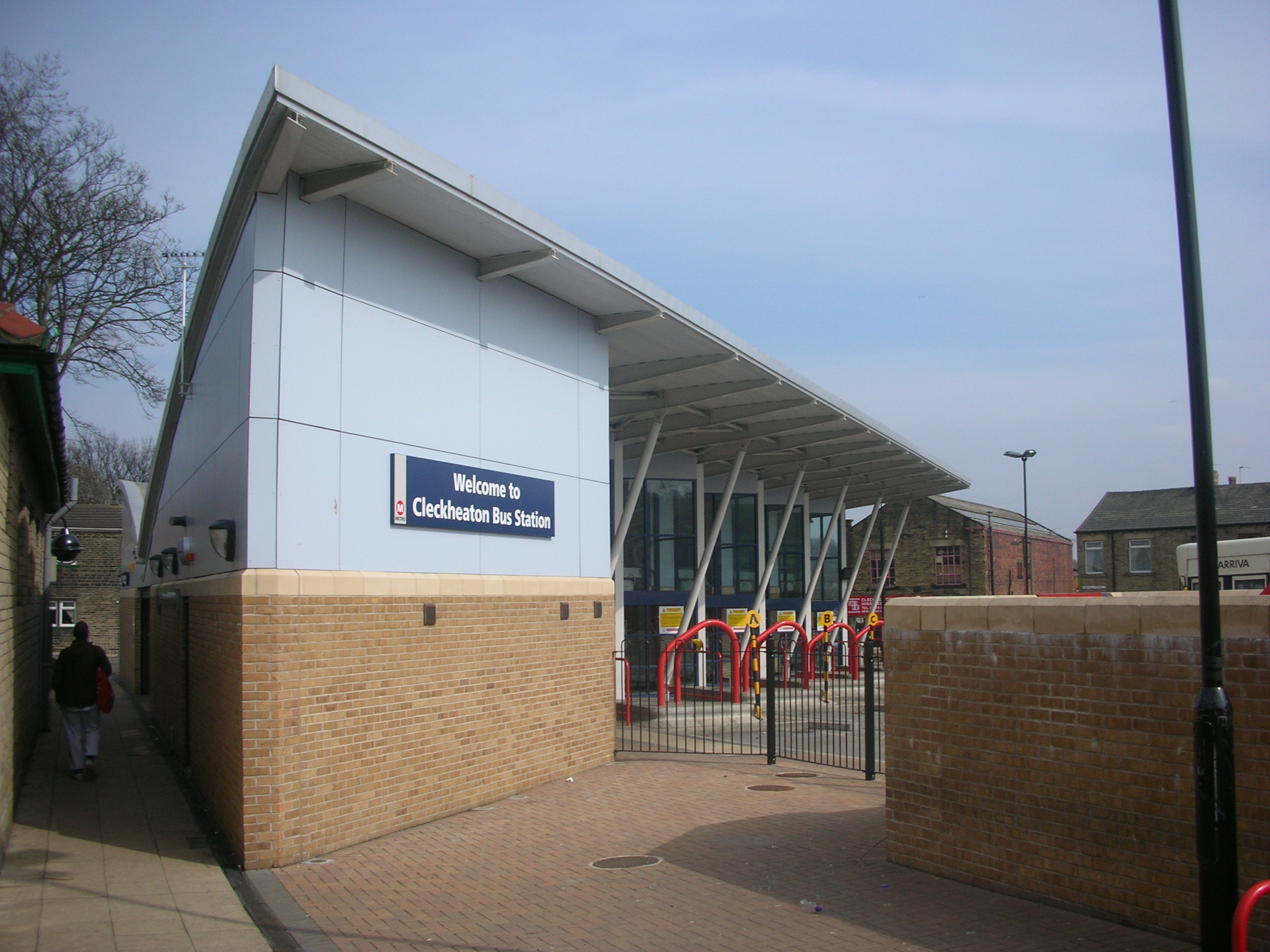
Cleckheaton bus station
Cleckheaton bus station serves the town of Cleckheaton, West Yorkshire, England. The station is owned and maintained by West Yorkshire Metro. It is situated...
Nearby Amenities
Located within 500m of 53.734753,-1.7128815Have you been to Merchant Fields?
Leave your review of Merchant Fields below (or comments, questions and feedback).