Pitts Wood Inclosure

Wood, Forest in Hampshire New Forest

England

Pitts Wood Inclosure

Bowl barrow at Ashley Cross (Scales 1m) <span class="nowrap"><a title="https://historicengland.org.uk/listing/the-list/list-entry/1012537?section=official-listing" rel="nofollow ugc noopener" href="https://historicengland.org.uk/listing/the-list/list-entry/1012537?section=official-listing">Link</a><img style="margin-left:2px;" alt="External link" title="External link - shift click to open in new window" src="https://s1.geograph.org.uk/img/external.png" width="10" height="10"/></span>
Bowl barrow at Ashley Cross Credit: Sandy Gerrard

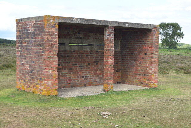
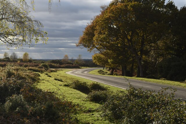
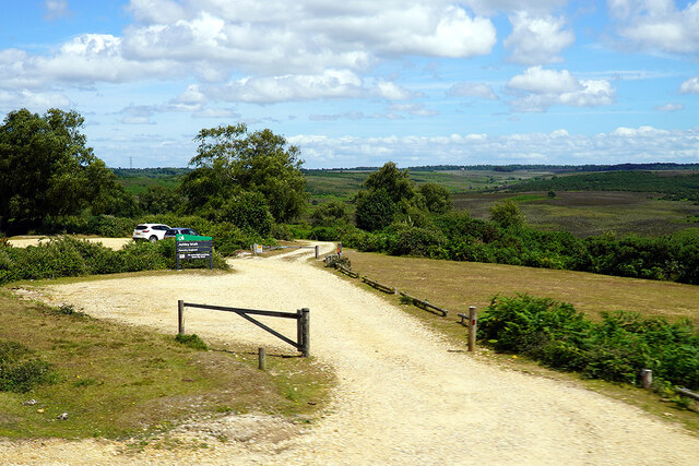
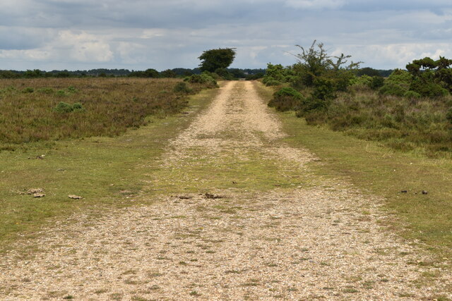
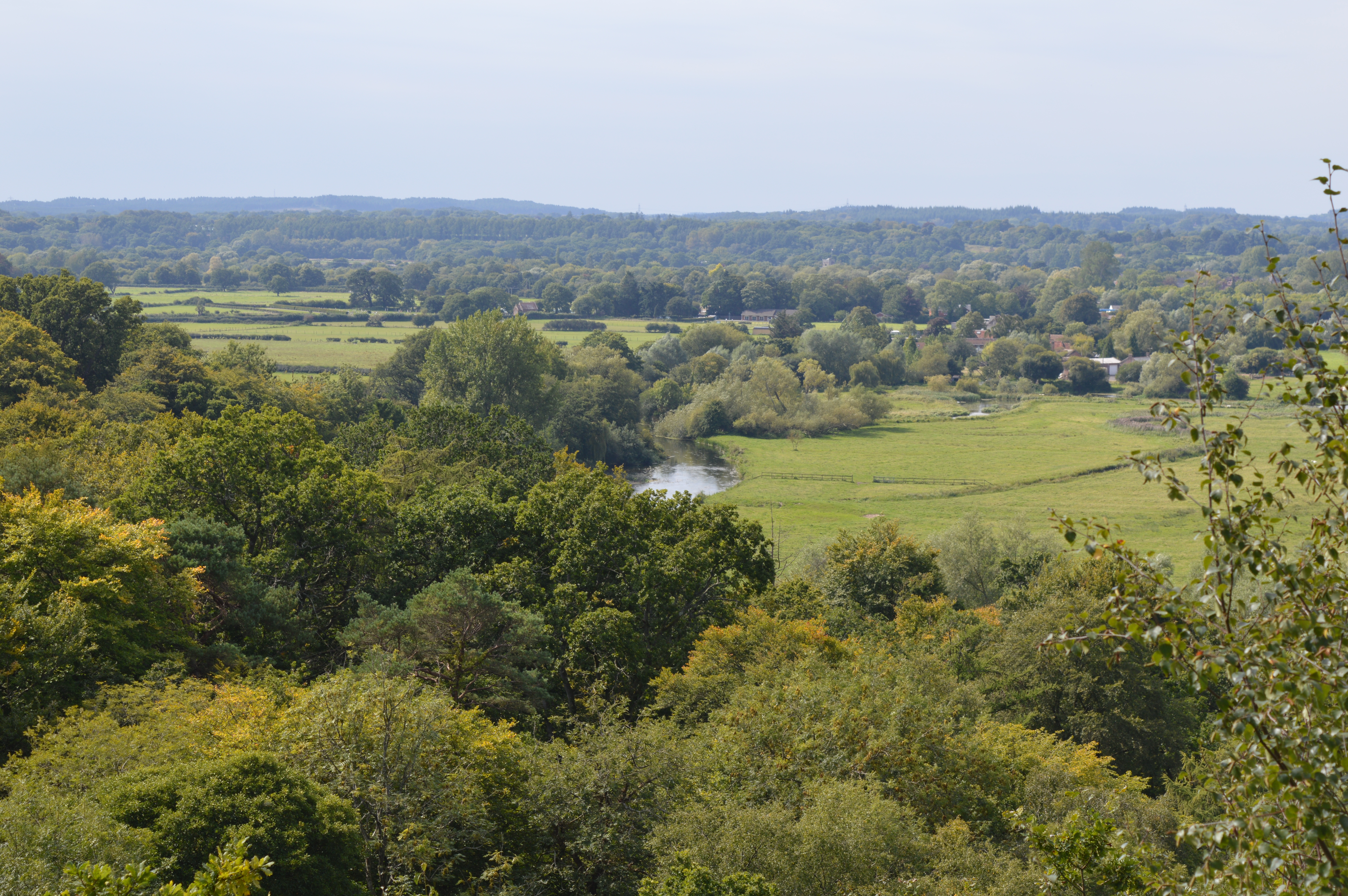
Pitts Wood Inclosure is a picturesque wood located in Hampshire, England. Spanning over a vast area, this enchanting forest is a popular destination for nature lovers and outdoor enthusiasts. The wood is situated within the New Forest National Park, one of the largest remaining tracts of unenclosed pastureland, heathland, and forest in Southern England.

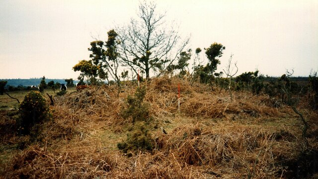
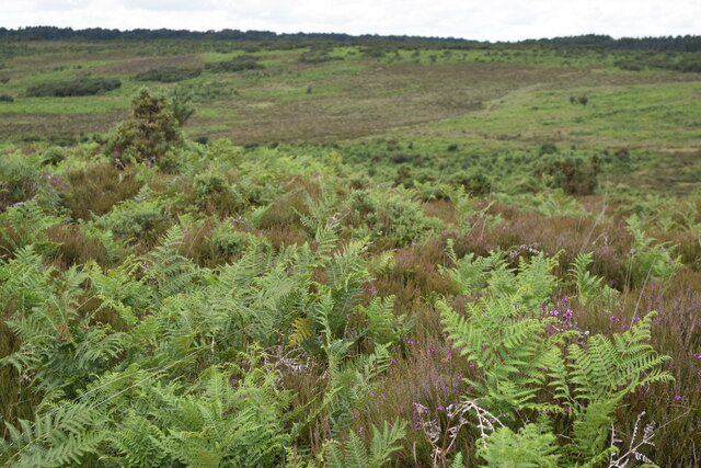
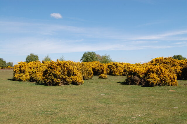
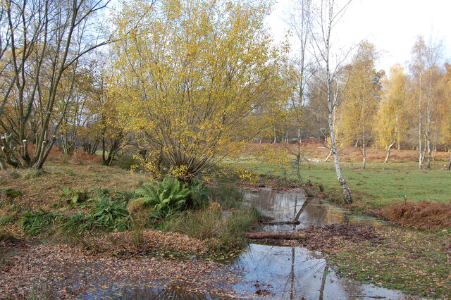
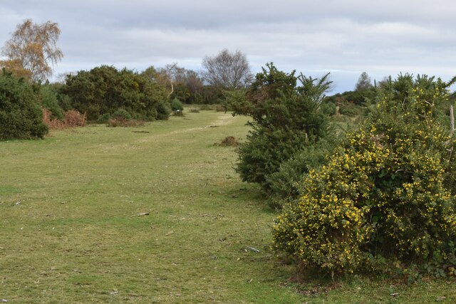
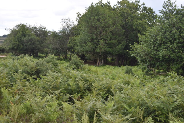
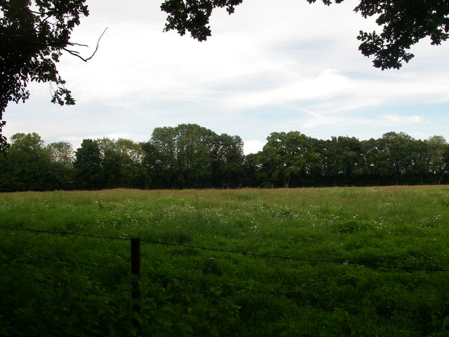
Pitts Wood Inclosure is characterized by its diverse ecosystem and rich biodiversity. The wood is predominantly composed of oak and beech trees, which provide a dense canopy and create a soothing ambiance. The forest floor is adorned with a variety of wildflowers, ferns, and mosses, adding to the enchanting atmosphere.

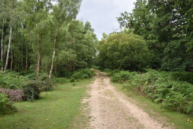
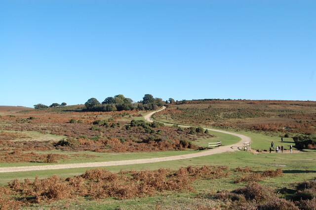
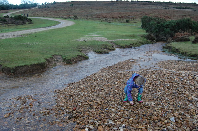
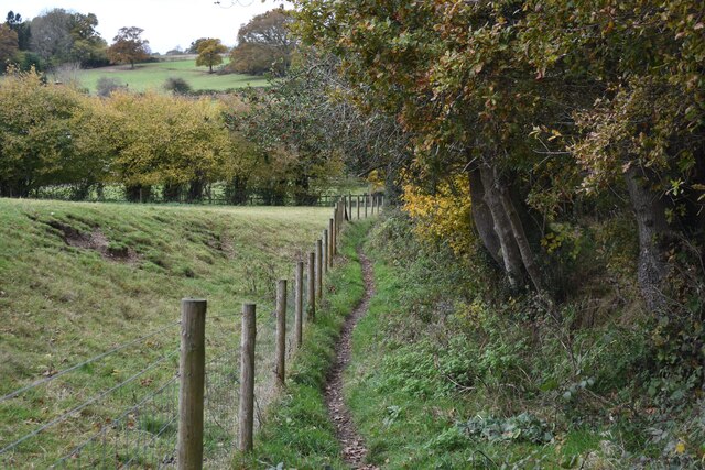
Walking trails and footpaths wind their way through the wood, allowing visitors to explore its natural wonders. These paths offer breathtaking views of the surrounding landscape and provide an opportunity to spot wildlife such as deer, squirrels, and a variety of bird species.

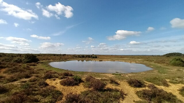
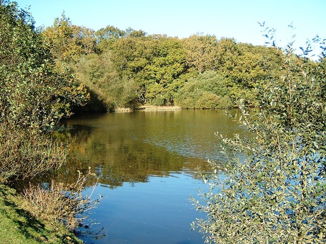
The wood is also home to several small ponds, which serve as a habitat for amphibians and insects. These ponds are a hotspot for nature enthusiasts, who can observe and learn about the different species that inhabit this unique ecosystem.

Pitts Wood Inclosure is managed by the Forestry Commission, ensuring its conservation and protection for future generations. The wood offers a tranquil retreat from the hustle and bustle of everyday life, providing visitors with a chance to connect with nature and enjoy the beauty of the natural world.

If you have any feedback on the listing, please let us know in the comments section below.

Pitts Wood Inclosure Images

Images are sourced within 2km of 50.929558/-1.7222224 or Grid Reference SU1914. Thanks to Geograph Open Source API. All images are credited.

Bowl barrow at Ashley Cross (Scales 1m) <span class="nowrap"><a title="https://historicengland.org.uk/listing/the-list/list-entry/1012537?section=official-listing" rel="nofollow ugc noopener" href="https://historicengland.org.uk/listing/the-list/list-entry/1012537?section=official-listing">Link</a><img style="margin-left:2px;" alt="External link" title="External link - shift click to open in new window" src="https://s1.geograph.org.uk/img/external.png" width="10" height="10"/></span>
Bowl barrow at Ashley Cross
(Scales 1m) LinkExternal link
Track passing west of Island Thorns Inclosure
Bracken across the path above Black Gutter Bottom
Cows and ponies on target The animals and photographer are standing on one of the major target areas of Ashley Walk Bombing Range. Fortunately it closed in 1946. For full details see <a href="https://www.geograph.org.uk/photo/4477882">SU2014 : (7d) A tour of the WWII Ashley Walk Bombing Range - Observation Shelter (detail)</a>.
Cows and ponies on target
The animals and photographer are standing on one of the major target areas of Ashley Walk Bombing Range. Fortunately it closed in 1946. For full details see SU2014 : (7d) A tour of the WWII Ashley Walk Bombing Range - Observation Shelter (detail).
Track climbing from the ford in Ashley Bottom
Observation shelter on the former Ashley Walk Bombing Range On the inside of the near end wall is the information board shown in <a href="https://www.geograph.org.uk/photo/4477882">SU2014 : (7d) A tour of the WWII Ashley Walk Bombing Range - Observation Shelter (detail)</a>.
Observation shelter on the former Ashley Walk Bombing Range
On the inside of the near end wall is the information board shown in SU2014 : (7d) A tour of the WWII Ashley Walk Bombing Range - Observation Shelter (detail).
Grand Slam View looking WNW across Grand Slam bomb crater  from top of  tumulus.
Grand Slam
View looking WNW across Grand Slam bomb crater from top of tumulus.
Gorse at Godshill near Fordingbridge. New Forest
The snake path near Godshill
Ditchend Brook near The Snake Path
Small stream in Pitts Wood Inclosure,  New Forest The stream has divided here to form a small island.
Small stream in Pitts Wood Inclosure, New Forest
The stream has divided here to form a small island.
Path towards Godshill Cricket Pitch
Path south of Godshill
Autumn afternoon sunlight near Godshill Cricket Ground
Seat on the green at Godshill Godshill is on the western boundary of the New Forest national park.
Seat on the green at Godshill
Godshill is on the western boundary of the New Forest national park.
Ashley Walk car park on Godshill Ridge Looking over Stone Quarry Bottom.
Ashley Walk car park on Godshill Ridge
Looking over Stone Quarry Bottom.
Track on Little Cockley Plain Within the area of the former Ashley Walk Bombing Range. For details see <a href="https://www.geograph.org.uk/photo/4477882">SU2014 : (7d) A tour of the WWII Ashley Walk Bombing Range - Observation Shelter (detail)</a>.
Track on Little Cockley Plain
Within the area of the former Ashley Walk Bombing Range. For details see SU2014 : (7d) A tour of the WWII Ashley Walk Bombing Range - Observation Shelter (detail).
Bracken and woodland at Lodge Hill
Show me another place!

Pitts Wood Inclosure is located at Grid Ref: SU1914 (Lat: 50.929558, Lng: -1.7222224)

Administrative County: Hampshire

District: New Forest

Police Authority: Hampshire

What 3 Words

///aviators.blending.machine. Near Fordingbridge, Hampshire

Related Wikis

Ashley Range

Ashley Range is a former World War II bombing range in the New Forest, Hampshire, England. The range is approximately 5 mi (8.0 km) north-west of Lyndhurst...

Blissford

Blissford is a hamlet in the civil parish of Hyde situated in the New Forest National Park in Hampshire, England. Its nearest town is Fordingbridge, which...

Sandy Balls

Sandy Balls is 120 acres (0.49 km2) of woods and parkland near the New Forest in Hampshire, England. Located between the village of Godshill and the town...

Godshill, Hampshire

Godshill is a village and civil parish and in New Forest National Park in Hampshire, England. It is about 1+1⁄2 miles (2.4 km) east of the town of Fordingbridge...

Ogdens

Ogdens is a small hamlet south of Hyde Common near Frogham in the New Forest area of Hampshire, England. Ogdens is a hamlet in the civil parish of Hyde...

Frogham, Hampshire

Frogham is a small village in the New Forest National Park of Hampshire, England. It is in the civil parish of Hyde. Its nearest town is Fordingbridge...

Frankenbury Camp

Frankenbury Camp is the site of an Iron Age univallate hillfort located in Hampshire. The site is on a very slight promontory overlooking the Avon Valley...

Eyeworth Pond

Eyeworth Pond is a pond located near Fritham in the New Forest, in Hampshire, England. The pond was created in 1871 by damming Latchmore Brook, with the...

Nearby Amenities

Located within 500m of 50.929558,-1.7222224
Bicycle: yes
Ford: yes
Motor Vehicle: yes
Lat/Long: 50.9305478/-1.7231495
Bicycle: yes
Ford: yes
Motor Vehicle: yes
Lat/Long: 50.9307192/-1.7268078
Bicycle: yes
Ford: yes
Motor Vehicle: yes
Lat/Long: 50.9298036/-1.71586
Hive Garn Bottom
Place: locality
Lat/Long: 50.9336977/-1.7226219
Ford: yes
Lat/Long: 50.9320868/-1.7257622
Must Thorns Bottom
Place: locality
Lat/Long: 50.9296922/-1.7281893
Tickets Bury
Place: locality
Lat/Long: 50.9282074/-1.7247177
The data included in this document is from www.openstreetmap.org. The data is made available under ODbL.

Have you been to Pitts Wood Inclosure?

Leave your review of Pitts Wood Inclosure below (or comments, questions and feedback).