Stockley Gill Plantation

Wood, Forest in Durham

England

Stockley Gill Plantation

Stockley Lane west of Oakenshaw Farm
Stockley Lane west of Oakenshaw Farm Credit: Alexander P Kapp

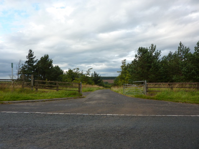
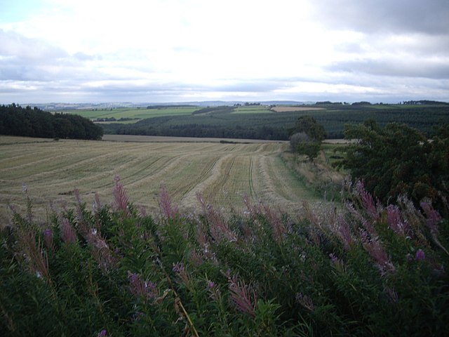
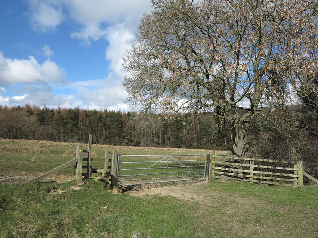
Stockley Gill Plantation is a captivating woodland area located in Durham, England. Spanning over a vast expanse of land, this plantation encompasses a diverse range of trees, making it a haven for nature enthusiasts and conservationists alike.

The plantation is predominantly populated by a variety of woodlands and forests, which contribute to its unique and enchanting atmosphere. Ancient oak, beech, and birch trees stand tall and proud, creating a dense canopy that provides shade and shelter to the myriad of wildlife that call this place home. These trees have been meticulously preserved and protected over the years, ensuring their longevity and contributing to the overall biodiversity of the area.

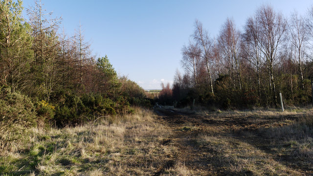
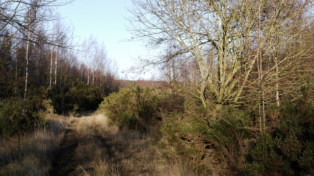
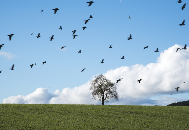
Walking through Stockley Gill Plantation is a truly immersive experience. The forest floor is carpeted with a rich tapestry of ferns, mosses, and wildflowers, adding bursts of color to the otherwise green landscape. The air is filled with the melodious songs of various bird species, and if one is lucky, they may spot elusive creatures such as deer, squirrels, and rabbits darting through the undergrowth.

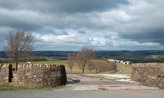
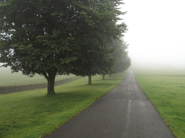
The plantation is also home to several walking trails and footpaths, allowing visitors to explore the area at their own pace. These well-maintained paths wind through the woods, offering breathtaking views of the surrounding countryside and providing a tranquil escape from the hustle and bustle of everyday life.

Stockley Gill Plantation is not only a picturesque destination but also plays a vital role in the conservation of the region's natural heritage. Its beauty and biodiversity make it a cherished gem in Durham, attracting visitors from far and wide who seek solace in its serene surroundings.

If you have any feedback on the listing, please let us know in the comments section below.

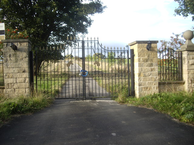
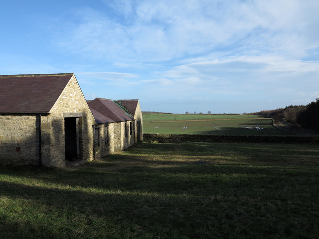
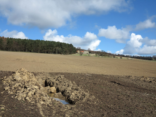
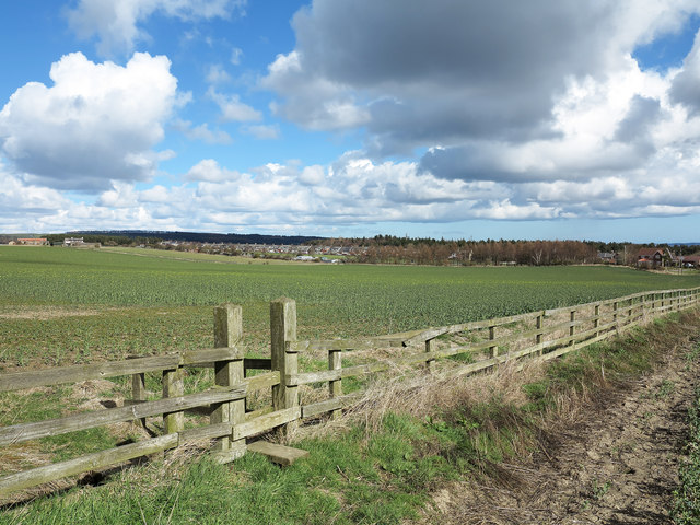
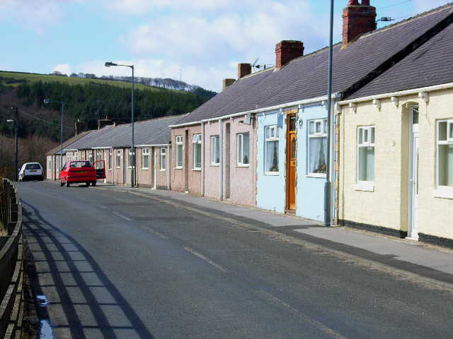
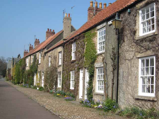
Stockley Gill Plantation Images

Images are sourced within 2km of 54.737988/-1.6968302 or Grid Reference NZ1938. Thanks to Geograph Open Source API. All images are credited.

Stockley Lane west of Oakenshaw Farm
Road to Nackshivan Farm
Road off Stockley Lane
Stockley Lane at Tanner's Hall Cottages
Track in woodland east of Stanley Crook A junction of public footpaths lies at the north end of a triangular meeting of forestry roads in this woodland. The view is to the south-east along the north-eastern side of that triangle.
Track in woodland east of Stanley Crook
A junction of public footpaths lies at the north end of a triangular meeting of forestry roads in this woodland. The view is to the south-east along the north-eastern side of that triangle.
Forestry track and footpath east of Stanley Crook A kilometre or so east of the County Durham village of Stanley Crook lies an area mapped as mixed woodland. There are several marked tracks or roads in the woods there that can hardly be called forestry roads - they'd not stand the weight of traffic required for that status. This is one of those tracks which is also the route of a public footpath.
Forestry track and footpath east of Stanley Crook
A kilometre or so east of the County Durham village of Stanley Crook lies an area mapped as mixed woodland. There are several marked tracks or roads in the woods there that can hardly be called forestry roads - they'd not stand the weight of traffic required for that status. This is one of those tracks which is also the route of a public footpath.
Access road for Standalone Standalone is a farm which lies on a slope descending to the valley of the River Deerness. There's a stile over the wall at the left side of the image which allows walkers to avoid the crossing of cattle a grid; a finger post which is not in quite in view informs that the route is a public byway.
Access road for Standalone
Standalone is a farm which lies on a slope descending to the valley of the River Deerness. There's a stile over the wall at the left side of the image which allows walkers to avoid the crossing of cattle a grid; a finger post which is not in quite in view informs that the route is a public byway.
View south from a minor road on Wooley Hill Looking down on Birks Wood in the upper valley of Stockley Beck.
View south from a minor road on Wooley Hill
Looking down on Birks Wood in the upper valley of Stockley Beck.
Access to Baal Hill farmhouse From a minor road - Sandy Lonnen (ie Sandy Lane).
Access to Baal Hill farmhouse
From a minor road - Sandy Lonnen (ie Sandy Lane).
Baal Hill A renovated farmhouse on Sandy Lonnen.
Baal Hill
A renovated farmhouse on Sandy Lonnen.
Gated access to Brandon Lane From Sandy Lonnen, opposite Weather Hill Wood.
Gated access to Brandon Lane
From Sandy Lonnen, opposite Weather Hill Wood.
Locked wrought-iron gates off Sandy Lonnen Bearing the name Brancepeth Manor Farm; formerly this had been mapped as West Brandon Farm.
Locked wrought-iron gates off Sandy Lonnen
Bearing the name Brancepeth Manor Farm; formerly this had been mapped as West Brandon Farm.
Buildings and fields at Baal Hill The buildings at Baal Hill are in a curious state. The farmhouse itself which is hidden from view in the image has been fully renovated. The farm out-buildings also appear to have undergone partial renovation and even conversion but there are no doors or windows in place. The roofs appear to have been renewed with membranes beneath new slates but there seems to have been metal theft from them. As can be seen at the farthest building the gutters between adjacent roof slopes have had slates ripped away, doubtless to remove the lead that would have been placed there.
Buildings and fields at Baal Hill
The buildings at Baal Hill are in a curious state. The farmhouse itself which is hidden from view in the image has been fully renovated. The farm out-buildings also appear to have undergone partial renovation and even conversion but there are no doors or windows in place. The roofs appear to have been renewed with membranes beneath new slates but there seems to have been metal theft from them. As can be seen at the farthest building the gutters between adjacent roof slopes have had slates ripped away, doubtless to remove the lead that would have been placed there.
Earthen field below Weather Hill House The upper, paler part of the field is sown with a crop yet to emerge; the darker, nearer part is apparently wetter and it appears that ditching work for drainage has been attempted. A public footpath descends the field from the house; there's no route visible on the ground.
Earthen field below Weather Hill House
The upper, paler part of the field is sown with a crop yet to emerge; the darker, nearer part is apparently wetter and it appears that ditching work for drainage has been attempted. A public footpath descends the field from the house; there's no route visible on the ground.
Field with stile access for footpath The beginning of yellowing in the crop suggests oil seed rape is growing there. The distant houses are of the village of Oakenshaw.
Field with stile access for footpath
The beginning of yellowing in the crop suggests oil seed rape is growing there. The distant houses are of the village of Oakenshaw.
Route of footpath between fields The footpath line crosses the stile then descends to cross Stockley Beck in the valley below.
Route of footpath between fields
The footpath line crosses the stile then descends to cross Stockley Beck in the valley below.
Lone tree in field with birds A flock of birds circling above the field seen from an old railway route, now a footpath and cycleway, the Brandon to Bishop Auckland Railway Path.
Lone tree in field with birds
A flock of birds circling above the field seen from an old railway route, now a footpath and cycleway, the Brandon to Bishop Auckland Railway Path.
Misty tree lined road to Standalone Farm
Show me another place!

Stockley Gill Plantation is located at Grid Ref: NZ1938 (Lat: 54.737988, Lng: -1.6968302)

Unitary Authority: County Durham

Police Authority: Durham

What 3 Words

///ownership.burn.stretcher. Near Willington, Co. Durham

Related Wikis

Oakenshaw, County Durham

Oakenshaw is a village in County Durham, in England. It is situated to the north of Willington. In the 2001 census Oakenshaw had a population of 470.The...

Brancepeth railway station

Brancepeth railway station served the village of Brancepeth, County Durham, North East England from 1857 to 1964 on the Durham to Bishop Auckland Line...

Waterhouses, County Durham

Waterhouses is a village in County Durham, in England. It is situated to the west of Durham, near Esh Winning, on the northern Bank of the River Deerness...

Stanley Crook

Stanley Crook is a village in County Durham, in England. It is situated to the north of Crook and Billy Row. The area is rural, surrounded by open farm...

Willington railway station (Durham)

Willington railway station served the town of Willington, County Durham, North East England from 1857 to 1964 on the Durham to Bishop Auckland Line....

Brancepeth Castle

Brancepeth Castle is a castle in the village of Brancepeth in County Durham, England, some 5 miles south-west of the city of Durham (grid reference NZ223377...

Brancepeth

Brancepeth is a village and civil parish in County Durham, in England. It is situated about 8 km (5 mi) from Durham on the A690 road between Durham and...

Esh Winning F.C.

Esh Winning Football Club is a football club based in Esh Winning, near Durham, in County Durham, England. They are currently members of the Northern League...

Have you been to Stockley Gill Plantation?

Leave your review of Stockley Gill Plantation below (or comments, questions and feedback).