Carverel Copse
Wood, Forest in Wiltshire
England
Carverel Copse
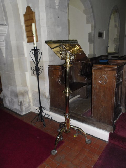
Carverel Copse, located in Wiltshire, England, is a picturesque woodland area that covers approximately 20 acres of land. It is situated in the southern part of the county, near the village of Carverel. The copse is characterized by its dense tree cover and diverse flora and fauna.
The woodland is primarily composed of broadleaf trees, such as oak, beech, and ash, which create a rich and vibrant canopy overhead. These trees provide a habitat for numerous bird species, including woodpeckers, owls, and thrushes, making it a popular spot for birdwatchers.
Carverel Copse is also home to a variety of wildlife, including deer, foxes, and rabbits. The dense undergrowth and fallen logs provide shelter and food sources for smaller animals, such as squirrels and hedgehogs. The copse is known for its tranquility and natural beauty, attracting visitors who seek solace in nature.
The woodland is intersected by several footpaths, allowing visitors to explore its hidden corners and discover its hidden treasures. These paths lead to a small stream that meanders through the copse, adding to its natural charm and providing a watering hole for the resident wildlife.
Carverel Copse is managed by the local authorities to maintain its biodiversity and preserve its natural features. It is open to the public throughout the year, offering an opportunity for visitors to enjoy the beauty of nature, engage in outdoor activities, or simply relax amidst the peaceful surroundings.
If you have any feedback on the listing, please let us know in the comments section below.
Carverel Copse Images
Images are sourced within 2km of 51.080105/-1.7213227 or Grid Reference SU1931. Thanks to Geograph Open Source API. All images are credited.
Carverel Copse is located at Grid Ref: SU1931 (Lat: 51.080105, Lng: -1.7213227)
Unitary Authority: Wiltshire
Police Authority: Wiltshire
What 3 Words
///ambushes.mend.barn. Near Alderbury, Wiltshire
Nearby Locations
Related Wikis
Pitton
Pitton is a village in Wiltshire, England, about 7 miles (11 km) east of Salisbury, just off the A30 London Road. == History == A Roman road (now a bridleway...
Clarendon Palace
Clarendon Palace is a medieval ruin 2+1⁄4 miles (3.6 km) east of Salisbury in Wiltshire, England. The palace was a royal residence during the Middle Ages...
Bracknell Croft
Bracknell Croft (grid reference SU180330) is a 4.8 hectare biological Site of Special Scientific Interest in Wiltshire, notified in 1971. == Sources... ==
Cockey Down
Cockey Down (grid reference SU170317) is a 15.2 hectare biological Site of Special Scientific Interest in Wiltshire, notified in 1971. The site is managed...
Nearby Amenities
Located within 500m of 51.080105,-1.7213227Have you been to Carverel Copse?
Leave your review of Carverel Copse below (or comments, questions and feedback).
