Home Copse
Wood, Forest in Wiltshire
England
Home Copse
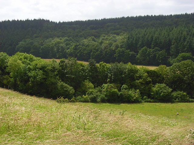
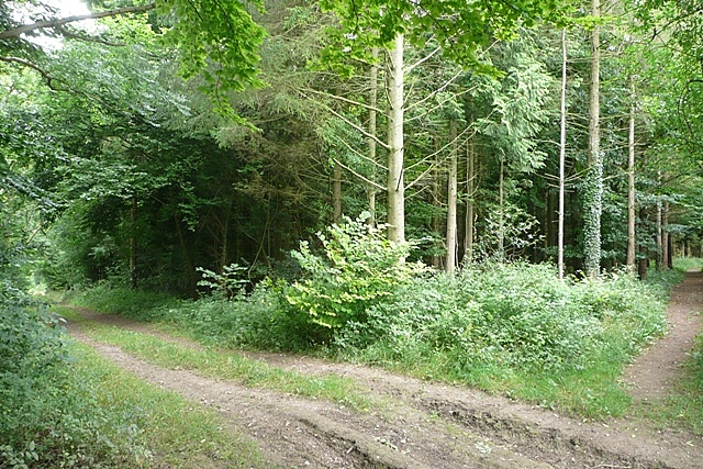
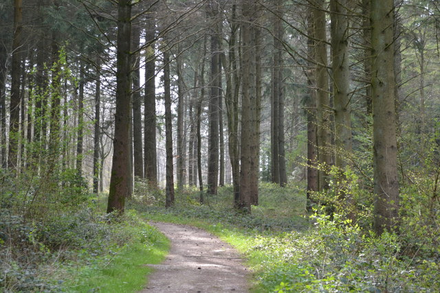
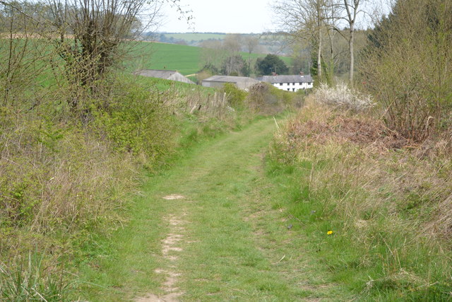
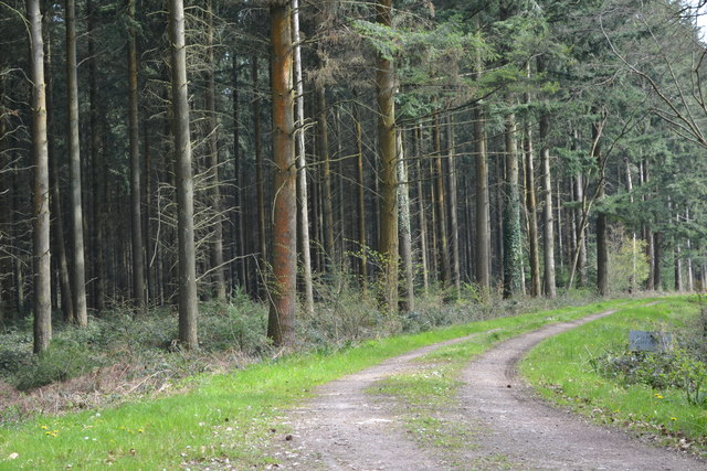
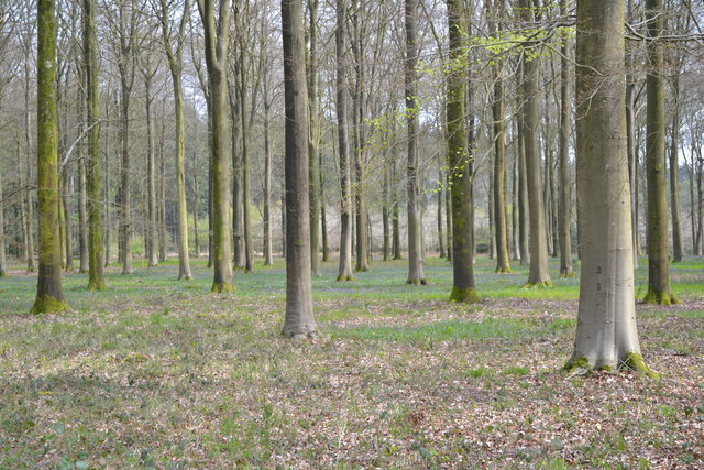
Home Copse is a small wood located in the county of Wiltshire, England. Situated near the town of Marlborough, it covers an area of approximately 50 acres. The copse is predominantly made up of deciduous trees, including oak, ash, and beech, with an understory of shrubs and wildflowers.
The woodland is known for its natural beauty and serves as a habitat for a variety of wildlife species. It provides a safe shelter for numerous bird species, such as woodpeckers, owls, and songbirds, which can be heard throughout the year. Additionally, the copse is home to small mammals like foxes, badgers, and rabbits, as well as a diverse range of insects and butterflies.
Home Copse offers a peaceful and tranquil environment, making it a popular spot for local residents and nature enthusiasts. It provides opportunities for leisurely walks and nature trails, allowing visitors to immerse themselves in the serene surroundings. The copse is also a great place for photography and nature observation, with its picturesque scenery and abundance of flora and fauna.
Maintained by the local council, Home Copse is well-preserved, with clear pathways and seating areas for visitors to rest and enjoy the natural surroundings. The copse is accessible year-round, with parking facilities available nearby. It is an ideal destination for individuals seeking a peaceful retreat and a chance to connect with nature in the heart of Wiltshire.
If you have any feedback on the listing, please let us know in the comments section below.
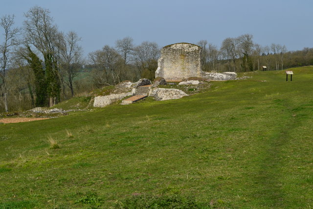
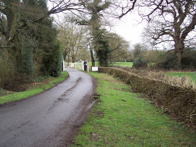
Home Copse Images
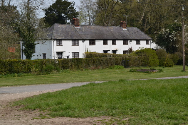
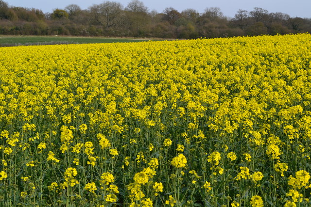
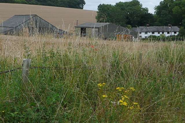
Images are sourced within 2km of 51.074217/-1.733876 or Grid Reference SU1830. Thanks to Geograph Open Source API. All images are credited.


Home Copse is located at Grid Ref: SU1830 (Lat: 51.074217, Lng: -1.733876)
Unitary Authority: Wiltshire
Police Authority: Wiltshire
What 3 Words
///spearing.escalated.envisage. Near Alderbury, Wiltshire
Nearby Locations
Related Wikis

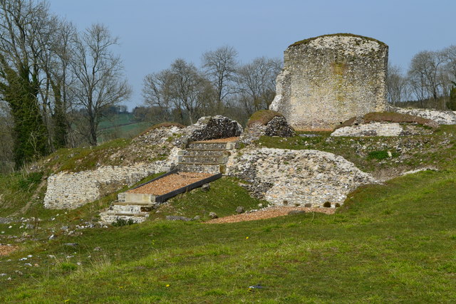
Clarendon Palace
Clarendon Palace is a medieval ruin 2+1⁄4 miles (3.6 km) east of Salisbury in Wiltshire, England. The palace was a royal residence during the Middle Ages...

Cockey Down
Cockey Down (grid reference SU170317) is a 15.2 hectare biological Site of Special Scientific Interest in Wiltshire, notified in 1971. The site is managed...
Clarendon Park, Wiltshire
Clarendon Park is a Grade I listed building, estate and civil parish near Salisbury in Wiltshire, England. At the 2011 census the population of the parish...
Bracknell Croft
Bracknell Croft (grid reference SU180330) is a 4.8 hectare biological Site of Special Scientific Interest in Wiltshire, notified in 1971. == Sources... ==
Nearby Amenities
Located within 500m of 51.074217,-1.733876Have you been to Home Copse?
Leave your review of Home Copse below (or comments, questions and feedback).