Hag Pits
Wood, Forest in Yorkshire Harrogate
England
Hag Pits
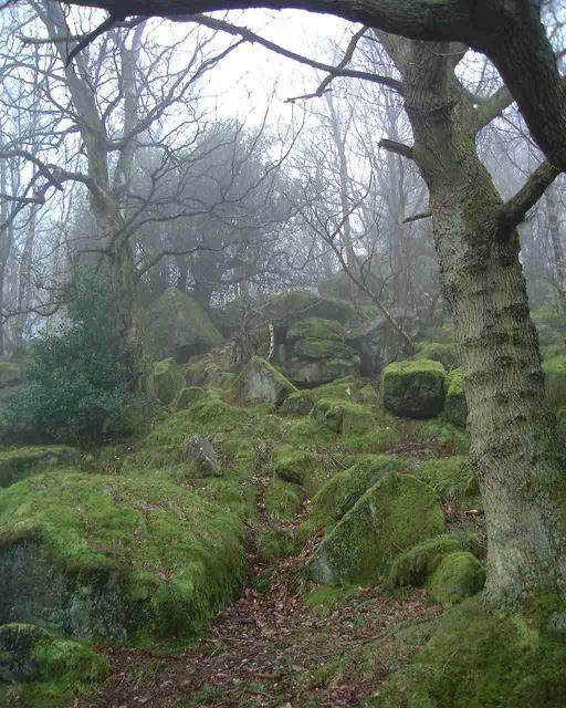
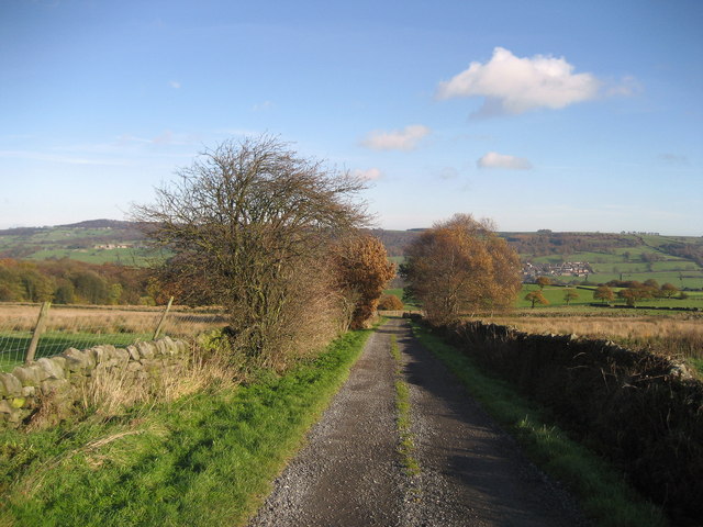
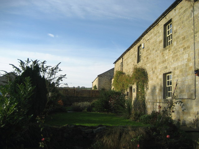
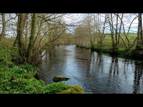
Hag Pits, located in Yorkshire, England, is a picturesque woodland area known for its enchanting atmosphere and historical significance. Nestled within a dense forest, Hag Pits is a popular destination for nature enthusiasts and history buffs alike.
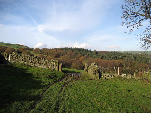
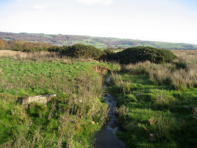
Covering an area of approximately 100 acres, Hag Pits boasts a diverse range of flora and fauna, including ancient oak trees, wildflowers, and various bird species. The woodland is characterized by its moss-covered forest floor, creating a mystical and ethereal ambiance. Visitors can enjoy leisurely walks along the well-maintained trails, immersing themselves in the tranquility of nature.
However, Hag Pits is not only renowned for its natural beauty but also for its historical significance. The area is home to several archaeological sites, including remnants of ancient settlements and burial mounds dating back to the Neolithic and Bronze Age periods. These archaeological remains provide valuable insights into the region's past, offering a glimpse into the lives of early inhabitants.
Moreover, legends and folklore surround Hag Pits, adding to its allure. Local folklore speaks of hags and witches inhabiting the woods, giving rise to the area's name. These mythical tales, while captivating, add an element of mystery and intrigue to the already enchanting woodland.
Overall, Hag Pits in Yorkshire is a captivating destination that seamlessly blends natural beauty with historical significance. Whether one is seeking a peaceful retreat in nature or delving into the region's past, this woodland offers a truly captivating experience.
If you have any feedback on the listing, please let us know in the comments section below.
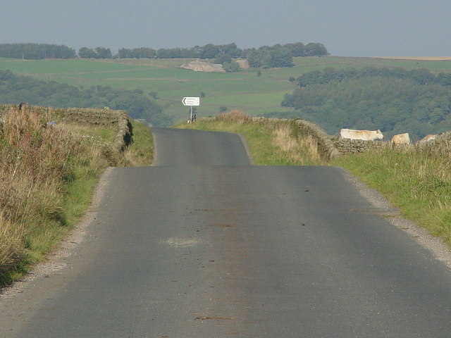
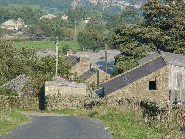
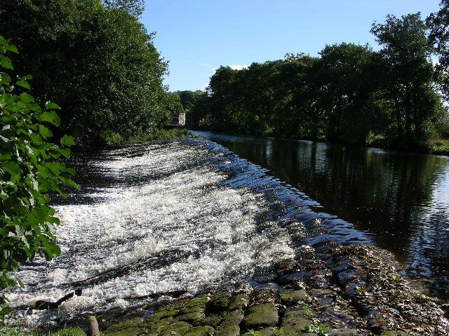
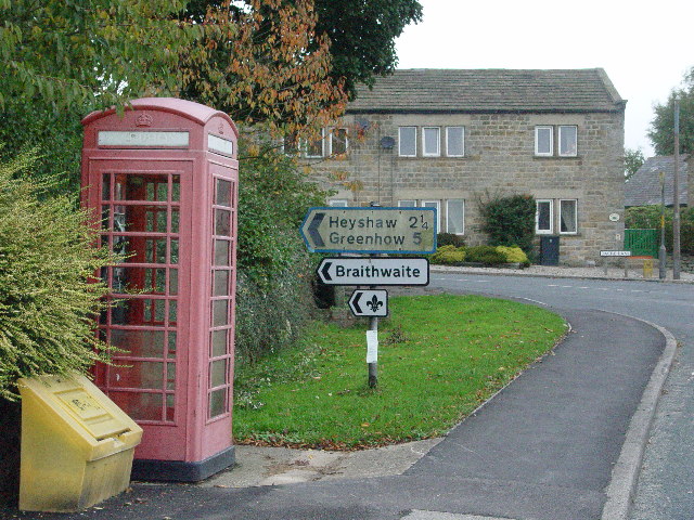
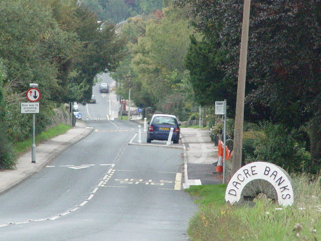
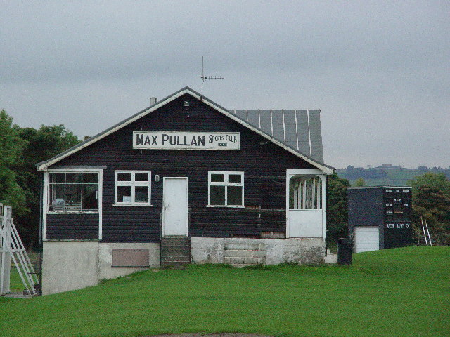
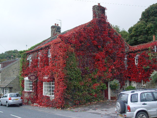
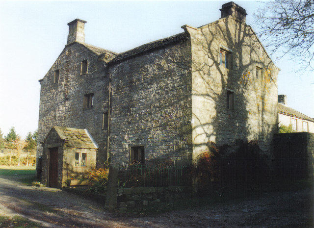
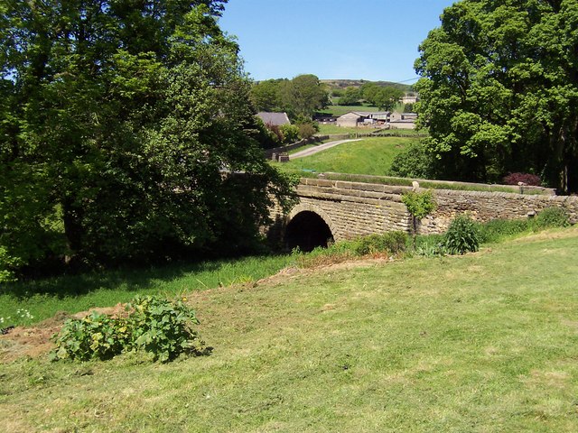
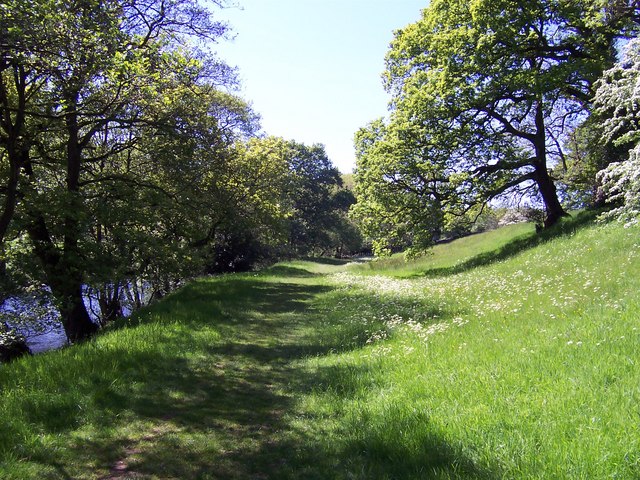
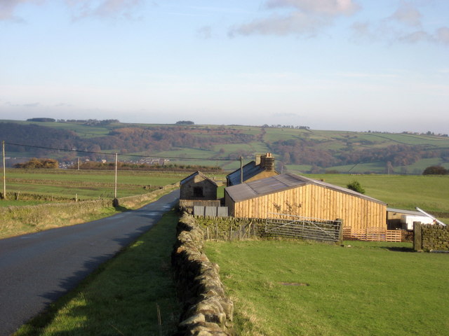
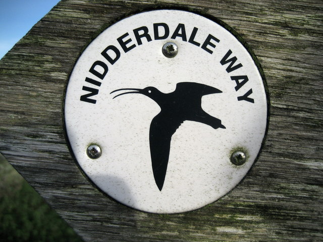
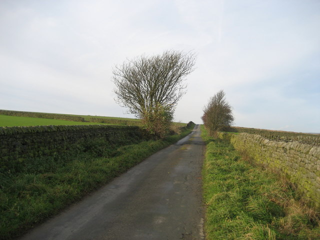
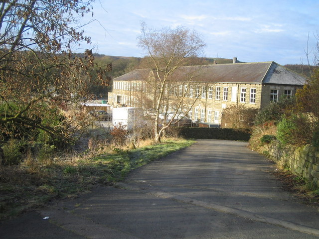
Hag Pits Images
Images are sourced within 2km of 54.055337/-1.7152297 or Grid Reference SE1862. Thanks to Geograph Open Source API. All images are credited.
Hag Pits is located at Grid Ref: SE1862 (Lat: 54.055337, Lng: -1.7152297)
Division: West Riding
Administrative County: North Yorkshire
District: Harrogate
Police Authority: North Yorkshire
What 3 Words
///jams.tacky.diplomat. Near Pateley Bridge, North Yorkshire
Nearby Locations
Related Wikis

Dacre railway station
Dacre railway station served the villages of Dacre and Summerbridge, North Yorkshire, England from 1862 to 1951 on the Nidd Valley Railway. == History... ==

Summerbridge, North Yorkshire
Summerbridge is a village in Nidderdale in Harrogate district, North Yorkshire, England. It is on the River Nidd, adjacent to Dacre Banks on the opposite...
New York, North Yorkshire
New York is a settlement in Nidderdale in the Harrogate district of North Yorkshire, England. It is on the River Nidd, near Summerbridge, and about 2...

Dacre, North Yorkshire
Dacre is a village and civil parish in the Harrogate district of North Yorkshire, England, it is 5 miles south of Pateley Bridge. In the 2001 census the...

Smelthouses
Smelthouses is a hamlet in Nidderdale in North Yorkshire, England. It lies about 2.3 miles (4 km) south-east of Pateley Bridge, on either side of Fell...
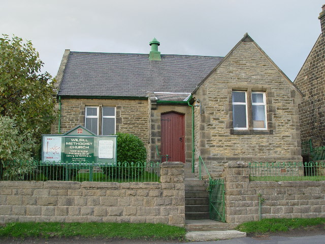
Wilsill
Wilsill is a village in Nidderdale in the Harrogate district of North Yorkshire, England. It is about 2 miles (3 km) east of Pateley Bridge on the B6165...

Glasshouses, North Yorkshire
Glasshouses is a small village in Nidderdale, North Yorkshire, England. It lies 1 mile (1.6 km) south-east of Pateley Bridge on the east side of Nidderdale...

Hartwith cum Winsley
Hartwith cum Winsley is a civil parish in Harrogate district, North Yorkshire, England. Historically it was a township in the ancient parish of Kirkby...
Related Videos
River Nidd - Dacre Banks & Hampsthwaite, Nidderdale, North Yorkshire - 16 April 2023
A 12 mile walk from Dacre Banks. The route heads downstream leaving the riverside at The Holme and heads to Swarcliffe before ...

A day in the life of Suzanne Benson (Owner of Nidderdale Llamas)
Join Suzanne as she gets on with her day routine with the llamas and alpacas during lockdown. Nidderdale Llamas is a Llama ...

Grand Day Out With Tut Llamas!
This is a llamazing #shorts video documenting Al and his mum's trip to Nidderdale Farm (Yorkshire) where they indulged in a 3 ...

FOR SALE - Whyn Cottage, Summerbridge
We are delighted to welcome this Nidderdale village cottage, full of character and charm to the market. Bearing a date stone of ...
Nearby Amenities
Located within 500m of 54.055337,-1.7152297Have you been to Hag Pits?
Leave your review of Hag Pits below (or comments, questions and feedback).