Brownie Wood
Wood, Forest in Yorkshire Richmondshire
England
Brownie Wood
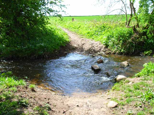
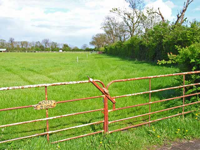
Brownie Wood is a captivating woodland located in the picturesque county of Yorkshire, England. Covering an area of approximately 100 acres, it is nestled within the sprawling beauty of the Yorkshire Dales National Park. The wood boasts a diverse range of flora and fauna, making it a haven for nature enthusiasts and wildlife lovers alike.
The woodland is predominantly composed of native broadleaf trees, such as oak, beech, and birch, which create a lush and vibrant canopy overhead. These trees provide a sheltered habitat for a variety of woodland creatures, including badgers, foxes, and numerous species of birds, making it an ideal spot for wildlife spotting.
Visitors to Brownie Wood can enjoy a network of well-maintained walking trails that meander through the enchanting landscape, providing a serene and peaceful environment. The trails vary in difficulty, catering to both casual strollers and avid hikers. Along the way, walkers can admire the vibrant carpet of wildflowers that bloom during the spring and summer months, adding a burst of color to the woodland floor.
In addition to its natural beauty, Brownie Wood also holds historical significance. Within its boundaries, there are remnants of ancient settlements, with archaeological evidence suggesting human activity dating back thousands of years. These historical artifacts offer a glimpse into the rich cultural heritage of the area.
Overall, Brownie Wood is a captivating destination that offers a tranquil retreat from the hustle and bustle of everyday life. Whether one seeks solace in nature, a chance to observe wildlife, or an opportunity to delve into the region's history, this woodland provides a truly immersive experience for all.
If you have any feedback on the listing, please let us know in the comments section below.
Brownie Wood Images
Images are sourced within 2km of 54.369989/-1.713059 or Grid Reference SE1897. Thanks to Geograph Open Source API. All images are credited.
![Catterick Garrison, Vimy Barracks Un-named street [as far as I could see] leading to Queens Avenue.](https://s1.geograph.org.uk/geophotos/02/58/74/2587409_d2c13e24.jpg)
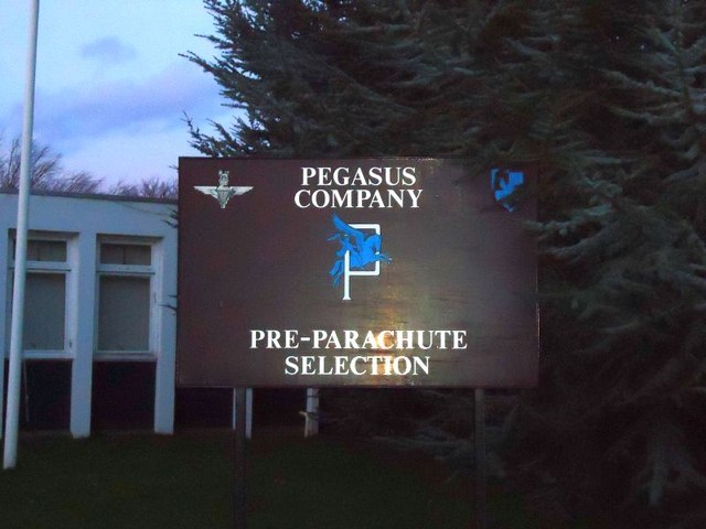
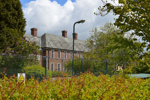
![Catterick Garrison, Vimy Barracks [2] One of the barracks on this very large camp which is part of the Infantry Training Centre. See <span class="nowrap"><a title="http://www.army.mod.uk/training_education/training/18145.aspx" rel="nofollow ugc noopener" href="http://www.army.mod.uk/training_education/training/18145.aspx">Link</a><img style="margin-left:2px;" alt="External link" title="External link - shift click to open in new window" src="https://s1.geograph.org.uk/img/external.png" width="10" height="10"/></span>](https://s2.geograph.org.uk/geophotos/02/58/74/2587418_b65843d3.jpg)
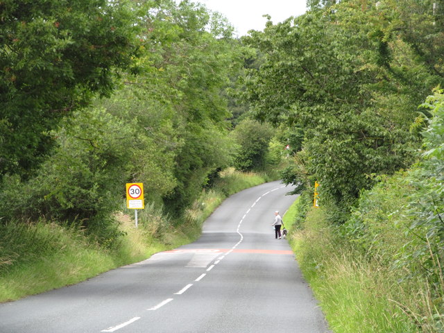
![Catterick Garrison, Vimy Barracks [3] View along Queens Avenue.](https://s3.geograph.org.uk/geophotos/02/58/74/2587423_09ba10bd.jpg)
Brownie Wood is located at Grid Ref: SE1897 (Lat: 54.369989, Lng: -1.713059)
Division: North Riding
Administrative County: North Yorkshire
District: Richmondshire
Police Authority: North Yorkshire
What 3 Words
///copy.album.replayed. Near Catterick Garrison, North Yorkshire
Nearby Locations
Related Wikis

A6136 road
The A6136 is a 4 digit A road in North Yorkshire, England. It runs between the A6108 Queen's Road, in the market town of Richmond, before terminating on...

Duchess of Kent Military Hospital
The Duchess of Kent Military Hospital was an army hospital and nurse training facility in Catterick Garrison, North Yorkshire, England. == History... ==
Catterick Camp railway station
Catterick Camp railway station was a railway station in what is now the Richmondshire district of North Yorkshire, England. It was built as the terminus...
Garrison FM
Garrison FM was a network of radio stations in the United Kingdom serving British Army bases around the country between 2001 and 2013. The stations broadcast...
Risedale School
Risedale School (formerly Risedale Sports and Community College) is a coeducational secondary school situated in Hipswell, Catterick Garrison, North Yorkshire...

Catterick Garrison
Catterick Garrison is a major garrison and military town 3 miles (5 km) south of Richmond, North Yorkshire, England. It is the largest British Army garrison...
Army Ground, Catterick
The Army Ground was a cricket ground in Catterick Garrison, North Yorkshire. The Garrison was established in 1914 and construction of a cricket ground...

Hipswell
Hipswell is a village and civil parish in the Richmondshire district of North Yorkshire, England. The civil parish mainly comprises the northern part of...
Nearby Amenities
Located within 500m of 54.369989,-1.713059Have you been to Brownie Wood?
Leave your review of Brownie Wood below (or comments, questions and feedback).