Clarendon Park
Civil Parish in Wiltshire
England
Clarendon Park
Clarendon Park is a civil parish located in the county of Wiltshire, England. It is situated approximately 5 miles southwest of Salisbury, the county town. The parish covers an area of about 4 square miles and is home to a small population of around 200 residents.
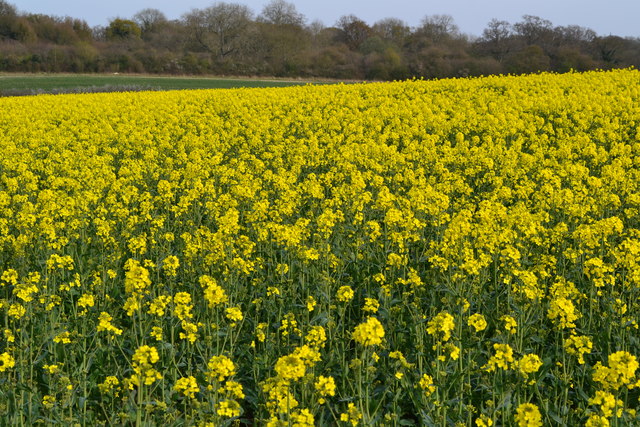
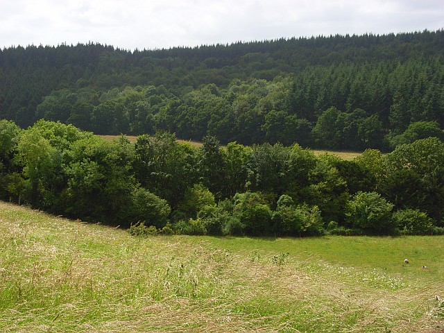
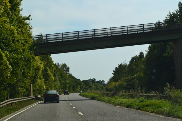
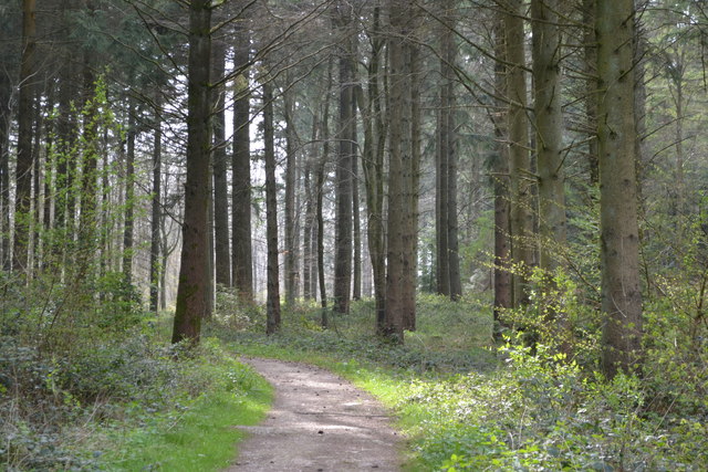
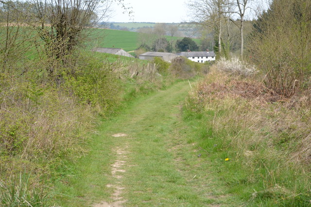
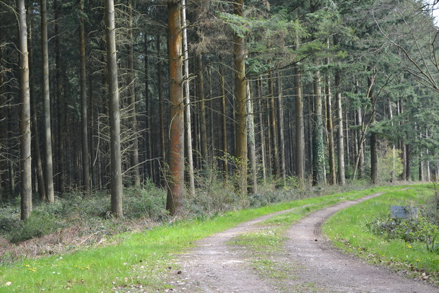
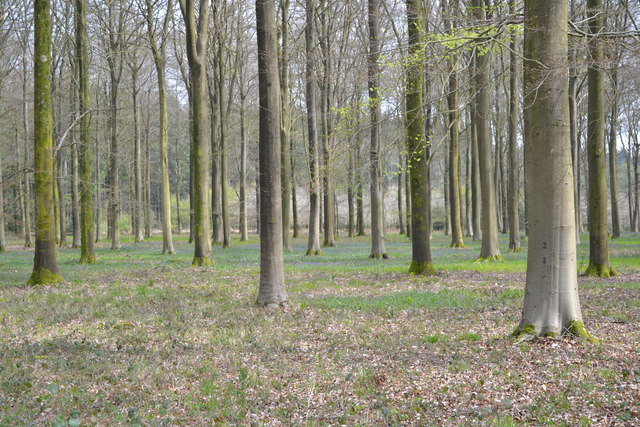
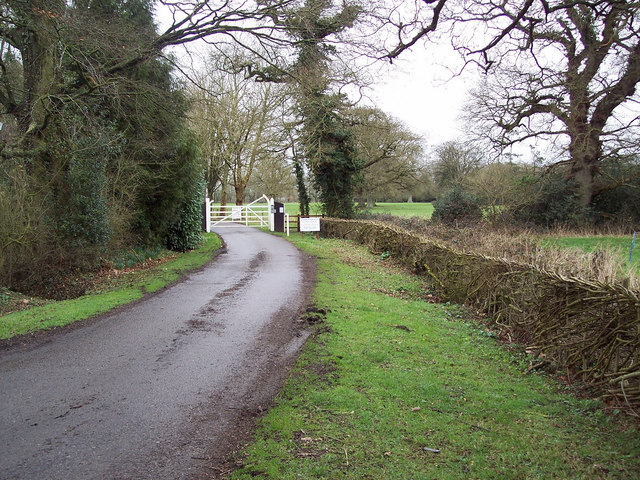
The area is predominantly rural and characterized by its picturesque countryside surroundings. Clarendon Park is known for its beautiful landscapes, including rolling hills, woodlands, and meadows, making it an ideal location for outdoor activities such as hiking and cycling. The parish is also home to the Clarendon Way, a popular long-distance footpath that runs from Salisbury to Winchester, passing through the area.
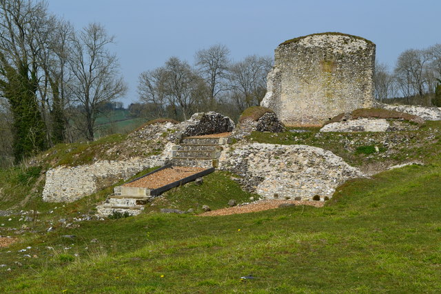
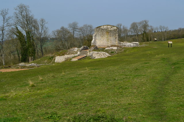
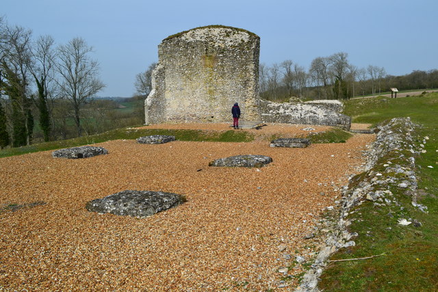
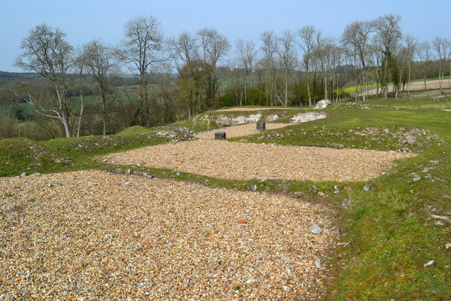
Historically, Clarendon Park was part of the royal hunting grounds and was once home to a royal hunting lodge. The ruins of the Clarendon Palace, a medieval palace built in the 12th century, can still be found within the parish. These ruins are of significant historical importance and are a popular tourist attraction.
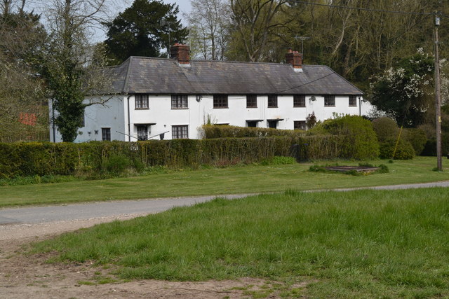
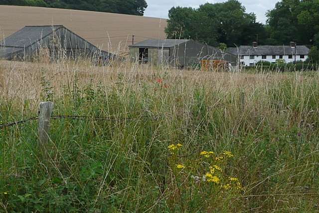
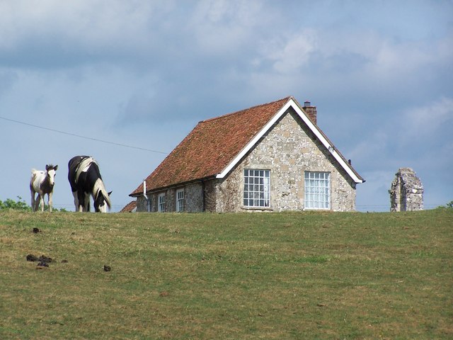
In terms of amenities and services, Clarendon Park is a relatively quiet and rural area. There are a few scattered residential properties, as well as a church and a village hall. The nearest amenities, including shops, schools, and healthcare facilities, can be found in the nearby town of Salisbury.
Overall, Clarendon Park offers a tranquil and picturesque setting for those seeking a peaceful rural lifestyle, while still being within close proximity to the amenities of Salisbury.
If you have any feedback on the listing, please let us know in the comments section below.
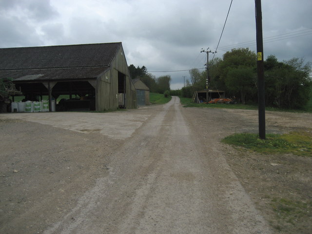
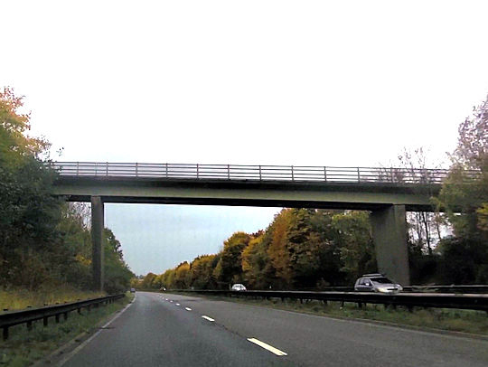
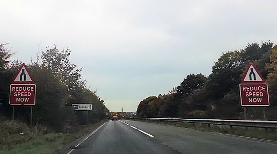
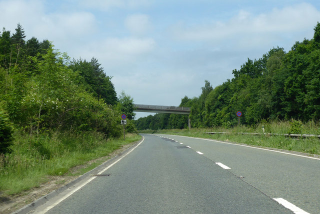
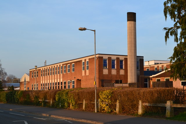
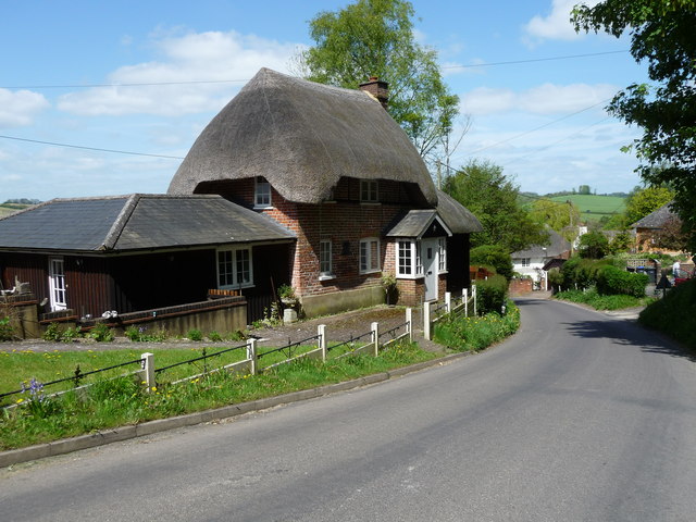
Clarendon Park Images
Images are sourced within 2km of 51.07033/-1.735054 or Grid Reference SU1830. Thanks to Geograph Open Source API. All images are credited.
Clarendon Park is located at Grid Ref: SU1830 (Lat: 51.07033, Lng: -1.735054)
Unitary Authority: Wiltshire
Police Authority: Wiltshire
What 3 Words
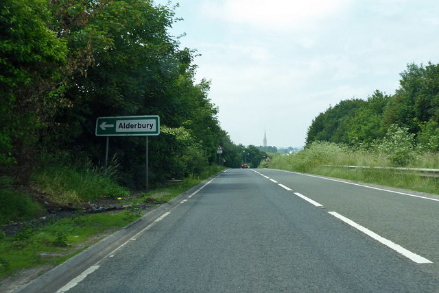
///humid.regretted.gums. Near Alderbury, Wiltshire
Nearby Locations
Related Wikis

Clarendon Palace
Clarendon Palace is a medieval ruin 2+1⁄4 miles (3.6 km) east of Salisbury in Wiltshire, England. The palace was a royal residence during the Middle Ages...
Clarendon Park, Wiltshire
Clarendon Park is a Grade I listed building, estate and civil parish near Salisbury in Wiltshire, England. At the 2011 census the population of the parish...

Cockey Down
Cockey Down (grid reference SU170317) is a 15.2 hectare biological Site of Special Scientific Interest in Wiltshire, notified in 1971. The site is managed...
Ivychurch Priory
Ivychurch Priory was a medieval monastic house in Alderbury, southeast of Salisbury, Wiltshire, England. According to Historic England, "all that remains...
Laverstock ware
Laverstock ware is a type of pottery produced from the 11th to the 14th centuries near the settlement of Laverstock in Wiltshire. The products were distributed...

St Edmund's Girls' School
St Edmund's Girls' School was an all-girls secondary school located in Laverstock, near Salisbury, south Wiltshire, England. In 2022 the school formally...
Wyvern St Edmund's
Wyvern St Edmund's is a coeducational secondary school in Laverstock, near Salisbury in the English county of Wiltshire. == History == The school opened...
Pitton
Pitton is a village in Wiltshire, England, about 7 miles (11 km) east of Salisbury, just off the A30 London Road. == History == A Roman road (now a bridleway...
Nearby Amenities
Located within 500m of 51.07033,-1.735054Have you been to Clarendon Park?
Leave your review of Clarendon Park below (or comments, questions and feedback).