King Manor Hill
Hill, Mountain in Wiltshire
England
King Manor Hill
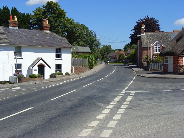
King Manor Hill is a prominent natural feature located in the county of Wiltshire, England. Situated in the southern part of the county, this hill is part of the Cranborne Chase and West Wiltshire Downs Area of Outstanding Natural Beauty. With an elevation of 244 meters (801 feet), King Manor Hill offers breathtaking panoramic views of the surrounding countryside.
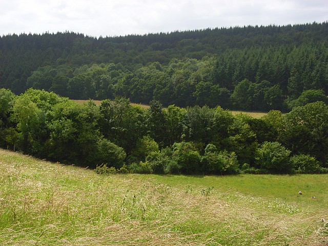
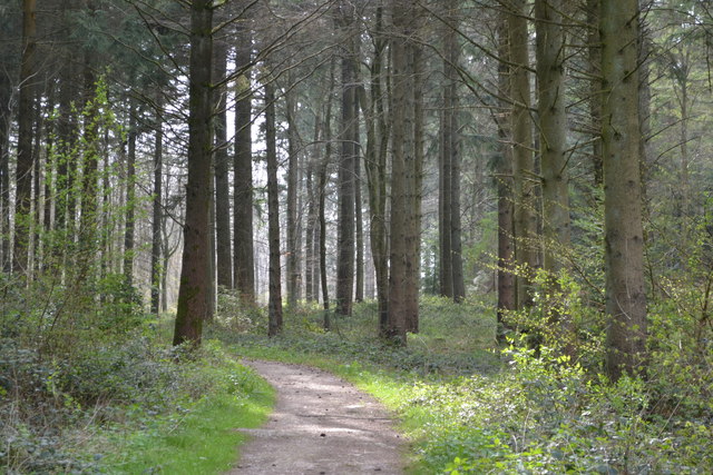
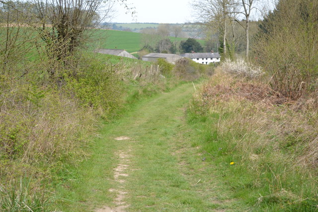
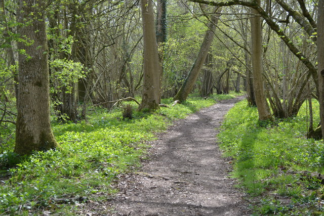
The hill itself is covered in lush green grass, dotted with patches of vibrant wildflowers during the summer months. It is primarily composed of chalk, a characteristic geology of the region, which gives the hill a distinctive white appearance. This chalky terrain is also responsible for the presence of several dry valleys on the hillside, adding to its scenic beauty.
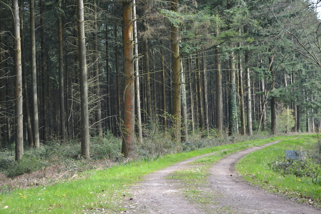
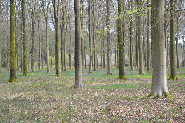
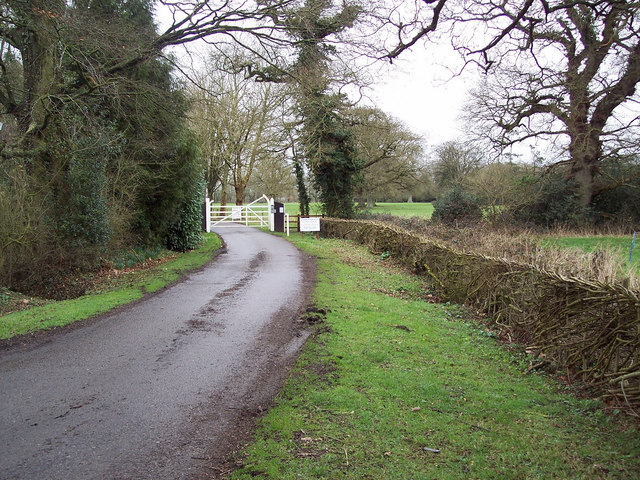
King Manor Hill is a popular destination for outdoor enthusiasts, attracting hikers, walkers, and nature lovers. There are several well-marked trails and footpaths that crisscross the hill, allowing visitors to explore its diverse flora and fauna. The hill is home to a variety of plant species, including orchids, and provides a habitat for numerous bird species, such as skylarks and kestrels.
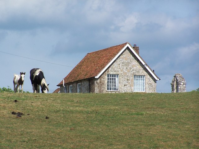
The hill's historical significance is another draw for visitors. It is named after the nearby King Manor, a historic manor house dating back to the 17th century. The hill offers stunning views of the manor and its surrounding estate, providing a glimpse into the area's rich heritage.
Overall, King Manor Hill is a picturesque and historically significant natural landmark that offers visitors the opportunity to immerse themselves in the beauty of the Wiltshire countryside while enjoying its diverse wildlife and stunning views.
If you have any feedback on the listing, please let us know in the comments section below.
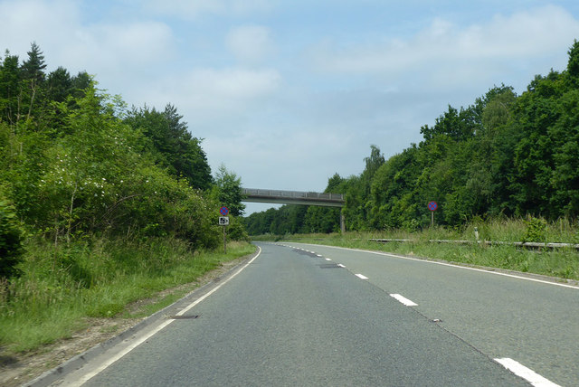
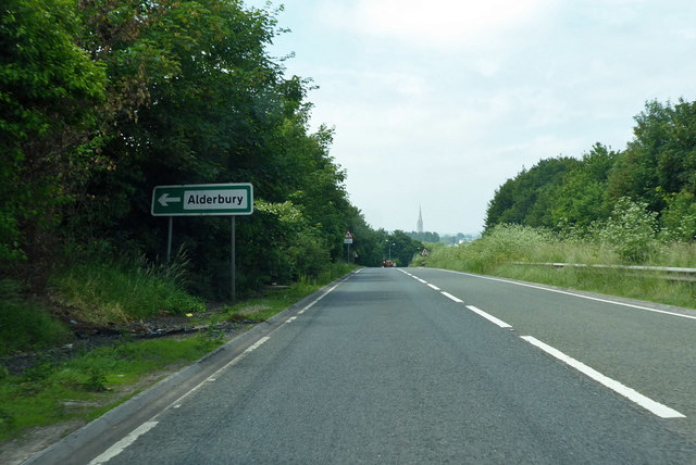
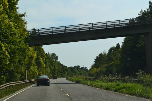
King Manor Hill Images
Images are sourced within 2km of 51.070156/-1.7396367 or Grid Reference SU1830. Thanks to Geograph Open Source API. All images are credited.

King Manor Hill is located at Grid Ref: SU1830 (Lat: 51.070156, Lng: -1.7396367)
Unitary Authority: Wiltshire
Police Authority: Wiltshire
What 3 Words
///honey.ranches.dispenser. Near Alderbury, Wiltshire
Nearby Locations
Related Wikis

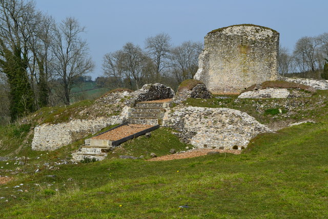
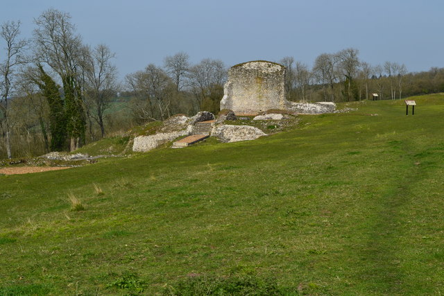
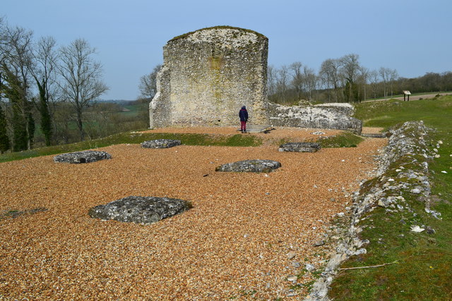
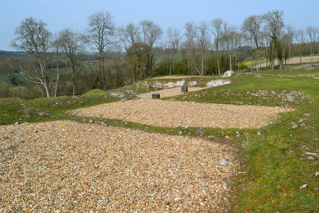
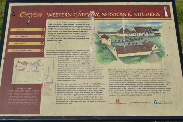
Clarendon Palace
Clarendon Palace is a medieval ruin 2+1⁄4 miles (3.6 km) east of Salisbury in Wiltshire, England. The palace was a royal residence during the Middle Ages...
Clarendon Park, Wiltshire
Clarendon Park is a Grade I listed building, estate and civil parish near Salisbury in Wiltshire, England. At the 2011 census the population of the parish...

Cockey Down
Cockey Down (grid reference SU170317) is a 15.2 hectare biological Site of Special Scientific Interest in Wiltshire, notified in 1971. The site is managed...
Laverstock ware
Laverstock ware is a type of pottery produced from the 11th to the 14th centuries near the settlement of Laverstock in Wiltshire. The products were distributed...
Ivychurch Priory
Ivychurch Priory was a medieval monastic house in Alderbury, southeast of Salisbury, Wiltshire, England. According to Historic England, "all that remains...

St Edmund's Girls' School
St Edmund's Girls' School was an all-girls secondary school located in Laverstock, near Salisbury, south Wiltshire, England. In 2022 the school formally...
Wyvern St Edmund's
Wyvern St Edmund's is a coeducational secondary school in Laverstock, near Salisbury in the English county of Wiltshire. == History == The school opened...
Laverstock
Laverstock is a village and civil parish on the north-east and east outskirts of Salisbury in the ceremonial county of Wiltshire, England. The parish is...
Nearby Amenities
Located within 500m of 51.070156,-1.7396367Have you been to King Manor Hill?
Leave your review of King Manor Hill below (or comments, questions and feedback).