Bakewell Road Plantation
Wood, Forest in Derbyshire Derbyshire Dales
England
Bakewell Road Plantation
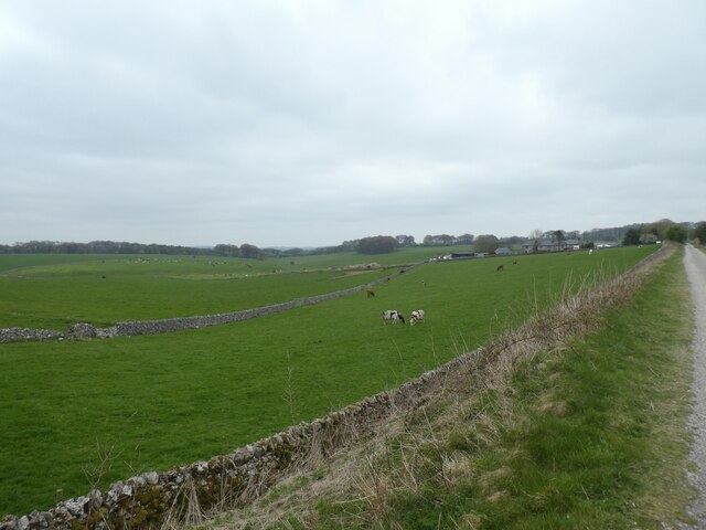
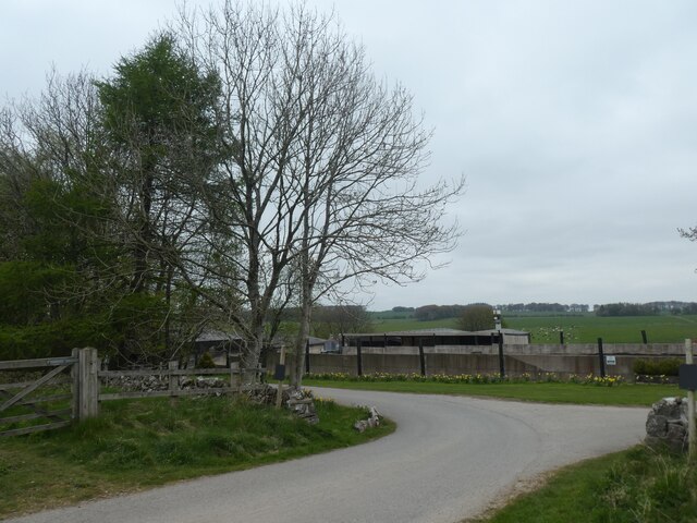
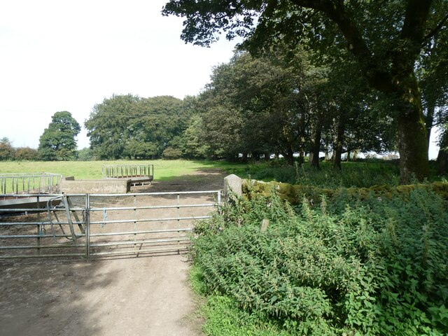
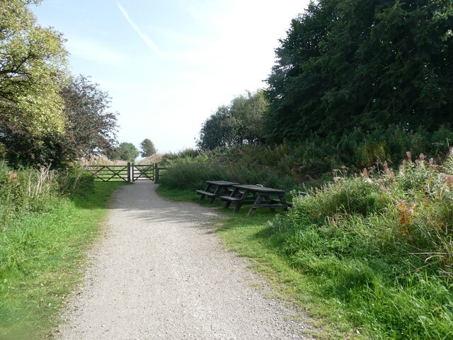
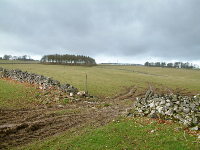
Bakewell Road Plantation is a picturesque woodland located in Derbyshire, England. Situated along Bakewell Road, the plantation covers a vast area of land and is known for its diverse range of trees and thriving ecosystem.
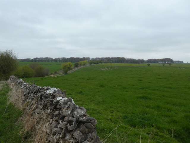
The plantation is primarily composed of deciduous trees, such as oak, beech, and ash, which provide a stunning display of colors during the autumn season. These trees have been carefully maintained over the years, resulting in a well-manicured and healthy woodland. Additionally, there are various coniferous trees, including pine and spruce, which provide a contrasting green hue throughout the year.
The plantation serves as a vital habitat for a wide range of wildlife. Squirrels can often be spotted darting among the trees, and a variety of birds such as woodpeckers, owls, and finches call the woodland their home. The dense vegetation and undergrowth provide shelter and food sources for smaller animals and insects, contributing to the overall biodiversity of the area.
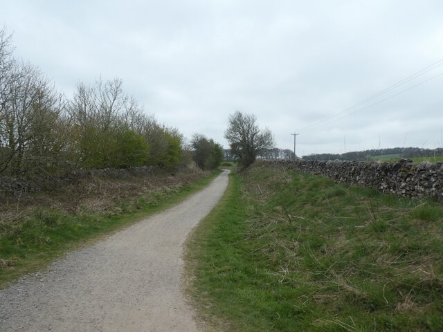
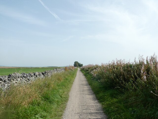
Bakewell Road Plantation is a popular destination for nature enthusiasts and hikers due to its well-maintained footpaths and trails. Visitors can enjoy peaceful walks through the woodland, taking in the sights and sounds of nature. The plantation also offers opportunities for outdoor activities such as birdwatching and photography.
Overall, Bakewell Road Plantation is a stunning woodland in Derbyshire, offering a tranquil escape from the hustle and bustle of everyday life. With its diverse range of trees, thriving ecosystem, and recreational opportunities, it is a must-visit destination for nature lovers and those seeking a connection with the natural world.
If you have any feedback on the listing, please let us know in the comments section below.
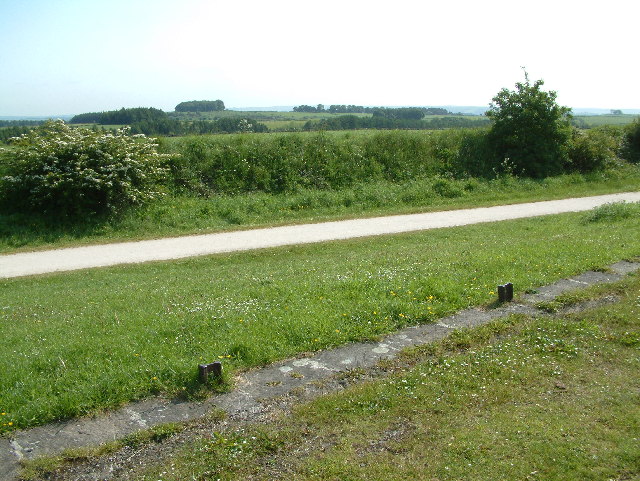
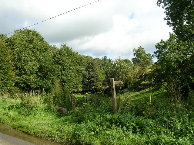
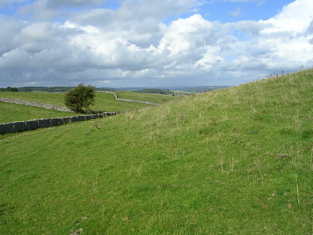
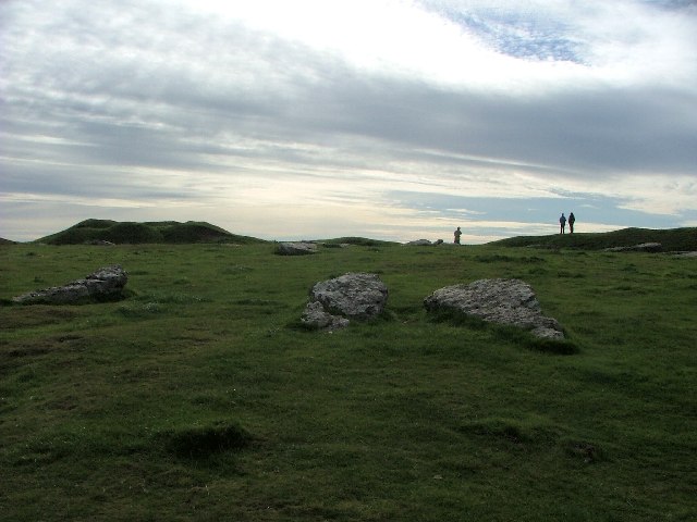
Bakewell Road Plantation Images
Images are sourced within 2km of 53.158428/-1.7325457 or Grid Reference SK1762. Thanks to Geograph Open Source API. All images are credited.

Bakewell Road Plantation is located at Grid Ref: SK1762 (Lat: 53.158428, Lng: -1.7325457)
Administrative County: Derbyshire
District: Derbyshire Dales
Police Authority: Derbyshire
What 3 Words
///headers.dreamers.jiffy. Near Newhaven, Derbyshire
Related Wikis


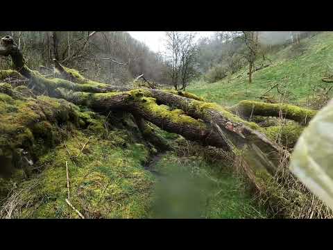
Related Videos

Walking in Peak District, the Square.
Short walk in Sunday October on the dog level in Derbyshire, Middleton by Youlgrave.

Camping day 🏕
A perfect weekend in Derbyshire, camping . #camping #Derbyshire #summer #me #green #grass #nature #peace #явмоменте ...
Peak District Trip
My recent trip to the Peak District National Park, i have visited the Peak District a lot of times but this was an area i have not ...
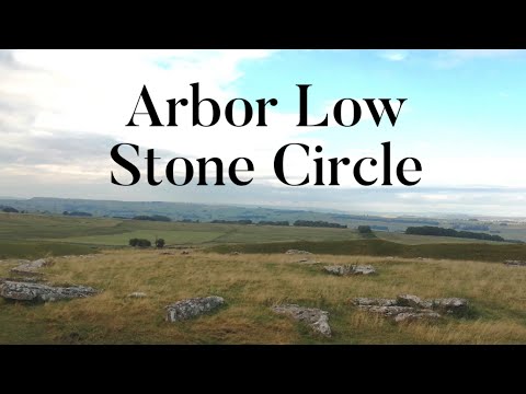
Arbor Low Stone Circle | Week in The Peaks 2021 - PART 3
arborlow #stonecircle #peakdistrict #derbyshire #bakewell Join as we discover a fascinating neolithic stone circle in the Peak ...
Nearby Amenities
Located within 500m of 53.158428,-1.7325457Have you been to Bakewell Road Plantation?
Leave your review of Bakewell Road Plantation below (or comments, questions and feedback).