Holt Wood
Wood, Forest in Yorkshire Harrogate
England
Holt Wood
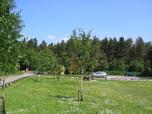
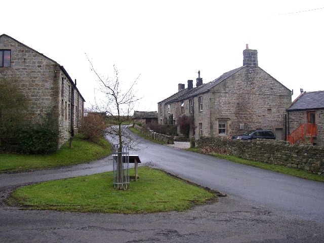
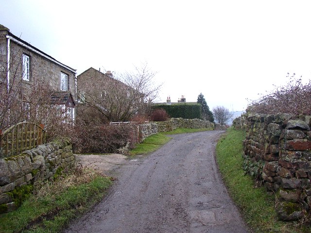
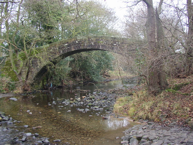
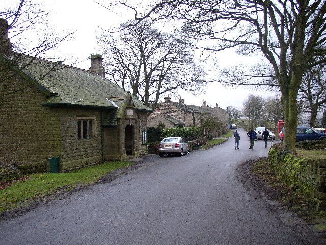
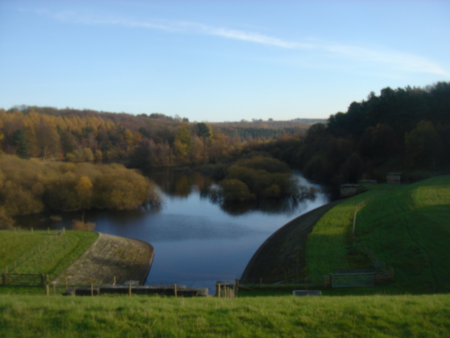
Holt Wood, located in Yorkshire, is a picturesque forest that offers visitors a tranquil and immersive natural experience. Covering a vast area, the wood is renowned for its stunning beauty and diverse flora and fauna.
The wood is home to a rich variety of trees, including oak, beech, and birch, which create a lush and verdant canopy. Walking through the wood, visitors can enjoy the dappled sunlight filtering through the branches, creating an enchanting atmosphere. The forest floor is carpeted with wildflowers and moss, adding to the overall charm of the wood.
Holt Wood is not only visually appealing but also a haven for wildlife. The forest provides a habitat for numerous species, including deer, foxes, and a wide range of bird species. Visitors may be lucky enough to spot these creatures as they explore the wood.
For nature enthusiasts, Holt Wood offers a range of activities. There are well-maintained walking paths that allow visitors to explore the wood at their own pace. The wood also has designated picnic areas where visitors can relax and enjoy the serene surroundings. Additionally, there are educational programs and guided tours available for those interested in learning more about the local flora and fauna.
In conclusion, Holt Wood in Yorkshire is a nature lover's paradise. With its breathtaking scenery, diverse wildlife, and recreational activities, it offers a perfect escape from the hustle and bustle of everyday life. Whether visitors are seeking a peaceful stroll or an educational adventure, Holt Wood provides an unforgettable experience for all.
If you have any feedback on the listing, please let us know in the comments section below.
Holt Wood Images
Images are sourced within 2km of 53.962496/-1.7273391 or Grid Reference SE1751. Thanks to Geograph Open Source API. All images are credited.


Holt Wood is located at Grid Ref: SE1751 (Lat: 53.962496, Lng: -1.7273391)
Division: West Riding
Administrative County: North Yorkshire
District: Harrogate
Police Authority: North Yorkshire
What 3 Words
///notes.lost.twee. Near Burley in Wharfedale, West Yorkshire
Nearby Locations
Related Wikis

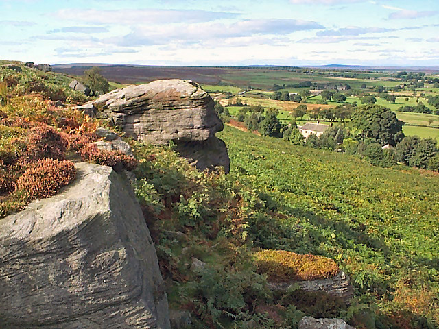
Snowden Crags
Snowden Crags is a prehistoric archaeological site on Askwith Moor in North Yorkshire, England. Local antiquarian Eric Cowling recorded a stone circle...

Fewston
Fewston is a village and civil parish in the Harrogate district of North Yorkshire, England. It is situated north of Otley and close to Swinsty and Fewston...

Timble
Timble is a village in the Harrogate district of North Yorkshire, England. It is situated on the slopes of the Washburn valley, north of Otley and close...
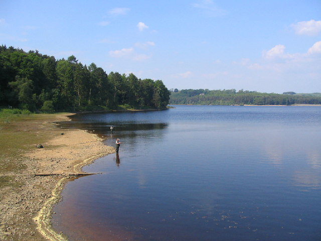
Swinsty Reservoir
Swinsty Reservoir is a reservoir in the Washburn valley north of Otley and west of Harrogate in Yorkshire, England. Construction began in 1871 and was...

Fewston Reservoir
Fewston Reservoir is located in the Washburn valley north of Otley and west of Harrogate in Yorkshire, England. It was built in 1879. The capacity is about...

Norwood, North Yorkshire
Norwood is a civil parish in the Harrogate district of North Yorkshire, England. According to the 2001 UK census, Norwood parish had a population of 200...

Blubberhouses
Blubberhouses is a small village and civil parish in the Washburn Valley in North Yorkshire, England. The population as at the 2011 Census was less than...
Newall with Clifton
Newall with Clifton (historically also spelt Newell with Clifton) is a civil parish in North Yorkshire, England. It lies two miles north of Otley in West...
Related Videos

GoPro 7 black walking around Fewston reservoir
My first attempt at a VLOG using my new GoPro 7 Black.

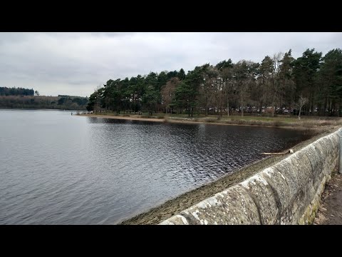
Swinsty Reservoir
https://www.outdoorswimmingsociety.com/understanding-reservoirs/ ...
Swinsty Reservoir Walk - the calming effects of water!
Well-maintain paths. Some hilly areas. Combination of woodland, waterside, and road along route. Most mobility aids will fair well ...
Timble Ings
My first ever attempt at a Vlog.
Nearby Amenities
Located within 500m of 53.962496,-1.7273391Have you been to Holt Wood?
Leave your review of Holt Wood below (or comments, questions and feedback).