Four Lane End Plantation
Wood, Forest in Derbyshire Derbyshire Dales
England
Four Lane End Plantation
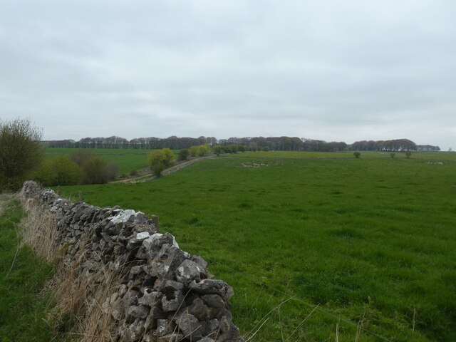
Four Lane End Plantation, located in Derbyshire, England, is a charming woodland area renowned for its picturesque beauty and diverse range of flora and fauna. Spanning over an area of approximately 100 acres, this forested paradise offers a tranquil escape for nature enthusiasts and hikers alike.
The plantation is characterized by a mix of deciduous and coniferous trees, including oak, beech, pine, and spruce, creating a rich and vibrant tapestry of colors throughout the seasons. The forest floor is adorned with an array of wildflowers, mosses, and ferns, providing a habitat for numerous small mammals, birds, and insects.
Winding pathways meander through the plantation, allowing visitors to explore its depths and uncover hidden gems along the way. These paths cater to all levels of fitness, from gentle strolls to more challenging hikes, offering breathtaking views of the surrounding countryside and glimpses of wildlife.
Four Lane End Plantation is also home to a diverse range of wildlife. The forest provides an ideal habitat for deer, foxes, badgers, and a variety of bird species, including woodpeckers, owls, and jays. Nature lovers can often spot these creatures in their natural habitat, making it a popular spot for wildlife photography and birdwatching.
The plantation is open to the public year-round, attracting visitors from near and far who seek solace in its tranquility and wish to immerse themselves in the beauty of nature. Whether it be a leisurely stroll, a family picnic, or a quest to discover the hidden treasures of Derbyshire's woodlands, Four Lane End Plantation offers a memorable and enchanting experience for all who venture within its boundaries.
If you have any feedback on the listing, please let us know in the comments section below.
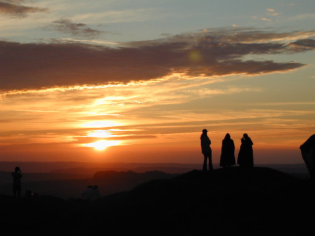
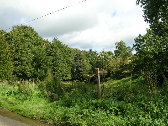
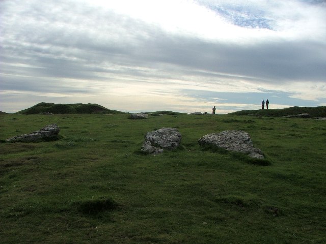
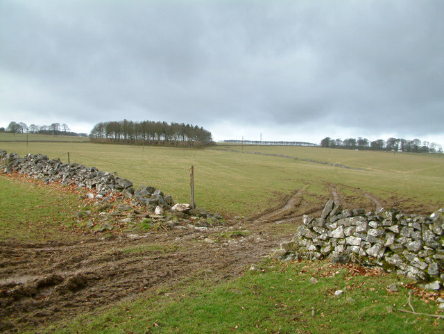
Four Lane End Plantation Images
Images are sourced within 2km of 53.161675/-1.7331388 or Grid Reference SK1762. Thanks to Geograph Open Source API. All images are credited.


Four Lane End Plantation is located at Grid Ref: SK1762 (Lat: 53.161675, Lng: -1.7331388)
Administrative County: Derbyshire
District: Derbyshire Dales
Police Authority: Derbyshire
What 3 Words
///rocket.cavalier.declining. Near Newhaven, Derbyshire
Related Wikis

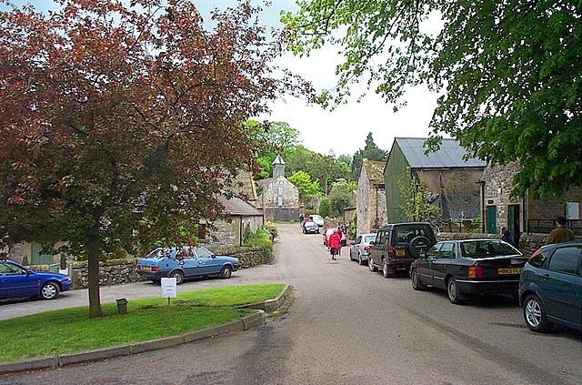
Middleton and Smerrill
Middleton and Smerrill is a civil parish within the Derbyshire Dales district, in the county of Derbyshire, England. Largely rural except for the village...

Middleton-by-Youlgreave
Middleton, often known as Middleton-by-Youlgreave or Middleton-by-Youlgrave to distinguish it from nearby Middleton-by-Wirksworth, is a village in the...

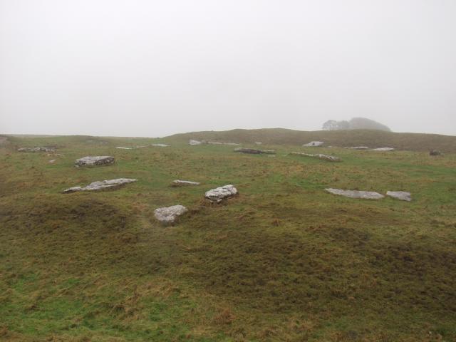
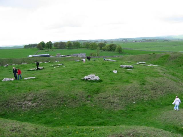
Arbor Low
Arbor Low is a well-preserved Neolithic henge in the Derbyshire Peak District, England. It lies on a Carboniferous Limestone plateau known as the White...

Friden Goods Yard
Friden Goods Yard was a goods station located on the Cromford and High Peak Railway near the villages of Friden in Derbyshire. Mostly for moving mineral...

Gib Hill
Gib Hill is a large burial mound in the Peak District, Derbyshire, England. It is thought to be a Neolithic oval barrow with an Early Bronze Age round...

Friden, Derbyshire
Friden is a hamlet in the civil parish of Hartington Nether Quarter, Derbyshire, England. It is 11 miles (18 km) south-east of Buxton, just off the Newhaven...

High Peak Trail
The High Peak Trail is a 17-mile (27 km) trail for walkers, cyclists and horse riders in the Peak District of England. Running from Dowlow (53.2059°N 1...
Limey Way
The Limey Way is a 65-kilometre (40 mi) challenge walk through Derbyshire, England. It starts at Castleton and progresses through 15 major and 5 minor...
Nearby Amenities
Located within 500m of 53.161675,-1.7331388Have you been to Four Lane End Plantation?
Leave your review of Four Lane End Plantation below (or comments, questions and feedback).