Brick Kiln Coppice

Wood, Forest in Warwickshire Warwick

England

Brick Kiln Coppice

Drawbridge Farm Bridge, Stratford Canal A hired narrowboat approached bridge 28, one of three lift bridges on the northern section of the Stratford Canal between King's Norton Junction and Kingswood Junction. The bridge is operated by boaters using a windlass.
Drawbridge Farm Bridge, Stratford Canal Credit: Stephen McKay

Brick Kiln Coppice is a picturesque woodland located in Warwickshire, England. Covering an area of approximately 50 acres, this enchanting forest is renowned for its natural beauty and rich biodiversity. It is situated near the village of Honiley, just a short distance from the historic town of Warwick.

This ancient woodland is predominantly made up of mature broadleaf trees, including oak, ash, and beech, which have flourished over several centuries. The dense canopy of these towering trees provides a cool and tranquil atmosphere, making it a perfect escape from the hustle and bustle of everyday life.

The forest floor is adorned with a diverse array of wildflowers, including bluebells, wood anemones, and primroses, which create a vibrant carpet of color during the spring months. This abundance of flora attracts a multitude of wildlife, including various species of birds, butterflies, and small mammals.

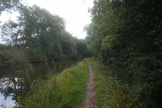
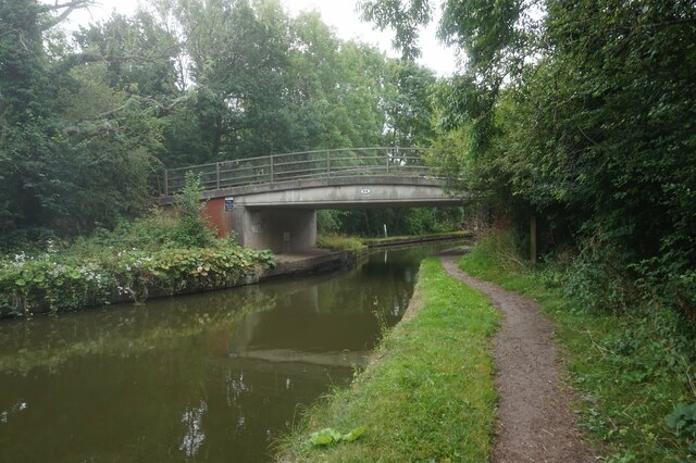
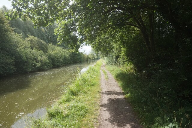
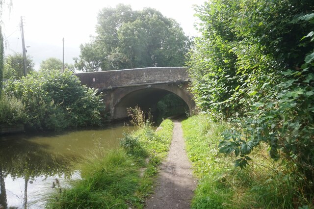
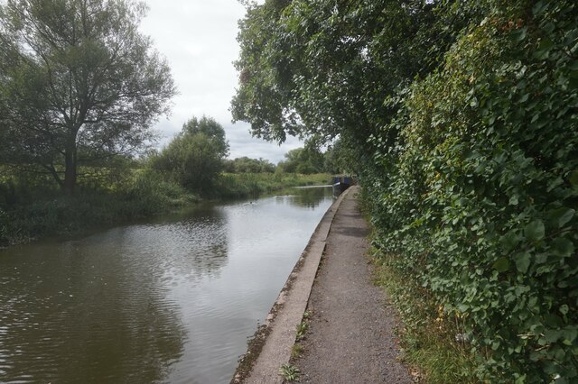
A network of well-maintained footpaths and trails wind their way through the woodland, offering visitors the opportunity to explore and immerse themselves in the natural surroundings. These paths lead to hidden glades, secluded clearings, and a small stream, providing idyllic spots for picnics or quiet contemplation.

Brick Kiln Coppice is a popular destination for nature lovers, walkers, and photographers alike. Its tranquil ambiance, stunning scenery, and rich biodiversity make it a true gem in the heart of Warwickshire.

If you have any feedback on the listing, please let us know in the comments section below.

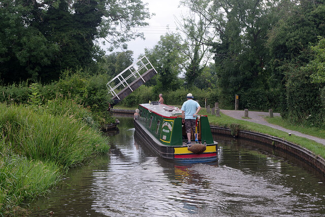
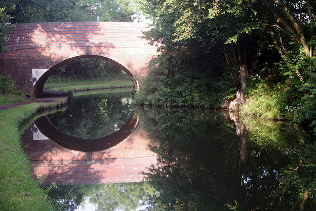
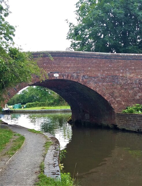
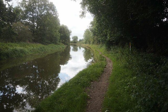
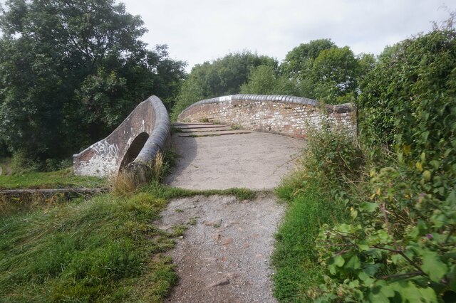
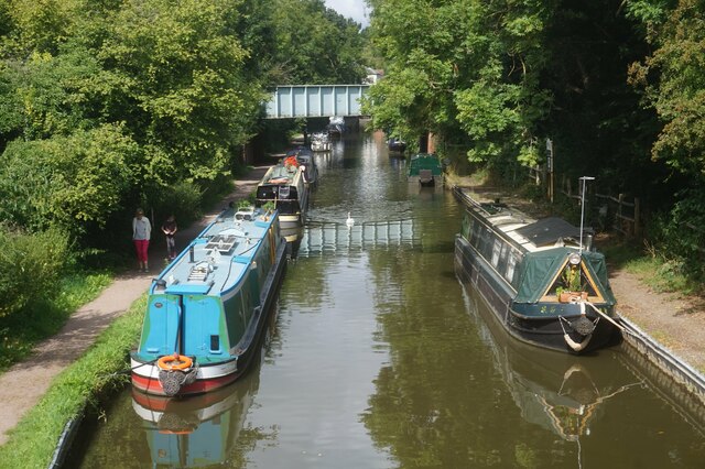
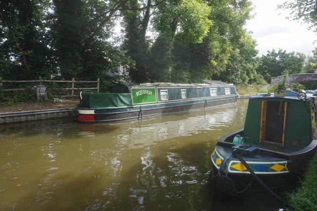
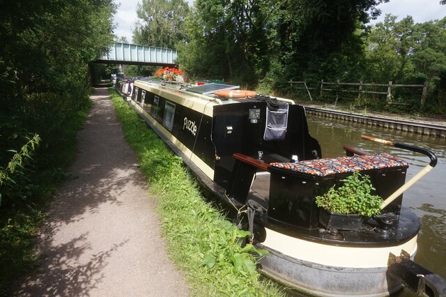
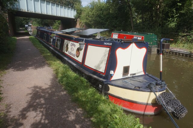
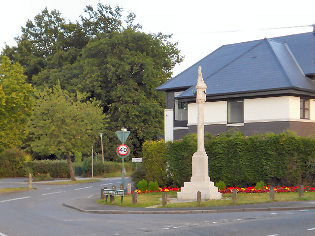
Brick Kiln Coppice Images

Images are sourced within 2km of 52.345586/-1.7422143 or Grid Reference SP1771. Thanks to Geograph Open Source API. All images are credited.

Drawbridge Farm Bridge, Stratford Canal A hired narrowboat approached bridge 28, one of three lift bridges on the northern section of the Stratford Canal between King's Norton Junction and Kingswood Junction. The bridge is operated by boaters using a windlass.
Drawbridge Farm Bridge, Stratford Canal
A hired narrowboat approached bridge 28, one of three lift bridges on the northern section of the Stratford Canal between King's Norton Junction and Kingswood Junction. The bridge is operated by boaters using a windlass.
Bridge 31, Stratford Canal Early morning sunshine has created a near perfect reflection of the bridge in the canal water. Bridge 31 is located between locks 5 and 6 on the Lapworth Flight.
Bridge 31, Stratford Canal
Early morning sunshine has created a near perfect reflection of the bridge in the canal water. Bridge 31 is located between locks 5 and 6 on the Lapworth Flight.
Bridge 27, Stratford-upon-Avon Canal
Grand Union Canal towards bridge #66
Pipes over the Grand Union Canal near bridge #66
Grand Union Canal towards bridge #66
Grand Union Canal at Rising Lane Bridge, bridge 66
Canal boat Zenith #2, Grand Union Canal
Grand Union Canal towards bridge #65
Grand Union Canal at Old Warwick Road Bridge, bridge #65
Grand Union Canal towards Kingswood Junction
Bridge 37 at Kingswood Junction
Kingswood Arm off the Grand Union Canal
Canal Boat Equinox, Kingswood Arm
Canal Boat Puzzle, Kingswood Arm
Canal Boat Queen Hadassah, Kingswood Arm
Show me another place!

Brick Kiln Coppice is located at Grid Ref: SP1771 (Lat: 52.345586, Lng: -1.7422143)

Administrative County: Warwickshire

District: Warwick

Police Authority: Warwickshire

What 3 Words

///slate.birdcage.scarf. Near Hockley Heath, West Midlands

Related Wikis

Packwood House

Packwood House is a timber-framed Tudor manor house in Packwood on the Solihull border near Lapworth, Warwickshire. Owned by the National Trust since...

Packwood, England

Packwood is a medieval settlement and former civil parish of 1760 acres, now in the counties of the West Midlands and Warwickshire, England. In 1194 the...

Lapworth railway station

Lapworth railway station serves the village of Kingswood, Warwickshire, near the village of Lapworth from which it takes its name. It has two platforms...

Kingswood, Warwickshire

Kingswood is an area in the civil parishes of Lapworth and Rowington in Warwick District, Warwickshire, England. It forms the main residential area of...

Kingswood Junction

Kingswood Junction (grid reference SP185709) is a canal junction where the Stratford-upon-Avon Canal meets the Grand Union Canal at Kingswood, Warwickshire...

Lapworth

Lapworth is a village and civil parish in Warwickshire, England, which had a population of 2,100 according to the 2001 census; this had fallen to 1,828...

Baddesley Clinton

Baddesley Clinton (grid reference SP199714) is a moated manor house, about 8 miles (13 km) north-west of the town of Warwick, in the village of Baddesley...

Hockley Heath

Hockley Heath is a large village and civil parish in the Arden area mostly within the Metropolitan Borough of Solihull, West Midlands, England. It incorporates...

Nearby Amenities

Located within 500m of 52.345586,-1.7422143
Entrance: yes
Source: survey
Lat/Long: 52.3480786/-1.7463086
Entrance: main
Lat/Long: 52.3477904/-1.7466492
Cafe
The Garden Kitchen
Dog: no
Operator: National Trust
Lat/Long: 52.3489347/-1.7454763
Toilets
Access: customers
Changing Table: yes
Fee: no
Operator: National Trust
Operator Type: charitable
Operator Wikidata: Q333515
Source: survey
Toilets Disposal: flush
Lat/Long: 52.3488391/-1.746079
Defibrillator
Emergency: defibrillator
Ref GB The Circuit: F0D53314-A80D-4CB1-AE90-9BB95D41980B
Source: survey
Lat/Long: 52.3490429/-1.745723
Entrance: yes
Lat/Long: 52.348879/-1.7457609
Sundials Gift Shop
Operator: National Trust
Shop: gift
Lat/Long: 52.3479599/-1.7463992
Shop: ticket
Lat/Long: 52.3488986/-1.7456747
Power: pole
Source: bing
Lat/Long: 52.3452076/-1.737999
Power: pole
Source: bing
Lat/Long: 52.3459204/-1.7378354
Power: pole
Source: bing
Lat/Long: 52.3465807/-1.7375994
Power: pole
Source: bing
Lat/Long: 52.3473295/-1.7373419
Power: pole
Source: bing
Lat/Long: 52.348075/-1.7370871
Power: pole
Source: bing
Lat/Long: 52.3428497/-1.7367813
Power: pole
Source: bing
Lat/Long: 52.3437821/-1.7374626
Little Rising La.11kV
Power: pole
Ref: 720608
Source: wpd_opendata
Transformer: distribution
Lat/Long: 52.344077/-1.7407671
Power: pole
Source: bing
Lat/Long: 52.3448373/-1.7395118
Power: pole
Source: bing
Lat/Long: 52.3447308/-1.7381814
Generator Method: photovoltaic
Generator Output Electricity: yes
Generator Source: solar
Generator Type: solar_photovoltaic_panel
Location: roof
Power: generator
Lat/Long: 52.3446505/-1.7361671
Power: pole
Source: bing
Lat/Long: 52.3464021/-1.7415261
Power: pole
Ref: 720610
Source: wpd_opendata
Transformer: distribution
Lat/Long: 52.3453748/-1.7448695
Power: pole
Source: bing
Lat/Long: 52.3454903/-1.7437282
Power: pole
Source: bing
Lat/Long: 52.3455976/-1.742603
Power: pole
Source: bing
Lat/Long: 52.3472165/-1.7403942
Power: pole
Source: bing
Lat/Long: 52.3472648/-1.7389901
Crossing
Lat/Long: 52.34627/-1.7446796
Access: permissive
Barrier: swing_gate
Bicycle: no
Horse: no
Material: wood
Motor Vehicle: no
Wheelchair: limited
Lat/Long: 52.3459497/-1.748324
Pipeline: valve
Lat/Long: 52.3474734/-1.7478744
The data included in this document is from www.openstreetmap.org. The data is made available under ODbL.

Have you been to Brick Kiln Coppice?

Leave your review of Brick Kiln Coppice below (or comments, questions and feedback).