Pratt's Pit

Lake, Pool, Pond, Freshwater Marsh in Warwickshire Warwick

England

Pratt's Pit

M40 east of Lapworth Street Basically southbound, seen across a field of wheat where the line of the footpath has been very clearly defined. The footpath strays into this square as it rounds the south side of a former pond. Now, as in many other examples, the pond is lost somewhere in a dense thicket of trees and bushes.
M40 east of Lapworth Street Credit: Robin Stott

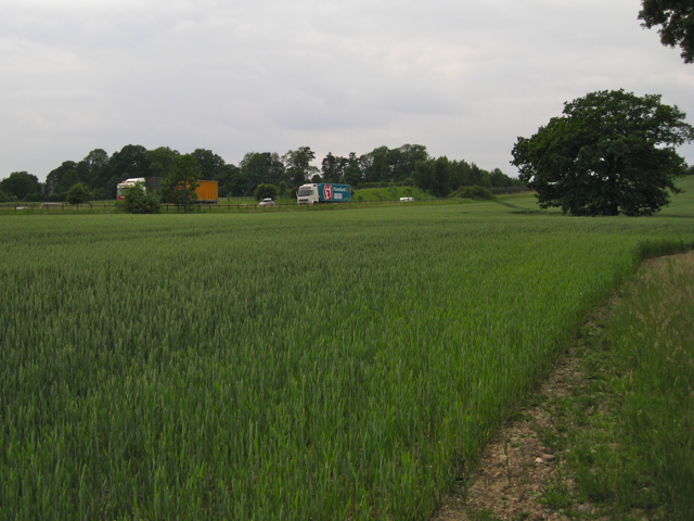
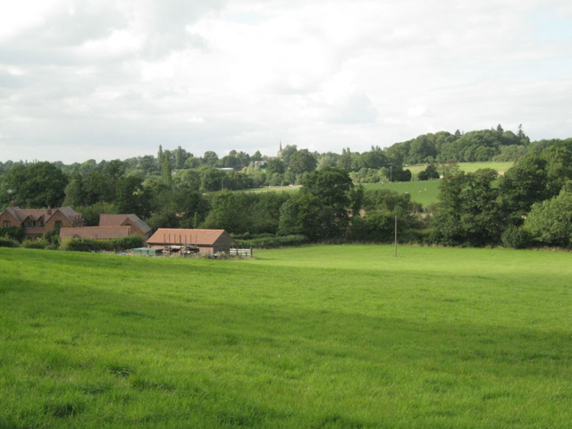
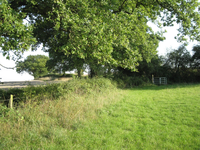
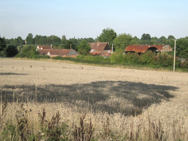
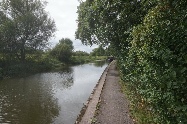
Pratt's Pit, located in Warwickshire, England, is a picturesque freshwater marsh encompassing a lake, pool, and pond. Nestled amidst rolling hills and lush greenery, this natural treasure covers an area of approximately 10 acres.

The main feature of Pratt's Pit is the pristine lake, which spans about 2 acres. With its crystal-clear water, it serves as a habitat for a diverse range of aquatic flora and fauna. The lake is surrounded by reeds and rushes, providing a haven for numerous bird species, including ducks, geese, and herons. These birds can often be seen gracefully gliding across the water or perched on the branches of surrounding trees.

Adjacent to the lake is a smaller pool, approximately half an acre in size. This pool is home to several species of fish, such as perch and roach, attracting anglers who enjoy the peacefulness of the surroundings while trying their luck at fishing.

In addition to the lake and pool, Pratt's Pit boasts a charming pond, covering around 0.5 acres. This tranquil spot is teeming with aquatic plants and small invertebrates, creating an ideal habitat for frogs, newts, and dragonflies.

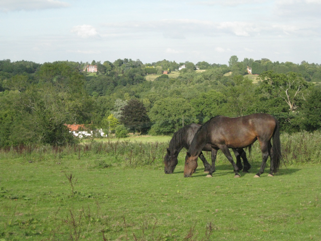
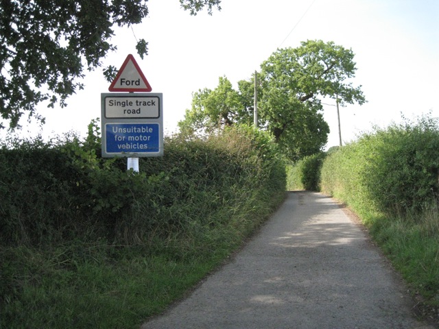
The entire area is a haven for nature enthusiasts, offering a variety of walking trails and observation points. Visitors can enjoy the serenity of the marsh, immerse themselves in the sounds of nature, and witness the interconnectedness of its ecosystems.

Pratt's Pit, with its beautiful lake, pool, and pond, is a sanctuary of biodiversity, providing a valuable habitat for a multitude of species and serving as a recreational destination for those seeking solace in nature.

If you have any feedback on the listing, please let us know in the comments section below.
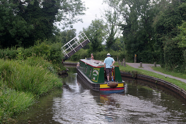
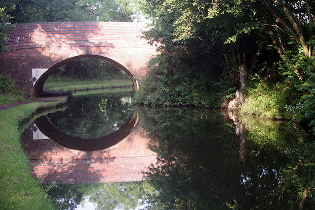
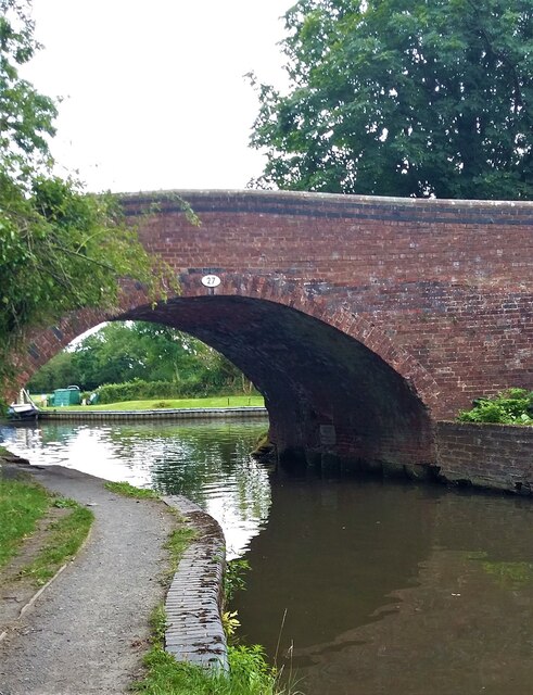
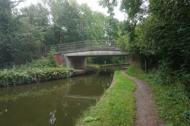
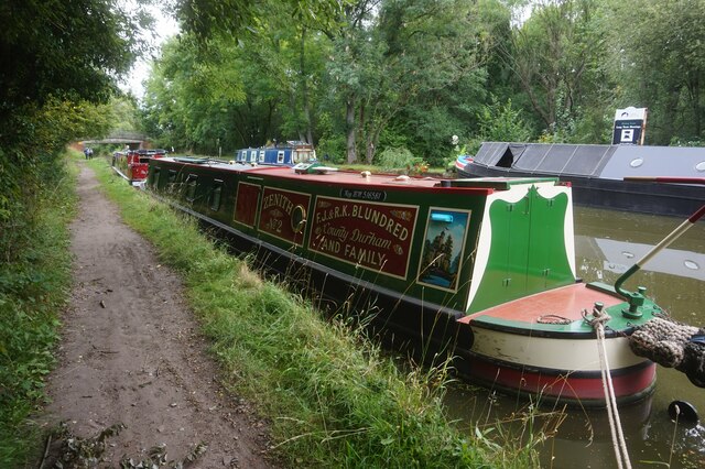
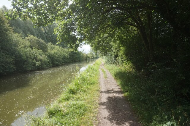
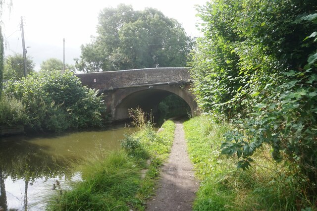
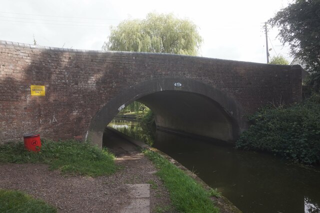
Pratt's Pit Images

Images are sourced within 2km of 52.343597/-1.7456167 or Grid Reference SP1771. Thanks to Geograph Open Source API. All images are credited.

M40 east of Lapworth Street Basically southbound, seen across a field of wheat where the line of the footpath has been very clearly defined. The footpath strays into this square as it rounds the south side of a former pond. Now, as in many other examples, the pond is lost somewhere in a dense thicket of trees and bushes.
M40 east of Lapworth Street
Basically southbound, seen across a field of wheat where the line of the footpath has been very clearly defined. The footpath strays into this square as it rounds the south side of a former pond. Now, as in many other examples, the pond is lost somewhere in a dense thicket of trees and bushes.
View north across the Tapster valley A well-heeled, well-fed landscape. The Tapster Brook runs across the centre of the photo, left to right, past Tapster Brook Cottage <a href="https://www.geograph.org.uk/gridref/SP1670">SP1670</a>. The spire of St Mary's Church, Lapworth, is just visible on the skyline, centre <a href="https://www.geograph.org.uk/gridref/SP1671">SP1671</a>. This peaceful-looking scene is accompanied by the muffled roar of the M40 in a cutting beyond the field of sheep on the right. The view is from a stile north of Tapster Mill.
View north across the Tapster valley
A well-heeled, well-fed landscape. The Tapster Brook runs across the centre of the photo, left to right, past Tapster Brook Cottage SP1670. The spire of St Mary's Church, Lapworth, is just visible on the skyline, centre SP1671. This peaceful-looking scene is accompanied by the muffled roar of the M40 in a cutting beyond the field of sheep on the right. The view is from a stile north of Tapster Mill.
A paddock above the Tapster valley This weed-infested paddock is northwest of Tapster Mill. Across the valley (and the invisible M40) are farms and properties such as Ardenhill along Lapworth Street in <a href="https://www.geograph.org.uk/gridref/SP1770">SP1770</a>.
A paddock above the Tapster valley
This weed-infested paddock is northwest of Tapster Mill. Across the valley (and the invisible M40) are farms and properties such as Ardenhill along Lapworth Street in SP1770.
Exit field by hole in hedge: 1 In the hedgerow: ash, hazel, blackthorn, hawthorn.
Exit field by hole in hedge: 1
In the hedgerow: ash, hazel, blackthorn, hawthorn.
Exit field by hole in hedge: 2 The lush green paddock on the north-facing hillside above Tapster Cottage. In the next field, ripe wheat. Big spreading oaks in the hedgerows.
Exit field by hole in hedge: 2
The lush green paddock on the north-facing hillside above Tapster Cottage. In the next field, ripe wheat. Big spreading oaks in the hedgerows.
Hole House Lane near Yew Tree Farm Looking west. The farm is behind the camera. This end of winding Hole House Lane is prefaced with warning signs - Ford, Single track road, Unsuitable for motor vehicles - all the more inviting!
Hole House Lane near Yew Tree Farm
Looking west. The farm is behind the camera. This end of winding Hole House Lane is prefaced with warning signs - Ford, Single track road, Unsuitable for motor vehicles - all the more inviting!
Yew Tree Farm from the west The view is from the east end of Hole House Lane. The southern leg of Tapster Lane here turns south (right). Yew Tree Lane on the left turns some sharp bends before joining Lapworth Street.
Yew Tree Farm from the west
The view is from the east end of Hole House Lane. The southern leg of Tapster Lane here turns south (right). Yew Tree Lane on the left turns some sharp bends before joining Lapworth Street.
Yew Tree Farm by Tapster Lane With a yew tree, far left. Note the weatherboarding on the gable of the barn, left of centre. Whether this is still a working farm isn't clear. The houses look smart while the ancillary farm buildings …
Yew Tree Farm by Tapster Lane
With a yew tree, far left. Note the weatherboarding on the gable of the barn, left of centre. Whether this is still a working farm isn't clear. The houses look smart while the ancillary farm buildings …
Yew Tree Farm
Yew Tree Farm
Drawbridge Farm Bridge, Stratford Canal A hired narrowboat approached bridge 28, one of three lift bridges on the northern section of the Stratford Canal between King's Norton Junction and Kingswood Junction. The bridge is operated by boaters using a windlass.
Drawbridge Farm Bridge, Stratford Canal
A hired narrowboat approached bridge 28, one of three lift bridges on the northern section of the Stratford Canal between King's Norton Junction and Kingswood Junction. The bridge is operated by boaters using a windlass.
Bridge 31, Stratford Canal Early morning sunshine has created a near perfect reflection of the bridge in the canal water. Bridge 31 is located between locks 5 and 6 on the Lapworth Flight.
Bridge 31, Stratford Canal
Early morning sunshine has created a near perfect reflection of the bridge in the canal water. Bridge 31 is located between locks 5 and 6 on the Lapworth Flight.
Bridge 27, Stratford-upon-Avon Canal
Grand Union Canal at Rising Lane Bridge, bridge 66
Canal boat Zenith #2, Grand Union Canal
Grand Union Canal towards bridge #65
Grand Union Canal at Old Warwick Road Bridge, bridge #65
Grand Union Canal towards Kingswood Junction
Show me another place!

Pratt's Pit is located at Grid Ref: SP1771 (Lat: 52.343597, Lng: -1.7456167)

Administrative County: Warwickshire

District: Warwick

Police Authority: Warwickshire

What 3 Words

///burden.scatter.comical. Near Hockley Heath, West Midlands

Related Wikis

Packwood House

Packwood House is a timber-framed Tudor manor house in Packwood on the Solihull border near Lapworth, Warwickshire. Owned by the National Trust since...

Packwood, England

Packwood is a medieval settlement and former civil parish of 1760 acres, now in the counties of the West Midlands and Warwickshire, England. In 1194 the...

Lapworth

Lapworth is a village and civil parish in Warwickshire, England, which had a population of 2,100 according to the 2001 census; this had fallen to 1,828...

Lapworth railway station

Lapworth railway station serves the village of Kingswood, Warwickshire, near the village of Lapworth from which it takes its name. It has two platforms...

Kingswood, Warwickshire

Kingswood is an area in the civil parishes of Lapworth and Rowington in Warwick District, Warwickshire, England. It forms the main residential area of...

Kingswood Junction

Kingswood Junction (grid reference SP185709) is a canal junction where the Stratford-upon-Avon Canal meets the Grand Union Canal at Kingswood, Warwickshire...

Baddesley Clinton

Baddesley Clinton (grid reference SP199714) is a moated manor house, about 8 miles (13 km) north-west of the town of Warwick, in the village of Baddesley...

Hockley Heath

Hockley Heath is a large village and civil parish in the Arden area mostly within the Metropolitan Borough of Solihull, West Midlands, England. It incorporates...

Nearby Amenities

Located within 500m of 52.343597,-1.7456167
Seamark Type: gate
Waterway: lock_gate
Lat/Long: 52.3408188/-1.7402016
Seamark Type: gate
Waterway: lock_gate
Lat/Long: 52.3405793/-1.7424099
Seamark Type: gate
Waterway: lock_gate
Lat/Long: 52.3408817/-1.7412185
Entrance: main
Lat/Long: 52.3477904/-1.7466492
Seamark Type: gate
Waterway: lock_gate
Lat/Long: 52.3408442/-1.7415464
Seamark Type: gate
Waterway: lock_gate
Lat/Long: 52.3408574/-1.7405464
Seamark Type: gate
Waterway: lock_gate
Lat/Long: 52.3404461/-1.7426792
Barrier: kissing_gate
Lat/Long: 52.345019/-1.749877
Barrier: kissing_gate
Lat/Long: 52.3470074/-1.7498017
Sundials Gift Shop
Operator: National Trust
Shop: gift
Lat/Long: 52.3479599/-1.7463992
Turning Loop
Lat/Long: 52.3420268/-1.7467673
Little Rising La.11kV
Power: pole
Ref: 720608
Source: wpd_opendata
Transformer: distribution
Lat/Long: 52.344077/-1.7407671
Power: pole
Source: bing
Lat/Long: 52.3448373/-1.7395118
Power: pole
Source: bing
Lat/Long: 52.3464021/-1.7415261
Power: pole
Ref: 720610
Source: wpd_opendata
Transformer: distribution
Lat/Long: 52.3453748/-1.7448695
Power: pole
Source: bing
Lat/Long: 52.3454903/-1.7437282
Power: pole
Source: bing
Lat/Long: 52.3455976/-1.742603
Crossing
Lat/Long: 52.34627/-1.7446796
Access: permissive
Barrier: swing_gate
Bicycle: no
Horse: no
Material: wood
Motor Vehicle: no
Wheelchair: limited
Lat/Long: 52.3459497/-1.748324
Pipeline: valve
Valve: gate
Lat/Long: 52.3469544/-1.7497201
Pipeline: valve
Lat/Long: 52.3474734/-1.7478744
The data included in this document is from www.openstreetmap.org. The data is made available under ODbL.

Have you been to Pratt's Pit?

Leave your review of Pratt's Pit below (or comments, questions and feedback).