Lapworth

Civil Parish in Warwickshire Warwick

England

Lapworth

M40 crosses unclassified county road
M40 crosses unclassified county road Credit: Robin Stott

Lapworth is a civil parish located in Warwickshire, England. It is situated approximately 11 miles southeast of Birmingham and 13 miles northwest of Warwick. The parish covers an area of about 11 square miles and is home to a population of around 2,000 residents.

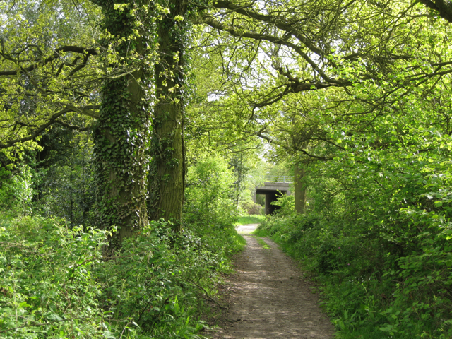
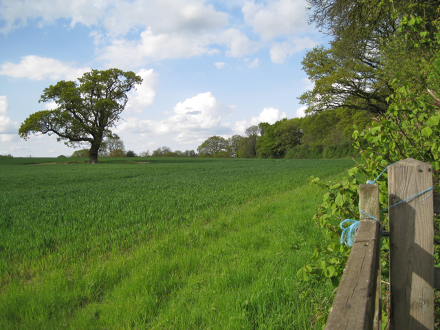
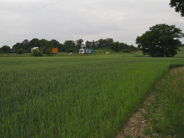
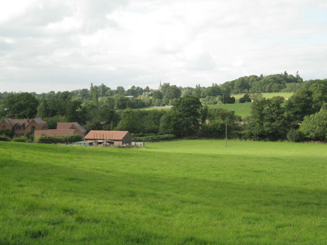
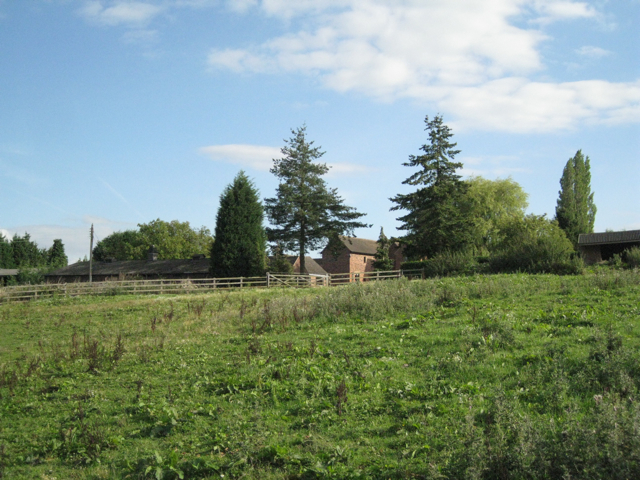
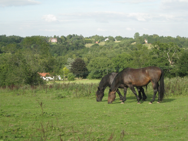
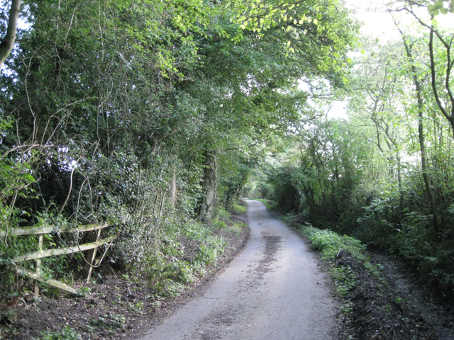
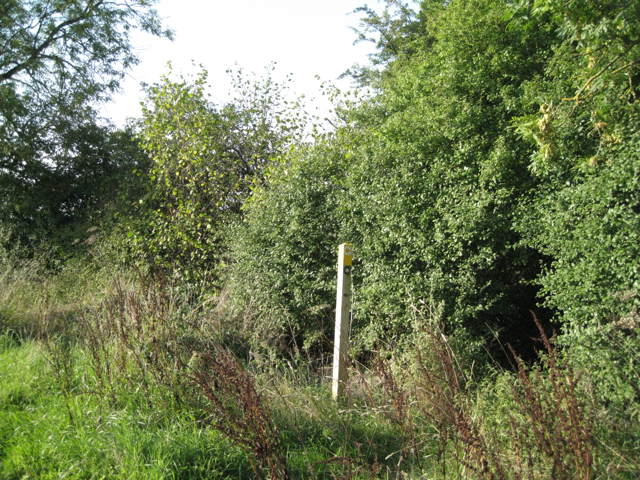
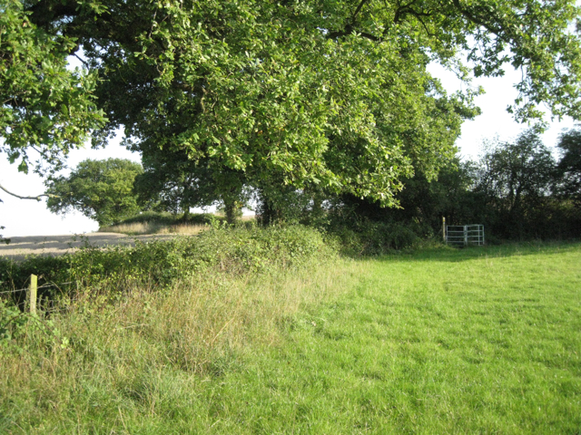
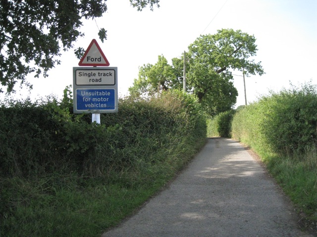
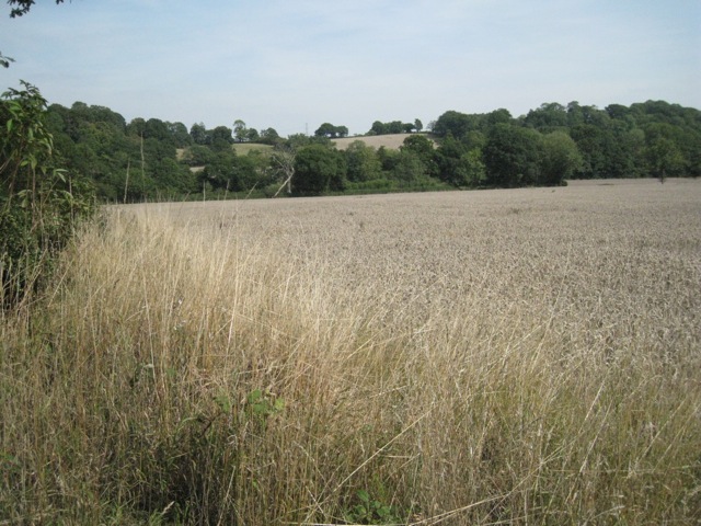
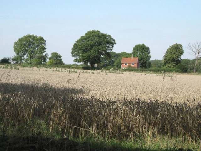
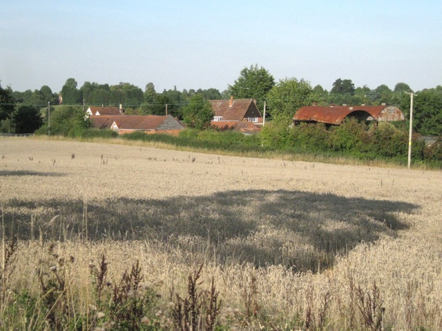
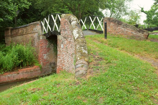
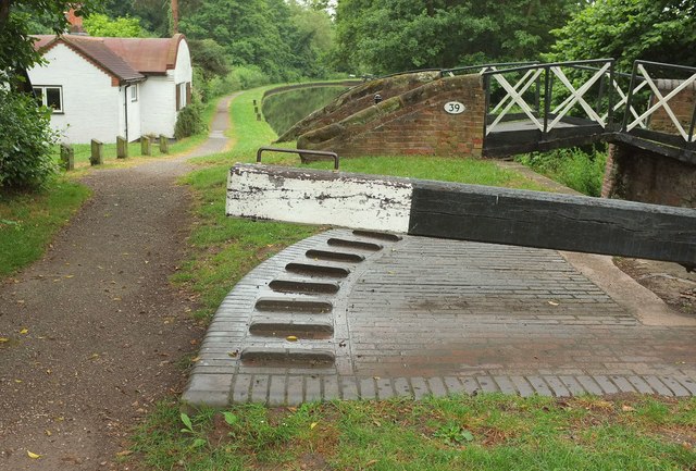
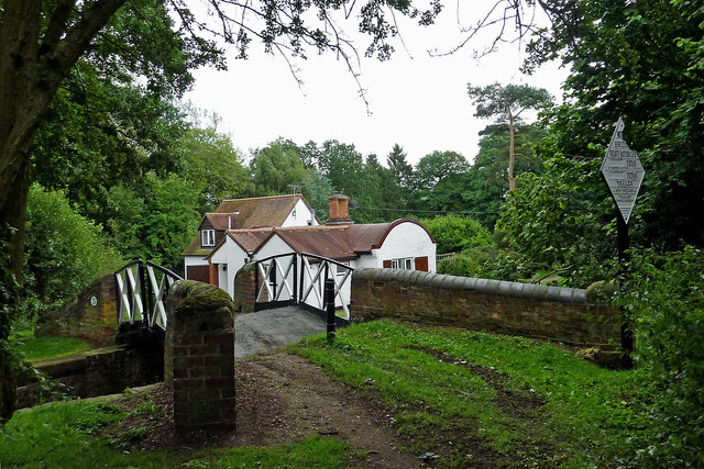
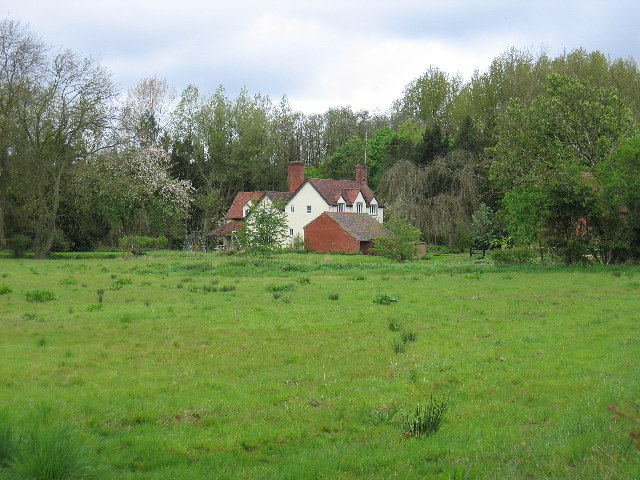
Lapworth is known for its picturesque countryside and charming rural setting. The parish is primarily composed of farmland, fields, and woodlands, providing a tranquil and serene environment for its inhabitants. The Grand Union Canal runs through the area, offering scenic views and recreational opportunities for boating enthusiasts and nature lovers.

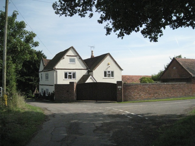
The village of Lapworth itself is a small and close-knit community, with a range of amenities and services available for residents. These include a primary school, a village hall, a post office, a pub, and a few local shops. The village also has a historic church, St. Mary the Virgin, which dates back to the 12th century and is a significant architectural landmark in the area.

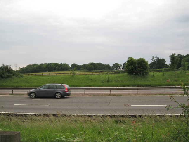
Lapworth is well-connected to nearby towns and cities, with good transport links. The village is accessible via the A4141 road and has a train station, Lapworth railway station, which provides regular services to Birmingham and London.

Overall, Lapworth offers a peaceful and idyllic countryside living experience, with a strong sense of community and a range of amenities to cater to its residents' needs.

If you have any feedback on the listing, please let us know in the comments section below.

Lapworth Images

Images are sourced within 2km of 52.340709/-1.747079 or Grid Reference SP1771. Thanks to Geograph Open Source API. All images are credited.

M40 crosses unclassified county road
Lonesome oak The site of a grubbed-out hedge is easily seen. A copse to the west survives (off to the left). On the right, trees line the unclassified county road which, behind the camera, is about to pass under the M40. The continuous snarl of motorway traffic makes it a less-than idyllic spot.
Lonesome oak
The site of a grubbed-out hedge is easily seen. A copse to the west survives (off to the left). On the right, trees line the unclassified county road which, behind the camera, is about to pass under the M40. The continuous snarl of motorway traffic makes it a less-than idyllic spot.
Pepper's Hill across the M40
M40 east of Lapworth Street Basically southbound, seen across a field of wheat where the line of the footpath has been very clearly defined. The footpath strays into this square as it rounds the south side of a former pond. Now, as in many other examples, the pond is lost somewhere in a dense thicket of trees and bushes.
M40 east of Lapworth Street
Basically southbound, seen across a field of wheat where the line of the footpath has been very clearly defined. The footpath strays into this square as it rounds the south side of a former pond. Now, as in many other examples, the pond is lost somewhere in a dense thicket of trees and bushes.
View north across the Tapster valley A well-heeled, well-fed landscape. The Tapster Brook runs across the centre of the photo, left to right, past Tapster Brook Cottage <a href="https://www.geograph.org.uk/gridref/SP1670">SP1670</a>. The spire of St Mary's Church, Lapworth, is just visible on the skyline, centre <a href="https://www.geograph.org.uk/gridref/SP1671">SP1671</a>. This peaceful-looking scene is accompanied by the muffled roar of the M40 in a cutting beyond the field of sheep on the right. The view is from a stile north of Tapster Mill.
View north across the Tapster valley
A well-heeled, well-fed landscape. The Tapster Brook runs across the centre of the photo, left to right, past Tapster Brook Cottage SP1670. The spire of St Mary's Church, Lapworth, is just visible on the skyline, centre SP1671. This peaceful-looking scene is accompanied by the muffled roar of the M40 in a cutting beyond the field of sheep on the right. The view is from a stile north of Tapster Mill.
A glimpse of Tapster Mill The name Tapster Mill doesn't appear on maps until the 1960s. Before that it was Windmill Farm, with Tapster Lane coming straight up the hill to the site. The Ordnance Survey Old Series map shows a windmill here. Today, the former farm buildings appear to be divided into residential units. The view is from a weed-ridden paddock that the public footpath passes through.
A glimpse of Tapster Mill
The name Tapster Mill doesn't appear on maps until the 1960s. Before that it was Windmill Farm, with Tapster Lane coming straight up the hill to the site. The Ordnance Survey Old Series map shows a windmill here. Today, the former farm buildings appear to be divided into residential units. The view is from a weed-ridden paddock that the public footpath passes through.
A paddock above the Tapster valley This weed-infested paddock is northwest of Tapster Mill. Across the valley (and the invisible M40) are farms and properties such as Ardenhill along Lapworth Street in <a href="https://www.geograph.org.uk/gridref/SP1770">SP1770</a>.
A paddock above the Tapster valley
This weed-infested paddock is northwest of Tapster Mill. Across the valley (and the invisible M40) are farms and properties such as Ardenhill along Lapworth Street in SP1770.
Looking up Hole House Lane Ditches, where they exist, have been cleaned out for the whole length of the lane. It is almost a tunnel of greenery. One of the features of this type of landscape - characterised as Ancient Arden - is a network of narrow, winding lanes, often confined by tall hedgebanks.
Looking up Hole House Lane
Ditches, where they exist, have been cleaned out for the whole length of the lane. It is almost a tunnel of greenery. One of the features of this type of landscape - characterised as Ancient Arden - is a network of narrow, winding lanes, often confined by tall hedgebanks.
Exit field by hole in hedge: 1 In the hedgerow: ash, hazel, blackthorn, hawthorn.
Exit field by hole in hedge: 1
In the hedgerow: ash, hazel, blackthorn, hawthorn.
Exit field by hole in hedge: 2 The lush green paddock on the north-facing hillside above Tapster Cottage. In the next field, ripe wheat. Big spreading oaks in the hedgerows.
Exit field by hole in hedge: 2
The lush green paddock on the north-facing hillside above Tapster Cottage. In the next field, ripe wheat. Big spreading oaks in the hedgerows.
Hole House Lane near Yew Tree Farm Looking west. The farm is behind the camera. This end of winding Hole House Lane is prefaced with warning signs - Ford, Single track road, Unsuitable for motor vehicles - all the more inviting!
Hole House Lane near Yew Tree Farm
Looking west. The farm is behind the camera. This end of winding Hole House Lane is prefaced with warning signs - Ford, Single track road, Unsuitable for motor vehicles - all the more inviting!
Yew Tree Farm from the west The view is from the east end of Hole House Lane. The southern leg of Tapster Lane here turns south (right). Yew Tree Lane on the left turns some sharp bends before joining Lapworth Street.
Yew Tree Farm from the west
The view is from the east end of Hole House Lane. The southern leg of Tapster Lane here turns south (right). Yew Tree Lane on the left turns some sharp bends before joining Lapworth Street.
Low hills near Copt Green Beyond the tree-fringed Tapster Brook is Windmill Hill on the left and Pepper's Hill on the right (south). Lapworth Street runs just beyond the crest.
Low hills near Copt Green
Beyond the tree-fringed Tapster Brook is Windmill Hill on the left and Pepper's Hill on the right (south). Lapworth Street runs just beyond the crest.
Keepers Cottage, Copt Green Seen from Bushwood Lane across a field of wheat.
Keepers Cottage, Copt Green
Seen from Bushwood Lane across a field of wheat.
Yew Tree Farm by Tapster Lane With a yew tree, far left. Note the weatherboarding on the gable of the barn, left of centre. Whether this is still a working farm isn't clear. The houses look smart while the ancillary farm buildings …
Yew Tree Farm by Tapster Lane
With a yew tree, far left. Note the weatherboarding on the gable of the barn, left of centre. Whether this is still a working farm isn't clear. The houses look smart while the ancillary farm buildings …
Dick's Lane Bridge A listed bridge <span class="nowrap"><a title="https://www.historicengland.org.uk/listing/the-list/list-entry/1364981" rel="nofollow ugc noopener" href="https://www.historicengland.org.uk/listing/the-list/list-entry/1364981">Link</a><img style="margin-left:2px;" alt="External link" title="External link - shift click to open in new window" src="https://s1.geograph.org.uk/img/external.png" width="10" height="10"/></span> across the Stratford-upon-Avon Canal: "cantilevered cast-iron decks  ... have x-framed integral hand rails and are split for tow ropes".
Dick's Lane Bridge
A listed bridge LinkExternal link across the Stratford-upon-Avon Canal: "cantilevered cast-iron decks ... have x-framed integral hand rails and are split for tow ropes".
At Lock 25, Stratford-upon-Avon Canal In the foreground is the balance beam for the southern lock gate; beyond is Dick's Lane Bridge <span class="nowrap"><a title="https://www.historicengland.org.uk/listing/the-list/list-entry/1364981" rel="nofollow ugc noopener" href="https://www.historicengland.org.uk/listing/the-list/list-entry/1364981">Link</a><img style="margin-left:2px;" alt="External link" title="External link - shift click to open in new window" src="https://s1.geograph.org.uk/img/external.png" width="10" height="10"/></span> ; on the left is the Lock Keeper's cottage. See also <a title="https://www.geograph.org.uk/gridref/SP1869?centi=SP186699" href="https://www.geograph.org.uk/gridref/SP1869?centi=SP186699">Link</a> .
At Lock 25, Stratford-upon-Avon Canal
In the foreground is the balance beam for the southern lock gate; beyond is Dick's Lane Bridge LinkExternal link ; on the left is the Lock Keeper's cottage. See also Link .
Dick's Lane Bridge near Turner's Green, Warwickshire Dick's Lane Bridge crosses the Stratford-upon-Avon Canal by Lock No 25 north-west of Turner's Green in Warwickshire.

<a href="https://www.geograph.org.uk/photo/6199163">SP1869 : Bridge restriction sign near Turner's Green in Warwickshire</a>
Dick's Lane Bridge near Turner's Green, Warwickshire
Dick's Lane Bridge crosses the Stratford-upon-Avon Canal by Lock No 25 north-west of Turner's Green in Warwickshire. SP1869 : Bridge restriction sign near Turner's Green in Warwickshire
Show me another place!

Lapworth is located at Grid Ref: SP1771 (Lat: 52.340709, Lng: -1.747079)

Administrative County: Warwickshire

District: Warwick

Police Authority: Warwickshire

What 3 Words

///headless.awoke.action. Near Hockley Heath, West Midlands

Related Wikis

Packwood House

Packwood House is a timber-framed Tudor manor house in Packwood on the Solihull border near Lapworth, Warwickshire. Owned by the National Trust since...

Lapworth

Lapworth is a village and civil parish in Warwickshire, England, which had a population of 2,100 according to the 2001 census; this had fallen to 1,828...

Packwood, England

Packwood is a medieval settlement and former civil parish of 1760 acres, now in the counties of the West Midlands and Warwickshire, England. In 1194 the...

Lapworth railway station

Lapworth railway station serves the village of Kingswood, Warwickshire, near the village of Lapworth from which it takes its name. It has two platforms...

Kingswood Junction

Kingswood Junction (grid reference SP185709) is a canal junction where the Stratford-upon-Avon Canal meets the Grand Union Canal at Kingswood, Warwickshire...

Kingswood, Warwickshire

Kingswood is an area in the civil parishes of Lapworth and Rowington in Warwick District, Warwickshire, England. It forms the main residential area of...

Bushwood

Bushwood is a hamlet in Warwickshire, located three miles north of Henley in Arden and a mile west of the M40 motorway. There is no village centre as such...

Baddesley Clinton

Baddesley Clinton (grid reference SP199714) is a moated manor house, about 8 miles (13 km) north-west of the town of Warwick, in the village of Baddesley...

Nearby Amenities

Located within 500m of 52.340709,-1.747079
Seamark Type: gate
Waterway: lock_gate
Lat/Long: 52.3408188/-1.7402016
Barrier: kissing_gate
Source: survey
Lat/Long: 52.3384156/-1.7457476
Seamark Type: gate
Waterway: lock_gate
Lat/Long: 52.3396737/-1.7523203
Seamark Type: gate
Waterway: lock_gate
Lat/Long: 52.3394815/-1.7507558
Seamark Type: gate
Waterway: lock_gate
Lat/Long: 52.3405793/-1.7424099
Seamark Type: gate
Waterway: lock_gate
Lat/Long: 52.3408817/-1.7412185
Seamark Type: gate
Waterway: lock_gate
Lat/Long: 52.3408442/-1.7415464
Seamark Type: gate
Waterway: lock_gate
Lat/Long: 52.3408574/-1.7405464
Seamark Type: gate
Waterway: lock_gate
Lat/Long: 52.3395321/-1.7510965
Seamark Type: gate
Waterway: lock_gate
Lat/Long: 52.3397169/-1.7526673
Seamark Type: gate
Waterway: lock_gate
Lat/Long: 52.3404461/-1.7426792
Post Box
Collection Times: Mo-Fr 07:00; Sa 07:00
Operator: Royal Mail
Operator Wikidata: Q638098
Post Box Type: lamp
Ref: B94 111
Royal Cypher: EIIR
Royal Cypher Wikidata: Q33102113
Source: survey
Lat/Long: 52.3377756/-1.7438661
Man Made: tower
Source: survey
Tower Type: communication
Lat/Long: 52.3372123/-1.7433433
Power: transformer
Source: survey
Lat/Long: 52.337096/-1.7435418
Give Way
Source: Warwicks CC Aerial Imagery 2013
Lat/Long: 52.337915/-1.7445376
Fire Hydrant
Emergency: fire_hydrant
Fire Hydrant Type: underground
Source: survey
Lat/Long: 52.3379805/-1.7447662
Fire Hydrant
Emergency: fire_hydrant
Fire Hydrant Type: underground
Source: survey
Lat/Long: 52.3379109/-1.7447374
Turning Loop
Lat/Long: 52.3420268/-1.7467673
Access: no
Barrier: block
Material: concrete
Lat/Long: 52.3382491/-1.7451031
Bear Ho.Fm. 11kV
Power: pole
Ref: 720605
Source: wpd_opendata
Transformer: distribution
Lat/Long: 52.3391658/-1.7470676
Material: wood
Power: pole
Source: bing
Lat/Long: 52.3396476/-1.7533413
Material: wood
Power: pole
Source: bing
Lat/Long: 52.3395132/-1.7523757
Power: pole
Source: bing
Lat/Long: 52.3391543/-1.749621
Power: pole
Source: bing
Lat/Long: 52.3390069/-1.7486259
Power: pole
Source: bing
Lat/Long: 52.3388643/-1.7477274
Power: pole
Source: bing
Lat/Long: 52.3383448/-1.746043
Power: pole
Source: bing
Lat/Long: 52.338607/-1.7456058
Power: pole
Source: bing
Lat/Long: 52.337863/-1.7422181
The data included in this document is from www.openstreetmap.org. The data is made available under ODbL.

Have you been to Lapworth?

Leave your review of Lapworth below (or comments, questions and feedback).