Lartington
Civil Parish in Yorkshire
England
Lartington
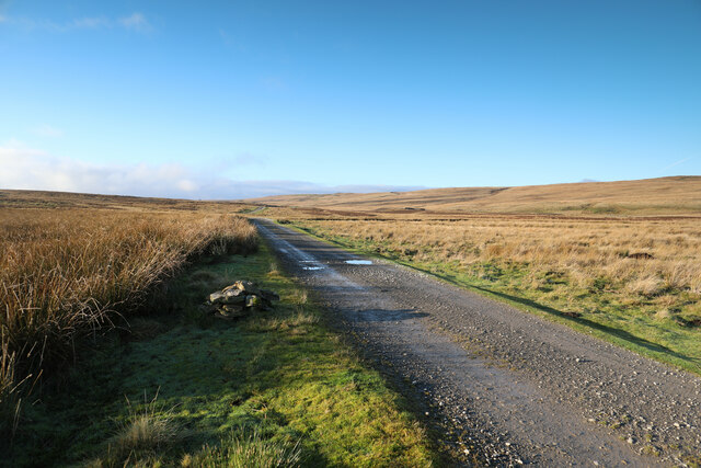
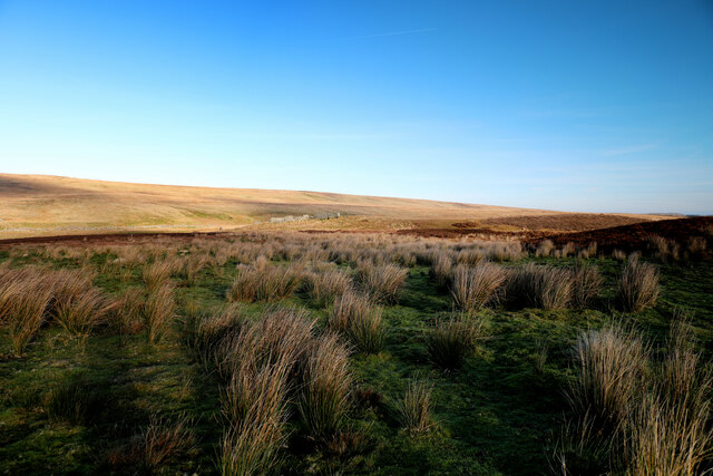
Lartington is a civil parish located in the historic county of Yorkshire, England. Situated in the northern part of the country, it is nestled in the picturesque countryside of the North Pennines Area of Outstanding Natural Beauty. The parish is part of the larger district of County Durham, although historically it was part of the North Riding of Yorkshire.
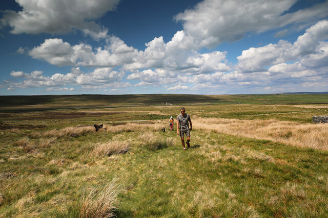
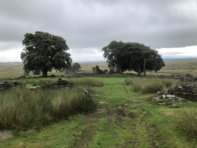
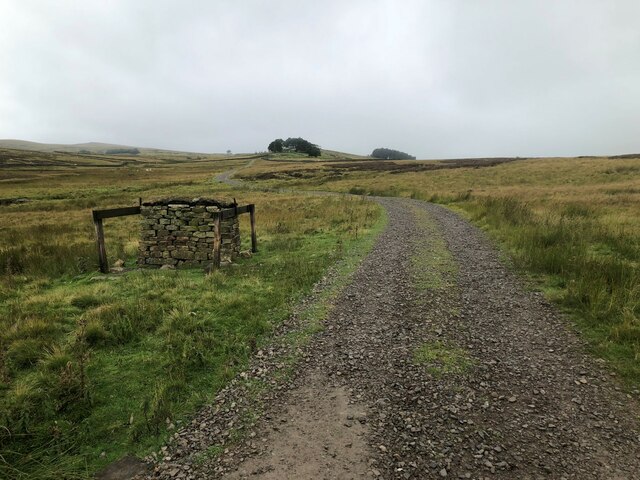
Lartington is a small and tranquil village with a population of around 150 people. It is known for its charming stone-built houses and buildings, many of which date back to the 17th and 18th centuries. The village is surrounded by rolling hills, green meadows, and dense woodlands, providing residents and visitors with ample opportunities for outdoor activities such as hiking, cycling, and nature walks.
At the heart of Lartington lies the beautiful St. Laurence's Church, a Grade II listed building that dates back to the 12th century. The church is an architectural gem, known for its impressive Gothic features and intricate stained glass windows. It serves as a focal point for the community, hosting regular religious services and community events.
Lartington is a close-knit community with a strong sense of pride in its history and heritage. The village has a small primary school, a village hall, and a local pub that serves as a gathering place for residents. Despite its small size, Lartington offers a peaceful and idyllic setting for those seeking a rural retreat in the heart of Yorkshire.
If you have any feedback on the listing, please let us know in the comments section below.
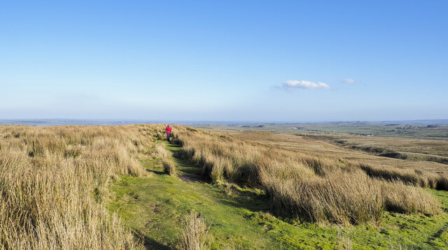
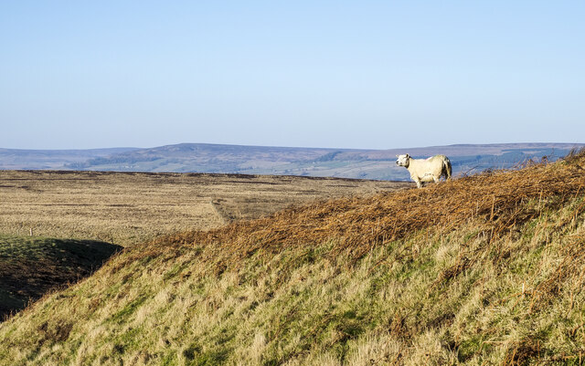
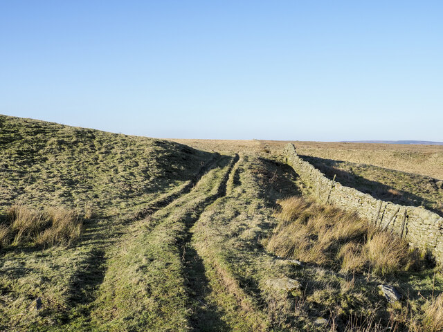
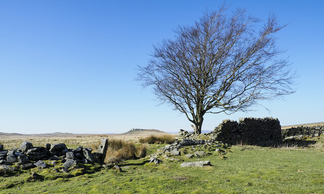
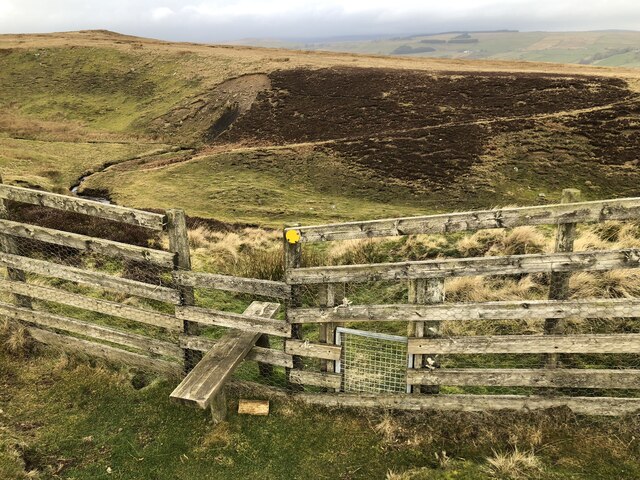
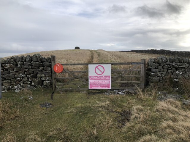
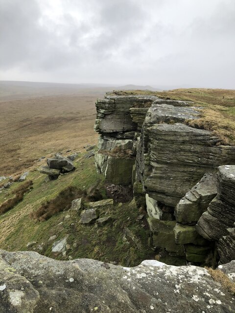
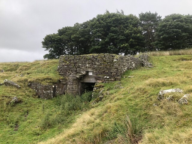
Lartington Images
Images are sourced within 2km of 54.541973/-2.05218 or Grid Reference NY9616. Thanks to Geograph Open Source API. All images are credited.
Lartington is located at Grid Ref: NY9616 (Lat: 54.541973, Lng: -2.05218)
Division: North Riding
Unitary Authority: County Durham
Police Authority: Durham
What 3 Words
///profited.decrease.pine. Near Bowes, Co. Durham
Nearby Locations
Related Wikis

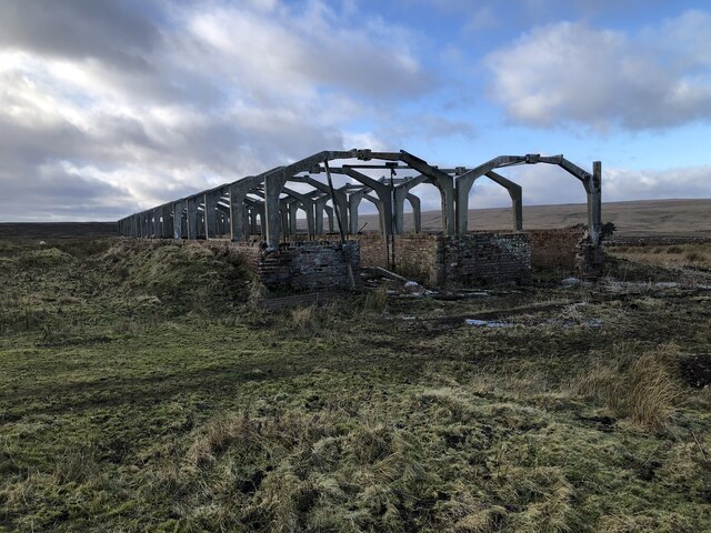
RAF Bowes Moor
RAF Bowes Moor was a chemical warfare agent (CWA) storage site run by the Royal Air Force during and after the Second World War. The site was to the north...
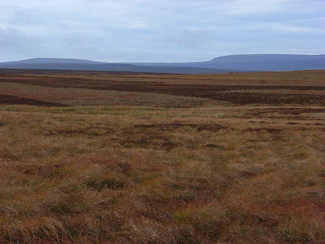
Cotherstone Moor
Cotherstone Moor is a Site of Special Scientific Interest in the Teesdale district in south-west County Durham, England. It is an extensive area of moorland...

Mere Beck Meadows
Mere Beck Meadows, formerly known as Willoughby Hall Meadows, is a Site of Special Scientific Interest in the Teesdale district of County Durham, England...

Hury Reservoir
Hury Reservoir is a reservoir in County Durham, England situated in Baldersdale. The reservoir is located about four miles south of Middleton-in-Teesdale...
Related Videos

County Durham Running and Walking Routes: Goldsborough Rigg 9 miles / Hury Reservoir & Pennine Way
A great walk from the book “100 walks in County Durham” by Gary Richardson. Walk number 87. Start at Hury Reservoir car park ...

Goldsbrough via Hury - A Local Hike
Eyup everyone, welcome to a very windy walk! This is a fairly local hike to me, in an area, I am familiar with due to fishing grounds.

Gods Bridge from Bowes walk
Our New Year's Day Adventure: Bowes to God's Bridge with Outdooractive App for navigation. We started the year off on a ...

Gods Bridge - Bowes Middleton in Teesdale
Eyup everyone! I hope everyone is keeping well. Today Irene and me are on another whirlwind adventure, exploring our local ...
Nearby Amenities
Located within 500m of 54.541973,-2.05218Have you been to Lartington?
Leave your review of Lartington below (or comments, questions and feedback).