Lasham

Civil Parish in Hampshire East Hampshire

England

Lasham

Lasham Airfield Between Basingstoke and Alton. Owned by, and the home of, the Lasham Gliding Society, one of the largest gliding clubs in the world. ATC Lasham Ltd also has an airliner maintenance facility there.  <span class="nowrap"><a title="https://en.wikipedia.org/wiki/Lasham_Airfield" rel="nofollow ugc noopener" href="https://en.wikipedia.org/wiki/Lasham_Airfield">Link</a><img style="margin-left:2px;" alt="External link" title="External link - shift click to open in new window" src="https://s1.geograph.org.uk/img/external.png" width="10" height="10"/></span>
Lasham Airfield Credit: M J Richardson

Lasham is a civil parish located in the county of Hampshire, in southern England. It is situated approximately 5 miles southeast of the town of Basingstoke and covers an area of about 1,200 acres. The parish is part of the district of East Hampshire and falls within the South Downs National Park.

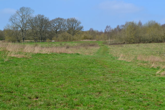
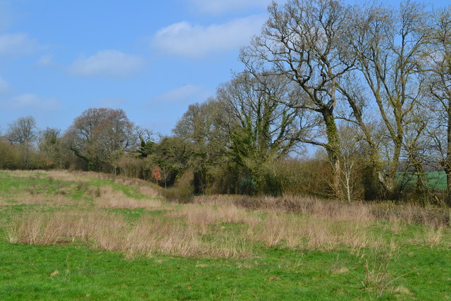
The village of Lasham itself is small and picturesque, with a population of around 400 residents. It is surrounded by beautiful countryside, with rolling hills, meadows, and woodland areas, making it an ideal location for outdoor activities such as walking, cycling, and horse riding. The village is also known for its charming thatched cottages and historic buildings, which add to its rural appeal.

Lasham is perhaps best known for its gliding club, which is one of the largest and most active in the UK. The Lasham Gliding Society has been in operation since 1951 and attracts gliding enthusiasts from all over the country. The club benefits from the favorable weather conditions in the area, with its location on the edge of the South Downs providing excellent soaring opportunities.

In terms of amenities, Lasham has a village hall, a primary school, and a church, which dates back to the 13th century. The nearest shops and services can be found in nearby towns like Basingstoke or Alton, both of which are within easy reach by car.

Overall, Lasham offers a peaceful and idyllic rural setting, with a strong sense of community and a range of outdoor pursuits to enjoy.

If you have any feedback on the listing, please let us know in the comments section below.
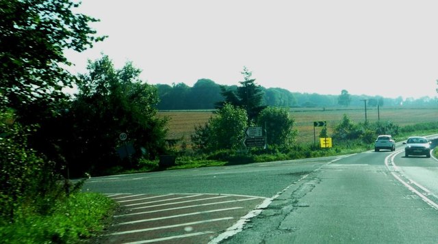
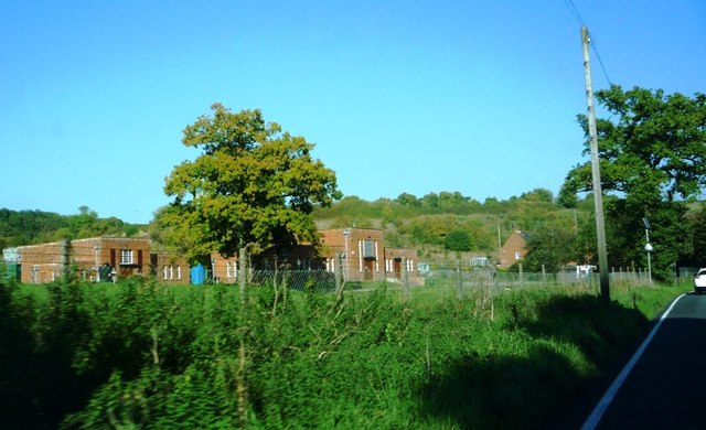
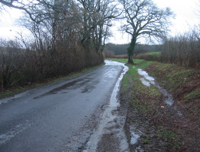
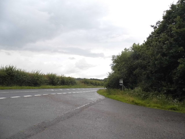
Lasham Images

Images are sourced within 2km of 51.180048/-1.035658 or Grid Reference SU6742. Thanks to Geograph Open Source API. All images are credited.

Lasham Airfield Between Basingstoke and Alton. Owned by, and the home of, the Lasham Gliding Society, one of the largest gliding clubs in the world. ATC Lasham Ltd also has an airliner maintenance facility there.  <span class="nowrap"><a title="https://en.wikipedia.org/wiki/Lasham_Airfield" rel="nofollow ugc noopener" href="https://en.wikipedia.org/wiki/Lasham_Airfield">Link</a><img style="margin-left:2px;" alt="External link" title="External link - shift click to open in new window" src="https://s1.geograph.org.uk/img/external.png" width="10" height="10"/></span>
Lasham Airfield
Between Basingstoke and Alton. Owned by, and the home of, the Lasham Gliding Society, one of the largest gliding clubs in the world. ATC Lasham Ltd also has an airliner maintenance facility there. LinkExternal link
Junction with The Avenue on A339 Road here leads to airfield and Lasham Gliding Centre
Junction with The Avenue on A339
Road here leads to airfield and Lasham Gliding Centre
Hill and bends on A339 Near Lasham
Hill and bends on A339
Near Lasham
A339 at Lasham Water Treatment Works
A very damp Spain Lane
Back Lane at the junction of the A339
Basingstoke Road at the junction of Well Lane
Basingstoke Road near Bentworth
Road to Lasham Both ways to Lasham have 'No motor vehicles except for access' signs, probably to inhibit through traffic to Lasham airfield.
Road to Lasham
Both ways to Lasham have 'No motor vehicles except for access' signs, probably to inhibit through traffic to Lasham airfield.
Lane to Lasham Signed, at least at the A339 end, 'No motor vehicles except for access', probably to inhibit through traffic to Lasham airfield.
Lane to Lasham
Signed, at least at the A339 end, 'No motor vehicles except for access', probably to inhibit through traffic to Lasham airfield.
Path across field at Home Farm
Field edge at Home Farm
The Royal Oak at Lasham
Pond and house at Lasham
St Mary's Church, Lasham
Entrance road to Humbly Grove Oilfield, Weston Common
Path near Gason Wood
Path towards Shalden
Show me another place!

Lasham is located at Grid Ref: SU6742 (Lat: 51.180048, Lng: -1.035658)

Administrative County: Hampshire

District: East Hampshire

Police Authority: Hampshire

What 3 Words

///shell.awards.shadowing. Near Alton, Hampshire

Nearby Locations

Lasham Lasham

Related Wikis

Lasham

Lasham is a village and civil parish in the East Hampshire district of Hampshire, England. It is 3.4 miles (5.5 km) northwest of Alton and 1.2 miles (1...

Lasham Airfield

Lasham Airfield (ICAO: EGHL) is an aerodrome 3.6 miles (5.8 km) north-west of Alton in Hampshire, England, in the village of Lasham. Th airfield was built...

Bentworth and Lasham railway station

Bentworth and Lasham railway station in Hampshire, England was on the Basingstoke and Alton Light Railway between the villages of Bentworth to the south...

Bagmore

Bagmore is a village in Hampshire, England.

Southrope

Southrope is a hamlet in the civil parish of Herriard, Hampshire. It has one pub, named the Fur and Feathers. The hamlet was once considered a part of...

Shalden

Shalden is a village and civil parish in the East Hampshire district of Hampshire, England. It is 2.3 miles (3.7 km) northwest of Alton and 1.9 miles...

Tickley

Tickley is a small hamlet in the large civil parish of Bentworth in Hampshire, England. It is considered a part of neighbouring Burkham which is situated...

Burkham

Burkham is a hamlet in the large civil parish of Bentworth in Hampshire, England including a large country house, Burkham House. The nearest town is Alton...

Nearby Amenities

Located within 500m of 51.180048,-1.035658
Lasham
Is In: Hampshire, England, UK
Place: village
Wikidata: Q2157492
Wikipedia: en:Lasham
Lat/Long: 51.1772006/-1.0357622
Bus Stop
Lasham Church
Naptan AtcoCode: 1900HA020267
Naptan Bearing: S
Naptan CommonName: Lasham Church
Naptan Crossing: Drovers Barn
Naptan NaptanCode: hamgdwmp
Naptan Street: Unamed Village Rd to Airfield
Naptan Verified: no
Source: naptan_import
Lat/Long: 51.1773462/-1.0348084
Pub
The Royal Oak
Addr City: Alton
Addr Country: GB
Addr Place: Lasham
Addr Postcode: GU34 5SJ
Website: http://www.royaloak.uk.com/
Lat/Long: 51.1781047/-1.0347372
Church Farm
Landuse: farm
Note Retag: CS #48756035
Source: Bing
Lat/Long: 51.178609/-1.0336277
The Lasham Millennium Map
Information: map
Tourism: information
Lat/Long: 51.1778329/-1.0345768
Post Box
Post Box Type: pillar
Ref: GU34 64
Royal Cypher: EIIR
Royal Cypher Wikidata: Q33102113
Lat/Long: 51.1779367/-1.0348154
New Farm House
Addr City: Alton
Addr Housename: New Farm House
Addr Place: Lasham
Building: house
Source: OS_OpenData_StreetView
Lat/Long: 51.1765211/-1.0395792
Give Way
Source: Bing
Lat/Long: 51.1776246/-1.0347462
Give Way
Source: Bing
Lat/Long: 51.1777346/-1.034928
Give Way
Source: Hampshire-Aerial-FCIR
Lat/Long: 51.1771366/-1.03656
Give Way
Source: Hampshire-Aerial-FCIR
Lat/Long: 51.1765998/-1.0354835
The data included in this document is from www.openstreetmap.org. The data is made available under ODbL.

Have you been to Lasham?

Leave your review of Lasham below (or comments, questions and feedback).