Snipe Plantation

Wood, Forest in Northumberland

England

Snipe Plantation

Track to Hebron Hill Farm
Track to Hebron Hill Farm Credit: David Dixon

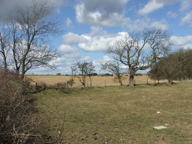
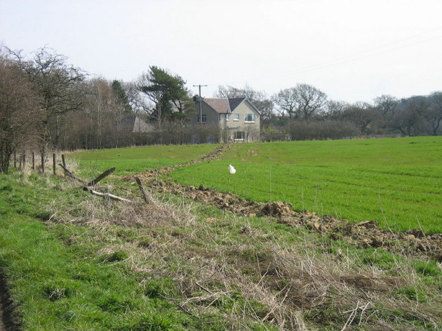
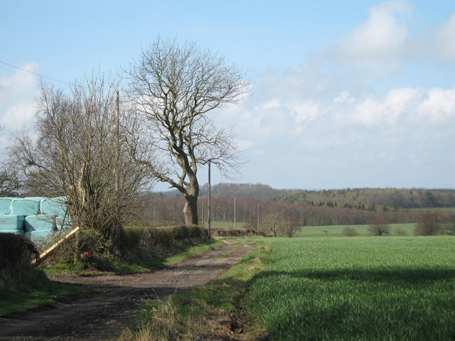
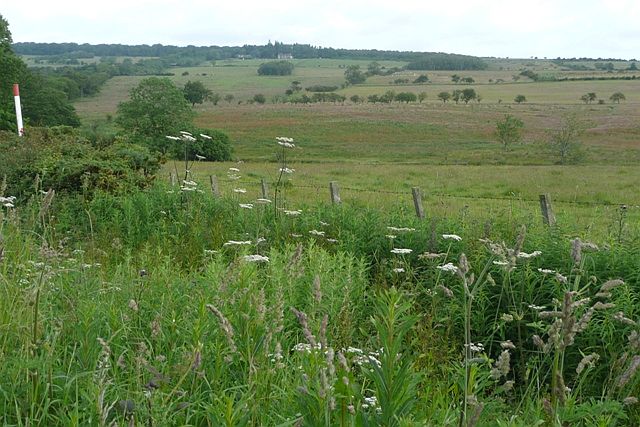
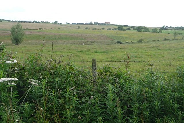
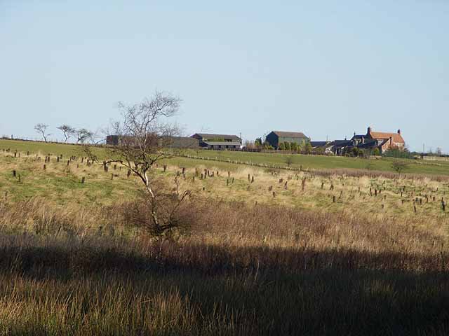
Snipe Plantation is a picturesque woodland located in Northumberland, a county in the northeastern part of England. Covering an area of approximately 100 acres, this enchanting forest is a haven for nature enthusiasts and those seeking a tranquil escape from the bustling city life.

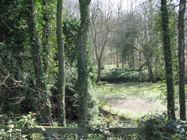
The plantation is primarily composed of a mix of deciduous and coniferous trees, creating a diverse and vibrant ecosystem. The towering oak, beech, and birch trees provide a lush canopy, while the spruces and firs add a touch of evergreen charm. This blend of tree species creates a stunning visual display throughout the seasons, with vibrant autumnal foliage and a verdant green landscape in the summer.

The forest floor is adorned with a rich tapestry of mosses, ferns, and wildflowers, adding to the natural beauty of Snipe Plantation. Walking through the woodland, visitors can hear the soothing sounds of birdsong, as the forest is home to a variety of avian species, including woodpeckers, owls, and songbirds.

Snipe Plantation is also known for its diverse wildlife. It provides a habitat for a range of mammals, such as deer, foxes, and squirrels, as well as smaller creatures like rabbits and hedgehogs. The forest is also home to a variety of insects, including butterflies and dragonflies.

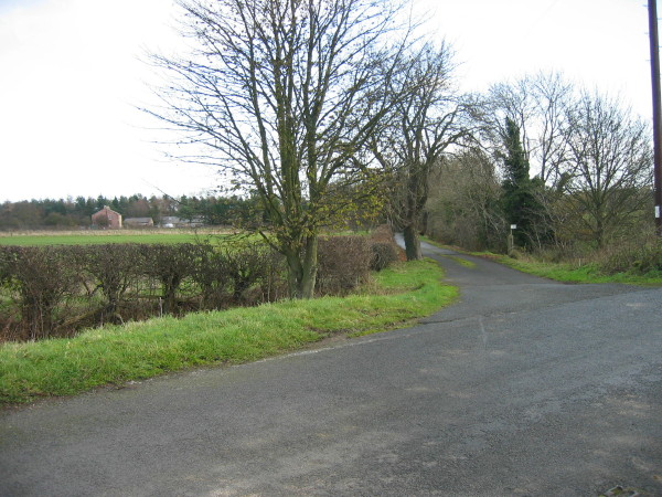
With its serene atmosphere and stunning natural beauty, Snipe Plantation offers visitors the opportunity to immerse themselves in the tranquility of nature. Whether it is walking along one of the well-maintained trails, observing wildlife, or simply enjoying a picnic amidst the trees, this woodland is a true gem in Northumberland's landscape.

If you have any feedback on the listing, please let us know in the comments section below.

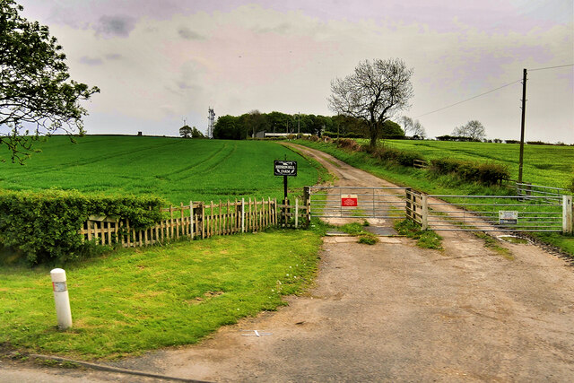
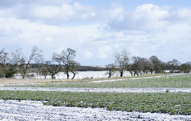
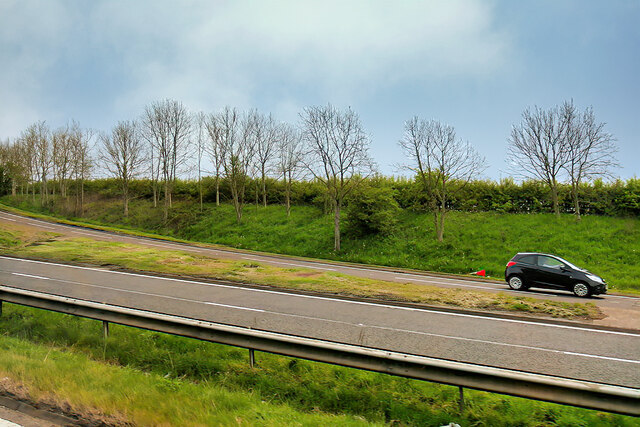
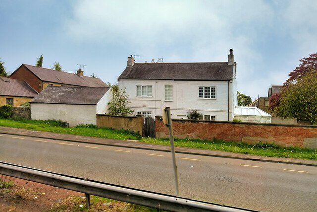
Snipe Plantation Images

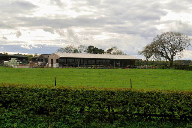
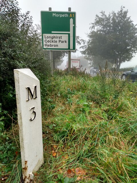
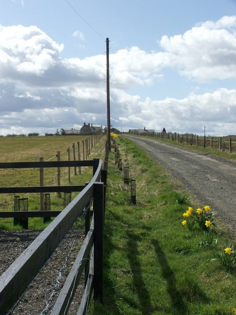
Images are sourced within 2km of 55.204286/-1.7241437 or Grid Reference NZ1790. Thanks to Geograph Open Source API. All images are credited.

Track to Hebron Hill Farm
Lightly snowed fields on eastern side of A1 The fields lie to the north of Hebron Hill in this view from a lay by on the road's east side. There are small, flat, yellow effigies of people standing erect in the near field... scarecrows?
Lightly snowed fields on eastern side of A1
The fields lie to the north of Hebron Hill in this view from a lay by on the road's east side. There are small, flat, yellow effigies of people standing erect in the near field... scarecrows?
Sliproad onto the A1 at Northgate The sliproad from the A697 onto the southbound A1.
Sliproad onto the A1 at Northgate
The sliproad from the A697 onto the southbound A1.
White House alongside the A1
High Highlaws Farm Farm on the western side of the A1 near Hebron.
High Highlaws Farm
Farm on the western side of the A1 near Hebron.
Road junction, Hebron
Dobbies Garden Centre (Heighley Gate), Morpeth This Garden Centre, which lies adjacent to the A697, is known by its more historical name of Heighley Gate although the current owners, Dobbies Garden Centres refers to it as Dobbies, Morpeth. Compare this photograph with the one shown at <a title="https://www.geograph.org.uk/photo/3041530" href="https://www.geograph.org.uk/photo/3041530">Link</a> which was taken nearly 13 years ago.
Dobbies Garden Centre (Heighley Gate), Morpeth
This Garden Centre, which lies adjacent to the A697, is known by its more historical name of Heighley Gate although the current owners, Dobbies Garden Centres refers to it as Dobbies, Morpeth. Compare this photograph with the one shown at Link which was taken nearly 13 years ago.
Old Milepost by the A1 in Hebron Parish Cast iron post by the A1, in parish of HEBRON (CASTLE MORPETH District), open country, on grass verge, on East side of road. MA bevel iron casting, erected by the Cow-causey & Buckton-Burn turnpike trust in the 19th century. 

Inscription reads:-
: M / 3 : : A / 16 : 

Grade II listed. List Entry Number: 1153544
<span class="nowrap"><a title="https://historicengland.org.uk/listing/the-list/list-entry/1153544" rel="nofollow ugc noopener" href="https://historicengland.org.uk/listing/the-list/list-entry/1153544">Link</a><img style="margin-left:2px;" alt="External link" title="External link - shift click to open in new window" src="https://s1.geograph.org.uk/img/external.png" width="10" height="10"/></span>

Milestone Society National ID: NB_MPAN03.
Old Milepost by the A1 in Hebron Parish
Cast iron post by the A1, in parish of HEBRON (CASTLE MORPETH District), open country, on grass verge, on East side of road. MA bevel iron casting, erected by the Cow-causey & Buckton-Burn turnpike trust in the 19th century. Inscription reads:- : M / 3 : : A / 16 : Grade II listed. List Entry Number: 1153544 LinkExternal link Milestone Society National ID: NB_MPAN03.
Gorfen Letch Taken from the adjacent square because this looked like a private drive which lead only to the house. Half of the driveway and house are in the square.
Gorfen Letch
Taken from the adjacent square because this looked like a private drive which lead only to the house. Half of the driveway and house are in the square.
Farmland The fence separates two fields, one for growing arable crops and the other for grazing horses.
Farmland
The fence separates two fields, one for growing arable crops and the other for grazing horses.
Private drive leading to Heron's Close
Road to Fenrother from A697
The Oaks
The Oaks
River Lyne This burn runs through Hangingleaves Wood.
River Lyne
This burn runs through Hangingleaves Wood.
Farm track at Hebron Hill farm Looking west towards the A1 trunk road
Farm track at Hebron Hill farm
Looking west towards the A1 trunk road
West of Gorfenletch From the minor road crossing the south-west corner of the square and looking north.  Harelaw is the building just to the right of the second line of low trees.
West of Gorfenletch
From the minor road crossing the south-west corner of the square and looking north. Harelaw is the building just to the right of the second line of low trees.
South of Gorfenletch From the minor road in the south-west of the square.  Gorfenletch cattle barn is the low building above the tree to the left.  The prominent building on the hill is Gorfenletch Farmhouse.  The farm was sold in lots between 2001 and 2006.
South of Gorfenletch
From the minor road in the south-west of the square. Gorfenletch cattle barn is the low building above the tree to the left. The prominent building on the hill is Gorfenletch Farmhouse. The farm was sold in lots between 2001 and 2006.
Gorfen Letch Farm Looking across the fields.
Gorfen Letch Farm
Looking across the fields.
Show me another place!

Snipe Plantation is located at Grid Ref: NZ1790 (Lat: 55.204286, Lng: -1.7241437)

Unitary Authority: Northumberland

Police Authority: Northumbria

What 3 Words

///punters.passport.clash. Near Hebron, Northumberland

Related Wikis

Hebron, Northumberland

Hebron is a village and civil parish 2 miles (3.2 km) north of Morpeth, in the county of Northumberland, England. In 2011 the parish had a population of...
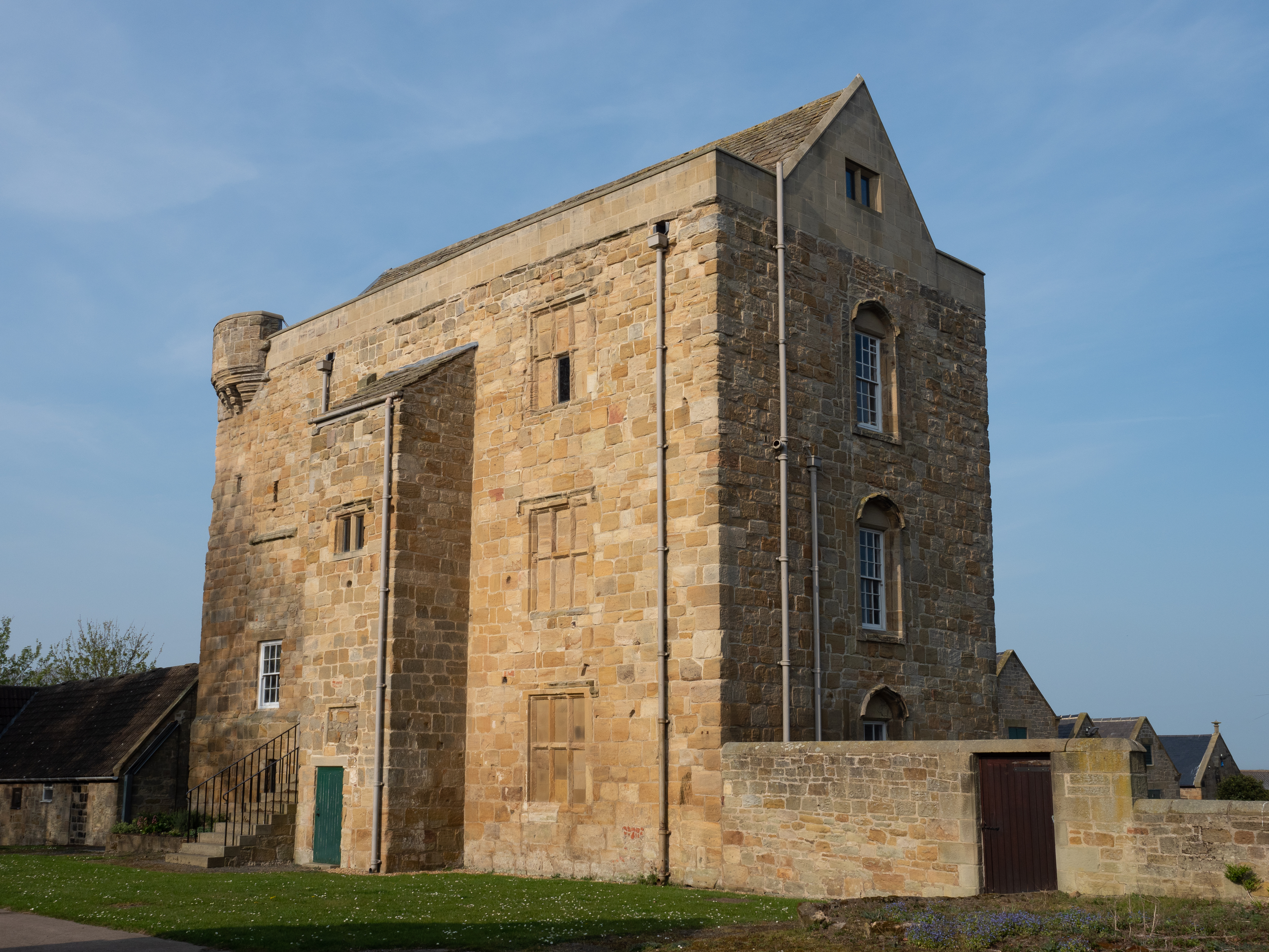
Cockle Park Tower

Cockle Park Tower is a Grade 1 listed building in the hamlet of Cockle Park, Northumberland, England, some 4 miles (6 km) to the north of Morpeth. This...

Pigdon

Pigdon is a hamlet and former civil parish 3 miles (4.8 km) from Morpeth, now in the parish of Meldon, in the county of Northumberland, England. In 1951...

Tritlington

Tritlington is a hamlet and former civil parish about 4 miles from Morpeth, now in the parish of Tritlington and West Chevington, in the county of Northumberland...

Nearby Amenities

Located within 500m of 55.204286,-1.7241437
Post Box
Ref: NE61 38
Source: survey
Lat/Long: 55.2009527/-1.7279242
Espley Hall
Place: hamlet
Lat/Long: 55.2077181/-1.7268987
The data included in this document is from www.openstreetmap.org. The data is made available under ODbL.

Have you been to Snipe Plantation?

Leave your review of Snipe Plantation below (or comments, questions and feedback).