Orchard Plantation

Wood, Forest in Northumberland

England

Orchard Plantation

Houses at Brownieside Brownieside is a hamlet located on the A1 about 7 miles north of Alnwick.
Houses at Brownieside Credit: David Dixon

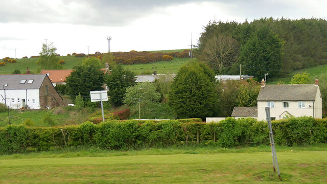
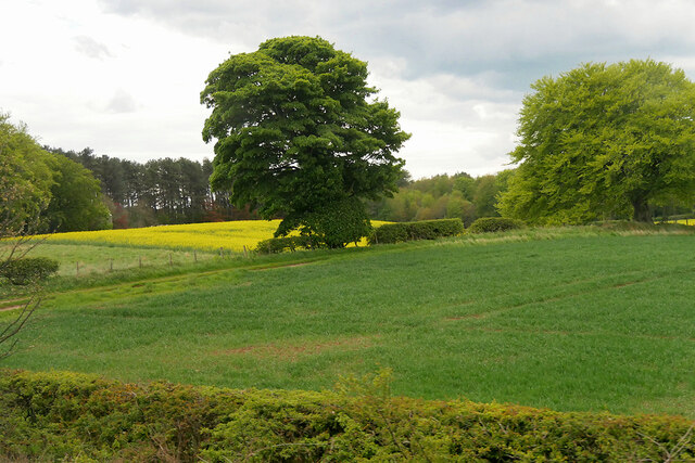
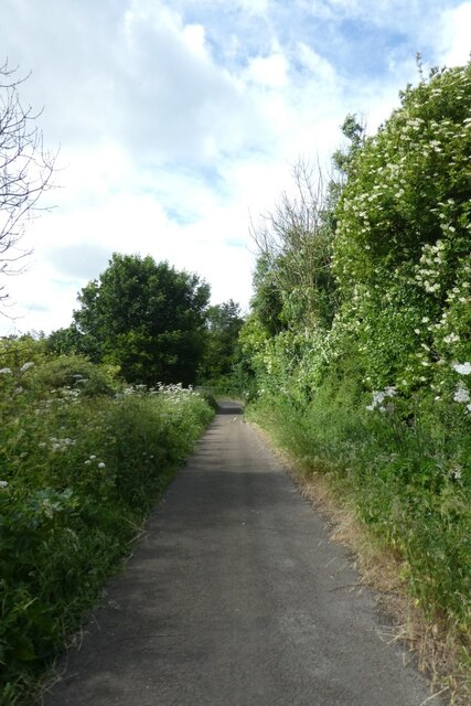
Orchard Plantation is a picturesque woodland area located in Northumberland, England. Situated in the heart of the county, it is known for its beautiful orchards and scenic forest landscape. Covering an expansive area, the plantation is a popular destination for nature enthusiasts and those seeking a peaceful retreat.

The woodland in Orchard Plantation is abundant with a variety of trees, including oak, birch, and beech, which create a diverse and vibrant ecosystem. The forest floor is adorned with a carpet of wildflowers, adding bursts of color to the surroundings. The area is also home to a wide range of wildlife, including deer, foxes, and various bird species, making it an ideal spot for wildlife enthusiasts and birdwatchers.

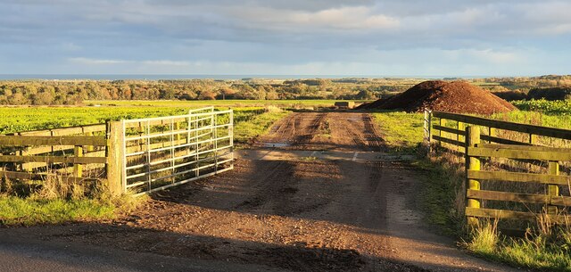
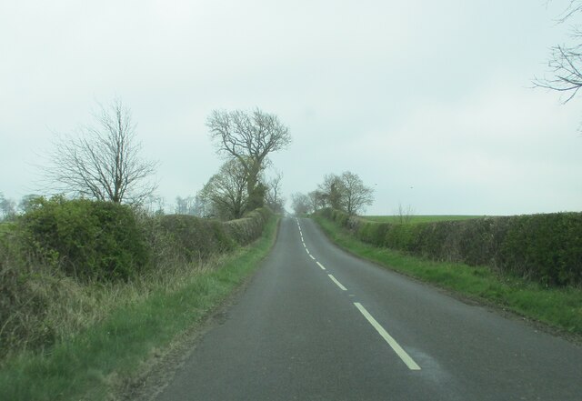
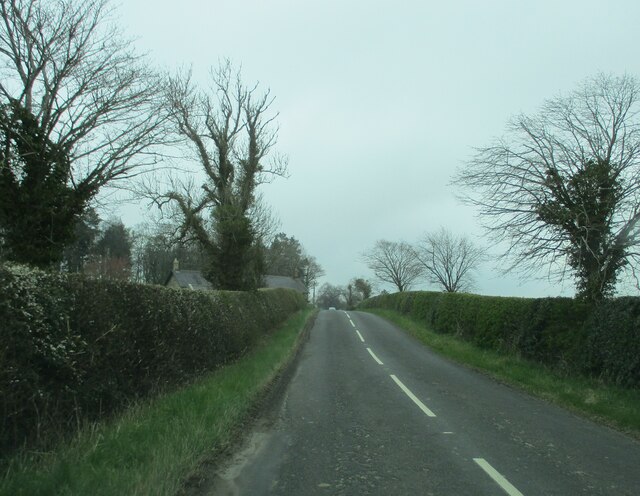
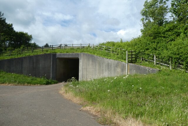
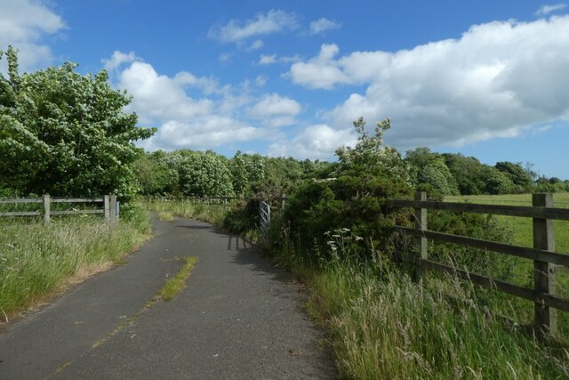
The plantation features a well-maintained network of walking trails, providing visitors with the opportunity to explore the woodland at their own pace. These paths wind through the trees, offering stunning views of the surrounding countryside and glimpses of the nearby river. Along the way, there are several designated picnic areas where visitors can relax and enjoy the peaceful ambiance.

In addition to its natural beauty, Orchard Plantation also has historical significance. The area was once used for apple orchards, hence the name, and remnants of the old orchards can still be seen today. This adds a sense of nostalgia and heritage to the plantation, allowing visitors to connect with the land's past.

Overall, Orchard Plantation in Northumberland offers a serene and enchanting experience for nature lovers, with its lush woodland, diverse wildlife, and tranquil atmosphere.

If you have any feedback on the listing, please let us know in the comments section below.

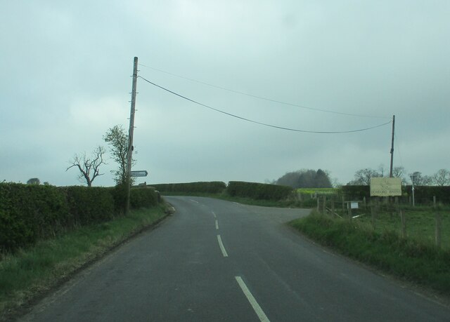
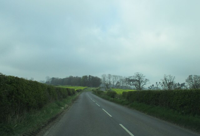
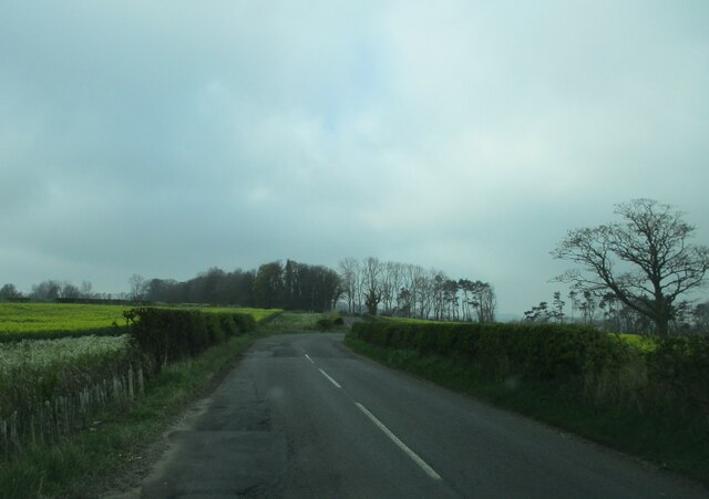
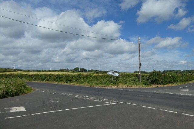
Orchard Plantation Images

Images are sourced within 2km of 55.49681/-1.7220572 or Grid Reference NU1722. Thanks to Geograph Open Source API. All images are credited.

Houses at Brownieside Brownieside is a hamlet located on the A1 about 7 miles north of Alnwick.
Houses at Brownieside
Brownieside is a hamlet located on the A1 about 7 miles north of Alnwick.
Fields between South Charlton and North Charlton
Patterson's Cottage Boarding Kennels Alongside the northbound A1 near North Charlton.
Patterson's Cottage Boarding Kennels
Alongside the northbound A1 near North Charlton.
North Charlton, Northumberland Looking southeast over farmland to the southwest of North Charlton, the coast can be seen in the far distance.
North Charlton, Northumberland
Looking southeast over farmland to the southwest of North Charlton, the coast can be seen in the far distance.
Linkhall Moor, Northumberland From the vicinity of Moor Edge Plantation looking towards wind turbines on Linkhall Moor.
Linkhall Moor, Northumberland
From the vicinity of Moor Edge Plantation looking towards wind turbines on Linkhall Moor.
Doxford  Hall  built  in 1818  for  Henry  Taylor The house was enlarged and remodelled in 1910 and is now a hotel and spa, with large grounds and formal garden
Doxford Hall built in 1818 for Henry Taylor
The house was enlarged and remodelled in 1910 and is now a hotel and spa, with large grounds and formal garden
Doxford  Hall  built  in 1818  view  through  the  formal  garden This garden was created when the house was enlarged in 1910
Doxford Hall built in 1818 view through the formal garden
This garden was created when the house was enlarged in 1910
Minor  country  road  going  south  to  West  Fallodon A long straight road but rising
Minor country road going south to West Fallodon
A long straight road but rising
Entering  West  Fallodon  from  the  north A number of cottages and a large farm could describe it
Entering West Fallodon from the north
A number of cottages and a large farm could describe it
Road  junction  signed  to  Doxford  Newhouses The large notice to the right is advertising Doxford Barns. A bridleway fingerpost goes to the left beyond road sign
Road junction signed to Doxford Newhouses
The large notice to the right is advertising Doxford Barns. A bridleway fingerpost goes to the left beyond road sign
The  B6347  south  toward  Rock  Moor  House
The B6347 south toward Rock Moor House
Countryside  toward  Yearsley  Plantation  on  B6347
Countryside toward Yearsley Plantation on B6347
Approaching  road  junction  at  Rock  Moor  Farm Yearsley Plantation to my left
Approaching road junction at Rock Moor Farm
Yearsley Plantation to my left
Cottages  at  Rock  Moor  Farm On the road to Rock and Rennington
Cottages at Rock Moor Farm
On the road to Rock and Rennington
Crossroads south of Ellingham Ahead is to the A1, right to Ellingham, far right to Preston Tower and left to Tynely.
Crossroads south of Ellingham
Ahead is to the A1, right to Ellingham, far right to Preston Tower and left to Tynely.
Bridleway near the A1 This path runs to meet the A1 near North Charlton where there is an underbridge.
Bridleway near the A1
This path runs to meet the A1 near North Charlton where there is an underbridge.
A1 underbridge Looking towards a tunnel which passes underneath the A1 to reach North Charlton.
A1 underbridge
Looking towards a tunnel which passes underneath the A1 to reach North Charlton.
Bridleway north towards Ellingham Looking along the path heading north from beside the A1 where there is an underpass.
Bridleway north towards Ellingham
Looking along the path heading north from beside the A1 where there is an underpass.
Show me another place!

Orchard Plantation is located at Grid Ref: NU1722 (Lat: 55.49681, Lng: -1.7220572)

Unitary Authority: Northumberland

Police Authority: Northumbria

What 3 Words

///folds.purse.perfectly. Near Ellingham, Northumberland

Related Wikis

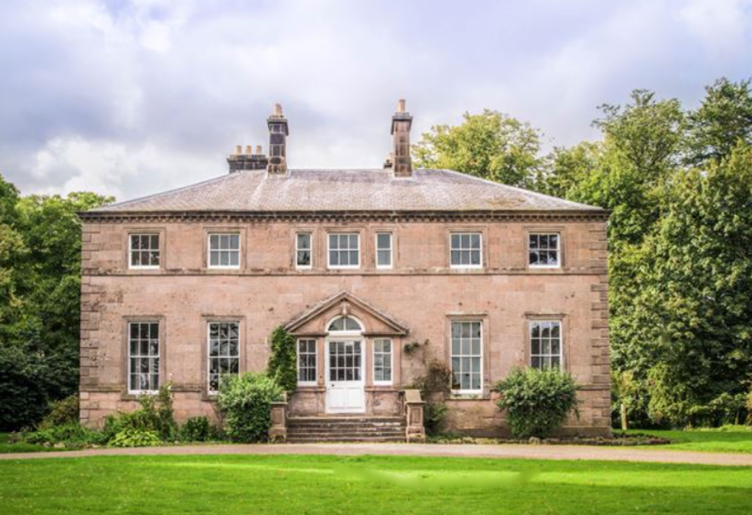
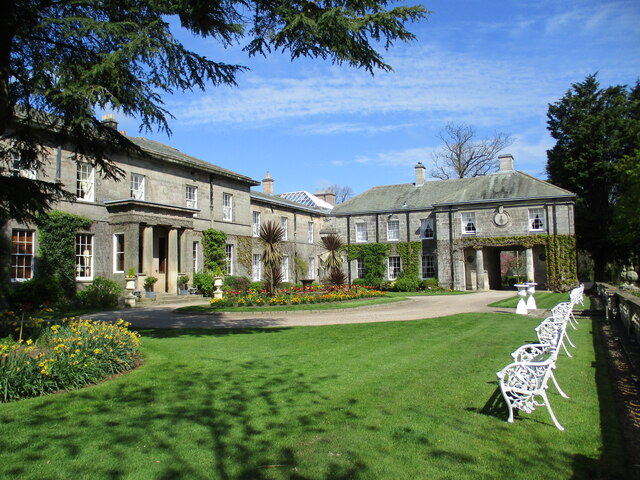
Charlton Hall, Northumberland

Charlton Hall near Ellingham, Northumberland is a building of historical significance and is listed Grade II* on the English Heritage Register. It was...

North Charlton

North Charlton is a hamlet and former civil parish, now in the parish of Eglingham, in Northumberland, England. It is situated between Alnwick and Berwick...

Brownieside

Brownieside is a hamlet in Northumberland, in England. It is situated between Alnwick and Berwick-upon-Tweed, on the A1 a short distance to the north of...

South Charlton

South Charlton is a small village and former civil parish, now in the parish of Eglingham, in the county of Northumberland, England, five miles (8 km)...

Ellingham, Northumberland

Ellingham is a civil parish in Northumberland, England. The population taken at the 2001 Census was 282, increasing slightly to 288 at the 2011 Census...

Preston Tower, Northumberland

Preston Tower is a fourteenth-century pele tower in Preston, Northumberland, England built in 1392. The tower is now a private museum. == References... ==

Fallodon

Fallodon is a hamlet and former civil parish, now in the parish of Newton-by-the-Sea, in the county of Northumberland, England. It is the territorial designation...

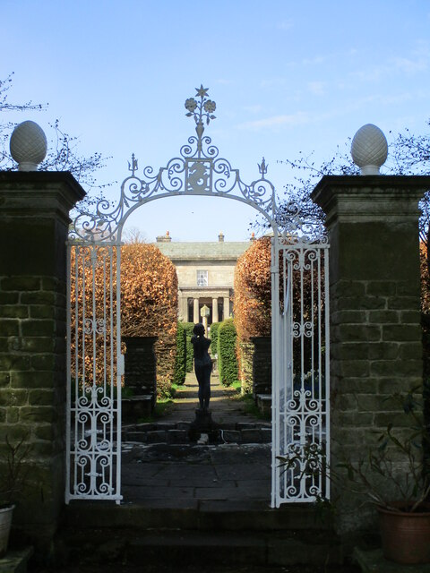
Rock Hall, Northumberland

Rock Hall is a privately owned 18th-century country house, at Rock, Rennington, near Alnwick, Northumberland (grid reference NU20082026). It is a Grade...

Nearby Amenities

Located within 500m of 55.49681,-1.7220572
Power: pole
Lat/Long: 55.4937355/-1.7265404
Power: pole
Lat/Long: 55.4943663/-1.7268895
Power: pole
Lat/Long: 55.4951658/-1.7264155
Power: pole
Lat/Long: 55.4959883/-1.7259491
Power: pole
Lat/Long: 55.4968184/-1.7255082
Power: pole
Lat/Long: 55.4972497/-1.7264787
Power: pole
Lat/Long: 55.4977823/-1.7276508
Power: pole
Lat/Long: 55.4983005/-1.7288109
Power: pole
Lat/Long: 55.4976338/-1.7250874
Power: pole
Lat/Long: 55.4984698/-1.7246336
Power: pole
Lat/Long: 55.4989434/-1.7235731
Power: pole
Lat/Long: 55.4994378/-1.7225212
Power: pole
Lat/Long: 55.49992/-1.7214505
Power: pole
Lat/Long: 55.5004081/-1.7203696
Power: pole
Lat/Long: 55.5008817/-1.7193295
Power: pole
Lat/Long: 55.4960622/-1.7142746
Power: pole
Lat/Long: 55.4961105/-1.7154219
Power: pole
Lat/Long: 55.4961853/-1.7170865
Power: pole
Lat/Long: 55.4962445/-1.7181864
Power: pole
Lat/Long: 55.495485/-1.7184239
Power: pole
Lat/Long: 55.496967/-1.7179374
Power: pole
Lat/Long: 55.4975077/-1.7186183
Power: pole
Lat/Long: 55.498309/-1.7195658
Power: pole
Lat/Long: 55.4991071/-1.7205028
The data included in this document is from www.openstreetmap.org. The data is made available under ODbL.

Have you been to Orchard Plantation?

Leave your review of Orchard Plantation below (or comments, questions and feedback).