Bendhill Wood
Wood, Forest in Yorkshire
England
Bendhill Wood
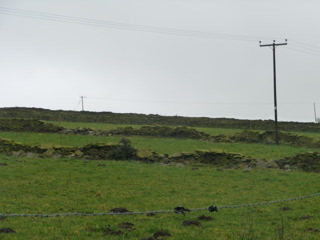
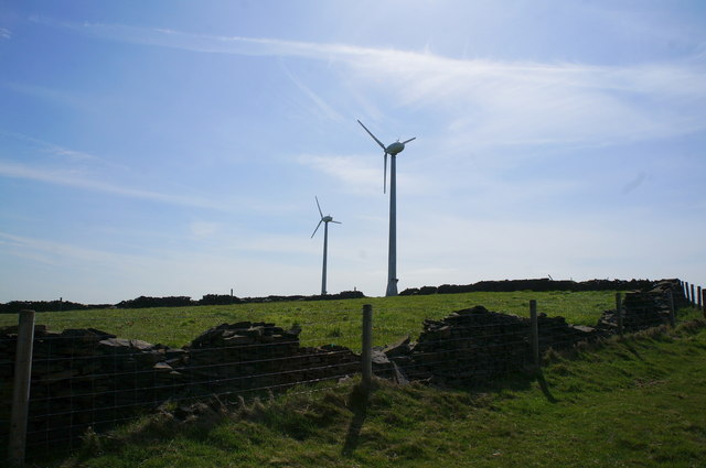
Bendhill Wood is a picturesque woodland located in the heart of Yorkshire, England. Spread over an area of approximately 50 acres, this enchanting forest is a haven for nature lovers and outdoor enthusiasts. It is situated near the village of Bendhill, which lends its name to the wood.
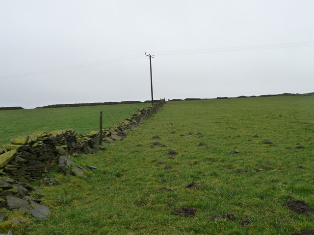
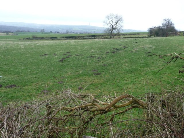
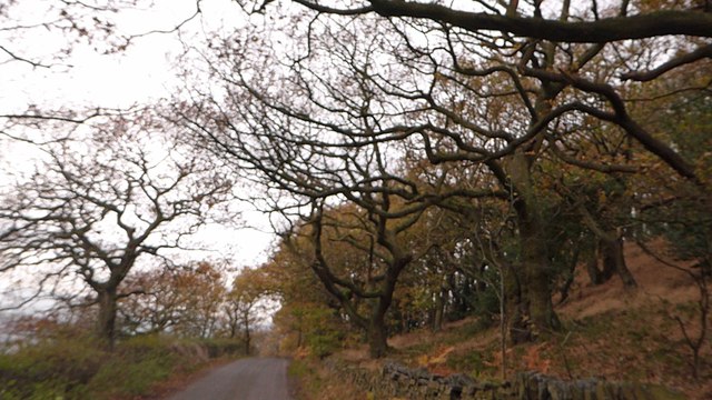
The wood boasts a diverse range of flora and fauna, making it a thriving ecosystem. The canopy is predominantly composed of native species such as oak, ash, and birch trees, creating a lush and verdant environment. The forest floor is adorned with an array of wildflowers, ferns, and mosses, adding to the stunning natural beauty of the wood.
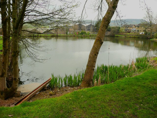
Bendhill Wood is intersected by a meandering stream, which further enhances its charm. The babbling brook is home to various aquatic creatures, including small fish and amphibians. Visitors can enjoy the soothing sound of running water as they explore the woodland trails.
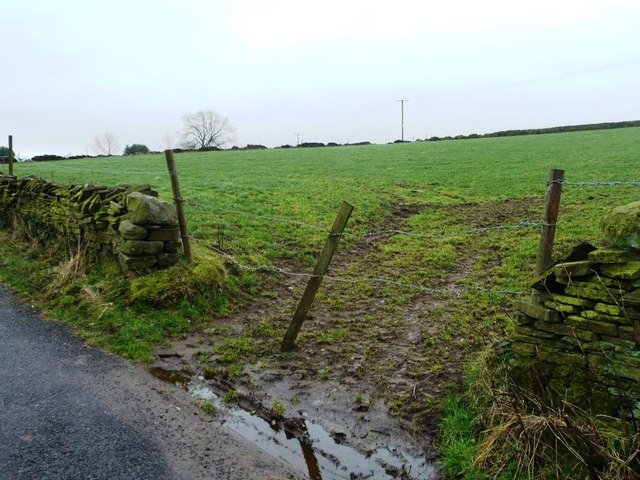
The wood offers a variety of recreational activities for visitors. There are several well-maintained walking trails that wind through the forest, providing ample opportunities for leisurely strolls or invigorating hikes. Wildlife enthusiasts can spot a range of animals, including deer, rabbits, and a variety of bird species.
Bendhill Wood is a popular destination for nature enthusiasts, photographers, and those seeking a tranquil escape from the hustle and bustle of everyday life. Its serene atmosphere, coupled with its natural beauty, makes it a must-visit location in Yorkshire for anyone who appreciates the wonders of the great outdoors.
If you have any feedback on the listing, please let us know in the comments section below.
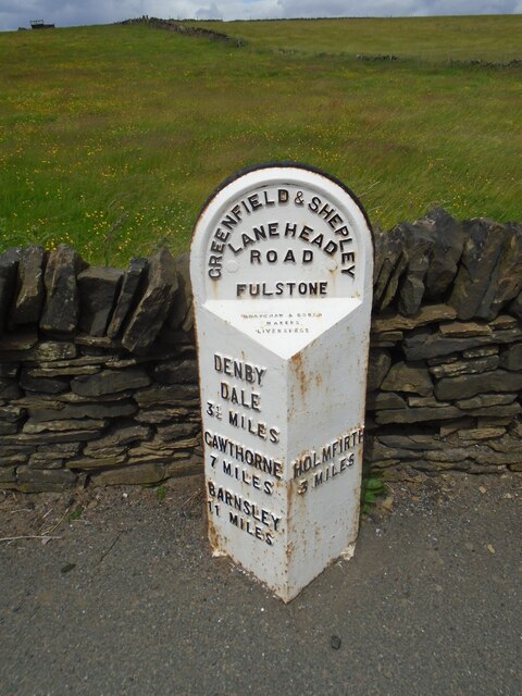
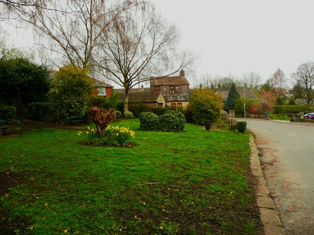
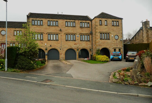
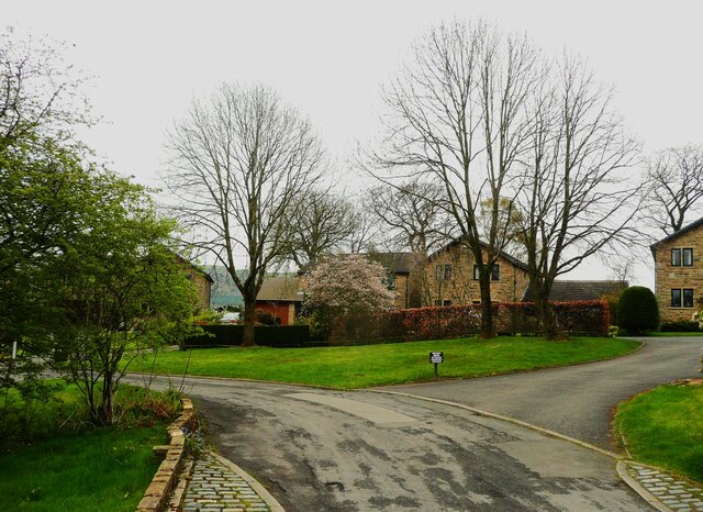
Bendhill Wood Images
Images are sourced within 2km of 53.570558/-1.7493134 or Grid Reference SE1608. Thanks to Geograph Open Source API. All images are credited.
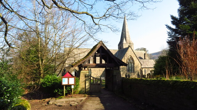
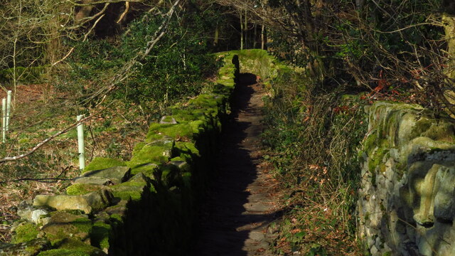
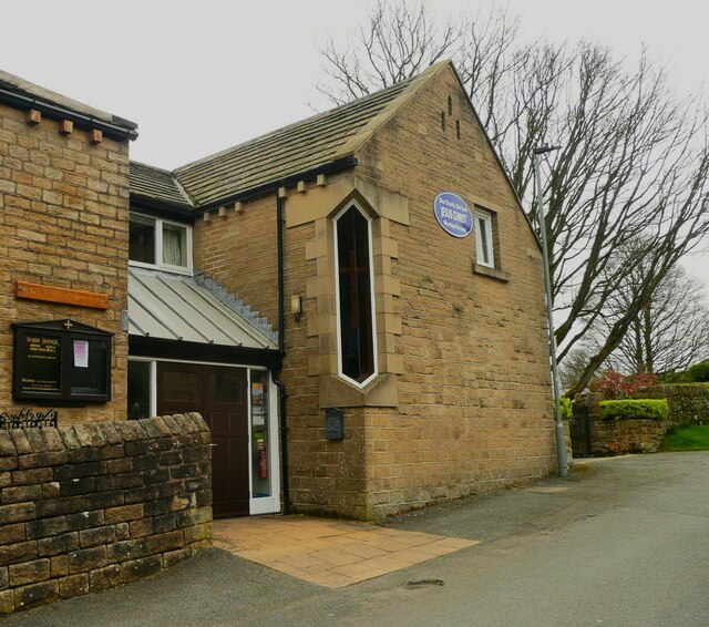

Bendhill Wood is located at Grid Ref: SE1608 (Lat: 53.570558, Lng: -1.7493134)
Division: West Riding
Unitary Authority: Kirklees
Police Authority: West Yorkshire
What 3 Words
///balconies.rinses.bakers. Near Holmfirth, West Yorkshire
Nearby Locations
Related Wikis
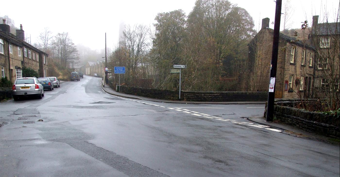
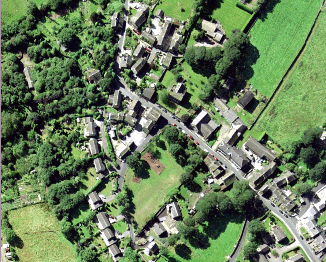
Jackson Bridge
Jackson Bridge is a small village in the civil parish of Holme Valley in the Metropolitan Borough of Kirklees in West Yorkshire, England and within the...
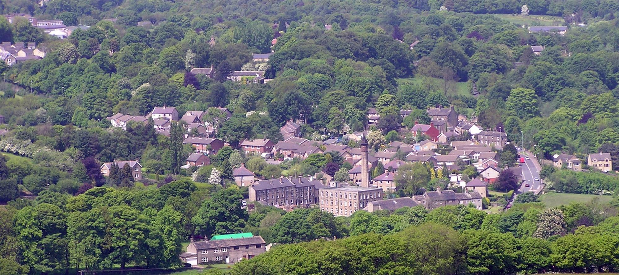
New Mill, West Yorkshire
New Mill, West Yorkshire, England, is a small, semi-rural village near the town of Holmfirth. It is in the metropolitan borough of Kirklees and the civil...

A635 road
The A635 is a main road that runs between Manchester and Doncaster running east–west through Stalybridge, Saddleworth Moor, Holmfirth, Barnsley and the...

Totties
Totties is a hamlet between New Mill and Scholes near Holmfirth in West Yorkshire, England. Although it consists of no more than 70-80 houses, it has within...

Scholes, Holme Valley
Scholes is a village and former civil parish, now in the parish of Holme Valley, in Kirklees, West Yorkshire, England. It is situated 1 mile (2 km) to...
Wooldale
Wooldale is a small village nestled on a hill, overlooking the Kirkroyds area of New Mill, Holmfirth in West Yorkshire, England. It has a population of...

Hepworth, West Yorkshire
Hepworth is a village and former civil parish, now in the parish of Holme Valley, in the metropolitan borough of Kirklees, in West Yorkshire, England....

Holmfirth High School
Holmfirth High School is a coeducational secondary school located on Heys Road in Thongsbridge, Holmfirth, West Yorkshire, England. Holmfirth High School...
Nearby Amenities
Located within 500m of 53.570558,-1.7493134Have you been to Bendhill Wood?
Leave your review of Bendhill Wood below (or comments, questions and feedback).