Burgess Bank Wood
Wood, Forest in Yorkshire Harrogate
England
Burgess Bank Wood

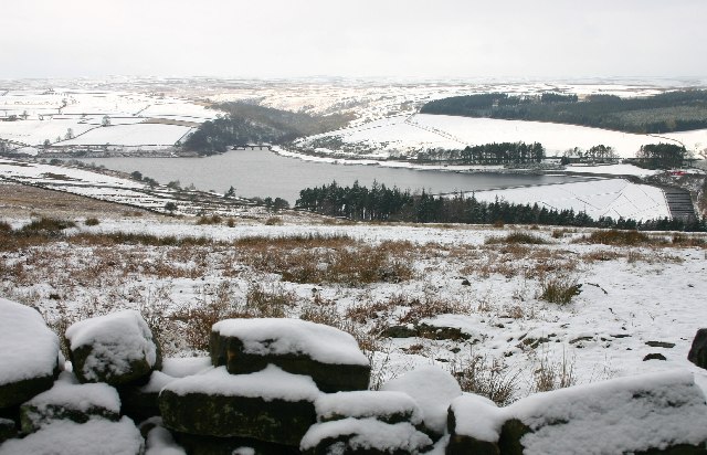
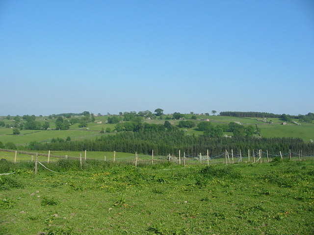
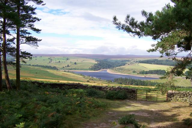
Burgess Bank Wood is a picturesque woodland located in Yorkshire, England. Nestled within the beautiful countryside, this woodland covers an area of approximately 50 acres, offering visitors a tranquil and serene escape from the bustling city life.
The wood is predominantly made up of native broadleaf trees such as oak, beech, and ash, creating a diverse and vibrant ecosystem. These trees provide a rich habitat for a variety of wildlife, including birds, squirrels, and deer, making it a popular spot for nature enthusiasts and birdwatchers.
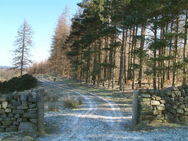
Walking through Burgess Bank Wood, visitors will be surrounded by a carpet of bluebells during the spring months, creating a stunning spectacle of color and fragrance. The wood also boasts a network of well-maintained footpaths, allowing visitors to explore the area easily and enjoy leisurely strolls.
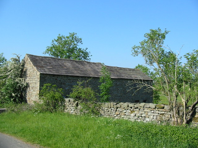
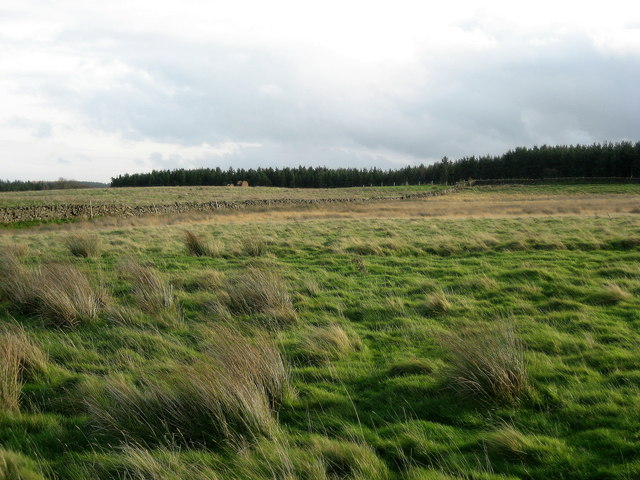
In addition to its natural beauty, the wood holds historical significance. It is believed that the area has been woodland for centuries, and remnants of old boundaries and stone walls can still be seen, adding to the charm and character of the wood.
Burgess Bank Wood is a popular destination for families, couples, and individuals seeking a peaceful retreat in nature. With its tranquil atmosphere, diverse wildlife, and breathtaking scenery, it offers a truly immersive experience for those looking to connect with the natural world.
If you have any feedback on the listing, please let us know in the comments section below.
Burgess Bank Wood Images
Images are sourced within 2km of 54.204624/-1.7454946 or Grid Reference SE1678. Thanks to Geograph Open Source API. All images are credited.


Burgess Bank Wood is located at Grid Ref: SE1678 (Lat: 54.204624, Lng: -1.7454946)
Division: North Riding
Administrative County: North Yorkshire
District: Harrogate
Police Authority: North Yorkshire
What 3 Words
///groups.fortnight.hovered. Near Masham, North Yorkshire
Nearby Locations
Related Wikis

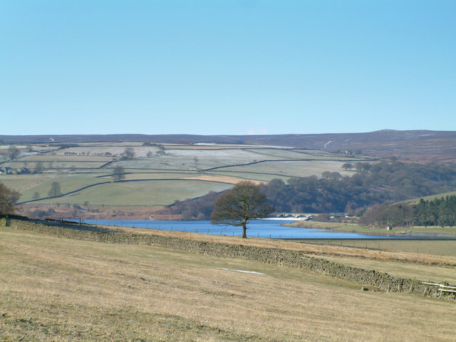
Leighton Reservoir
Leighton Reservoir is a reservoir which drains via the River Burn to the River Ure in North Yorkshire, England. It neighbours Roundhill Reservoir and is...

Leighton, North Yorkshire
Leighton is a hamlet in the civil parish of Healey in the Harrogate district of North Yorkshire, England. It is near Leighton Reservoir that provides for...

Healey, North Yorkshire
Healey is a small village and civil parish in the Harrogate district of North Yorkshire, England. It is situated in the valley of the River Burn, to the...
Ilton, North Yorkshire
Ilton is a village in North Yorkshire, England, 3 miles south-west of Masham. It is the principal settlement in the civil parish of Ilton cum Pott, in...

Roundhill Reservoir
Roundhill Reservoir is situated near Leighton Reservoir in North Yorkshire, England. It was constructed by Harrogate Corporation early in the 20th century...

Gollinglith Foot
Gollinglith Foot (GOWN-li FOOT), historically also spelt Gownley Foot, is a hamlet in the civil parish of Healey in the Harrogate district of North Yorkshire...

Colsterdale Light Railway
The Colsterdale Light Railway (CLR) was a narrow-gauge railway line in Colsterdale, North Yorkshire, England. It was built between 1903 and 1905 to allow...

Fearby
Fearby is a village and civil parish in North Yorkshire, England. It is located in the valley of the River Burn 2 miles (3 km) west of Masham. Nearby settlements...
Nearby Amenities
Located within 500m of 54.204624,-1.7454946Have you been to Burgess Bank Wood?
Leave your review of Burgess Bank Wood below (or comments, questions and feedback).