Dean Farm Covert
Wood, Forest in Gloucestershire Cotswold
England
Dean Farm Covert
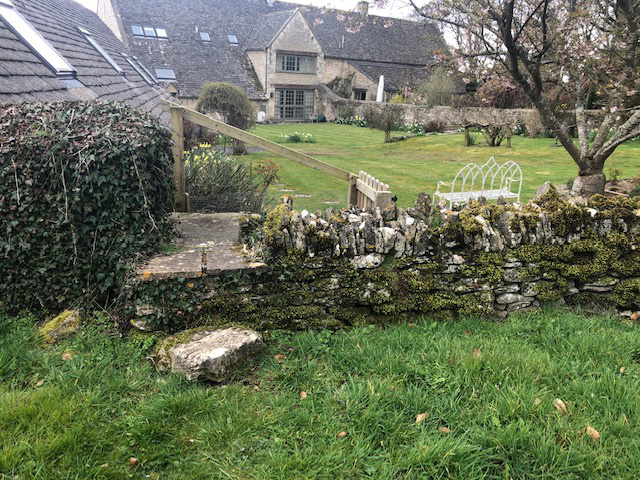
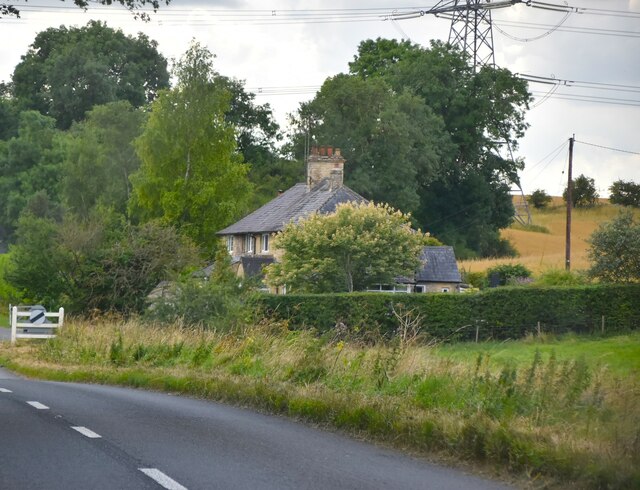
Dean Farm Covert is a picturesque woodland located in Gloucestershire, England. Stretching across a vast area, it is nestled within the beautiful Forest of Dean, renowned for its rich natural beauty and diverse wildlife. The farm covert is situated within this enchanting forest, offering visitors a peaceful and serene escape from the hustle and bustle of everyday life.
The woodland is characterized by its dense canopy of tall trees, creating a cool and shaded environment even on the hottest of summer days. The trees are predominantly broadleaf species, including oak, beech, and ash, which provide a vibrant display of colors during the autumn months. The forest floor is adorned with a carpet of wildflowers and ferns, adding to the area's charm and allure.
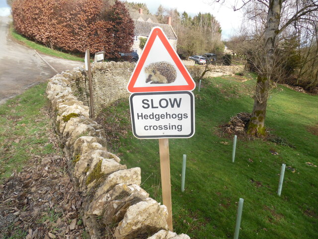
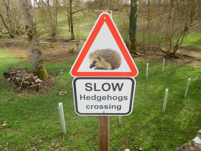
Dean Farm Covert is home to a wide variety of wildlife, making it a popular destination for nature enthusiasts and birdwatchers. Visitors may spot native species such as deer, badgers, foxes, and squirrels, as well as a plethora of bird species, including woodpeckers, warblers, and owls. The woodland is also known for its diverse insect population, with butterflies and dragonflies fluttering through the air.
For those seeking outdoor activities, Dean Farm Covert offers numerous walking trails and paths, allowing visitors to explore the woodland at their own pace. The tranquil setting provides an ideal backdrop for nature walks, picnics, and photography. Additionally, the woodland is intersected by a small stream, adding to the scenic beauty and providing a soothing ambiance.
Overall, Dean Farm Covert is a hidden gem within the Forest of Dean, offering a tranquil and picturesque woodland experience. Whether visitors are seeking a peaceful retreat or an opportunity to immerse themselves in nature, this idyllic location is sure to leave a lasting impression.
If you have any feedback on the listing, please let us know in the comments section below.
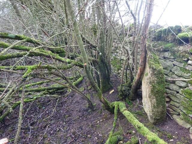
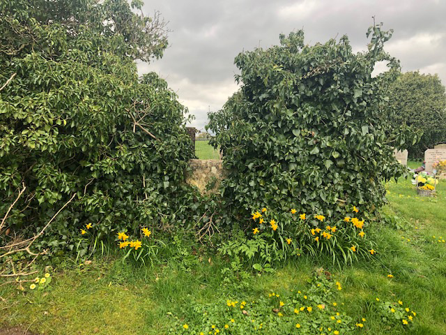
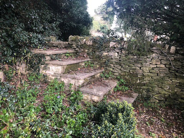
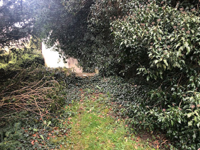
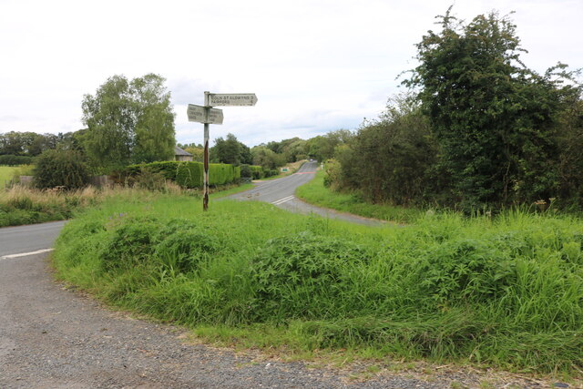
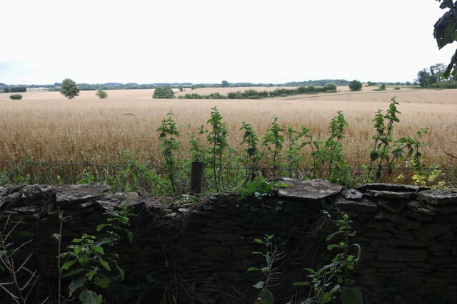
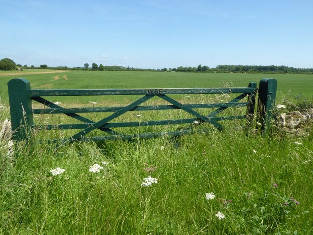
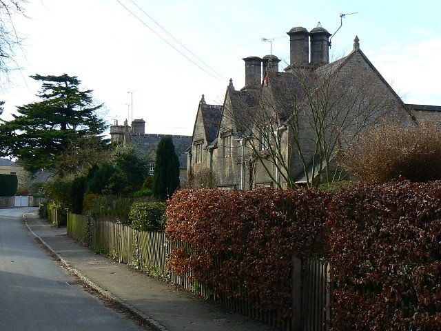
Dean Farm Covert Images
Images are sourced within 2km of 51.774924/-1.7593601 or Grid Reference SP1608. Thanks to Geograph Open Source API. All images are credited.


Dean Farm Covert is located at Grid Ref: SP1608 (Lat: 51.774924, Lng: -1.7593601)
Administrative County: Gloucestershire
District: Cotswold
Police Authority: Gloucestershire
What 3 Words
///reserves.flotation.doing. Near Fairford, Gloucestershire
Nearby Locations
Related Wikis

Aldsworth
Aldsworth is a village and civil parish in the Cotswold district of Gloucestershire, about ten miles north-east of Cirencester. In 2010 its population...
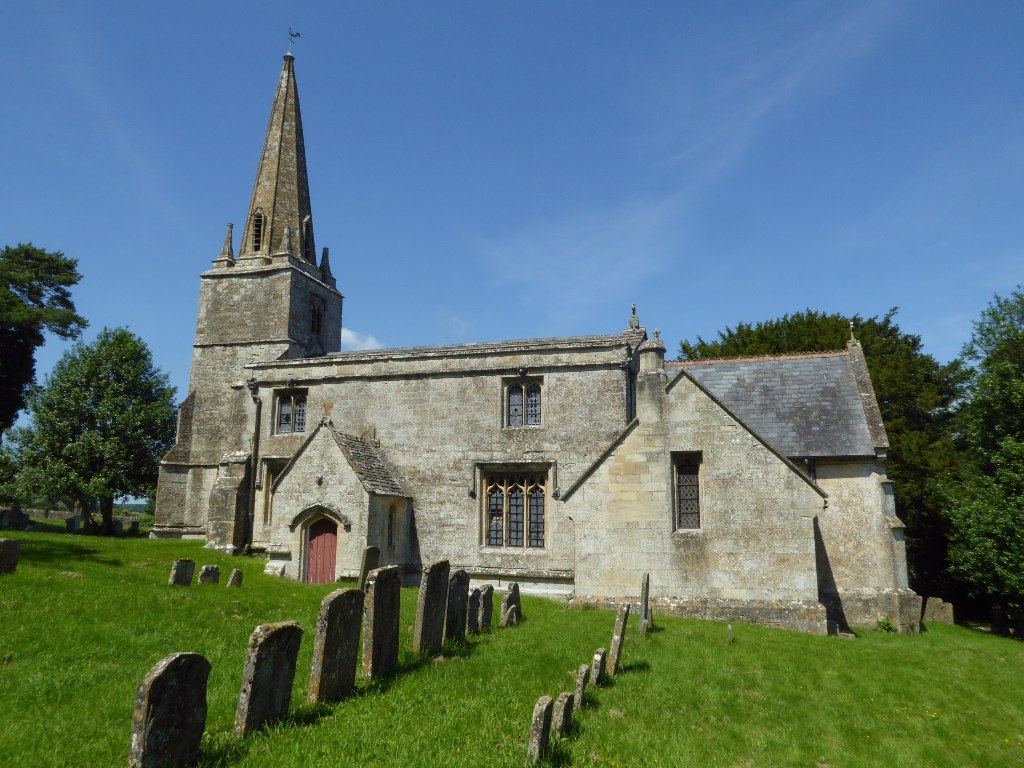
Church of St Bartholomew, Aldsworth
The Anglican Church of St Bartholomew at Aldsworth in the Cotswold District of Gloucestershire, England was built in the late 12th century. It is a grade...
Hatherop
Hatherop is a village and civil parish in the Cotswolds Area of Outstanding Natural Beauty, about 2.5 miles (4.0 km) north of Fairford in Gloucestershire...

Windrush, Gloucestershire
Windrush is a village and civil parish in Gloucestershire, England, approximately five miles southeast of Northleach. It lies in the Cotswolds on the River...

RAF Windrush
Royal Air Force Windrush, or more simply RAF Windrush, is a former Royal Air Force satellite station near Windrush, Gloucestershire, England. It was opened...

Coln St. Aldwyns
Coln St. Aldwyns (sometimes Coln St. Aldwyn) is a village and civil parish in the Cotswold district of the English county of Gloucestershire. == History... ==

Lodge Park and Sherborne Estate
Lodge Park was built as a grandstand in the Sherborne Estate near the villages of Sherborne, Aldsworth and Northleach in Gloucestershire, England. The...

Church of St Andrew, Eastleach Turville
The Anglican Church of St Andrew at Eastleach Turville in the Cotswold District of Gloucestershire, England, was built in the 12th century. It is a grade...
Have you been to Dean Farm Covert?
Leave your review of Dean Farm Covert below (or comments, questions and feedback).