Dean Camp

Heritage Site in Gloucestershire Cotswold

England

Dean Camp

Old Milestone, B4425 nr Aldsworth About ½ a mile West of the village. In parish of ALDSWORTH (COTSWOLD District), East of Aldsworth. Bibury marker, erected by the Bibury & Dancy's Fancy turnpike trust in the 19th century.

Inscription once read: Burford 7 / Cirencester 10
Lost benchmark representing 428.5 ft ASL (in 1900).

Milestone Society National ID: GL_CIBF10
Old Milestone, B4425 nr Aldsworth Credit: Mr Red

Dean Camp, located in Gloucestershire, is a significant heritage site that holds historical and cultural importance. Nestled within the enchanting Forest of Dean, this camp has a rich and diverse history that dates back several centuries.

Originally established in the mid-19th century, Dean Camp served as a training ground for the British Army. During World War II, it played a crucial role in preparing troops for combat, particularly as a training base for the Home Guard. The camp also served as a prisoner of war camp for Italian and German captives during this period.

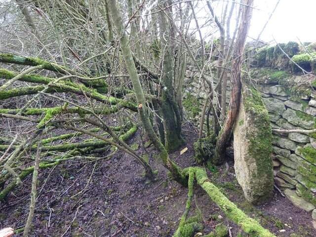
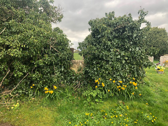
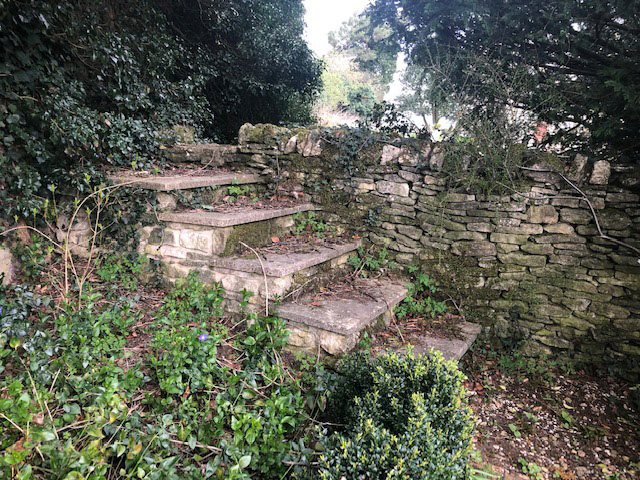
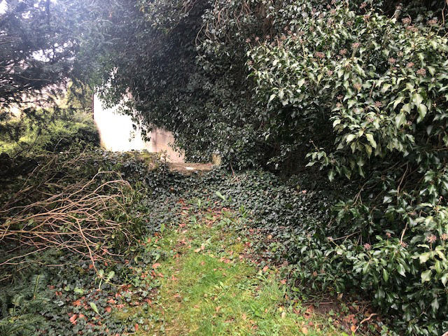
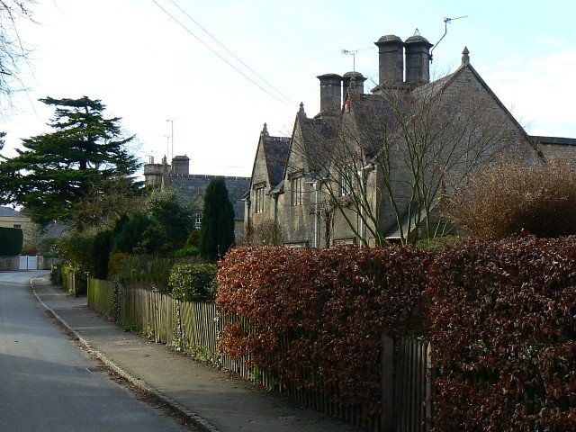
Today, Dean Camp stands as a testament to its past, offering visitors a chance to explore its historical significance. The site features well-preserved military structures, including barracks, training fields, and administrative buildings. Walking through the camp, visitors can get a glimpse into the lives of soldiers who trained and resided here.

In addition to its military heritage, Dean Camp is also known for its stunning natural surroundings. The Forest of Dean, with its ancient woodlands, provides a picturesque backdrop for the site. Visitors can enjoy scenic walks, discovering the flora and fauna that thrive in this unique ecosystem.

Dean Camp is a popular destination for history enthusiasts, nature lovers, and those seeking a tranquil retreat. With its combination of historical significance and natural beauty, it offers a captivating experience for all who visit.

If you have any feedback on the listing, please let us know in the comments section below.
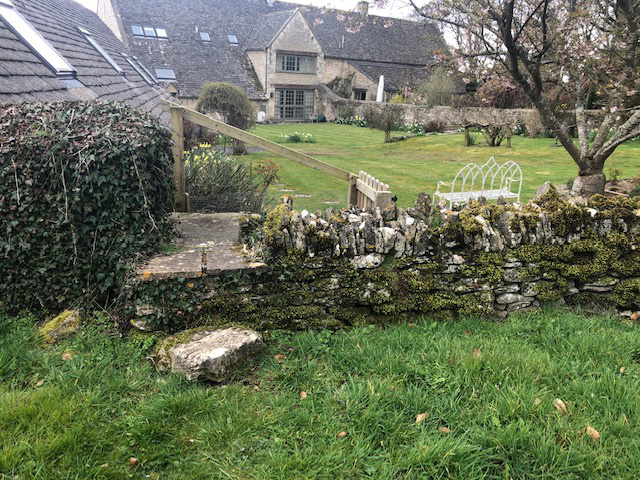
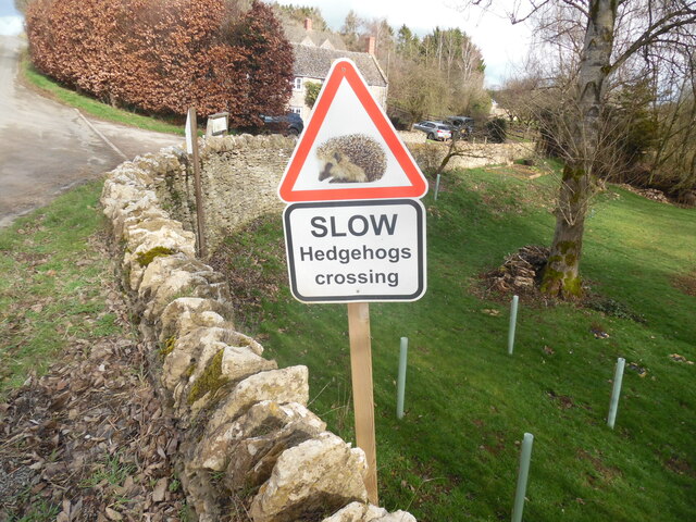
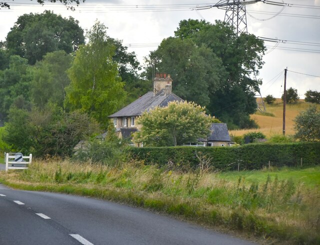
Dean Camp Images

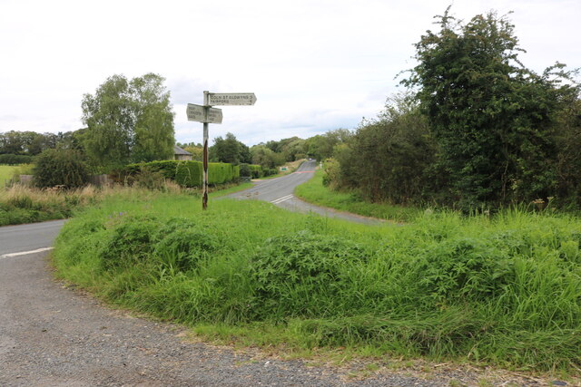
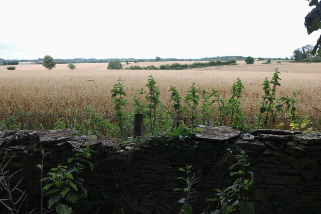
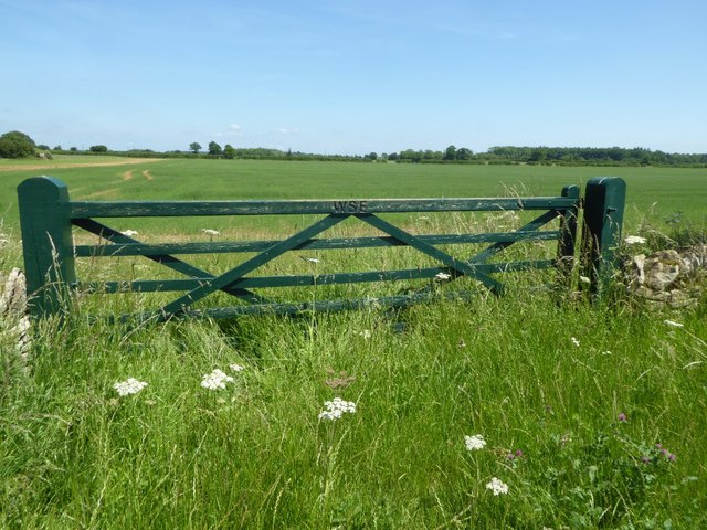
Images are sourced within 2km of 51.775/-1.76 or Grid Reference SP1608. Thanks to Geograph Open Source API. All images are credited.

Old Milestone, B4425 nr Aldsworth About ½ a mile West of the village. In parish of ALDSWORTH (COTSWOLD District), East of Aldsworth. Bibury marker, erected by the Bibury & Dancy's Fancy turnpike trust in the 19th century.

Inscription once read: Burford 7 / Cirencester 10
Lost benchmark representing 428.5 ft ASL (in 1900).

Milestone Society National ID: GL_CIBF10
Old Milestone, B4425 nr Aldsworth
About ½ a mile West of the village. In parish of ALDSWORTH (COTSWOLD District), East of Aldsworth. Bibury marker, erected by the Bibury & Dancy's Fancy turnpike trust in the 19th century. Inscription once read: Burford 7 / Cirencester 10 Lost benchmark representing 428.5 ft ASL (in 1900). Milestone Society National ID: GL_CIBF10
Stone Stile, Aldsworth Not on a registered footpath, in the churchyard wall of St Bartholomew's.
Stone Stile, Aldsworth
Not on a registered footpath, in the churchyard wall of St Bartholomew's.
Stone Stile, Aldsworth A private stile to the church storeyard from the graveyard. St Bartholomew's. Looking towards the church, the view SE back is <a href="https://www.geograph.org.uk/photo/7299535">SP1509 : Stone Stile, Aldsworth</a>.
Stone Stile, Aldsworth
A private stile to the church storeyard from the graveyard. St Bartholomew's. Looking towards the church, the view SE back is SP1509 : Stone Stile, Aldsworth.
Stone Stile, Aldsworth A private stile to the church storeyard from the graveyard. St Bartholomew's. Looking SE, the view NW towards the church is <a href="https://www.geograph.org.uk/photo/7299530">SP1509 : Stone Stile, Aldsworth</a>.
Stone Stile, Aldsworth
A private stile to the church storeyard from the graveyard. St Bartholomew's. Looking SE, the view NW towards the church is SP1509 : Stone Stile, Aldsworth.
Stone Stile, Aldsworth A private stile from the large divided house made to look like a Tithe Barn, and St Bartholomews.
Stone Stile, Aldsworth
A private stile from the large divided house made to look like a Tithe Barn, and St Bartholomews.
Slow Hedgehogs Crossing road sign near Swyre Farm (1) This road sign is located on the road between Aldsworth and Coln St Alwyns. Swyre Farm can be seen in the background.
Slow Hedgehogs Crossing road sign near Swyre Farm (1)
This road sign is located on the road between Aldsworth and Coln St Alwyns. Swyre Farm can be seen in the background.
Slow Hedgehogs Crossing road sign near Swyre Farm (2) This road sign is located by the road near Swyre Farm GL54 3RE between Aldsworth and Coln St Aldwyns.
Slow Hedgehogs Crossing road sign near Swyre Farm (2)
This road sign is located by the road near Swyre Farm GL54 3RE between Aldsworth and Coln St Aldwyns.
New Cottage
New Cottage
Junction on the B4425, Aldsworth
The road to Coln St Aldwyns By Swire Barton
The road to Coln St Aldwyns
By Swire Barton
Field south of Aldsworth
Fields in Aldsworth
Fields in Aldsworth
Approaching Aldsworth
Field in Aldsworth
Field in Aldsworth
Field gate A field gate with WSE engraved in the top rail, possibly an abbreviation for Williamstrip Estate.
Field gate
A field gate with WSE engraved in the top rail, possibly an abbreviation for Williamstrip Estate.
Country road approaching Coltsmoor Farm
Farmland by Dean Farm Farmland by Dean Farm to the north-east of Coln St Aldwyns.
Farmland by Dean Farm
Farmland by Dean Farm to the north-east of Coln St Aldwyns.
No through road approaching Dean Farm
Show me another place!

Dean Camp is located at Grid Ref: SP1608 (Lat: 51.775, Lng: -1.76)

Administrative County: Gloucestershire

District: Cotswold

Police Authority: Gloucestershire

What 3 Words

///easels.games.trickled. Near Fairford, Gloucestershire

Nearby Locations

Dean Farm Covert Dean Camp

Related Wikis

Aldsworth

Aldsworth is a village and civil parish in the Cotswold district of Gloucestershire, about ten miles north-east of Cirencester. In 2010 its population...

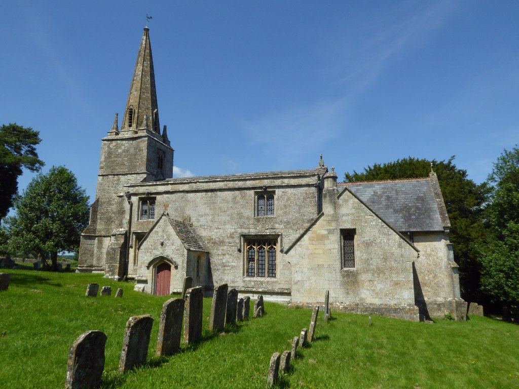
Church of St Bartholomew, Aldsworth

The Anglican Church of St Bartholomew at Aldsworth in the Cotswold District of Gloucestershire, England was built in the late 12th century. It is a grade...

Hatherop

Hatherop is a village and civil parish in the Cotswolds Area of Outstanding Natural Beauty, about 2.5 miles (4.0 km) north of Fairford in Gloucestershire...

Windrush, Gloucestershire

Windrush is a village and civil parish in Gloucestershire, England, approximately five miles southeast of Northleach. It lies in the Cotswolds on the River...

RAF Windrush

Royal Air Force Windrush, or more simply RAF Windrush, is a former Royal Air Force satellite station near Windrush, Gloucestershire, England. It was opened...

Coln St. Aldwyns

Coln St. Aldwyns (sometimes Coln St. Aldwyn) is a village and civil parish in the Cotswold district of the English county of Gloucestershire. == History... ==

Lodge Park and Sherborne Estate

Lodge Park was built as a grandstand in the Sherborne Estate near the villages of Sherborne, Aldsworth and Northleach in Gloucestershire, England. The...

Church of St Andrew, Eastleach Turville

The Anglican Church of St Andrew at Eastleach Turville in the Cotswold District of Gloucestershire, England, was built in the 12th century. It is a grade...

Have you been to Dean Camp?

Leave your review of Dean Camp below (or comments, questions and feedback).