Clints Moor
Downs, Moorland in Yorkshire Harrogate
England
Clints Moor

Clints Moor is a picturesque area located in the county of Yorkshire, England. Nestled amidst the stunning Yorkshire Downs and Moorland, it offers visitors a unique blend of natural beauty and cultural heritage.
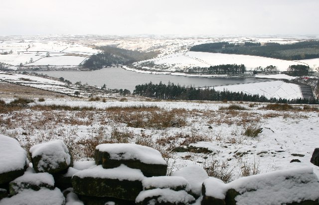
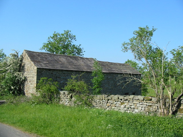
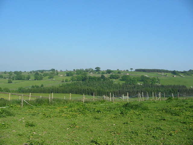
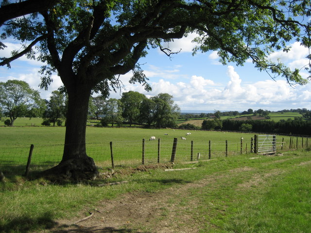
Covering an expansive area, Clints Moor is characterized by its rolling hills, open fields, and vast stretches of heather-covered moorland. The landscape is dotted with stone walls and scattered sheep, giving it a quintessential English countryside feel. The moorland is especially captivating during the summer months when the heather blooms, painting the scenery with vibrant shades of purple.
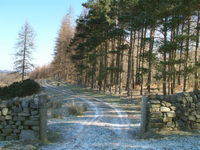
The area is a haven for outdoor enthusiasts, offering numerous walking and hiking trails that cater to all levels of fitness. Visitors can explore the moorland on foot, taking in the breathtaking views and immersing themselves in nature. The Yorkshire Downs provide an excellent backdrop for horseback riding, with several stables offering guided tours and lessons.
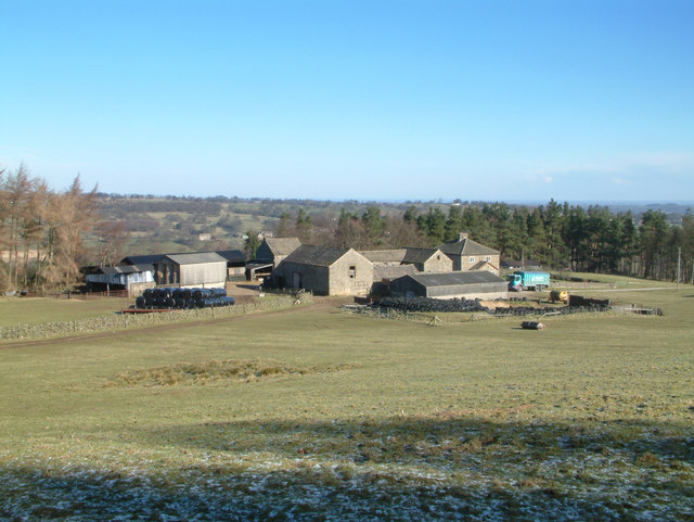
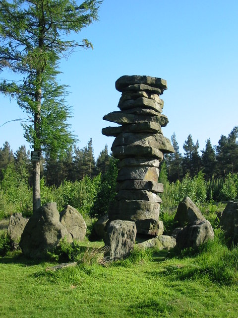
For those interested in history and culture, Clints Moor has plenty to offer. The area is rich in archaeological sites, including ancient burial mounds and stone circles, which provide a fascinating glimpse into the region's past. Additionally, the nearby villages boast charming traditional architecture and quaint pubs serving delicious local cuisine.
Overall, Clints Moor, Yorkshire, is a place of natural wonders and cultural treasures. Whether you are seeking outdoor adventure, relaxation in a tranquil setting, or a glimpse into the past, this beautiful area has something to offer everyone.
If you have any feedback on the listing, please let us know in the comments section below.
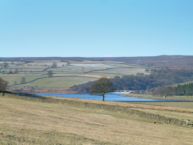
Clints Moor Images
Images are sourced within 2km of 54.202163/-1.7419532 or Grid Reference SE1678. Thanks to Geograph Open Source API. All images are credited.


Clints Moor is located at Grid Ref: SE1678 (Lat: 54.202163, Lng: -1.7419532)
Division: North Riding
Administrative County: North Yorkshire
District: Harrogate
Police Authority: North Yorkshire
What 3 Words
///crystal.bandaged.twee. Near Masham, North Yorkshire
Nearby Locations
Related Wikis

Leighton Reservoir
Leighton Reservoir is a reservoir which drains via the River Burn to the River Ure in North Yorkshire, England. It neighbours Roundhill Reservoir and is...

Leighton, North Yorkshire
Leighton is a hamlet in the civil parish of Healey in the Harrogate district of North Yorkshire, England. It is near Leighton Reservoir that provides for...
Ilton, North Yorkshire
Ilton is a village in North Yorkshire, England, 3 miles south-west of Masham. It is the principal settlement in the civil parish of Ilton cum Pott, in...

Healey, North Yorkshire
Healey is a small village and civil parish in the Harrogate district of North Yorkshire, England. It is situated in the valley of the River Burn, to the...

Roundhill Reservoir
Roundhill Reservoir is situated near Leighton Reservoir in North Yorkshire, England. It was constructed by Harrogate Corporation early in the 20th century...

Colsterdale Light Railway
The Colsterdale Light Railway (CLR) was a narrow-gauge railway line in Colsterdale, North Yorkshire, England. It was built between 1903 and 1905 to allow...

Gollinglith Foot
Gollinglith Foot (GOWN-li FOOT), historically also spelt Gownley Foot, is a hamlet in the civil parish of Healey in the Harrogate district of North Yorkshire...

Fearby
Fearby is a village and civil parish in North Yorkshire, England. It is located in the valley of the River Burn 2 miles (3 km) west of Masham. Nearby settlements...
Nearby Amenities
Located within 500m of 54.202163,-1.7419532Have you been to Clints Moor?
Leave your review of Clints Moor below (or comments, questions and feedback).