Beech Plantation

Wood, Forest in Gloucestershire Cotswold

England

Beech Plantation

Field near Grey stone Farm A bridleway follows the hedgerow to the right of this field near GreyStone Farm which can be seen by the hedge to the left.
Field near Grey stone Farm Credit: Philip Halling

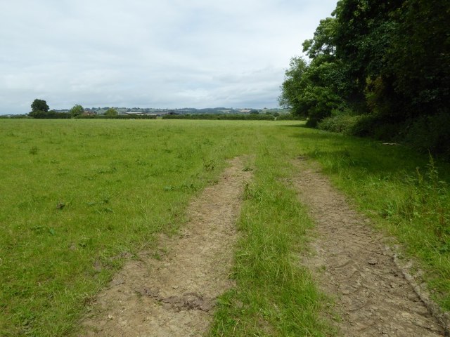
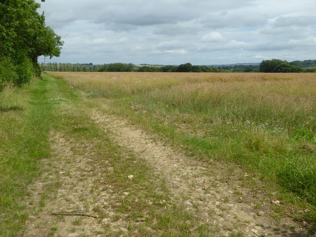
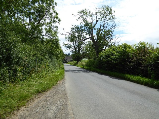
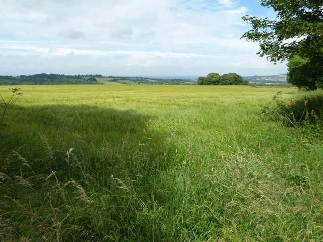
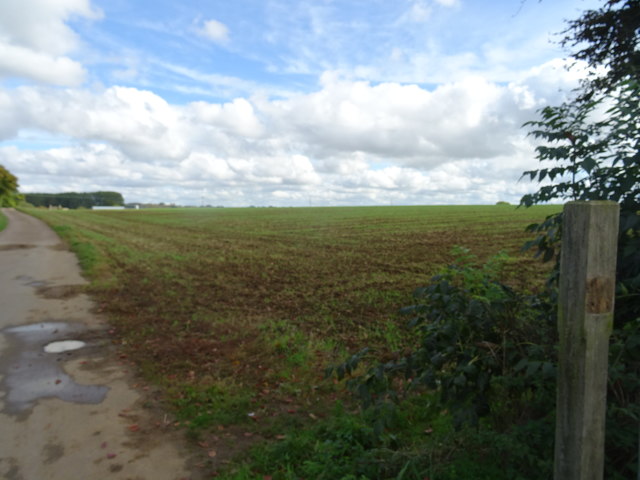
Beech Plantation is a renowned woodland located in Gloucestershire, England. Spanning over a vast area, this plantation is known for its dense population of beech trees, which lend their name to the site. The plantation is situated within the enchanting Forest of Dean, a region renowned for its natural beauty and rich biodiversity.

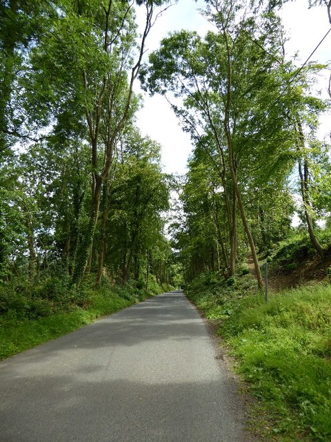
The beech trees in Beech Plantation are of various ages, with some dating back several centuries. These towering giants create a captivating canopy, providing shade and shelter to a diverse range of flora and fauna. The woodland floor is carpeted with a lush carpet of ferns, wildflowers, and moss, adding to the enchanting atmosphere.

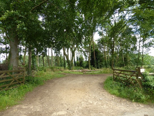
As one explores the plantation, they will come across well-maintained trails that wind through the forest, making it an ideal location for nature walks and hiking. The paths allow visitors to fully immerse themselves in the tranquil surroundings and appreciate the beauty of the woodland.

Beech Plantation is also known for its wildlife. The forest is home to a plethora of bird species, including woodpeckers, owls, and various songbirds. Small mammals such as squirrels, rabbits, and foxes can also be spotted, adding to the charm of the woodland experience.

The plantation is open to the public and offers a serene retreat from the bustle of everyday life. Whether it's a leisurely stroll, a picnic amidst nature, or simply taking in the picturesque scenery, Beech Plantation provides an idyllic setting for visitors to connect with the natural world.

If you have any feedback on the listing, please let us know in the comments section below.

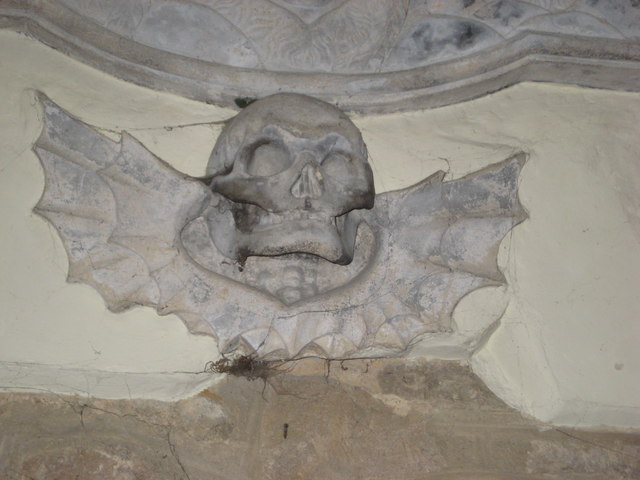
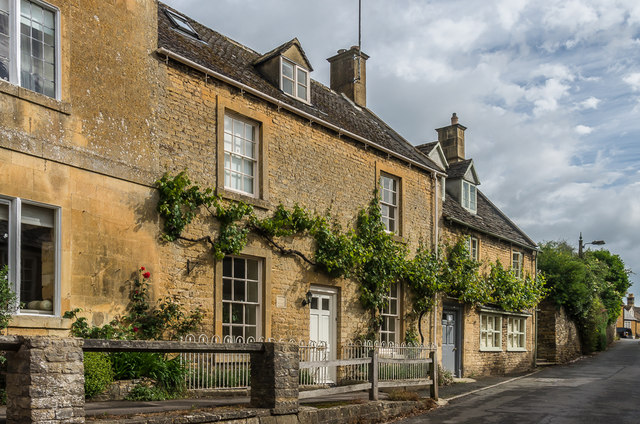
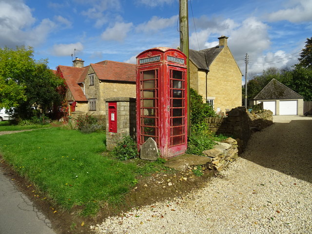
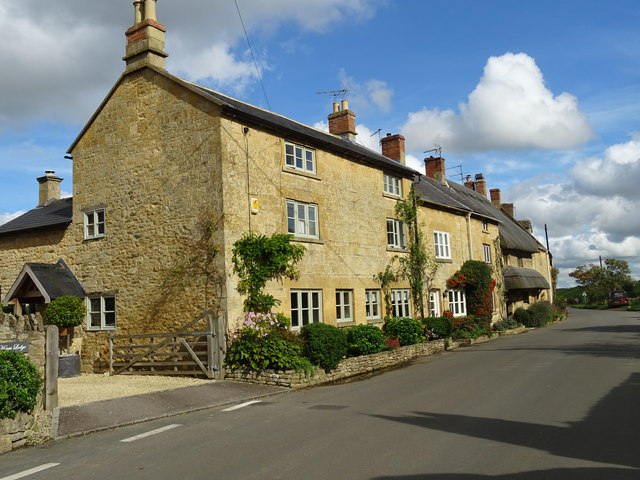
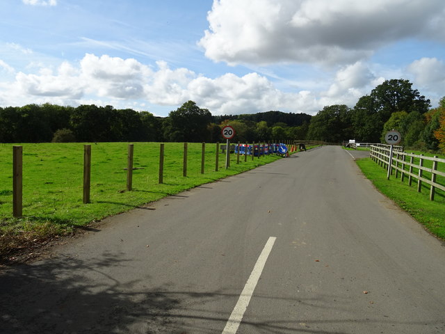
Beech Plantation Images

Images are sourced within 2km of 52.02946/-1.7658103 or Grid Reference SP1636. Thanks to Geograph Open Source API. All images are credited.

Field near Grey stone Farm A bridleway follows the hedgerow to the right of this field near GreyStone Farm which can be seen by the hedge to the left.
Field near Grey stone Farm
A bridleway follows the hedgerow to the right of this field near GreyStone Farm which can be seen by the hedge to the left.
Headland track near Wellacres Farm Headland track near Wellacres Farm to the north of the village of Draycott.
Headland track near Wellacres Farm
Headland track near Wellacres Farm to the north of the village of Draycott.
Entrance to Northwick Business Centre Entrance to Northwick Business Centre near the village of Draycott.
Entrance to Northwick Business Centre
Entrance to Northwick Business Centre near the village of Draycott.
Oak tree beside the road An oak tree in the hedgerow beside a country road near Draycott.
Oak tree beside the road
An oak tree in the hedgerow beside a country road near Draycott.
Road approaching Draycott
Woodland belt at Northwick Park Entrance to a woodland belt beside a country road passing Northwick Park, near Blockley.
Woodland belt at Northwick Park
Entrance to a woodland belt beside a country road passing Northwick Park, near Blockley.
Road passing through Beech Plantation Road passing through Beech Plantation in Northwick Park.
Road passing through Beech Plantation
Road passing through Beech Plantation in Northwick Park.
Farmland above Chipping Campden
The reason for 'Doing Posh' The dedication plaque for the village bus shelter.
The Coronation of Queen Elizabeth II.
The reason for 'Doing Posh'
The dedication plaque for the village bus shelter. The Coronation of Queen Elizabeth II.
Blockley does posh Whilst the camera does not capture the warmth of the Cotswold stone.
This is one well kept and crafted bus shelter.
It is over 60 years old and commemorates Queen Elizabeth II Coronation.
<a href="https://www.geograph.org.uk/photo/5308627">SP1635 : The reason for 'Doing Posh'</a> has a photo of the plaque.
Blockley does posh
Whilst the camera does not capture the warmth of the Cotswold stone. This is one well kept and crafted bus shelter. It is over 60 years old and commemorates Queen Elizabeth II Coronation. SP1635 : The reason for 'Doing Posh' has a photo of the plaque.
Green in Winter A rather grand conifer in Lower Street.
Green in Winter
A rather grand conifer in Lower Street.
I have a question Are the railings to keep us out or them in?
Quite a number of tombs in this church yard have railings around them.
One would speculate that these are post WWII.
The tomb in front is a bale reflecting the wool trade of the past.
I have a question
Are the railings to keep us out or them in? Quite a number of tombs in this church yard have railings around them. One would speculate that these are post WWII. The tomb in front is a bale reflecting the wool trade of the past.
We are but mortal Not a tribute to a chapter of Hell's Angels. 
But a grim reminder from the stonemason that we are all mortal.
We are but mortal
Not a tribute to a chapter of Hell's Angels. But a grim reminder from the stonemason that we are all mortal.
Vine House Early 19th Century house on High Street.  Beyond is Balhatchets, of the same age, which once served as a butcher's shop.  Both are grade II listed - see <span class="nowrap"><a title="www.historicengland.org.uk/listing/the-list/list-entry/1088611" rel="nofollow ugc noopener" href="http://www.historicengland.org.uk/listing/the-list/list-entry/1088611">Link</a><img style="margin-left:2px;" alt="External link" title="External link - shift click to open in new window" src="https://s1.geograph.org.uk/img/external.png" width="10" height="10"/></span> and <span class="nowrap"><a title="www.historicengland.org.uk/listing/the-list/list-entry/1304352" rel="nofollow ugc noopener" href="http://www.historicengland.org.uk/listing/the-list/list-entry/1304352">Link</a><img style="margin-left:2px;" alt="External link" title="External link - shift click to open in new window" src="https://s1.geograph.org.uk/img/external.png" width="10" height="10"/></span> respectively.
Vine House
Early 19th Century house on High Street. Beyond is Balhatchets, of the same age, which once served as a butcher's shop. Both are grade II listed - see LinkExternal link and LinkExternal link respectively.
Farmland above Chipping Campden
Communication facilities in Broad Campden The phone box is 'Out of order' since the phone has been removed. All of the rural village phones in the area seem to have been removed.
Communication facilities in Broad Campden
The phone box is 'Out of order' since the phone has been removed. All of the rural village phones in the area seem to have been removed.
Houses in Broad Campden
Entrance to the Business Centre
Show me another place!

Beech Plantation is located at Grid Ref: SP1636 (Lat: 52.02946, Lng: -1.7658103)

Administrative County: Gloucestershire

District: Cotswold

Police Authority: Gloucestershire

What 3 Words

///able.reader.dwarf. Near Blockley, Gloucestershire

Related Wikis

Northwick Park, Gloucestershire

Northwick Park is a residential estate and business centre near Blockley in Gloucestershire, England. The estate is built in the grounds of the former...

Broad Campden

Broad Campden is a small village in Gloucestershire, England, with a church and pub, and notable for its beauty and fine walking trails. == History... ==

Blockley

Blockley is a village, civil parish and ecclesiastical parish in the Cotswold district of Gloucestershire, England, about 3 miles (5 km) northwest of Moreton...

Wellacre Quarry

Wellacre Quarry (grid reference SP180370) is a 12.3 hectare geological Site of Special Scientific Interest in Gloucestershire, notified in 1974. It is...

Draycott, Gloucestershire

Draycott is a small hamlet in north Gloucestershire between Moreton-in-Marsh and Blockley, within Blockley civil parish. It is not mentioned in Domesday...

Blockley railway station

Blockley railway station served the village of Blockley, Gloucestershire, England from 1853 to 1966 on the Oxford, Worcester and Wolverhampton Railway...

Guild and School of Handicraft

The Guild and School of Handicraft was established in 1888 in London, later moving to Chipping Campden in Gloucestershire, England, as a community of artists...

Chipping Campden Town Hall

Chipping Campden Town Hall is a municipal building in the High Street, Chipping Campden, Gloucestershire, England. The building, which is the meeting place...

Nearby Amenities

Located within 500m of 52.02946,-1.7658103
Hangman's Hall Farm
Location Transition: yes
Power: pole
Ref: 770282
Source: wpd_opendata
Transformer: distribution
Voltage Primary: 11000
Lat/Long: 52.0257441/-1.7696194
Sedgecombe Farm
Power: pole
Transformer: distribution
Voltage Primary: 11000
Lat/Long: 52.0303881/-1.764683
Power: pole
Lat/Long: 52.0296083/-1.7647567
Power: pole
Lat/Long: 52.0287782/-1.7648184
Power: pole
Lat/Long: 52.0279506/-1.7653066
Power: pole
Lat/Long: 52.0270083/-1.7659061
Location Transition: yes
Power: pole
Lat/Long: 52.0268321/-1.7670688
The data included in this document is from www.openstreetmap.org. The data is made available under ODbL.

Have you been to Beech Plantation?

Leave your review of Beech Plantation below (or comments, questions and feedback).